Orange is a town in New Haven County, Connecticut, United States. The town is part of the South Central Connecticut Planning Region. The population was 14,280 at the 2020 census. The town is governed by a Board of Selectmen.
| Name: | Orange CDP |
|---|---|
| LSAD Code: | 57 |
| LSAD Description: | CDP (suffix) |
| State: | Connecticut |
| County: | New Haven County |
| Incorporated: | 1822 |
| Elevation: | 213 ft (65 m) |
| Total Area: | 17.4 sq mi (45.1 km²) |
| Land Area: | 17.2 sq mi (44.5 km²) |
| Water Area: | 0.2 sq mi (0.6 km²) |
| Total Population: | 14,280 |
| Population Density: | 820/sq mi (320/km²) |
| ZIP code: | 06477 |
| Area code: | 203/475 |
| FIPS code: | 0957670 |
| GNISfeature ID: | 0213485 |
| Website: | www.orange-ct.gov |
Online Interactive Map
Click on ![]() to view map in "full screen" mode.
to view map in "full screen" mode.
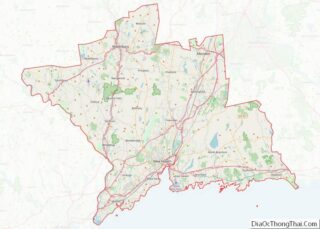
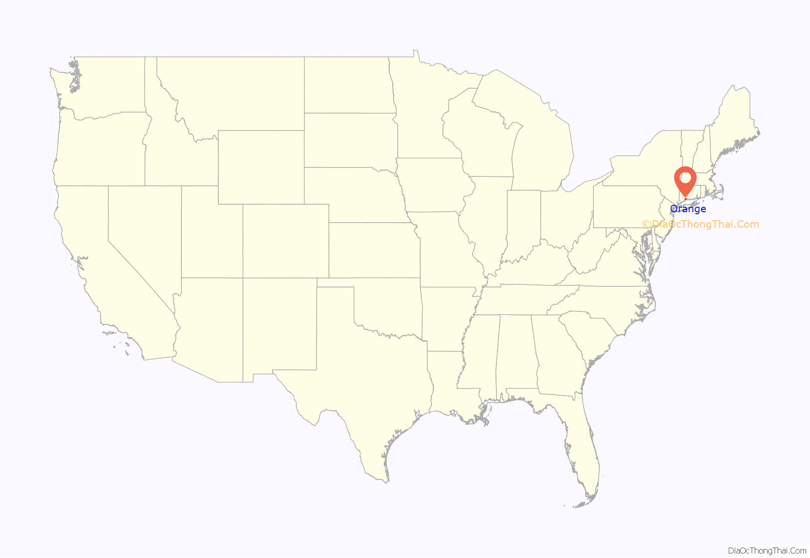
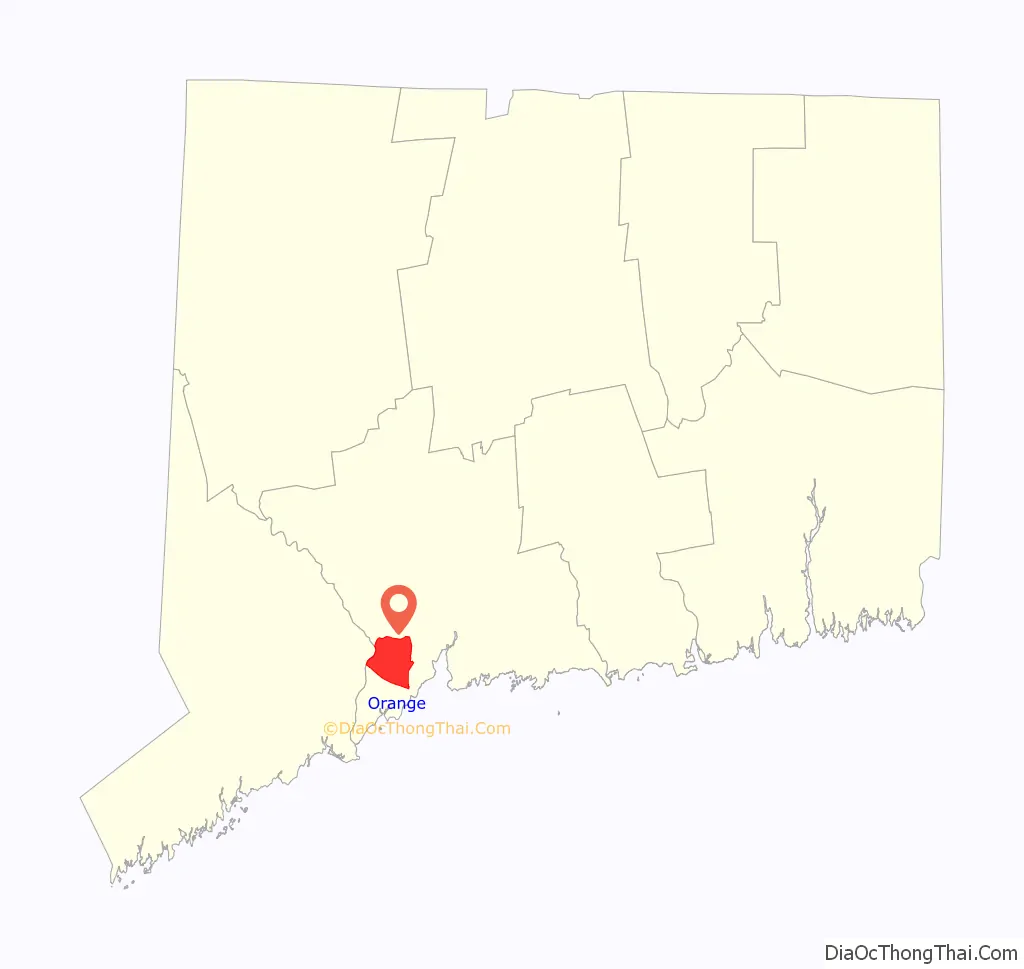
Orange location map. Where is Orange CDP?
History
The Paugusset and Algonquian people previously inhabited the region that is now Orange. In 1639, Rev. Peter Prudden purchased the land from the Native Americans for six coats, ten blankets, one kettle, twelve hatchets, twelve hoes, two dozen knives and a dozen small mirrors. When originally settled by English colonists, Orange was the northern and eastern district of the now neighboring city of Milford; however, by 1822, the population of the area had grown to the point where residents desired to form their own separate community, thus forming the town of Orange.
The town is named after William III of England, who was Prince of Orange from birth. William is remembered for succeeding James II, deposed in the Glorious Revolution of 1688. James II had been considered a despot in Connecticut; he had famously and unsuccessfully commissioned Edmund Andros to seize Connecticut’s Charter.
The town continued to grow throughout the 19th century. As early as 1848, a separation of Orange and West Haven was considered. It was not until 1921 that the two were officially separated by act of the Connecticut General Assembly and the new city of West Haven was formed out of the southeastern portion of Orange. This left Orange a largely rural town, as the bulk of the urbanized population was ceded to West Haven. In the post-war years, however, Orange began suburbanizing at a rapid pace.
Early roads through the area included the Boston Post Road (now U.S. Route 1) and the Derby Turnpike (now Connecticut Route 34). The turnpike was originally an Indian path. A toll road through Orange, from New Haven to Derby, was built starting in 1800. The toll house was located in Orange; tolls ended in 1887. The New Haven and Derby Railroad ran through Orange starting in 1871, with a station in Orange. At its peak, there were eleven trains per day in each direction along with one freight train. The advent of a trolley from New Haven to Derby (starting in 1904 and running until 1937) hastened the end to rail service (in 1925). Later, the construction of the Wilbur Cross Parkway and Interstate 95 brought highways through the area.
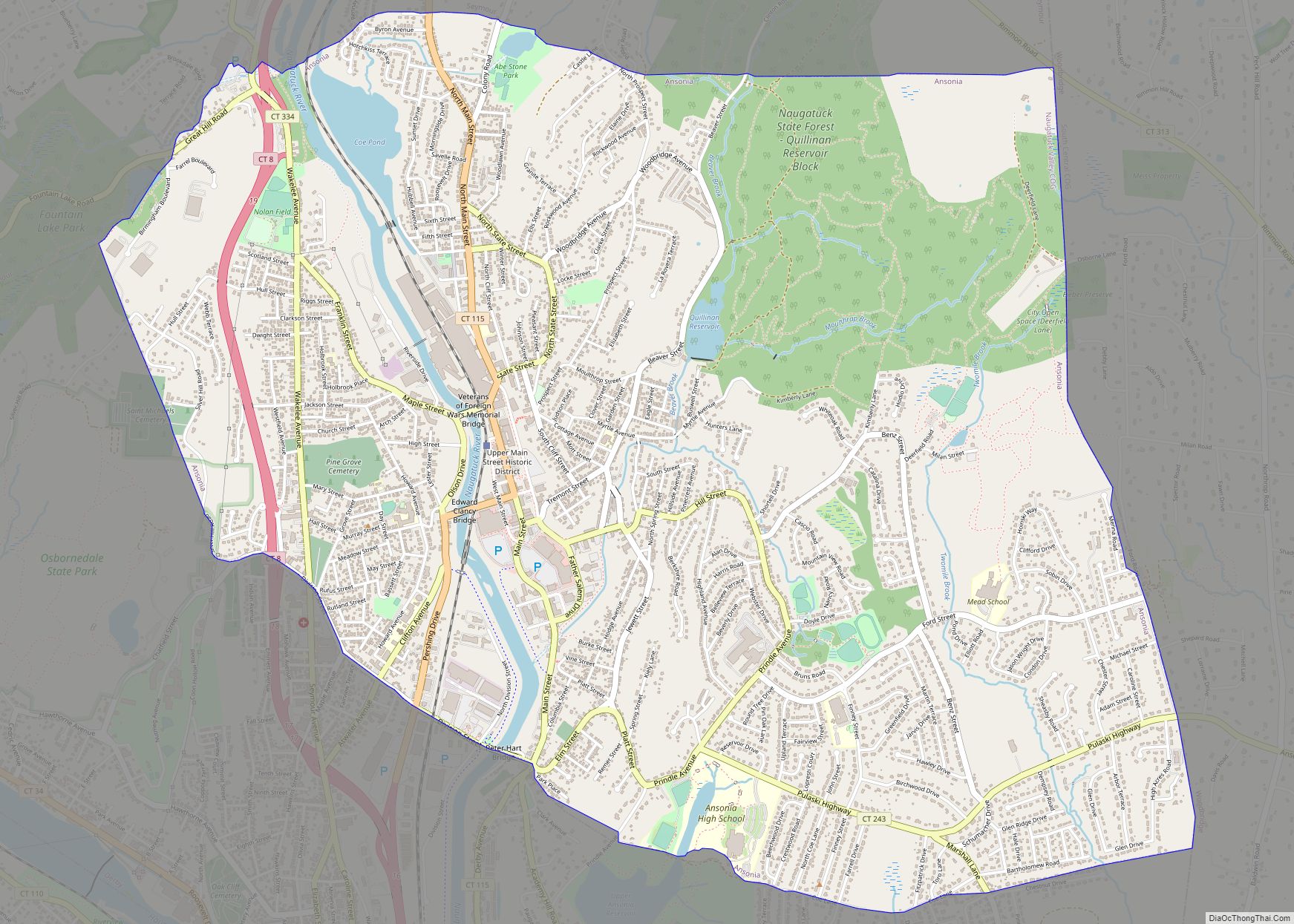
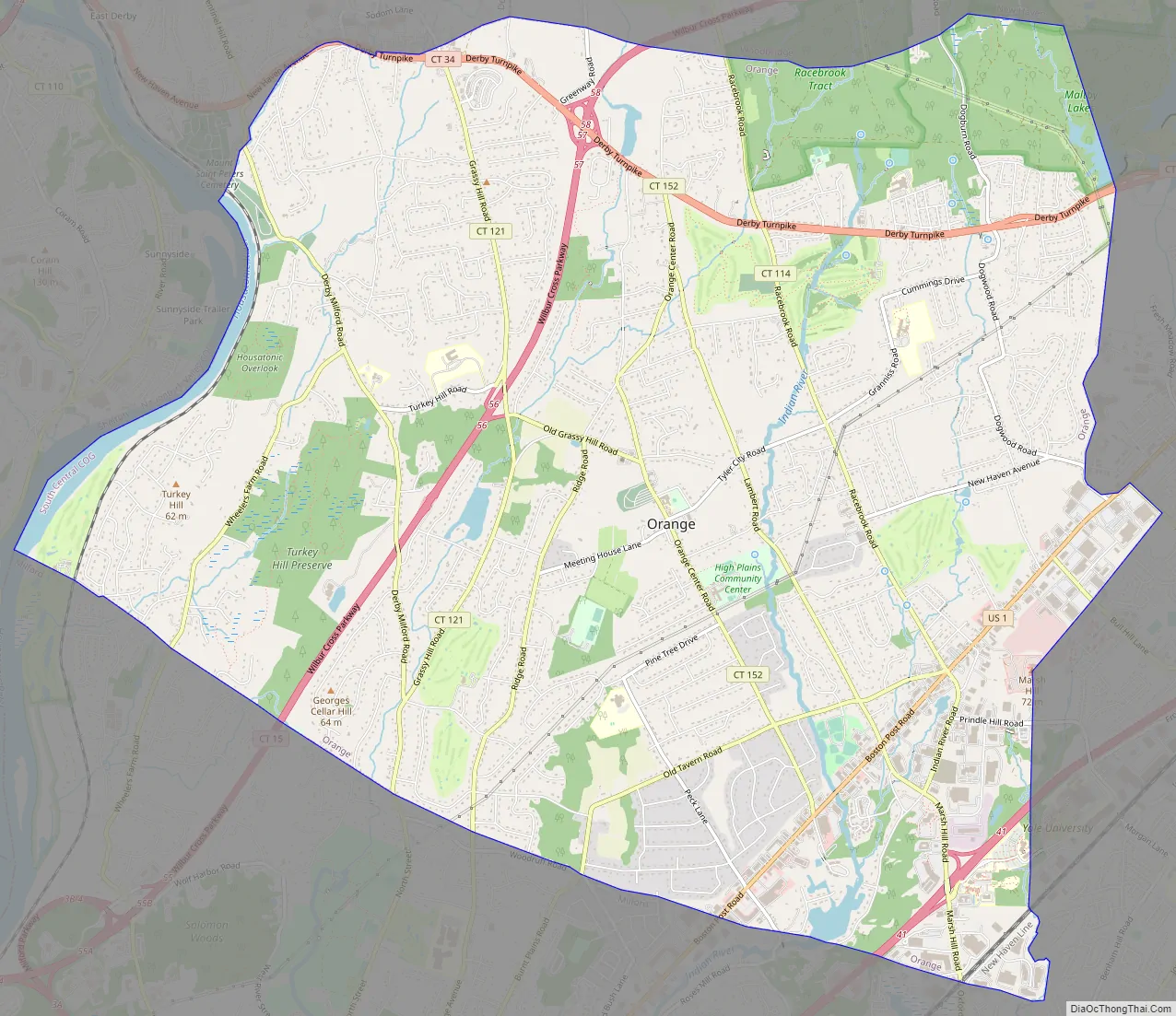
Orange Road Map
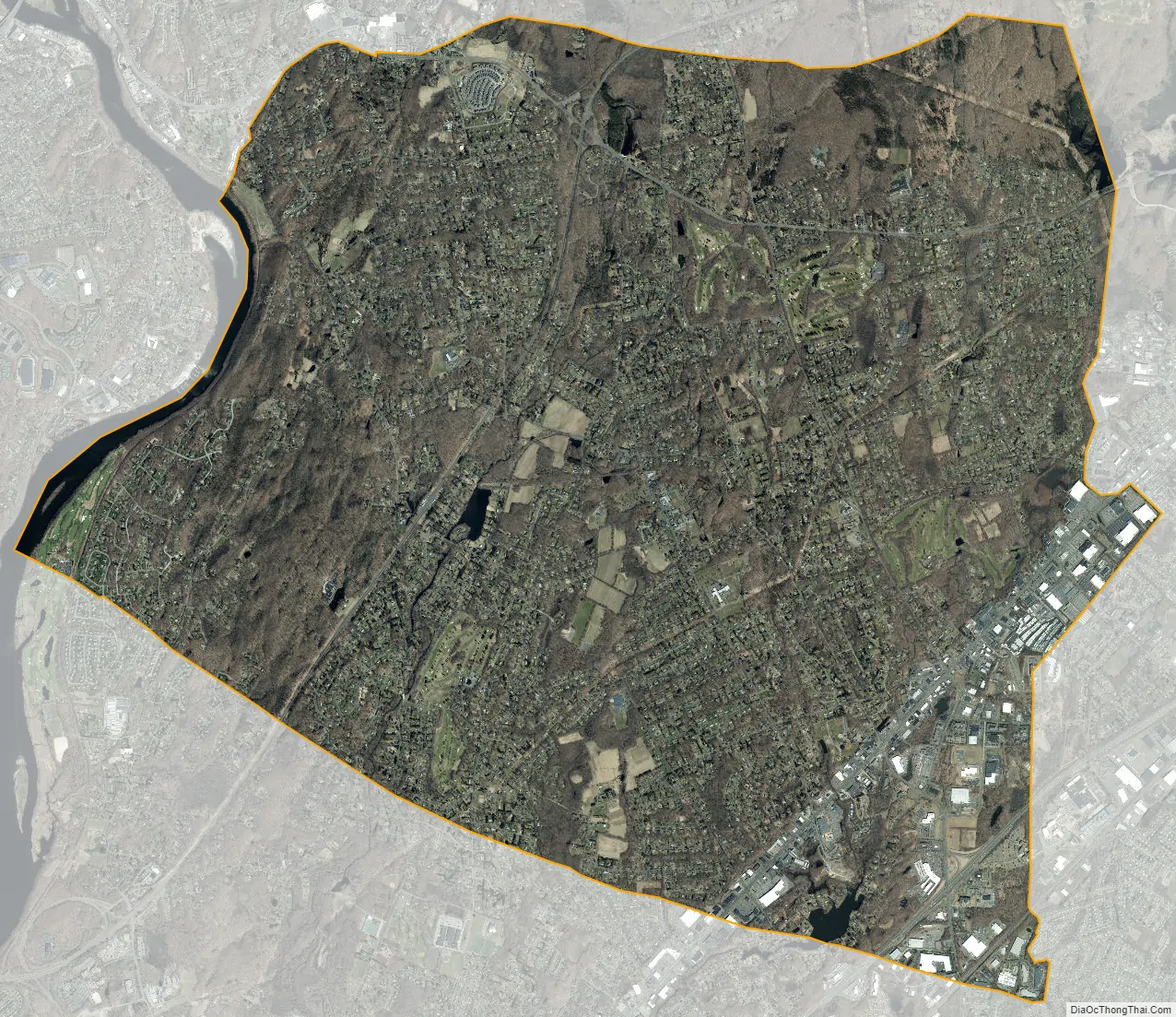
Orange city Satellite Map
Geography
According to the United States Census Bureau, the town has a total area of 17.4 square miles (45.1 km), of which 17.2 square miles (44.5 km) is land and 0.2 square miles (0.6 km), or 1.38%, is water. It is bordered on the south by Milford, on the east by West Haven, on the north by New Haven, Woodbridge and Derby and on the west by the Housatonic River and Shelton. The town limits include Wooster Island in the Housatonic River. The Wepawaug, Indian and Oyster rivers flow through the town.
See also
Map of Connecticut State and its subdivision: Map of other states:- Alabama
- Alaska
- Arizona
- Arkansas
- California
- Colorado
- Connecticut
- Delaware
- District of Columbia
- Florida
- Georgia
- Hawaii
- Idaho
- Illinois
- Indiana
- Iowa
- Kansas
- Kentucky
- Louisiana
- Maine
- Maryland
- Massachusetts
- Michigan
- Minnesota
- Mississippi
- Missouri
- Montana
- Nebraska
- Nevada
- New Hampshire
- New Jersey
- New Mexico
- New York
- North Carolina
- North Dakota
- Ohio
- Oklahoma
- Oregon
- Pennsylvania
- Rhode Island
- South Carolina
- South Dakota
- Tennessee
- Texas
- Utah
- Vermont
- Virginia
- Washington
- West Virginia
- Wisconsin
- Wyoming