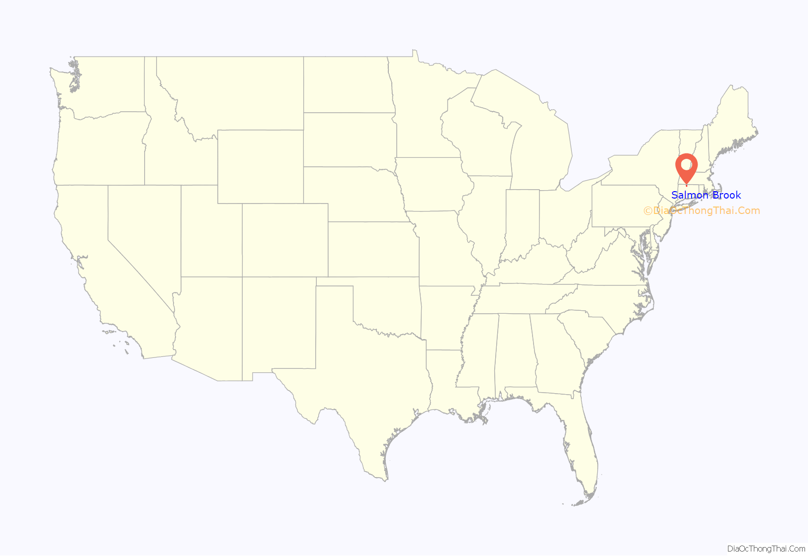
Salmon Brook is the name of a census-designated place (CDP) corresponding to the village of Granby, the primary settlement of the town of Granby, Connecticut, in Hartford County. The population of the CDP was 2,324 as of the 2010 census.
| Name: | Salmon Brook CDP |
|---|---|
| LSAD Code: | 57 |
| LSAD Description: | CDP (suffix) |
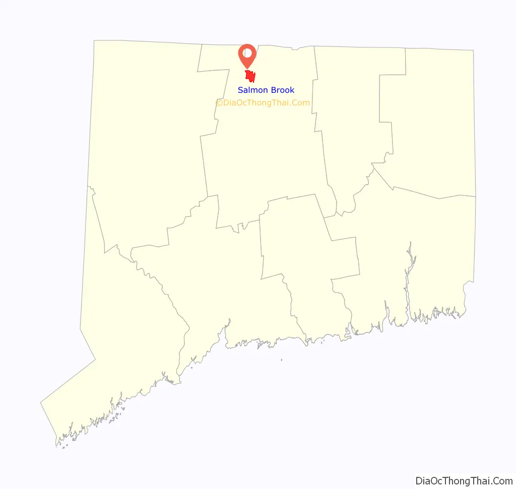
| State: | Connecticut |
| County: | Hartford County |
| Elevation: | 215 ft (66 m) |
| Total Area: | 3.0 sq mi (7.8 km²) |
| Land Area: | 3.0 sq mi (7.8 km²) |
| Water Area: | 0 sq mi (0 km²) |
| Total Population: | 2,324 |
| Population Density: | 770/sq mi (300/km²) |
| ZIP code: | 06035 |
| Area code: | 860 |
| FIPS code: | 0966455 |
| GNISfeature ID: | 2377858 |
Online Interactive Map
Click on ![]() to view map in "full screen" mode.
to view map in "full screen" mode.
Salmon Brook location map. Where is Salmon Brook CDP?
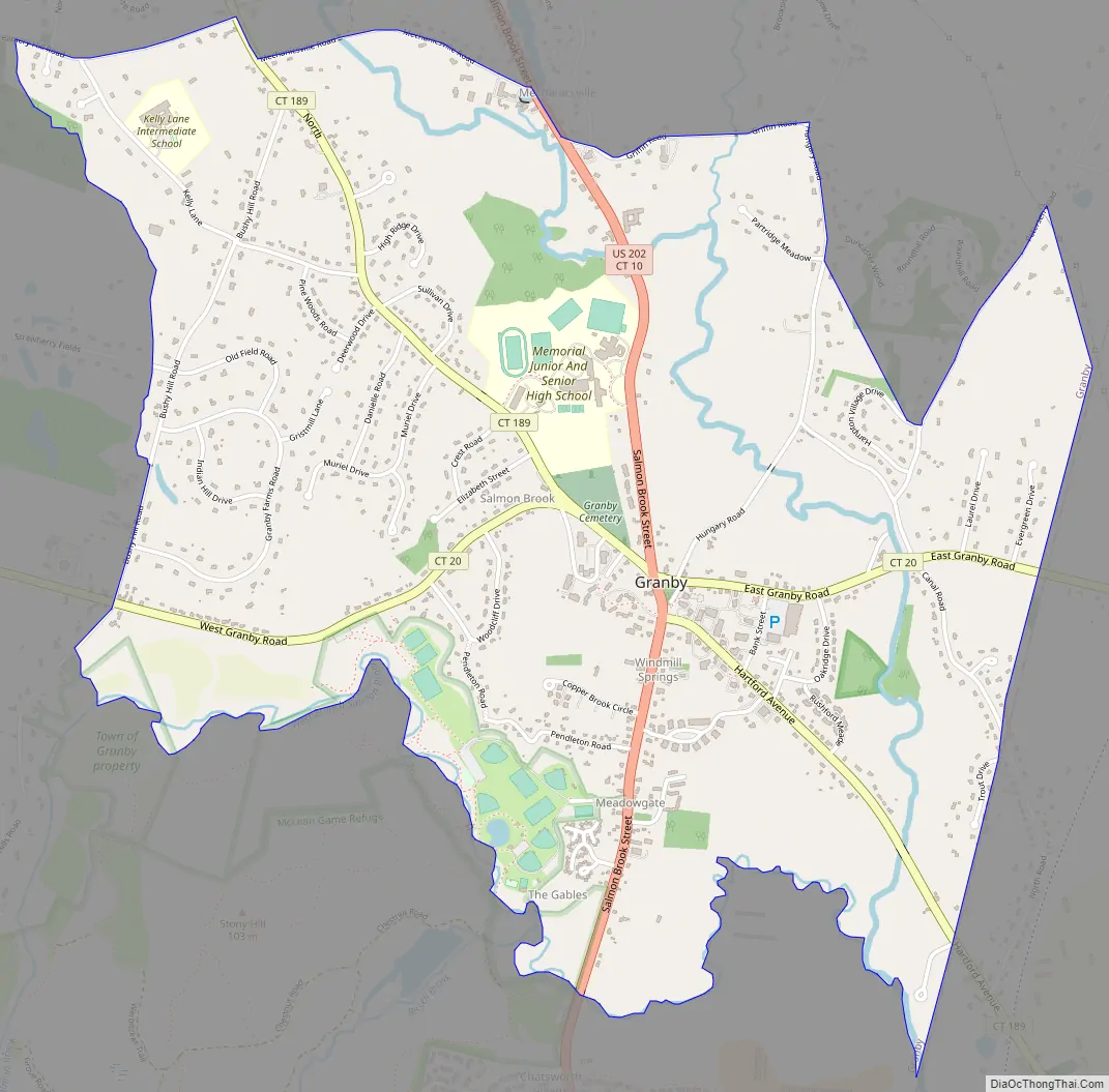
Salmon Brook Road Map
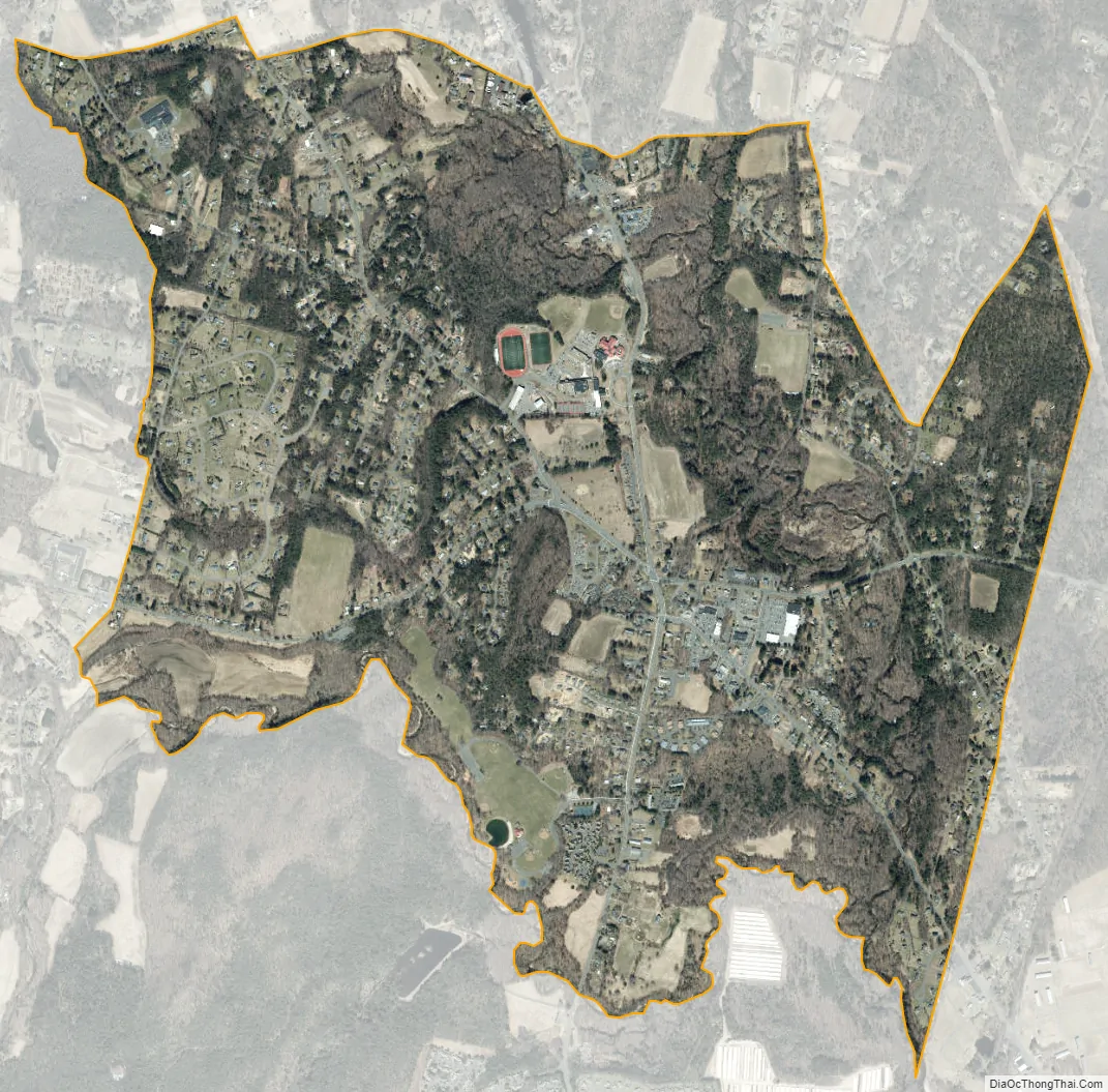
Salmon Brook city Satellite Map
Geography
Salmon Brook is a stream that flows to the east of Granby village, leading south to the Farmington River. The West Branch of Salmon Brook flows to the south of the village, which is located primarily on a flat terrace 50 feet (15 m) above the level of the brook valleys. According to the United States Census Bureau, the CDP has a total area of 3.0 square miles (7.8 km), all of which is land.
The village is located at the intersection of several major roads. U.S. Route 202 and Connecticut Route 10 pass north–south through the village, leading north to Westfield, Massachusetts, and south to Simsbury. Connecticut Route 20 passes east–west through the village, leading east to Bradley International Airport and Windsor Locks and west towards Winsted. Connecticut Route 189 leads northwest from Granby/Salmon Brook to Granville, Massachusetts, and southeast via Tariffville and Bloomfield to Hartford. All of the highways converge at the Granby Green in the center of the village.
See also
Map of Connecticut State and its subdivision: Map of other states:- Alabama
- Alaska
- Arizona
- Arkansas
- California
- Colorado
- Connecticut
- Delaware
- District of Columbia
- Florida
- Georgia
- Hawaii
- Idaho
- Illinois
- Indiana
- Iowa
- Kansas
- Kentucky
- Louisiana
- Maine
- Maryland
- Massachusetts
- Michigan
- Minnesota
- Mississippi
- Missouri
- Montana
- Nebraska
- Nevada
- New Hampshire
- New Jersey
- New Mexico
- New York
- North Carolina
- North Dakota
- Ohio
- Oklahoma
- Oregon
- Pennsylvania
- Rhode Island
- South Carolina
- South Dakota
- Tennessee
- Texas
- Utah
- Vermont
- Virginia
- Washington
- West Virginia
- Wisconsin
- Wyoming


