Terryville is a census-designated place (CDP) in Litchfield County, Connecticut, United States, and is the largest village within the town of Plymouth. In the 2010 census, Terryville had a population of 5,387, out of 12,243 in the entire town of Plymouth. The village is named for Eli Terry Jr., the son of the well-known clockmaker Eli Terry Sr. Terryville is also home to the Lock Museum of America. There is a water wheel located in downtown Terryville that is dedicated to the son of Eli Terry Sr.
| Name: | Terryville CDP |
|---|---|
| LSAD Code: | 57 |
| LSAD Description: | CDP (suffix) |
| State: | Connecticut |
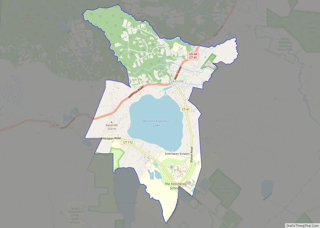
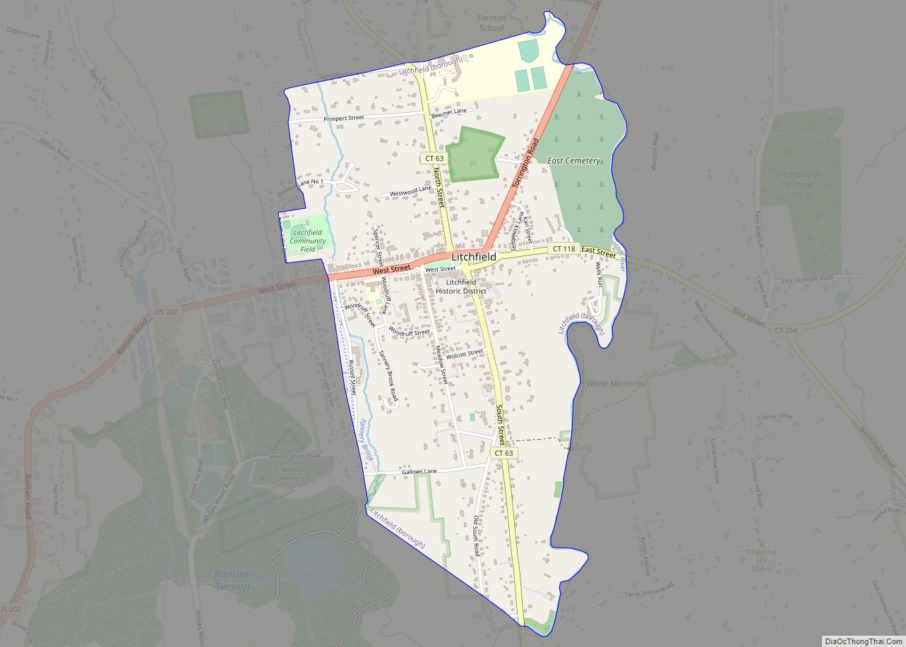
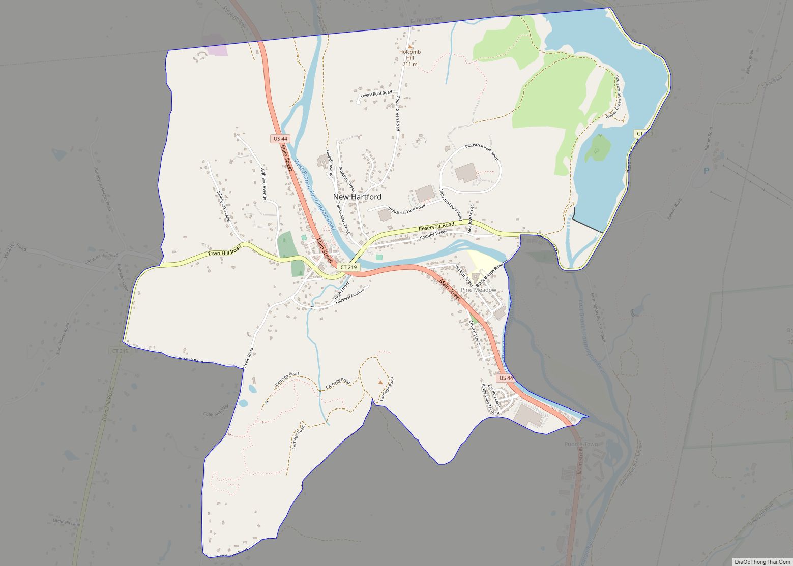
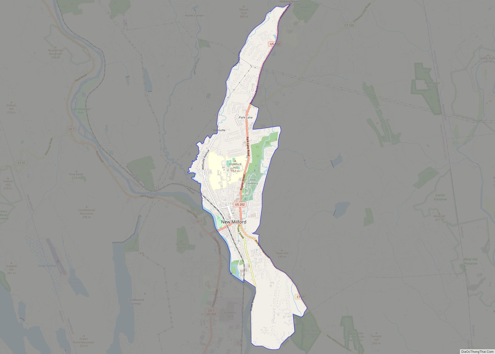
| County: | Litchfield County |
| Elevation: | 187 m (615 ft) |
| Total Area: | 7.22 km² (2.79 sq mi) |
| Land Area: | 7.15 km² (2.76 sq mi) |
| Water Area: | 0.07 km² (0.03 sq mi) |
| Total Population: | 5,387 |
| Population Density: | 753.5/km² (1,952/sq mi) |
| ZIP code: | 06786 |
| Area code: | 860 |
| FIPS code: | 0975240 |
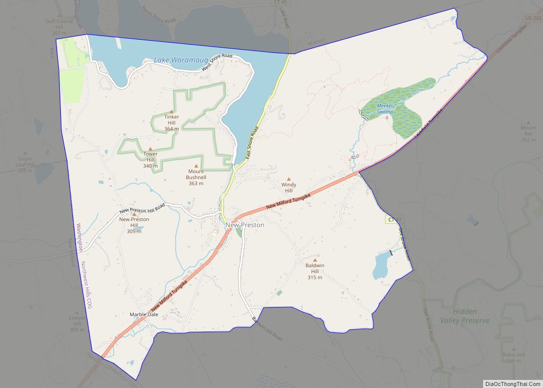
Online Interactive Map
Click on ![]() to view map in "full screen" mode.
to view map in "full screen" mode.
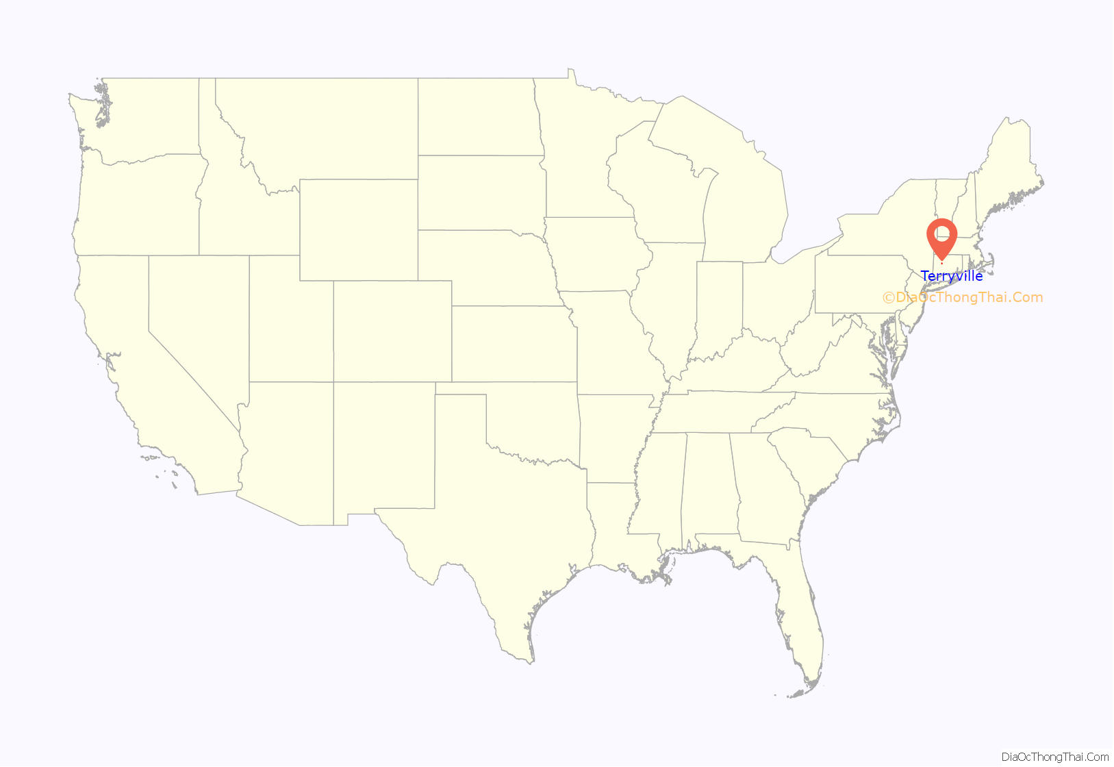
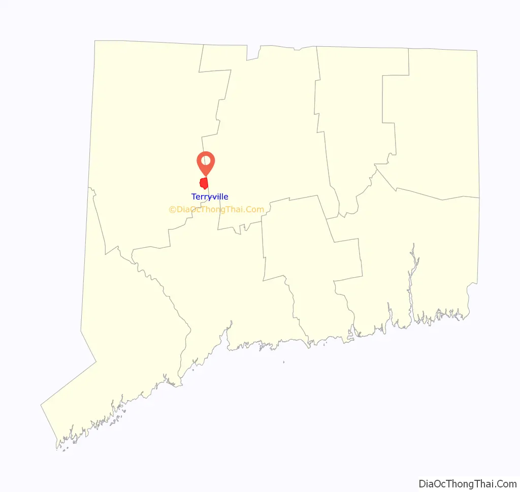
Terryville location map. Where is Terryville CDP?
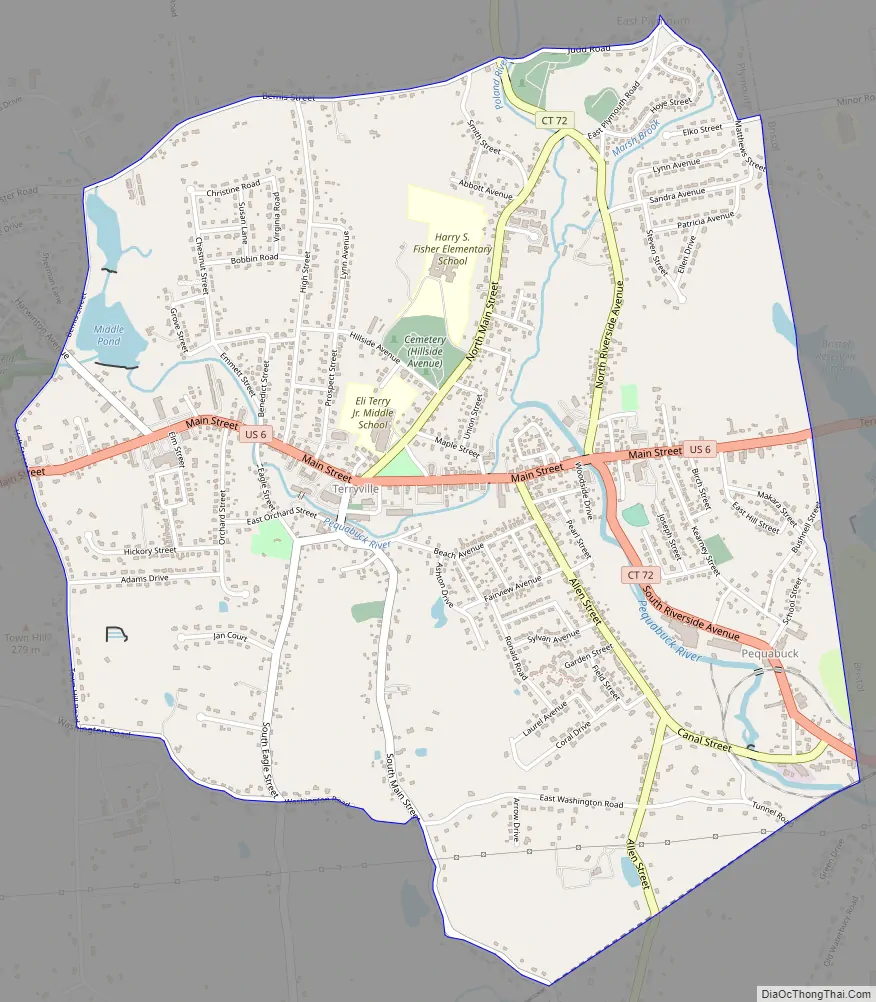
Terryville Road Map
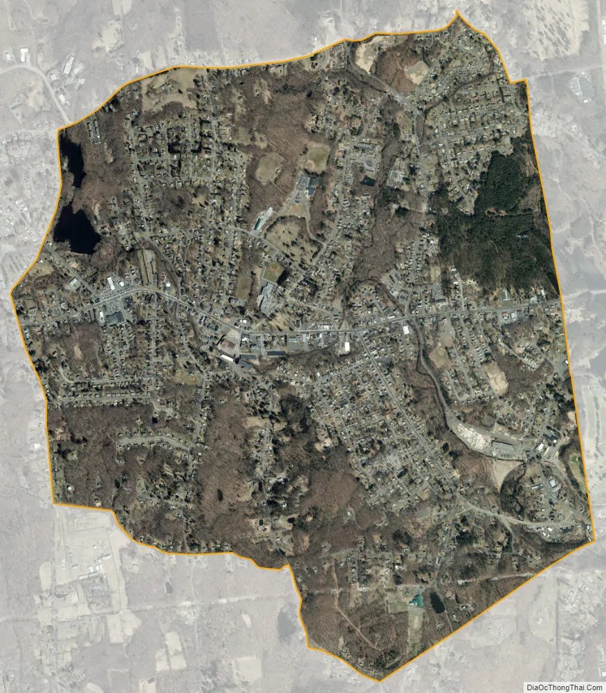
Terryville city Satellite Map
Geography
Terryville is in the eastern part of the town of Plymouth and the southeast corner of Litchfield County. The community is bordered to the east by the city of Bristol in Hartford County, and it is 10 miles (16 km) north of Waterbury in New Haven County. U.S. Route 6 passes through the center of Terryville, leading east into Bristol and west into Thomaston.
According to the United States Census Bureau, the Terryville CDP has a total area of 2.8 square miles (7.2 km), of which 0.03 square miles (0.07 km), or 0.95%, are water. The Pequabuck River, a tributary of the Farmington River, flows from west to east through the center of town.
See also
Map of Connecticut State and its subdivision: Map of other states:- Alabama
- Alaska
- Arizona
- Arkansas
- California
- Colorado
- Connecticut
- Delaware
- District of Columbia
- Florida
- Georgia
- Hawaii
- Idaho
- Illinois
- Indiana
- Iowa
- Kansas
- Kentucky
- Louisiana
- Maine
- Maryland
- Massachusetts
- Michigan
- Minnesota
- Mississippi
- Missouri
- Montana
- Nebraska
- Nevada
- New Hampshire
- New Jersey
- New Mexico
- New York
- North Carolina
- North Dakota
- Ohio
- Oklahoma
- Oregon
- Pennsylvania
- Rhode Island
- South Carolina
- South Dakota
- Tennessee
- Texas
- Utah
- Vermont
- Virginia
- Washington
- West Virginia
- Wisconsin
- Wyoming