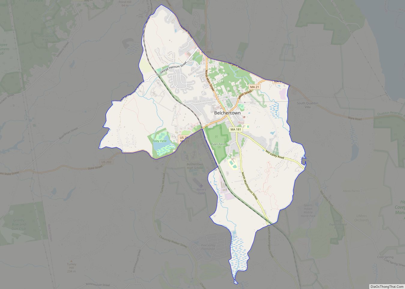
Belchertown is a census-designated place (CDP) comprising the central village in the town of Belchertown in Hampshire County, Massachusetts, United States. The population was 2,899 at the 2010 census, out of a total town population of 14,649. It is part of the Springfield, Massachusetts Metropolitan Statistical Area.
| Name: | Belchertown CDP |
|---|---|
| LSAD Code: | 57 |
| LSAD Description: | CDP (suffix) |
| State: | Massachusetts |
| County: | Hampshire County |
| Elevation: | 607 ft (185 m) |
| Total Area: | 5.03 sq mi (13.04 km²) |
| Land Area: | 5.03 sq mi (13.03 km²) |
| Water Area: | 0.00 sq mi (0.01 km²) |
| Total Population: | 3,129 |
| Population Density: | 621.94/sq mi (240.13/km²) |
| ZIP code: | 01007 |
| Area code: | 413 |
| FIPS code: | 2504790 |
| GNISfeature ID: | 0609121 |
Online Interactive Map
Click on ![]() to view map in "full screen" mode.
to view map in "full screen" mode.
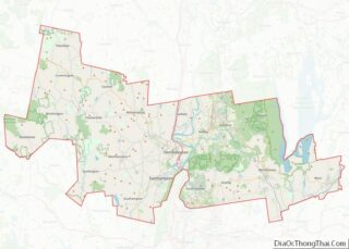
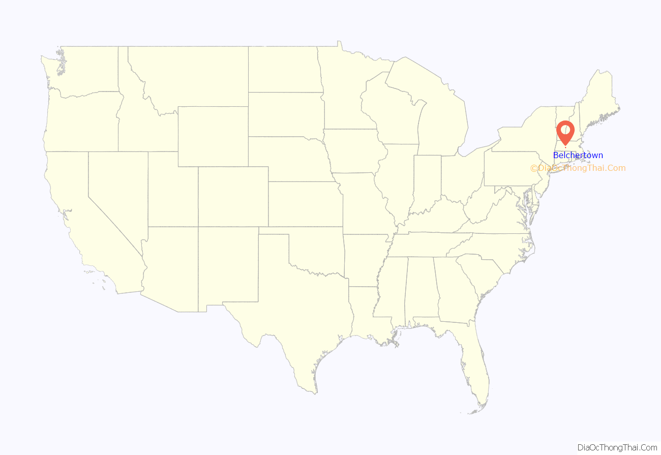
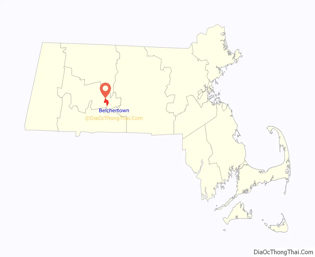
Belchertown location map. Where is Belchertown CDP?
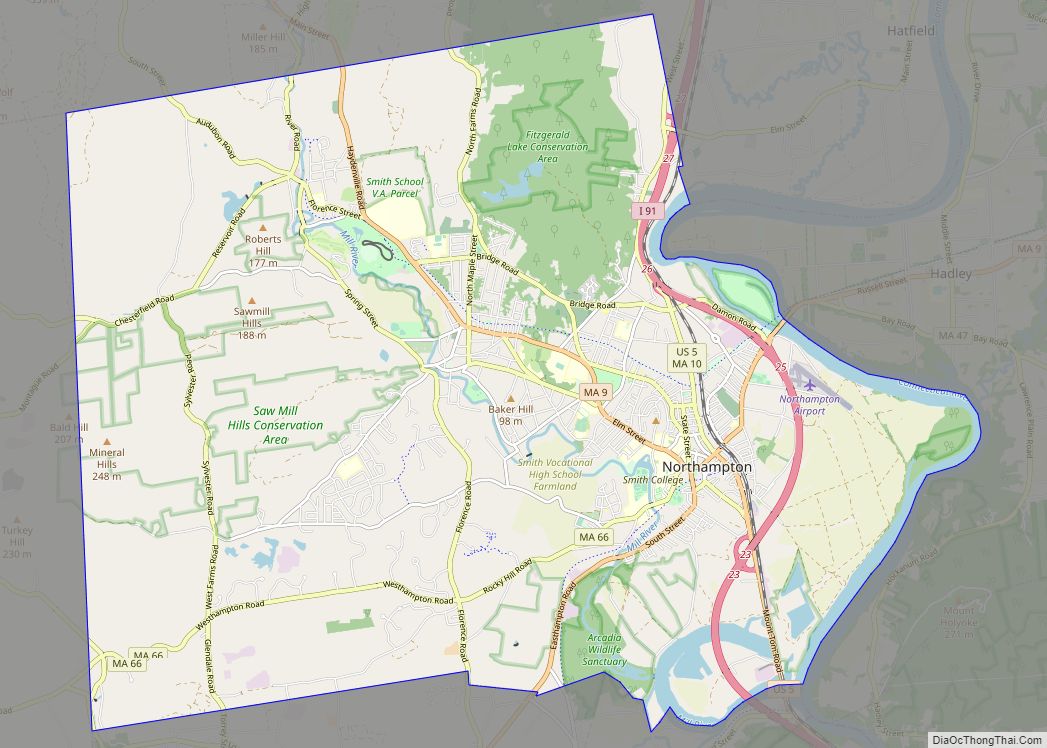
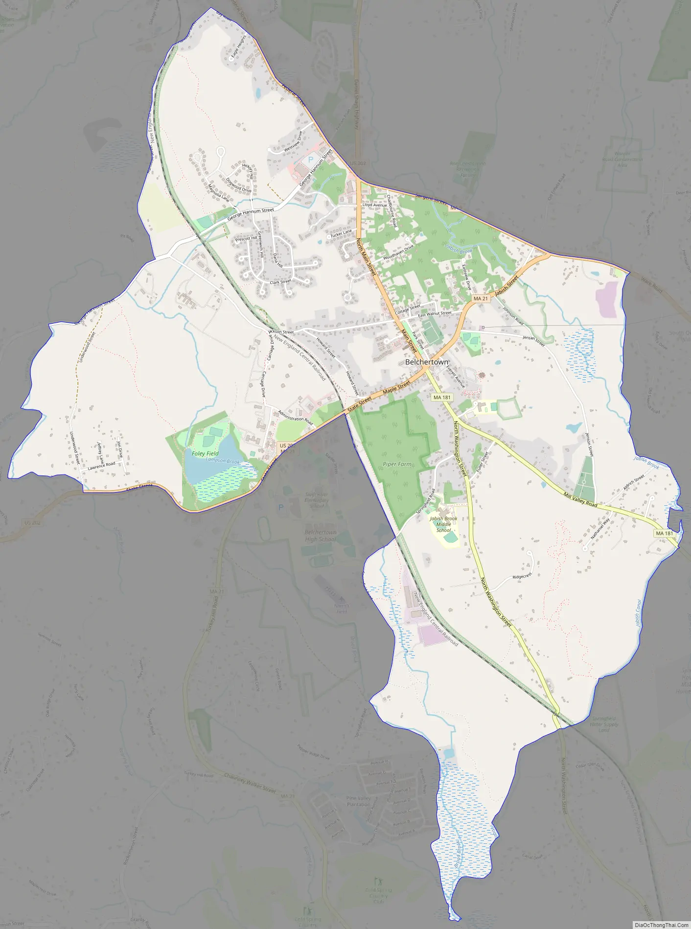
Belchertown Road Map
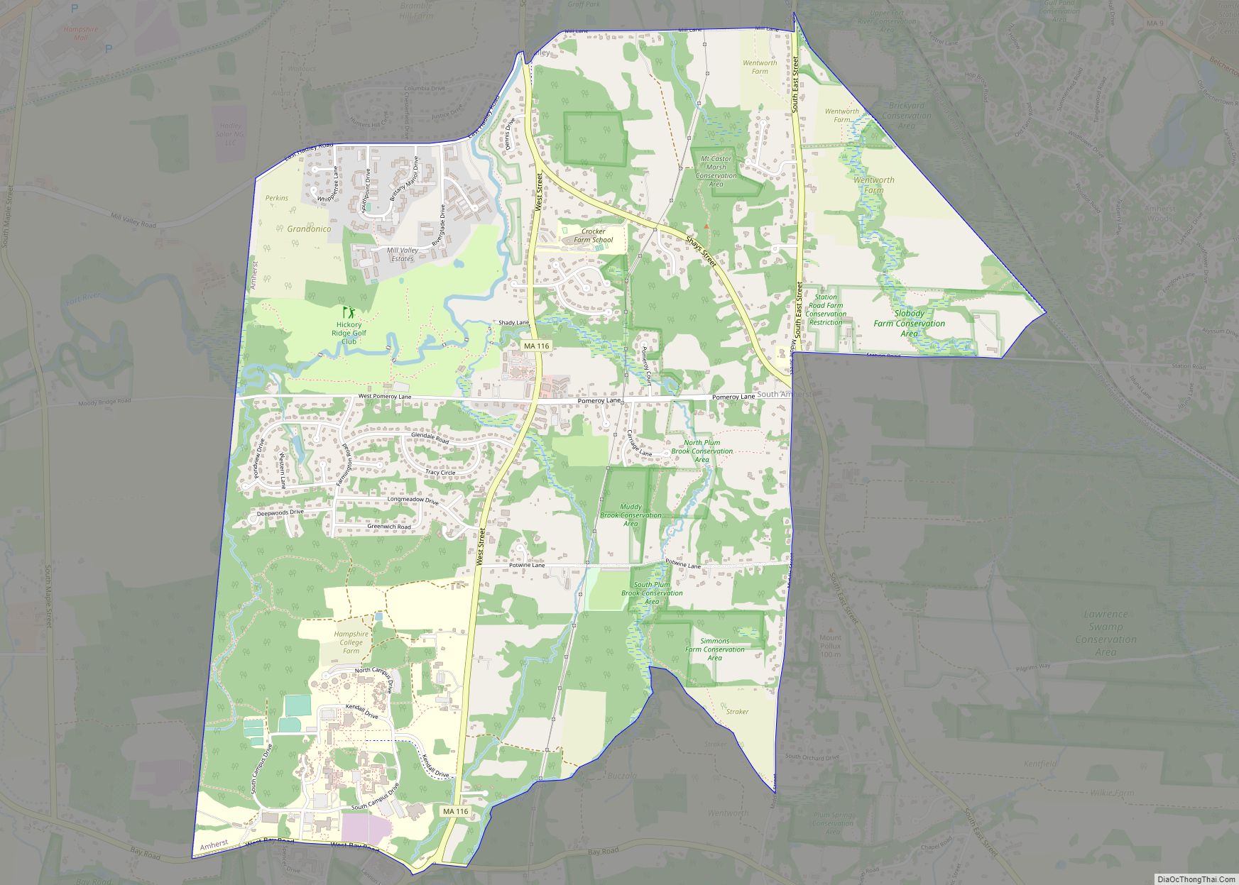
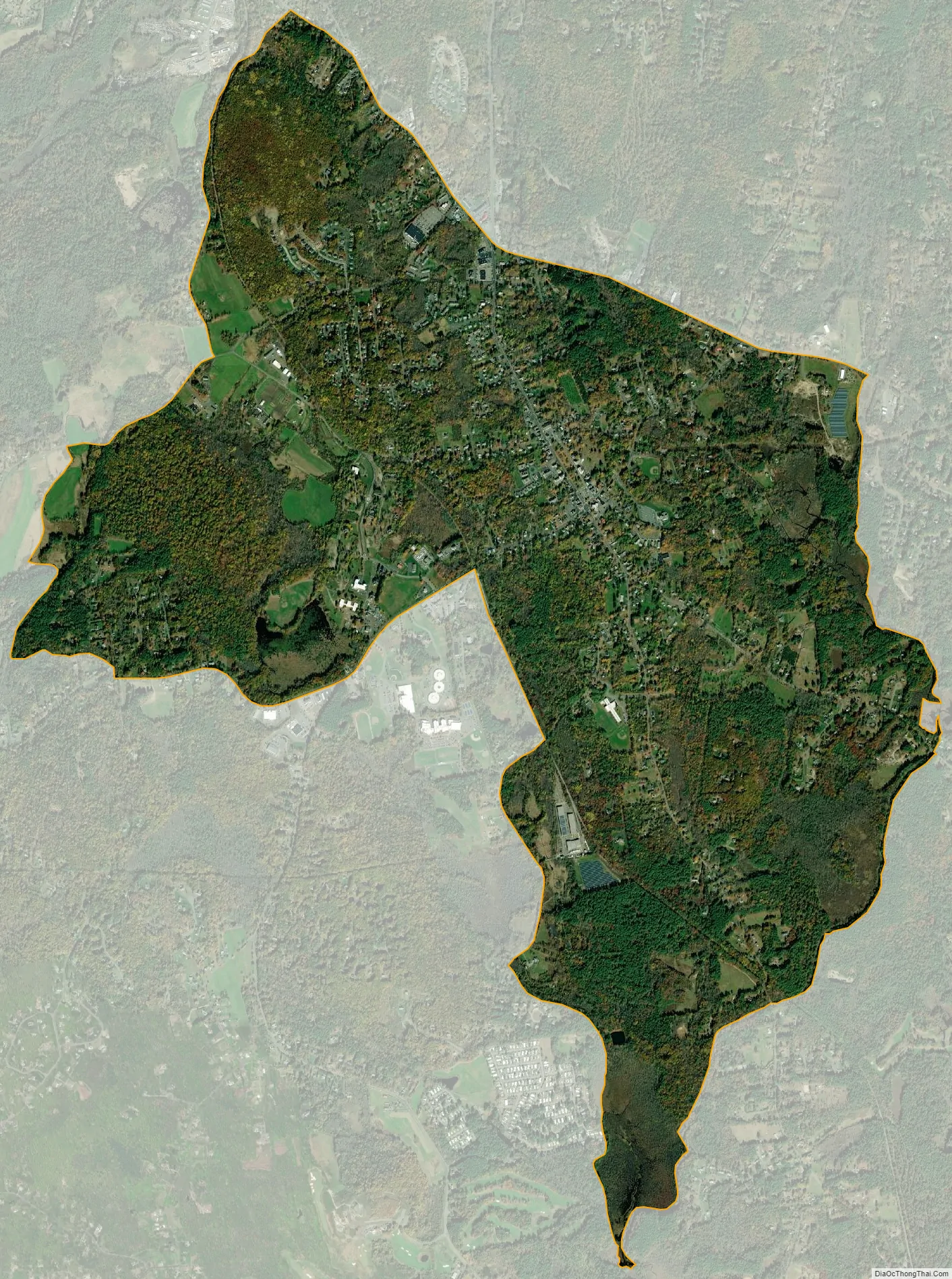
Belchertown city Satellite Map
Geography
The Belchertown CDP is located in the center of the town of Belchertown at 42°16′42″N 72°24′6″W / 42.27833°N 72.40167°W / 42.27833; -72.40167 (42.278451, -72.401804). It is bordered to the north by Bay Road and Massachusetts Route 9 (Federal Street and Sargent Street), to the east by Jabish Brook and Jabish Canal, to the west by Broad Brook and Old Springfield Road, to the south by State Street (U.S. Route 202), and to the west by Weston Brook, Lampson Brook, George Hannum Street, and Hamilton Street.
Route 9 leads east 10 miles (16 km) to Ware and northwest 9 miles (14 km) to Amherst, while US 202 leads north 26 miles (42 km) to Athol and southwest 13 miles (21 km) to Holyoke. Massachusetts Route 181 leaves US 202 in the center of town, leading south 10 miles (16 km) to Palmer. Massachusetts Route 21 leaves US 202 at the western edge of the CDP, leading southwest 10 miles to Ludlow. Springfield, the largest city in the region, is 18 miles (29 km) southwest of Belchertown.
According to the United States Census Bureau, the CDP has a total area of 5.0 square miles (13.0 km), of which 1.4 acres (5,582 m), or 0.04%, are water.
See also
Map of Massachusetts State and its subdivision: Map of other states:- Alabama
- Alaska
- Arizona
- Arkansas
- California
- Colorado
- Connecticut
- Delaware
- District of Columbia
- Florida
- Georgia
- Hawaii
- Idaho
- Illinois
- Indiana
- Iowa
- Kansas
- Kentucky
- Louisiana
- Maine
- Maryland
- Massachusetts
- Michigan
- Minnesota
- Mississippi
- Missouri
- Montana
- Nebraska
- Nevada
- New Hampshire
- New Jersey
- New Mexico
- New York
- North Carolina
- North Dakota
- Ohio
- Oklahoma
- Oregon
- Pennsylvania
- Rhode Island
- South Carolina
- South Dakota
- Tennessee
- Texas
- Utah
- Vermont
- Virginia
- Washington
- West Virginia
- Wisconsin
- Wyoming