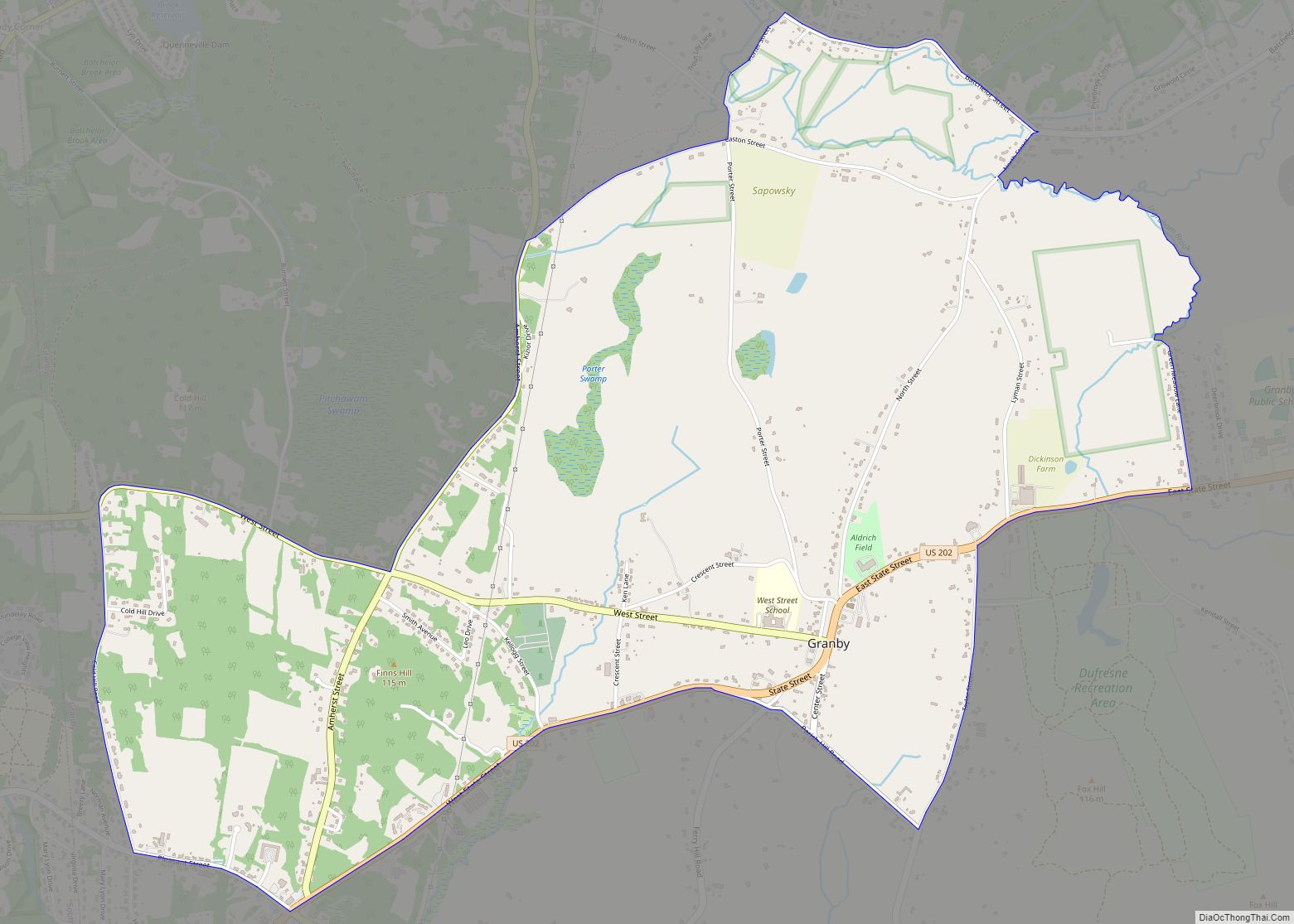
Granby is a census-designated place (CDP) comprising the main village in the town of Granby in Hampshire County, Massachusetts, United States. The population of the CDP was 1,368 at the 2010 census, out of a total town population of 6,240. It is part of the Springfield, Massachusetts Metropolitan Statistical Area.
| Name: | Granby CDP |
|---|---|
| LSAD Code: | 57 |
| LSAD Description: | CDP (suffix) |
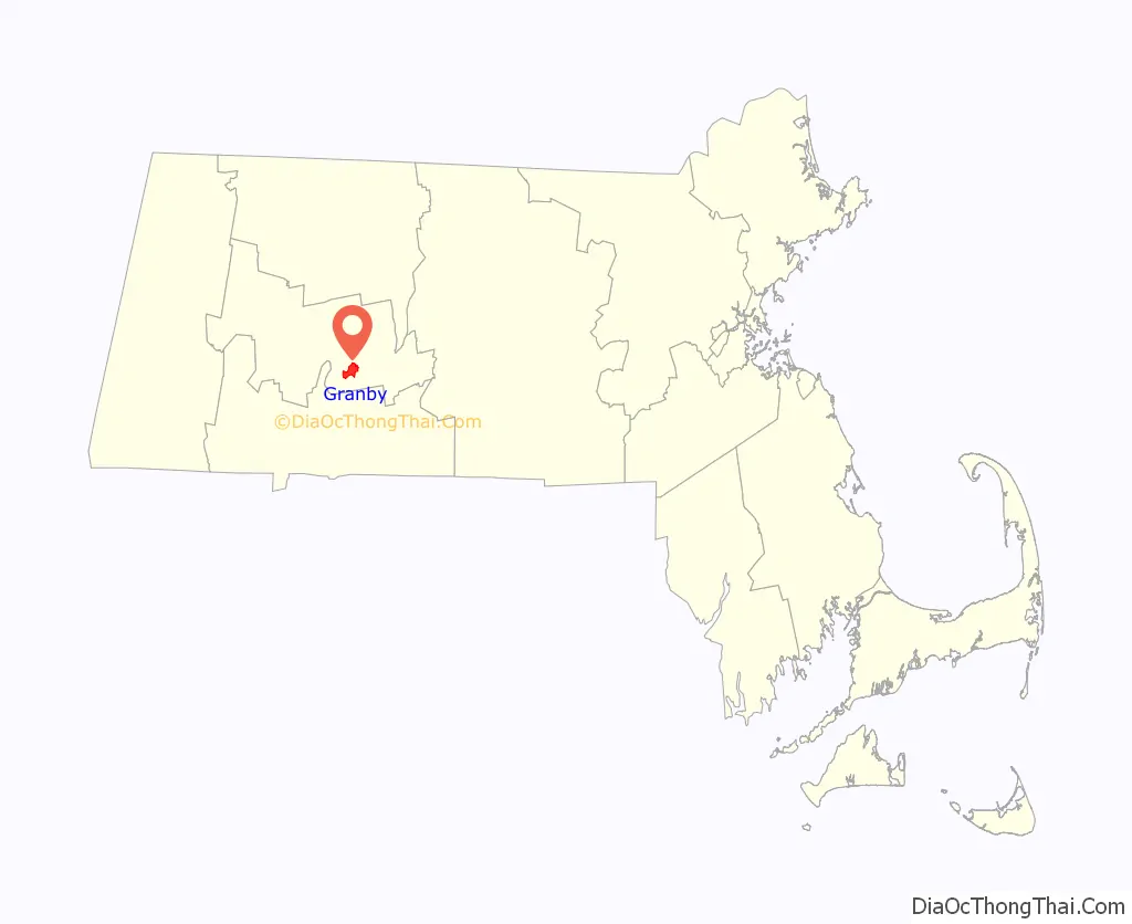
| State: | Massachusetts |
| County: | Hampshire County |
| Elevation: | 312 ft (95 m) |
| Total Area: | 3.48 sq mi (9.01 km²) |
| Land Area: | 3.48 sq mi (9.00 km²) |
| Water Area: | 0.00 sq mi (0.01 km²) |
| Total Population: | 1,306 |
| Population Density: | 375.83/sq mi (145.10/km²) |
| ZIP code: | 01033 |
| Area code: | 413 |
| FIPS code: | 2526500 |
| GNISfeature ID: | 0609013 |
Online Interactive Map
Click on ![]() to view map in "full screen" mode.
to view map in "full screen" mode.
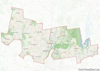
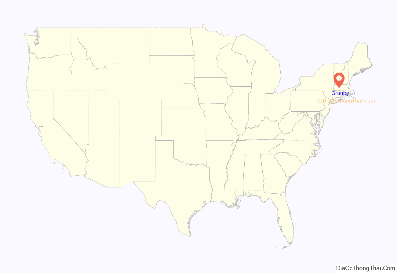
Granby location map. Where is Granby CDP?
Granby Road Map
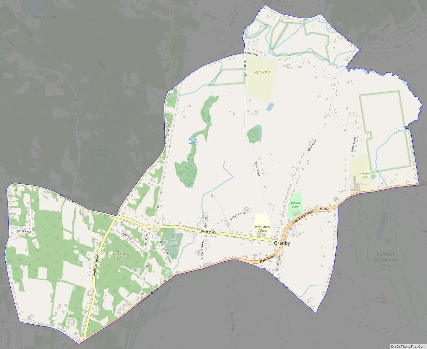
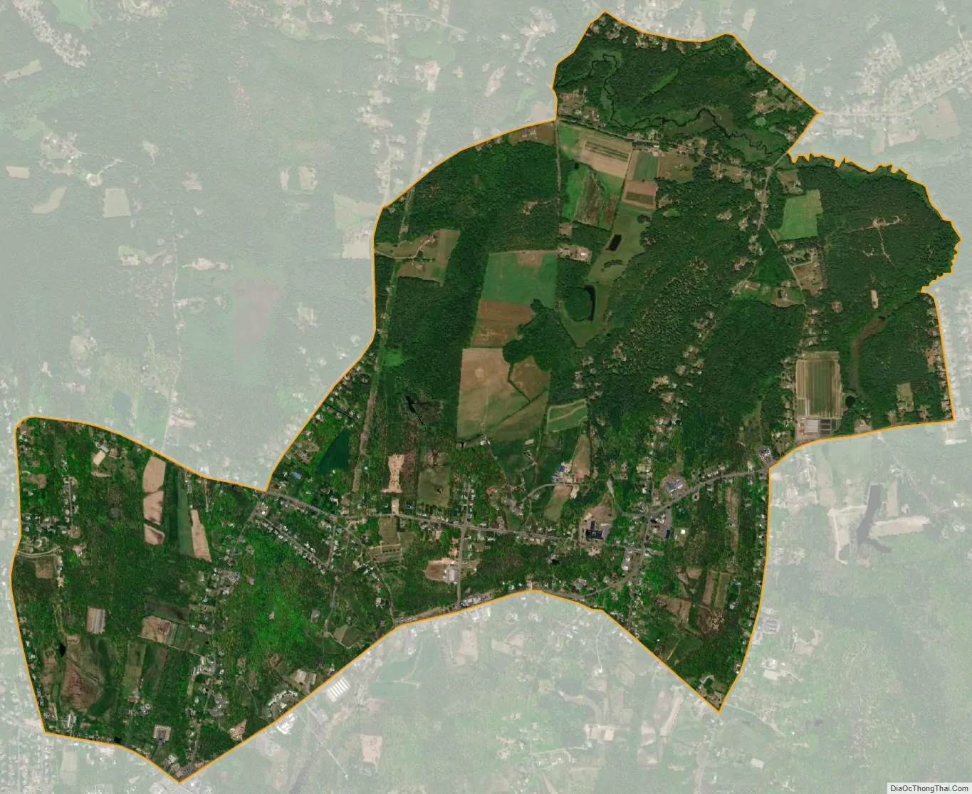
Granby city Satellite Map
Geography
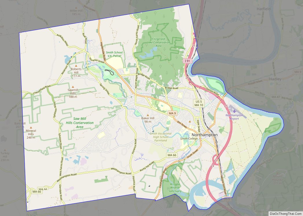
The Granby CDP is located in the west-central part of the town of Granby at 42°15′29″N 72°31′18″W / 42.25806°N 72.52167°W / 42.25806; -72.52167 (42.258128, -72.52186). It includes the village of Granby plus rural land to the west, north and east. U.S. Route 202 (State Street) forms much of the southern edge of the CDP, except around the village center, where the border extends to the south along Center Street and Taylor Street. Elsewhere, the CDP extends east to Greenmeadow Lane and Ingraham Brook; north to Batchelor Brook, Batchelor Street, and Easton Street; and west to Amherst Street and Cold Hill Road.
US 202 leads east 6 miles (10 km) to Belchertown and southwest 7 miles (11 km) to Holyoke. South Hadley is 3 miles (5 km) to the west, via West Street, and downtown Springfield is 13 miles (21 km) to the south.
According to the United States Census Bureau, the Granby CDP has a total area of 23 square kilometres (9.0 sq mi), of which 0.004 square miles (0.01 km), or 0.11%, are water. The village is drained to the north by Batchelor Brook, a west-flowing tributary of the Connecticut River, and to the south by tributaries of Stony Brook, which also flows west to the Connecticut.
See also
Map of Massachusetts State and its subdivision: Map of other states:- Alabama
- Alaska
- Arizona
- Arkansas
- California
- Colorado
- Connecticut
- Delaware
- District of Columbia
- Florida
- Georgia
- Hawaii
- Idaho
- Illinois
- Indiana
- Iowa
- Kansas
- Kentucky
- Louisiana
- Maine
- Maryland
- Massachusetts
- Michigan
- Minnesota
- Mississippi
- Missouri
- Montana
- Nebraska
- Nevada
- New Hampshire
- New Jersey
- New Mexico
- New York
- North Carolina
- North Dakota
- Ohio
- Oklahoma
- Oregon
- Pennsylvania
- Rhode Island
- South Carolina
- South Dakota
- Tennessee
- Texas
- Utah
- Vermont
- Virginia
- Washington
- West Virginia
- Wisconsin
- Wyoming