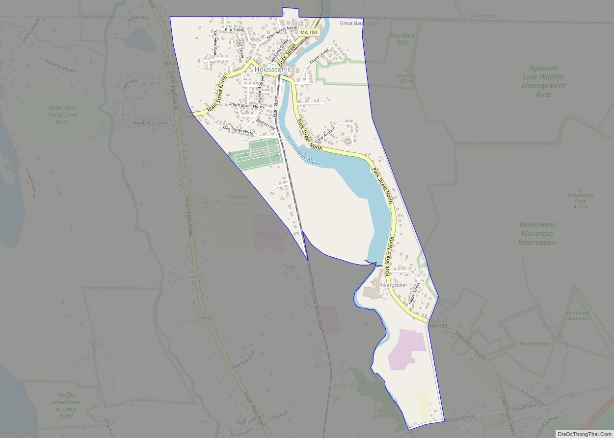
Great Barrington is a census-designated place (CDP) located in the town of Great Barrington in Berkshire County, Massachusetts, United States. The population was 2,231 at the 2010 census, out of 7,104 in the entire town of Great Barrington.
| Name: | Great Barrington CDP |
|---|---|
| LSAD Code: | 57 |
| LSAD Description: | CDP (suffix) |
| State: | Massachusetts |
| County: | Berkshire County |
| Elevation: | 705 ft (215 m) |
| Total Area: | 1.49 sq mi (3.85 km²) |
| Land Area: | 1.44 sq mi (3.73 km²) |
| Water Area: | 0.05 sq mi (0.12 km²) |
| Total Population: | 2,234 |
| Population Density: | 1,550.31/sq mi (598.52/km²) |
| ZIP code: | 01230 |
| Area code: | 413 |
| FIPS code: | 2526780 |
| GNISfeature ID: | 0607441 |
Online Interactive Map
Click on ![]() to view map in "full screen" mode.
to view map in "full screen" mode.
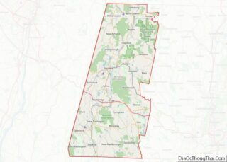
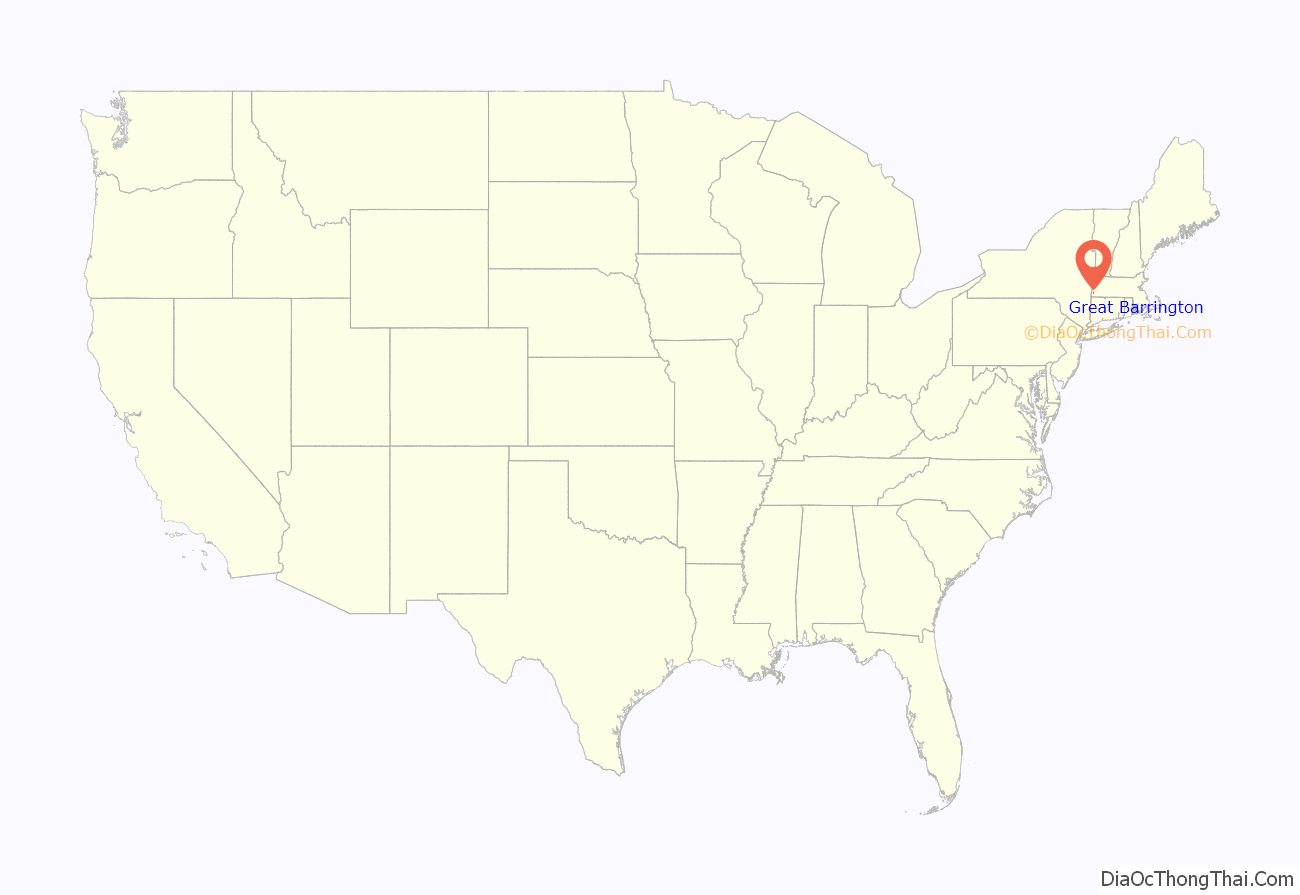
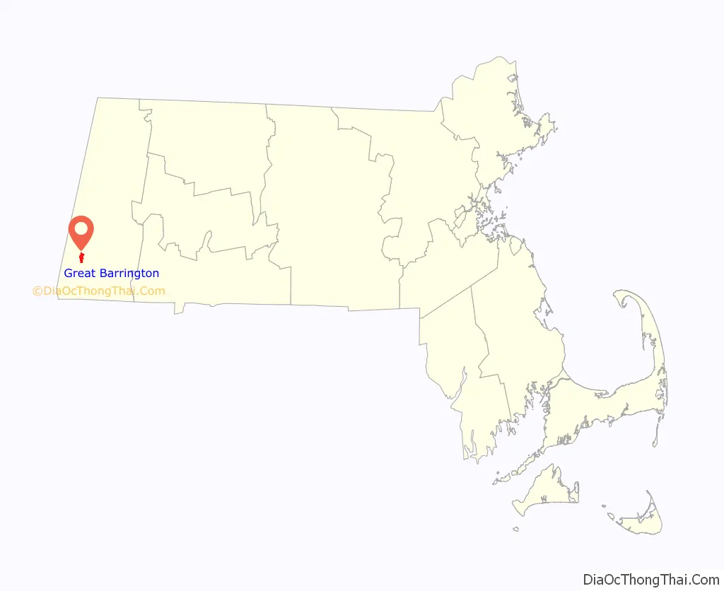
Great Barrington location map. Where is Great Barrington CDP?
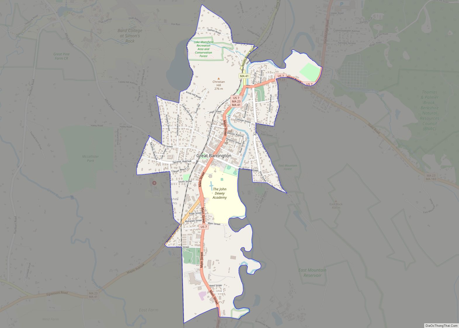
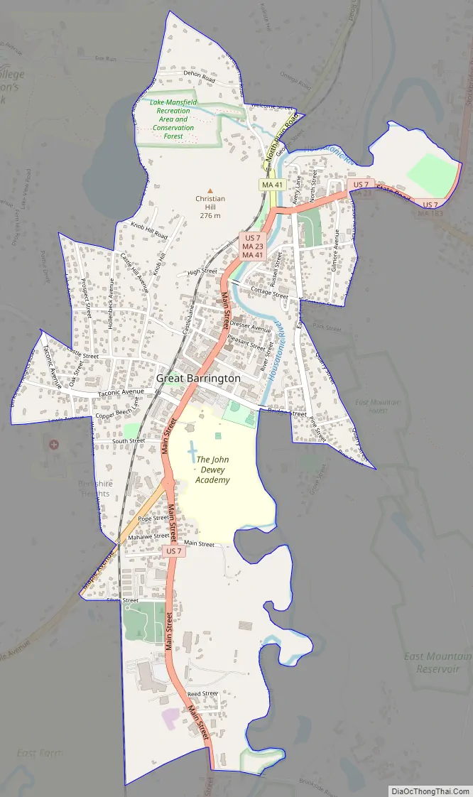
Great Barrington Road Map
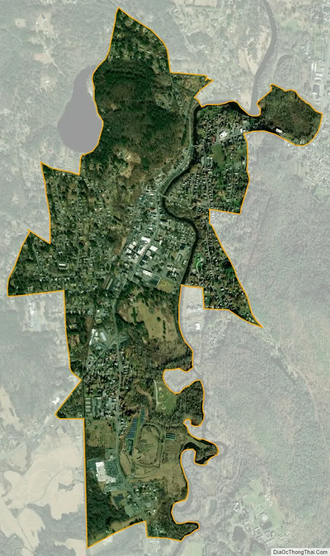
Great Barrington city Satellite Map
Geography
The Great Barrington CDP is located near the center of the town of Great Barrington at 42°11′43″N 73°21′45″W / 42.19528°N 73.36250°W / 42.19528; -73.36250 (42.19532, -73.362645), along the Housatonic River. U.S. Route 7 (Main Street) passes through the center of the CDP, leading north to Stockbridge, Lenox, and Pittsfield, and south to Sheffield then into Connecticut. Massachusetts Route 23 also passes through CDP on Main Street but leads east to Monterey, Otis, and beyond, and west to Egremont and then into New York. Massachusetts Route 41 also uses Main Street in Great Barrington and leads north to West Stockbridge and southwest through South Egremont towards Connecticut.
According to the United States Census Bureau, the Great Barrington CDP has a total area of 1.4 square miles (3.7 km), of which 1.4 square miles (3.5 km) is land and 0.039 square miles (0.1 km), or 3.30%, is water.
See also
Map of Massachusetts State and its subdivision: Map of other states:- Alabama
- Alaska
- Arizona
- Arkansas
- California
- Colorado
- Connecticut
- Delaware
- District of Columbia
- Florida
- Georgia
- Hawaii
- Idaho
- Illinois
- Indiana
- Iowa
- Kansas
- Kentucky
- Louisiana
- Maine
- Maryland
- Massachusetts
- Michigan
- Minnesota
- Mississippi
- Missouri
- Montana
- Nebraska
- Nevada
- New Hampshire
- New Jersey
- New Mexico
- New York
- North Carolina
- North Dakota
- Ohio
- Oklahoma
- Oregon
- Pennsylvania
- Rhode Island
- South Carolina
- South Dakota
- Tennessee
- Texas
- Utah
- Vermont
- Virginia
- Washington
- West Virginia
- Wisconsin
- Wyoming