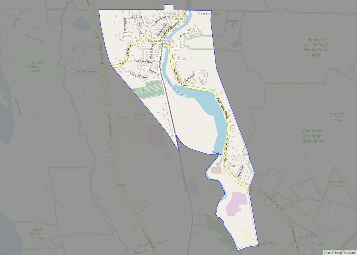
Housatonic is a census-designated place (CDP) in the town of Great Barrington in Berkshire County, Massachusetts. It is part of the Pittsfield, Massachusetts Metropolitan Statistical Area. The population was 1,109 at the 2010 census. It was named after the Housatonic River.
| Name: | Housatonic CDP |
|---|---|
| LSAD Code: | 57 |
| LSAD Description: | CDP (suffix) |
| State: | Massachusetts |
| County: | Berkshire County |
| Elevation: | 735 ft (224 m) |
| Total Area: | 0.98 sq mi (2.53 km²) |
| Land Area: | 0.89 sq mi (2.31 km²) |
| Water Area: | 0.09 sq mi (0.22 km²) |
| Total Population: | 1,083 |
| Population Density: | 1,215.49/sq mi (469.17/km²) |
| ZIP code: | 01236 |
| Area code: | 413 |
| FIPS code: | 2531295 |
| GNISfeature ID: | 0607478 |
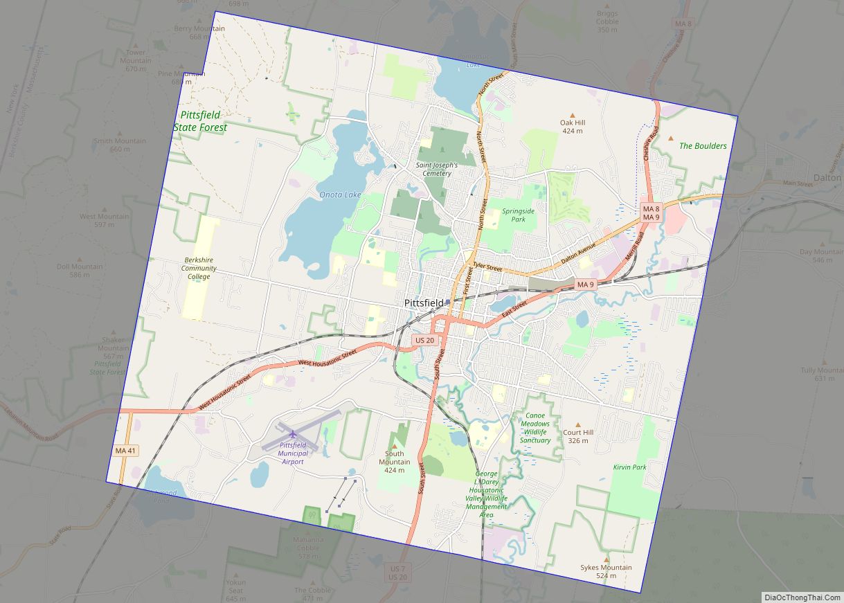
Online Interactive Map
Click on ![]() to view map in "full screen" mode.
to view map in "full screen" mode.
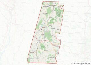
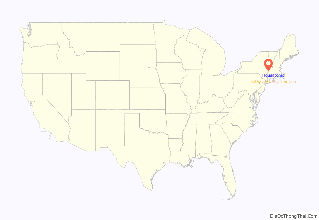
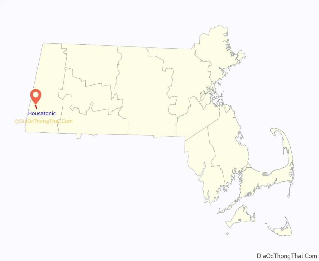
Housatonic location map. Where is Housatonic CDP?
History
The village formed in the early 1800s around textile and paper mills. At its peak, Monument Mills, a textile manufacturer, occupied five factory buildings totaling 420,000 square feet (39,000 m) and had 500 employees. Mill workers, many of whom were immigrants, were housed in tenements.
Monument Mills closed in 1956. After undergoing a period of decline, the village has been revitalized by the presence of art galleries and related commercial activity. The town’s Ramsdell Public Library is located in Housatonic. Monument Mills and Rising Paper Mill are listed on the National Register of Historic Places.
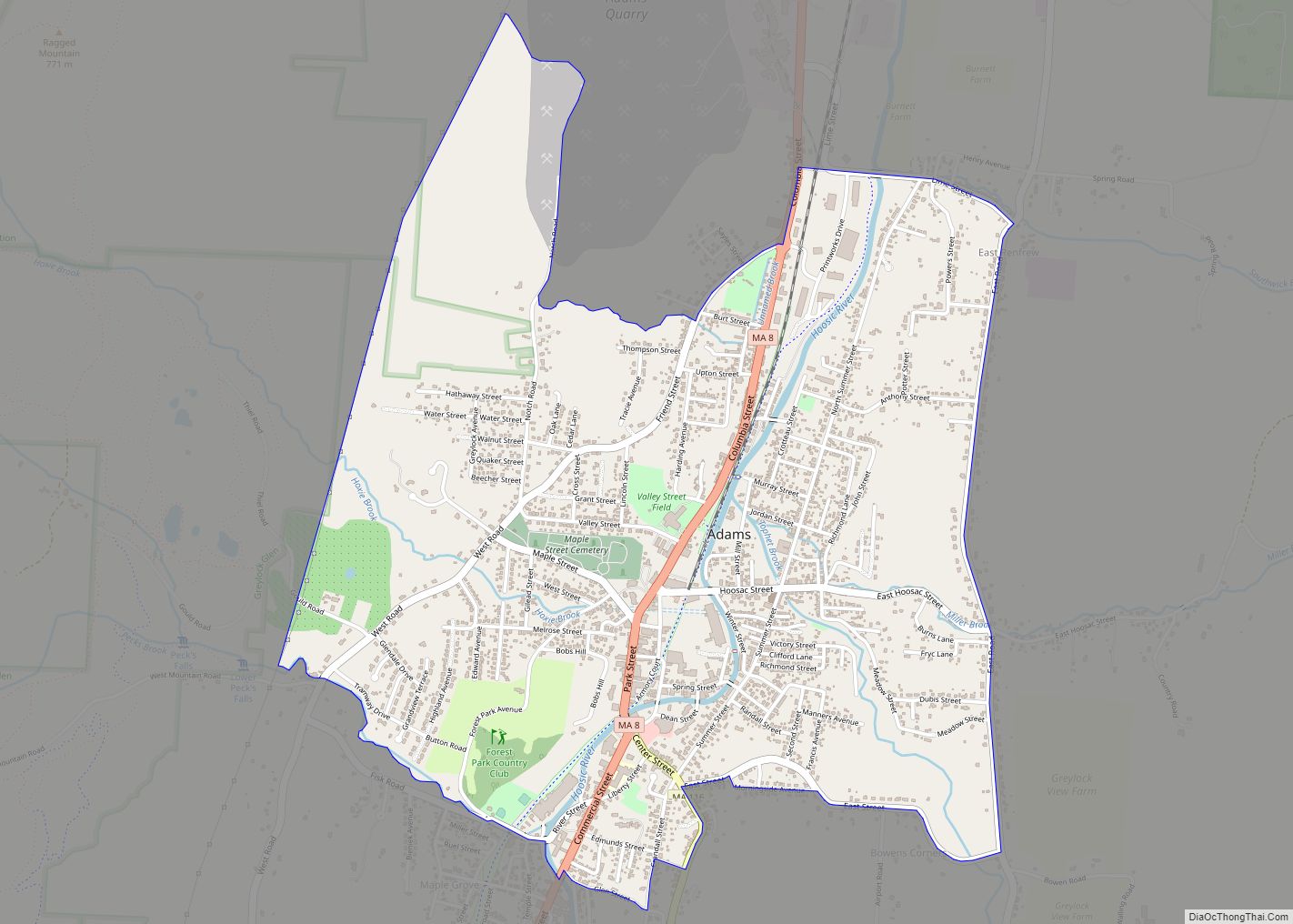
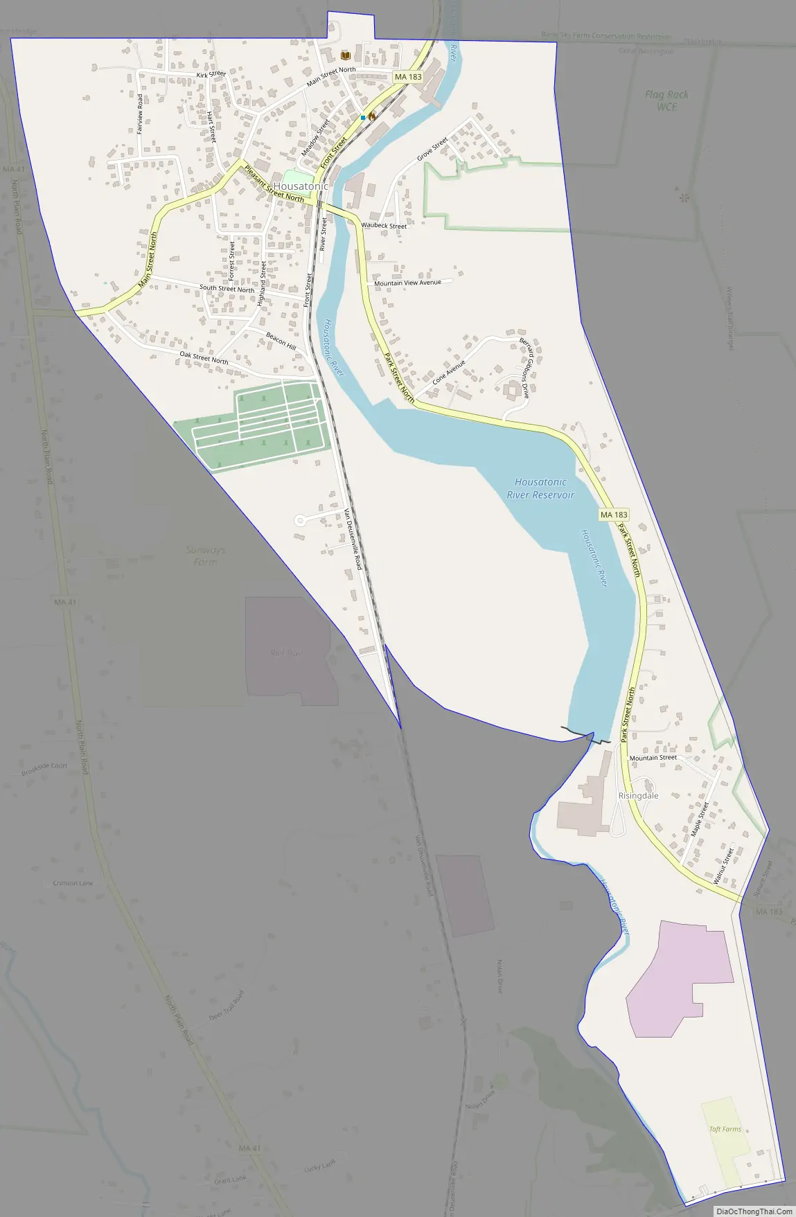
Housatonic Road Map
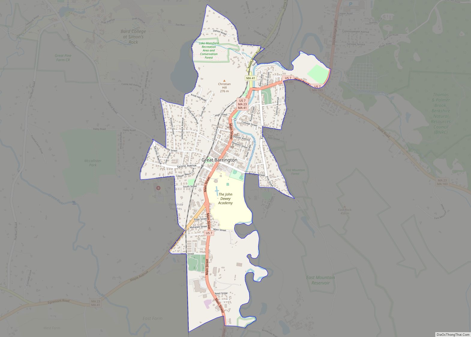
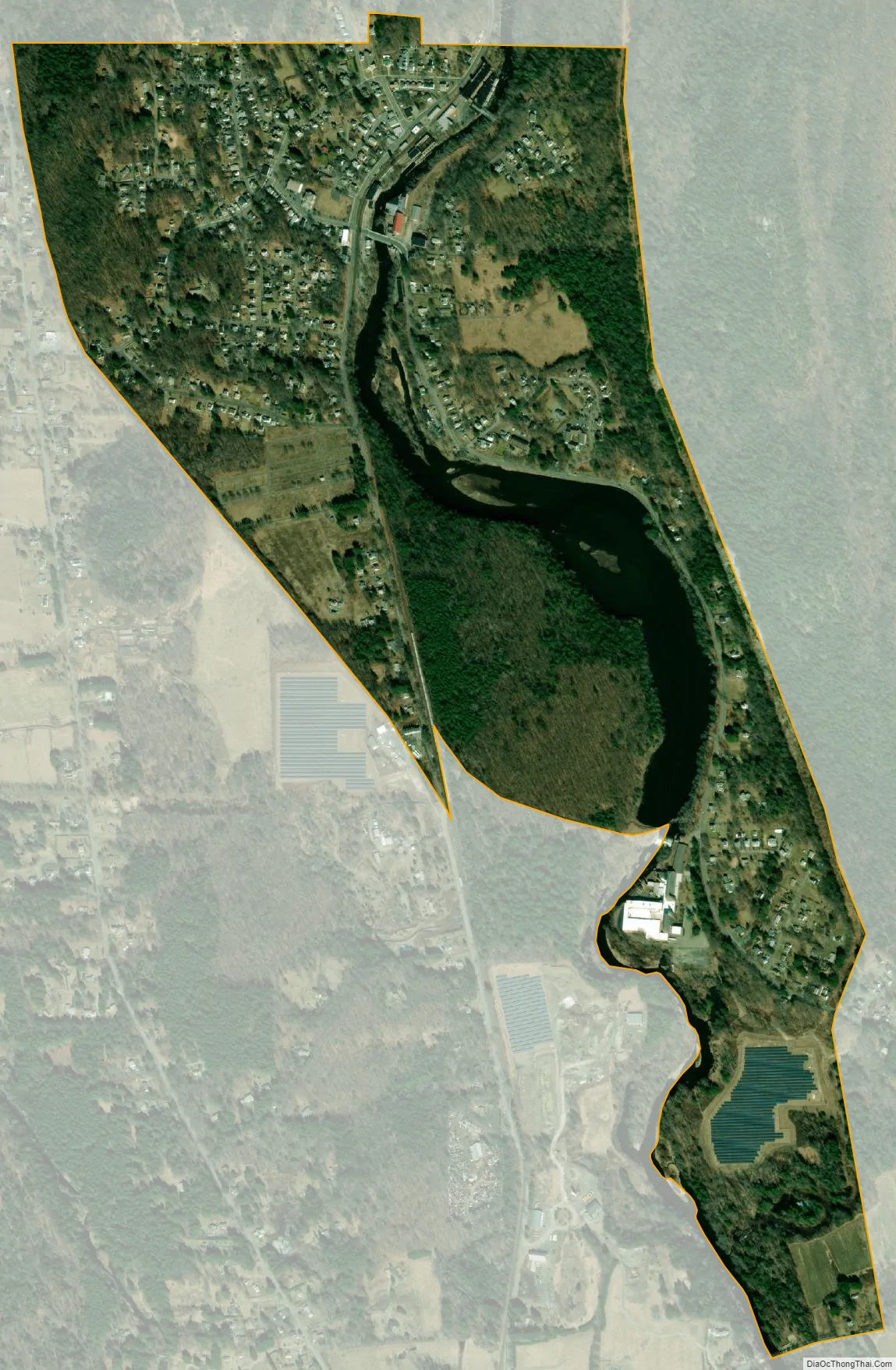
Housatonic city Satellite Map
Geography
Housatonic is located along the northern edge of the town of Great Barrington at 42°15′8″N 73°22′3″W / 42.25222°N 73.36750°W / 42.25222; -73.36750 (42.252122, -73.367537). It is bordered to the north by the towns of Stockbridge and West Stockbridge. The Housatonic River runs through the center of the community. Massachusetts Route 183 enters the CDP from the south as Park Street following the east bank of the river, then crosses the river at the center of town and continues north on the west bank as Front Street.
According to the United States Census Bureau, the CDP has a total area of 0.97 square miles (2.5 km), of which 0.89 square miles (2.3 km) is land, and 0.077 square miles (0.2 km) (8.84%) is water.
See also
Map of Massachusetts State and its subdivision: Map of other states:- Alabama
- Alaska
- Arizona
- Arkansas
- California
- Colorado
- Connecticut
- Delaware
- District of Columbia
- Florida
- Georgia
- Hawaii
- Idaho
- Illinois
- Indiana
- Iowa
- Kansas
- Kentucky
- Louisiana
- Maine
- Maryland
- Massachusetts
- Michigan
- Minnesota
- Mississippi
- Missouri
- Montana
- Nebraska
- Nevada
- New Hampshire
- New Jersey
- New Mexico
- New York
- North Carolina
- North Dakota
- Ohio
- Oklahoma
- Oregon
- Pennsylvania
- Rhode Island
- South Carolina
- South Dakota
- Tennessee
- Texas
- Utah
- Vermont
- Virginia
- Washington
- West Virginia
- Wisconsin
- Wyoming