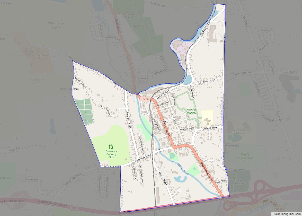
Lee is a census-designated place (CDP) located in the town of Lee in Berkshire County, Massachusetts, United States. The population was 2,051 at the 2010 census, out of 5,943 in the entire town of Lee.
| Name: | Lee CDP |
|---|---|
| LSAD Code: | 57 |
| LSAD Description: | CDP (suffix) |
| State: | Massachusetts |
| County: | Berkshire County |
| Elevation: | 883 ft (269 m) |
| Total Area: | 1.36 sq mi (3.53 km²) |
| Land Area: | 1.32 sq mi (3.43 km²) |
| Water Area: | 0.04 sq mi (0.09 km²) |
| Total Population: | 1,880 |
| Population Density: | 1,418.87/sq mi (547.95/km²) |
| ZIP code: | 01238, 01264 |
| Area code: | 413 |
| FIPS code: | 2534620 |
| GNISfeature ID: | 0607508 |
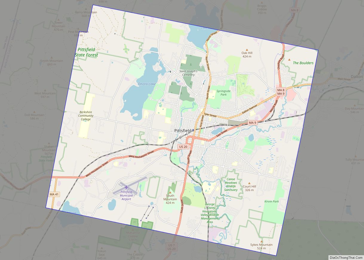
Online Interactive Map
Click on ![]() to view map in "full screen" mode.
to view map in "full screen" mode.
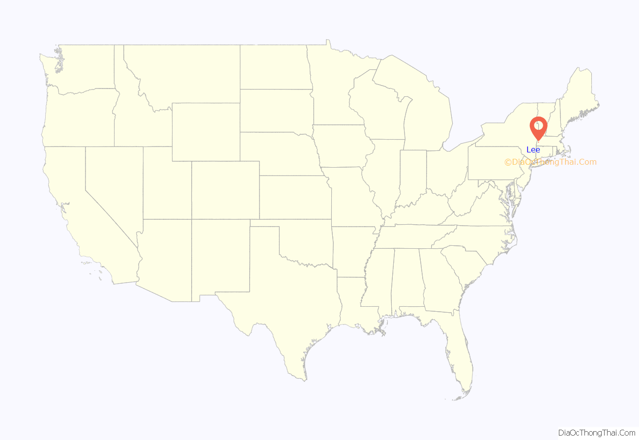
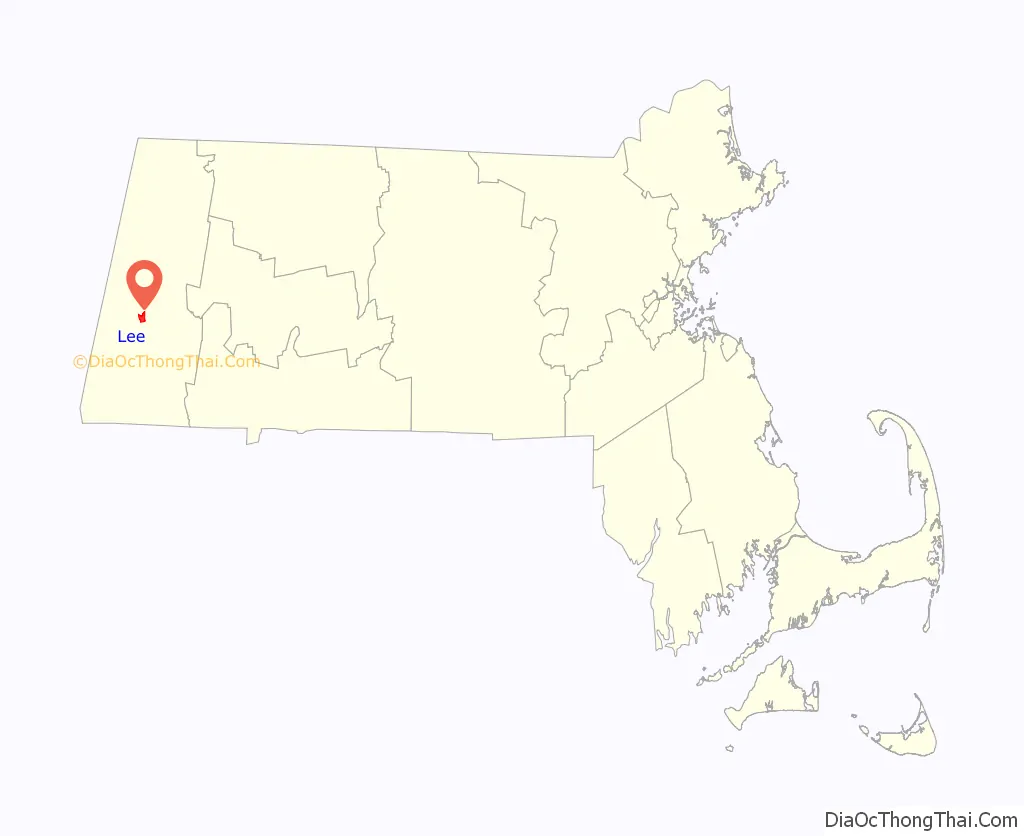
Lee location map. Where is Lee CDP?
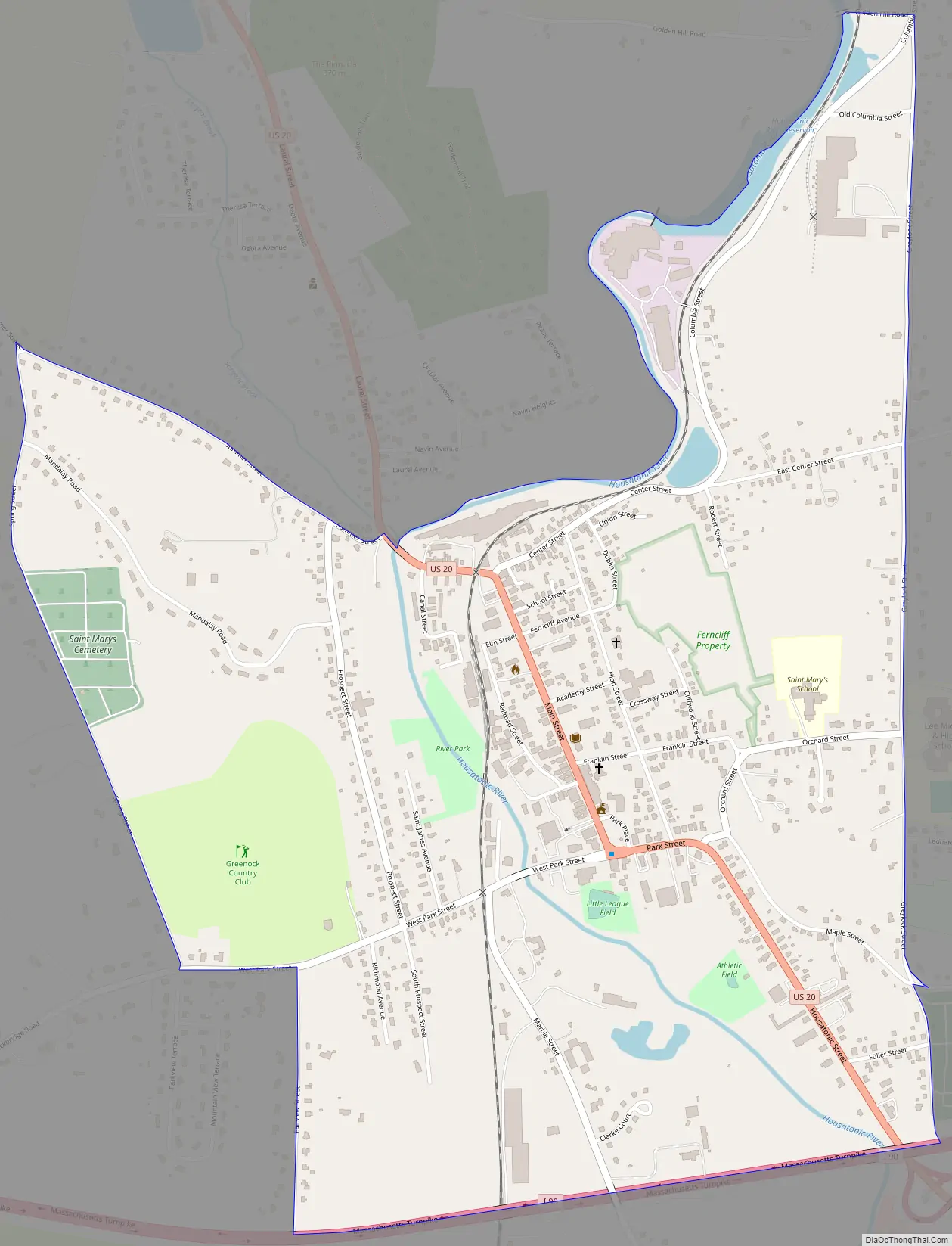
Lee Road Map
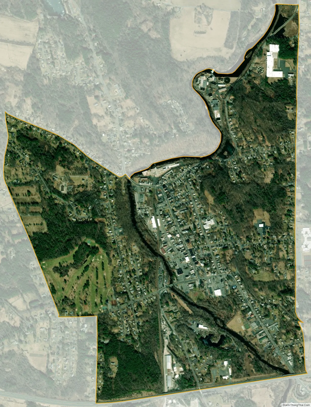
Lee city Satellite Map
Geography
The Lee CDP is located in the center of the town of Lee at 42°18′24″N 73°14′50″W / 42.30667°N 73.24722°W / 42.30667; -73.24722 (42.306929, -73.247351). U.S. Route 20 passes through the CDP as Main Street and Housatonic Street, leading north to Lenox and Pittsfield and south to Interstate 90 (the Massachusetts Turnpike), which forms the southern edge of the CDP and accesses it via Turnpike Exit 2. The Housatonic River flows north to south through the center of the CDP.
According to the United States Census Bureau, the CDP has a total area of 1.4 square miles (3.5 km), of which 1.3 square miles (3.4 km) is land and 0.04 square miles (0.1 km), or 2.68%, is water.
See also
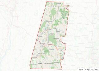
Map of Massachusetts State and its subdivision: Map of other states:- Alabama
- Alaska
- Arizona
- Arkansas
- California
- Colorado
- Connecticut
- Delaware
- District of Columbia
- Florida
- Georgia
- Hawaii
- Idaho
- Illinois
- Indiana
- Iowa
- Kansas
- Kentucky
- Louisiana
- Maine
- Maryland
- Massachusetts
- Michigan
- Minnesota
- Mississippi
- Missouri
- Montana
- Nebraska
- Nevada
- New Hampshire
- New Jersey
- New Mexico
- New York
- North Carolina
- North Dakota
- Ohio
- Oklahoma
- Oregon
- Pennsylvania
- Rhode Island
- South Carolina
- South Dakota
- Tennessee
- Texas
- Utah
- Vermont
- Virginia
- Washington
- West Virginia
- Wisconsin
- Wyoming