Plymouth is a census-designated place (CDP) in the town of Plymouth in Plymouth County, Massachusetts, United States. It is often referred to as Downtown Plymouth or Plymouth Center. The population was 7,494 at the 2010 census.
Plymouth Center is considered to be the most prominent neighborhood of Plymouth. It is the location of Plymouth’s town hall and of the town harbor. In addition, Plymouth Center is home to Plymouth Rock, the Pilgrim Hall Museum, and the Mayflower II.
The geographical locations of North, South, and West Plymouth are named in relation to Plymouth Center.
The post office located at the intersection of Main Street Extension and Leyden Street was the main post office in Plymouth until sometime in the 1970s, when the current main post office located in South Pond was built. The ZIP code for Plymouth Center (officially simply “Plymouth, MA”) is 02361. Non-post office box holders in Plymouth Center use the zip code of 02360.
| Name: | Plymouth CDP |
|---|---|
| LSAD Code: | 57 |
| LSAD Description: | CDP (suffix) |
| State: | Massachusetts |
| County: | Plymouth County |
| Total Area: | 3.88 sq mi (10.06 km²) |
| Land Area: | 2.24 sq mi (5.80 km²) |
| Water Area: | 1.64 sq mi (4.26 km²) |
| Total Population: | 7,667 |
| Population Density: | 3,425.83/sq mi (1,322.53/km²) |
| FIPS code: | 2554275 |
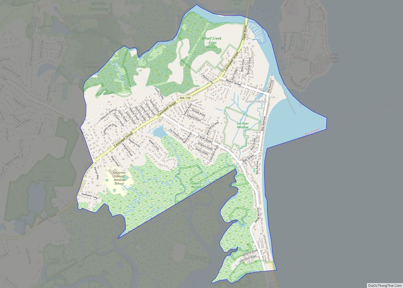
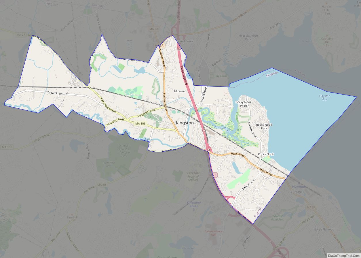
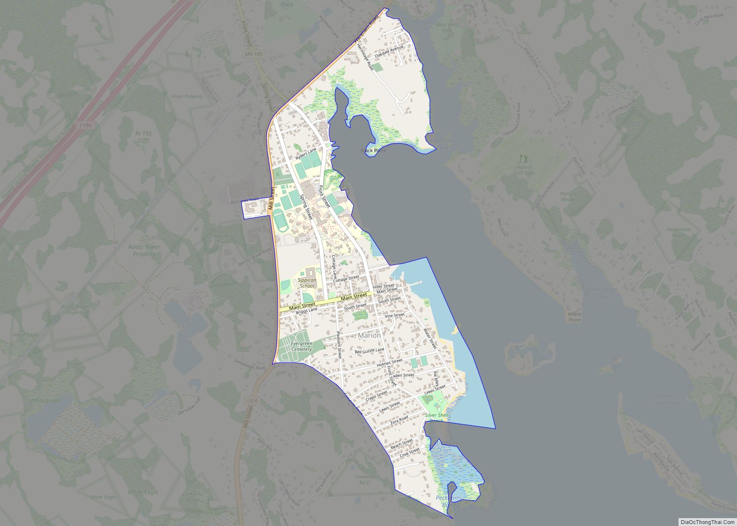
Online Interactive Map
Click on ![]() to view map in "full screen" mode.
to view map in "full screen" mode.
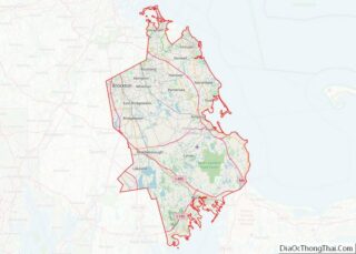
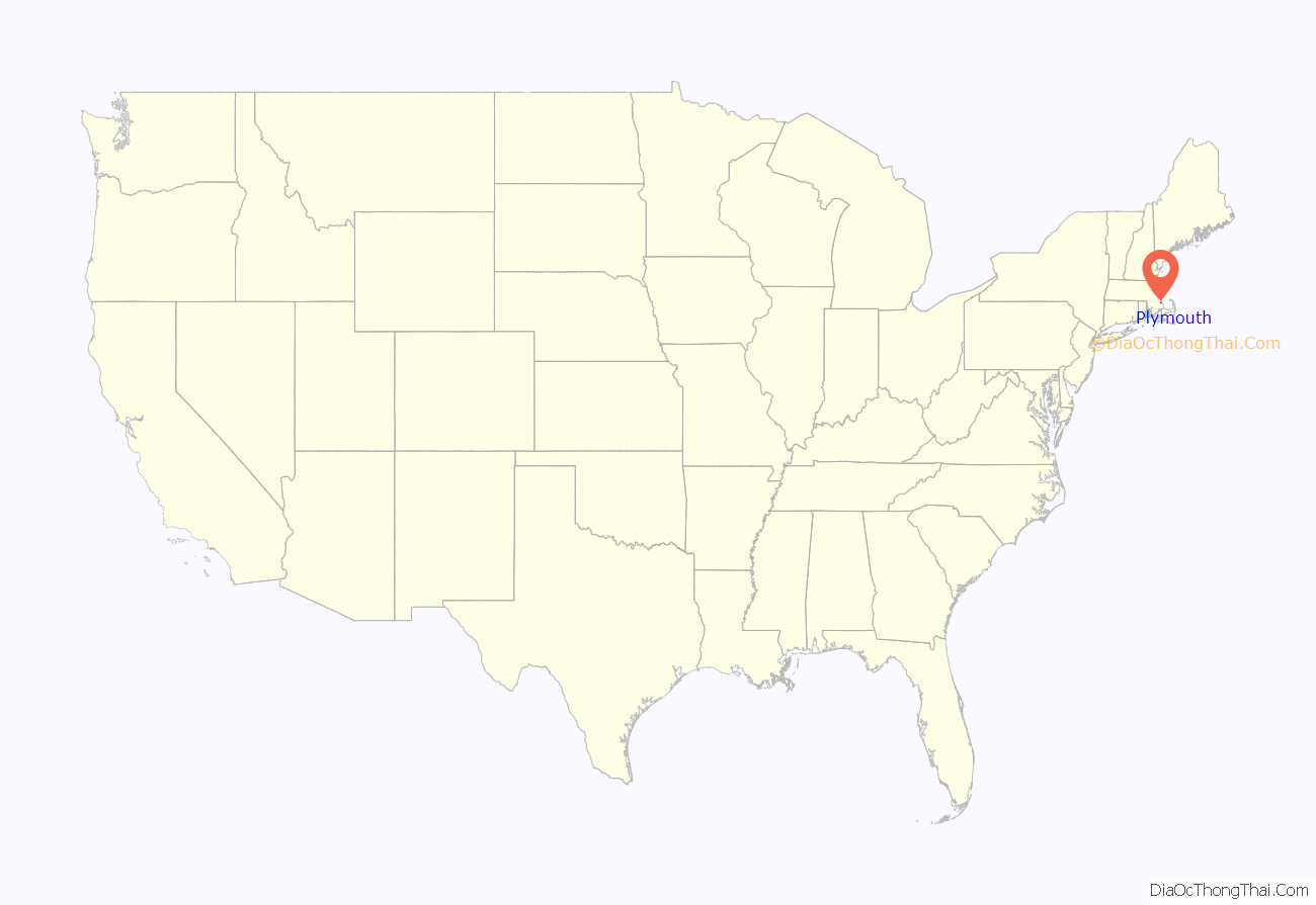
Plymouth location map. Where is Plymouth CDP?
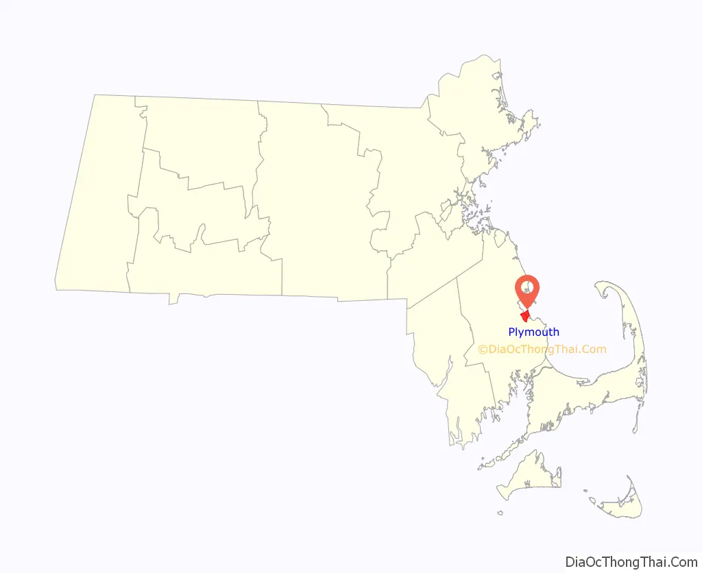
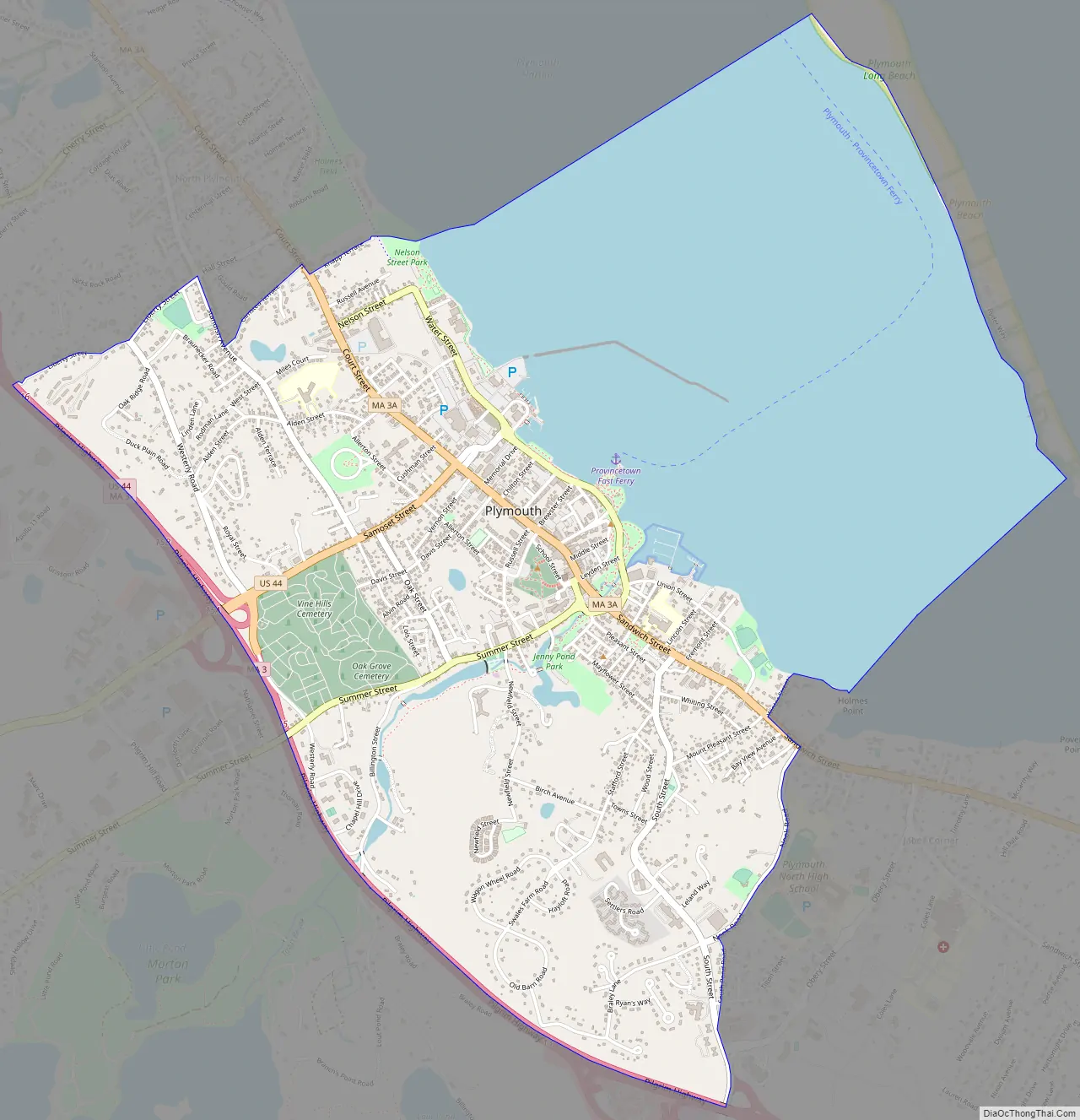
Plymouth Road Map
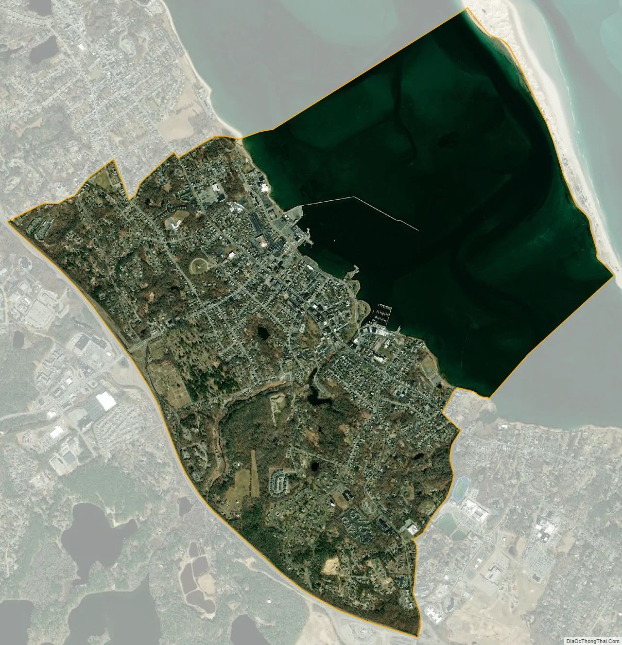
Plymouth city Satellite Map
Geography
Plymouth Center is located at 41°57′21″N 70°39′59″W / 41.95583°N 70.66639°W / 41.95583; -70.66639 (41.955841, -70.666549).
According to the United States Census Bureau, the CDP has a total area of 10.1 km (3.9 mi), of which 5.9 km (2.3 mi) is land and 4.3 km (1.6 mi) (42.20%) is water.
See also
Map of Massachusetts State and its subdivision: Map of other states:- Alabama
- Alaska
- Arizona
- Arkansas
- California
- Colorado
- Connecticut
- Delaware
- District of Columbia
- Florida
- Georgia
- Hawaii
- Idaho
- Illinois
- Indiana
- Iowa
- Kansas
- Kentucky
- Louisiana
- Maine
- Maryland
- Massachusetts
- Michigan
- Minnesota
- Mississippi
- Missouri
- Montana
- Nebraska
- Nevada
- New Hampshire
- New Jersey
- New Mexico
- New York
- North Carolina
- North Dakota
- Ohio
- Oklahoma
- Oregon
- Pennsylvania
- Rhode Island
- South Carolina
- South Dakota
- Tennessee
- Texas
- Utah
- Vermont
- Virginia
- Washington
- West Virginia
- Wisconsin
- Wyoming