South Deerfield is a census-designated place (CDP) in Deerfield, Franklin County, Massachusetts, United States. It is home to the Yankee Candle Company. At the 2010 census, the population of South Deerfield was 1,880.
South Deerfield is part of the Springfield, Massachusetts Metropolitan Statistical Area.
| Name: | South Deerfield CDP |
|---|---|
| LSAD Code: | 57 |
| LSAD Description: | CDP (suffix) |
| State: | Massachusetts |
| County: | Franklin County |
| Elevation: | 203 ft (62 m) |
| Total Area: | 3.26 sq mi (8.45 km²) |
| Land Area: | 3.15 sq mi (8.17 km²) |
| Water Area: | 0.11 sq mi (0.28 km²) |
| Total Population: | 1,930 |
| Population Density: | 611.92/sq mi (236.24/km²) |
| ZIP code: | 01373 |
| Area code: | 413 |
| FIPS code: | 2563620 |
| GNISfeature ID: | 0608942 |
| Website: | www.deerfieldma.us |
Online Interactive Map
Click on ![]() to view map in "full screen" mode.
to view map in "full screen" mode.
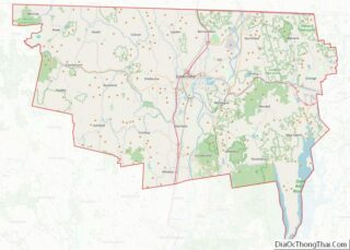
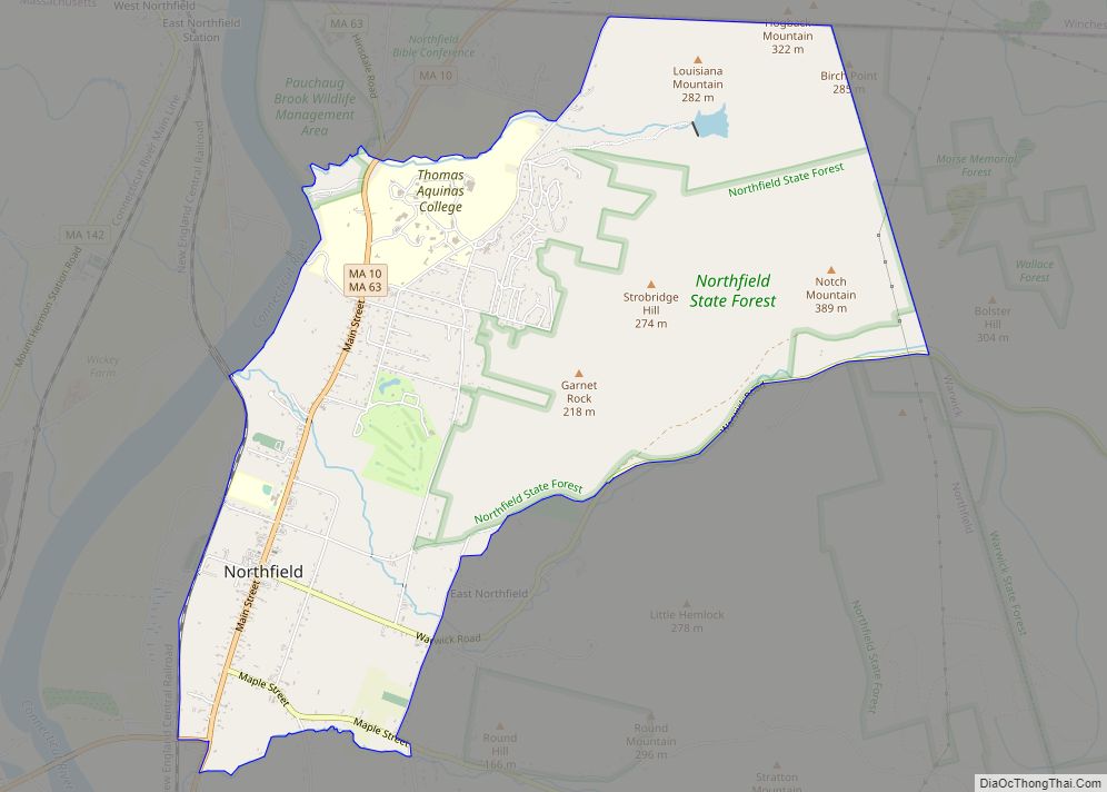
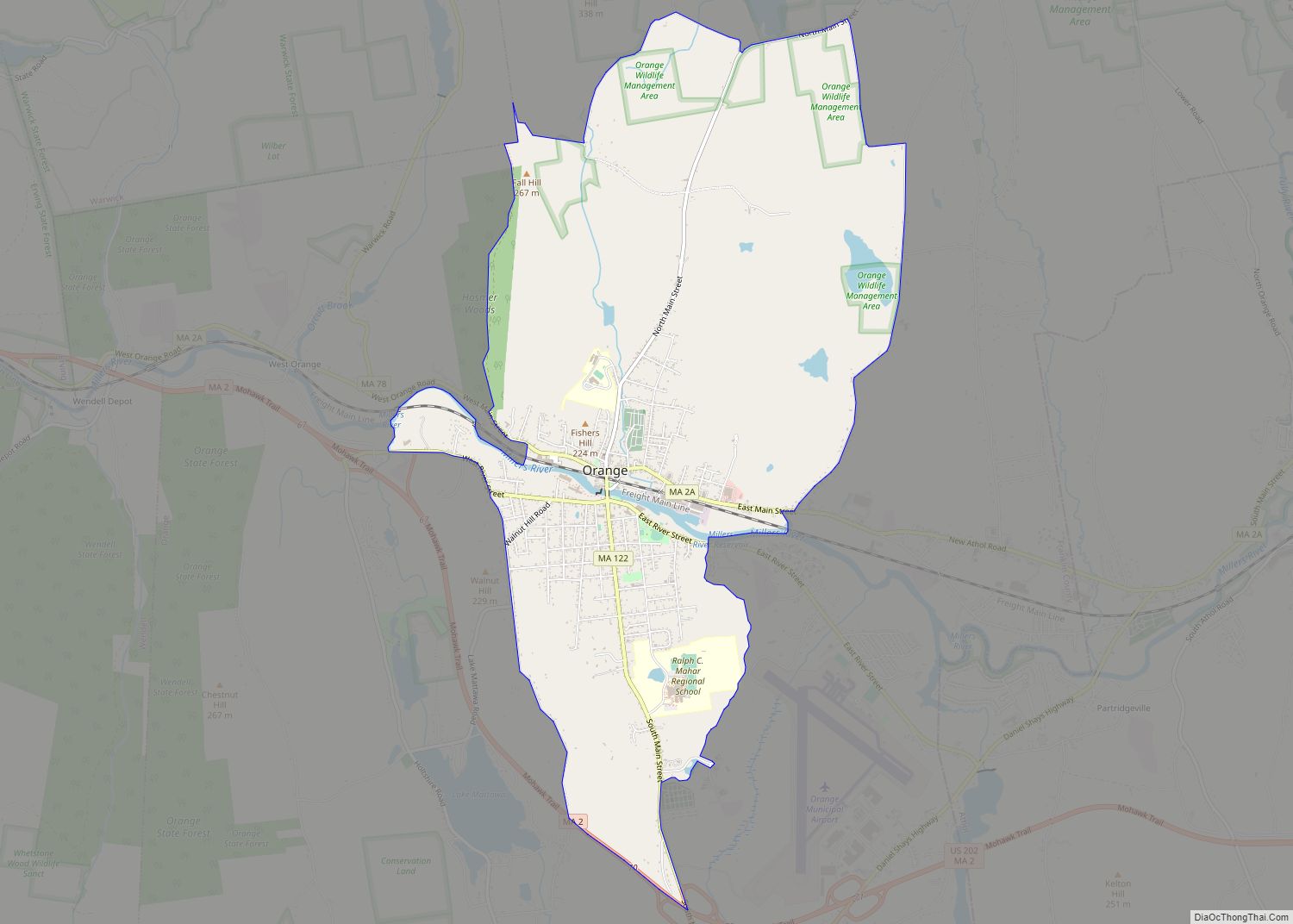
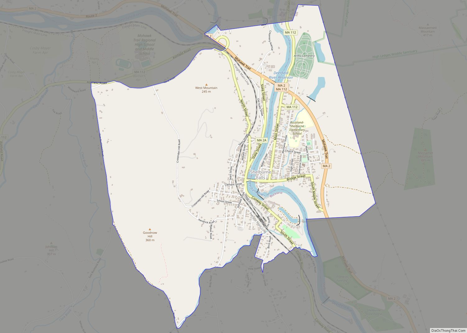
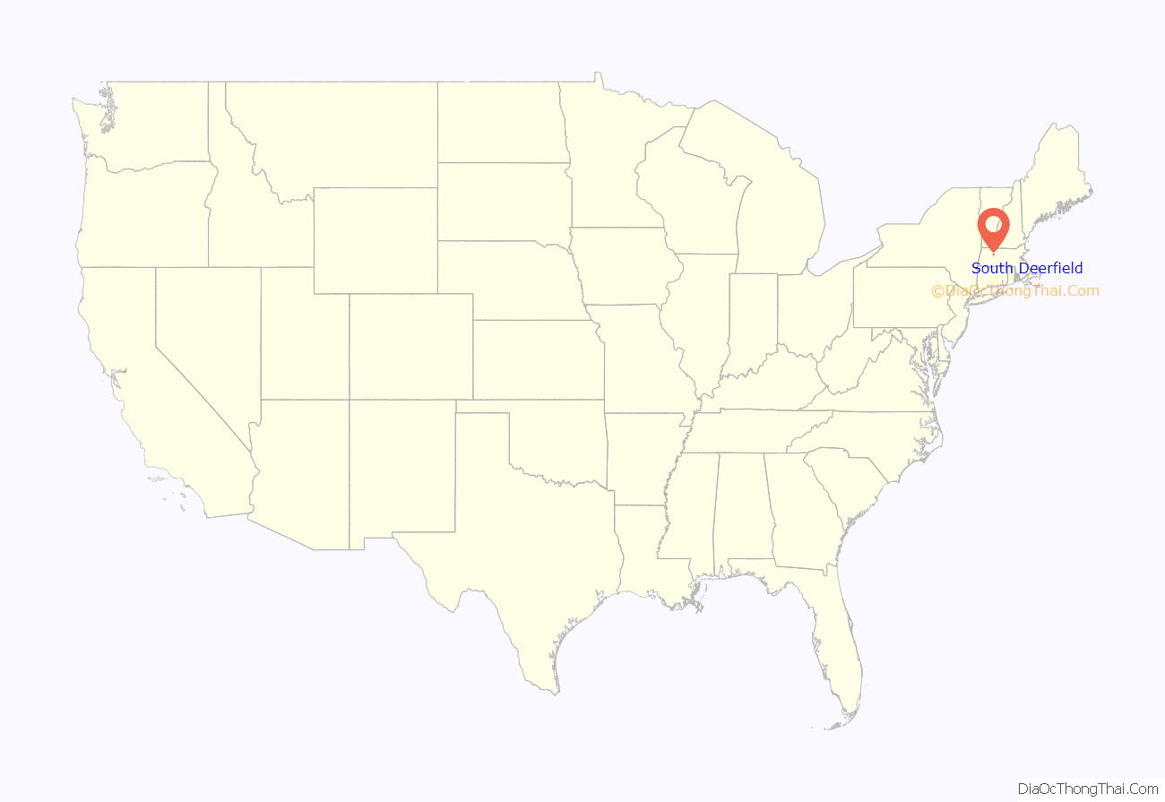
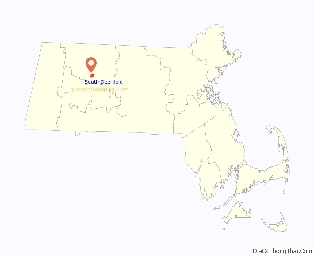
South Deerfield location map. Where is South Deerfield CDP?
History
The area was once home to the Pocumtuck tribe, who were driven away by settlers relocated in 1673 from Dedham. In retaliation, on September 18, 1675, the Indians attacked and killed Captain Thomas Lathrop and a small force in the Battle of Bloody Brook before being routed by reinforcements. Thereafter called Bloody Brook or Muddy Brook, South Deerfield in 1809 attempted to be set off from Deerfield in part because of the distance to its meetinghouse and in part because of religious differences with its minister, the Reverend Samuel Willard. The grant was refused, and the village remained part of Deerfield, but South Deerfield nevertheless dedicated its own meetinghouse in 1821. Situated beside the Connecticut River, it developed as a small farming community.
There are a variety of retail and service establishments in South Deerfield, including a hardware store, a family restaurant, the Polish American Citizens Club, and a small brewery called Berkshire Brewing Company (BBC). The town’s Tilton Library and Frontier Regional High School are also in South Deerfield.
Bartlett House in 1910
Mt. Sugarloaf in 1910
Connecticut River, c. 1910
Lathrop Hotel in 1911
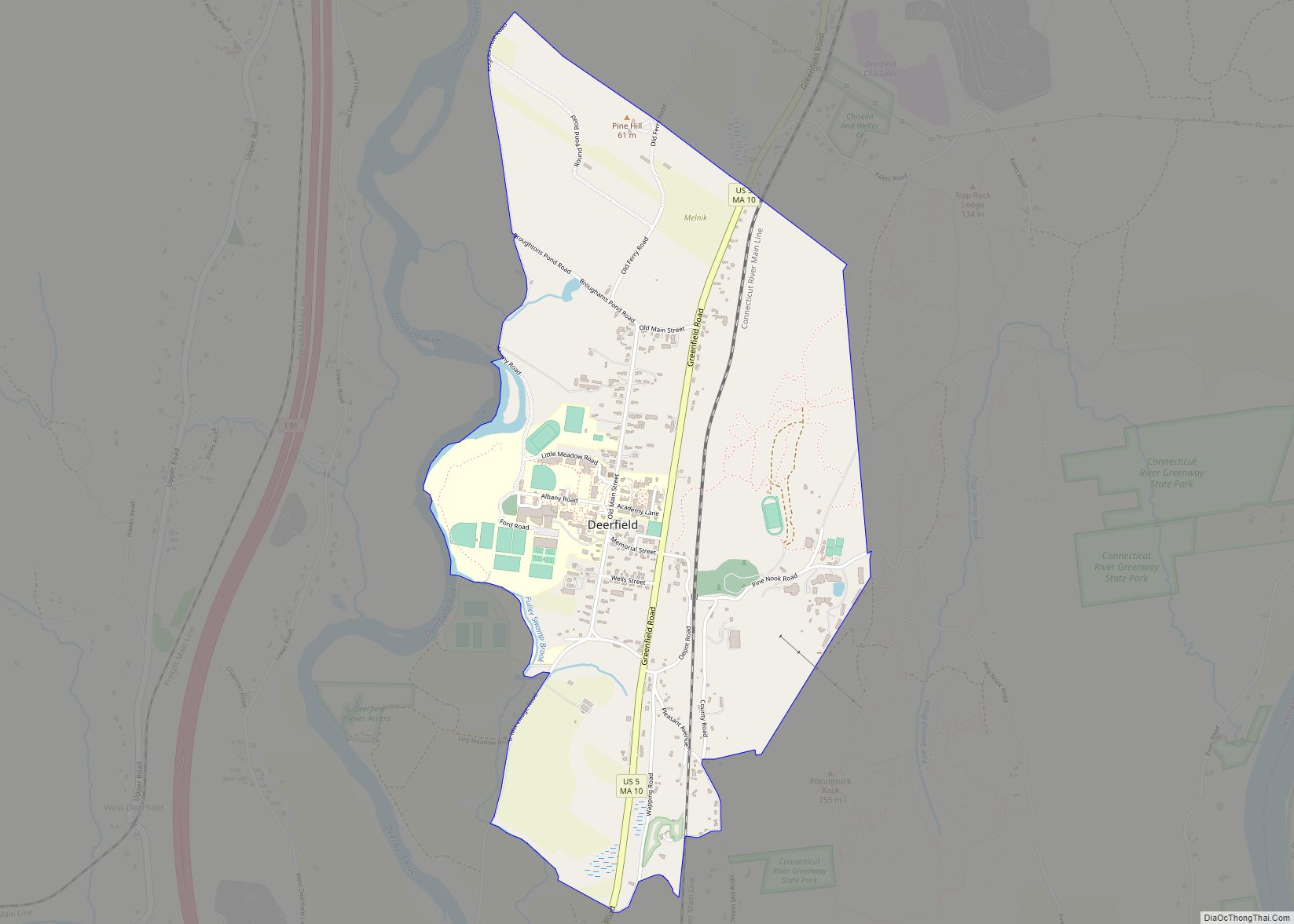
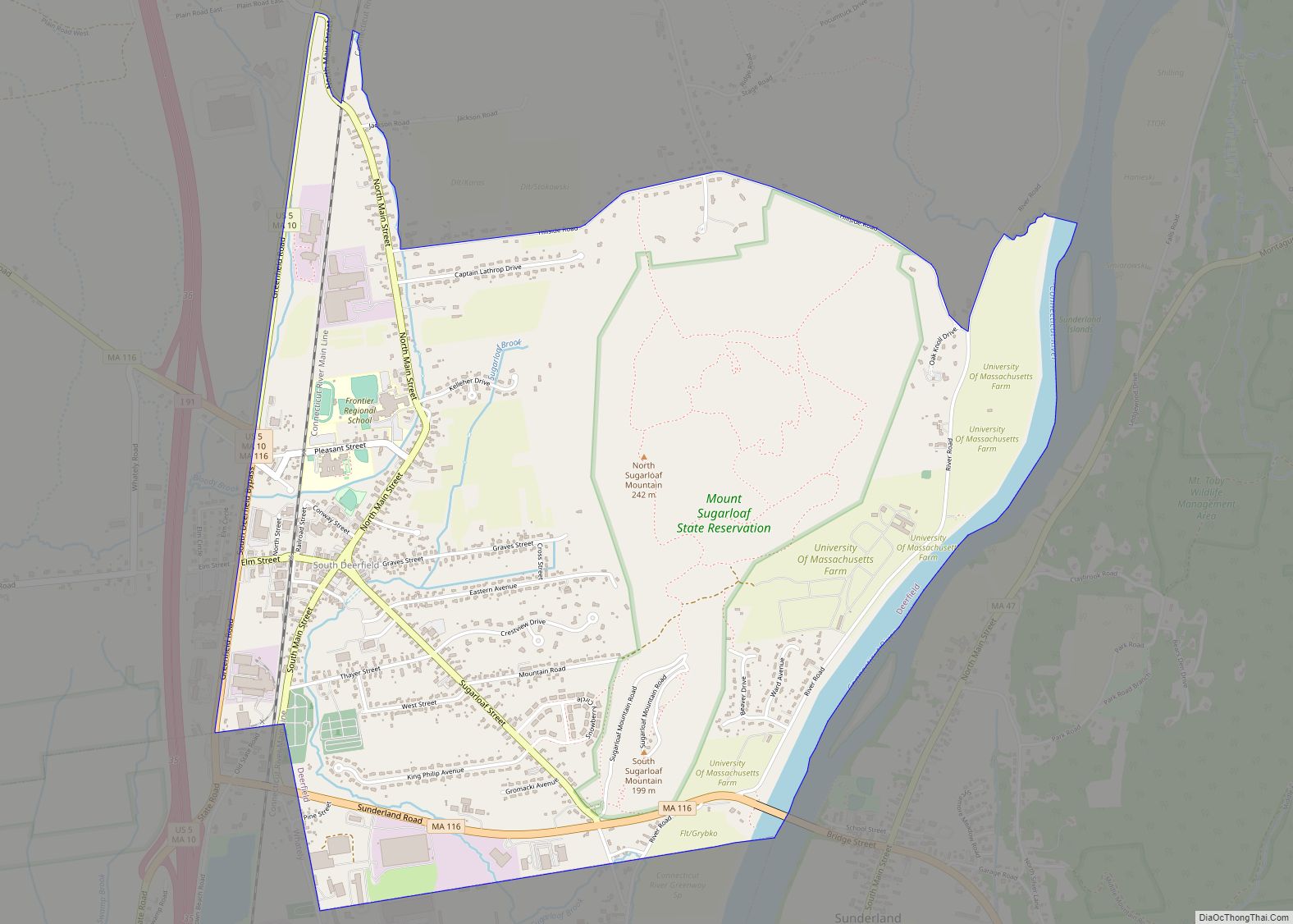
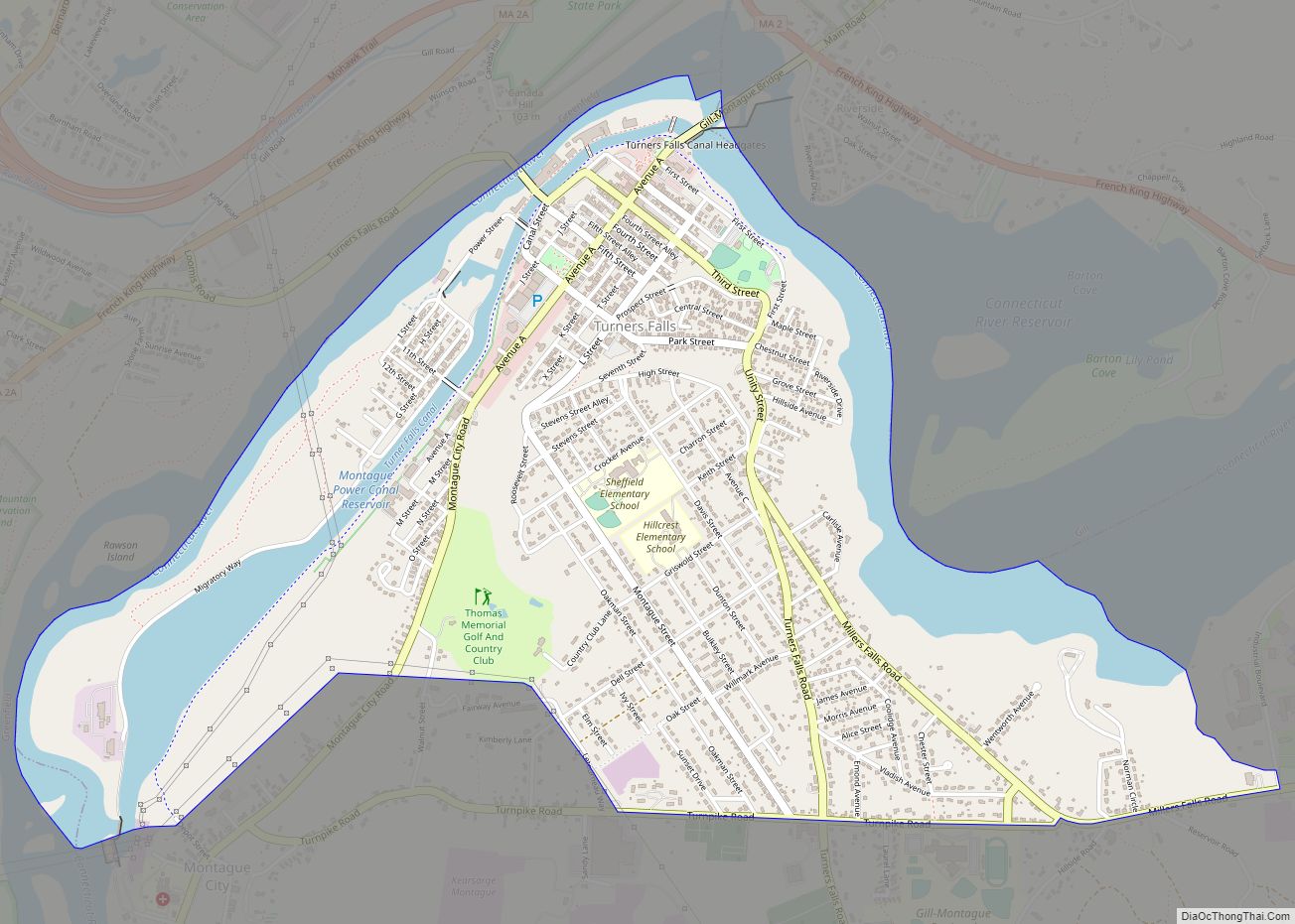
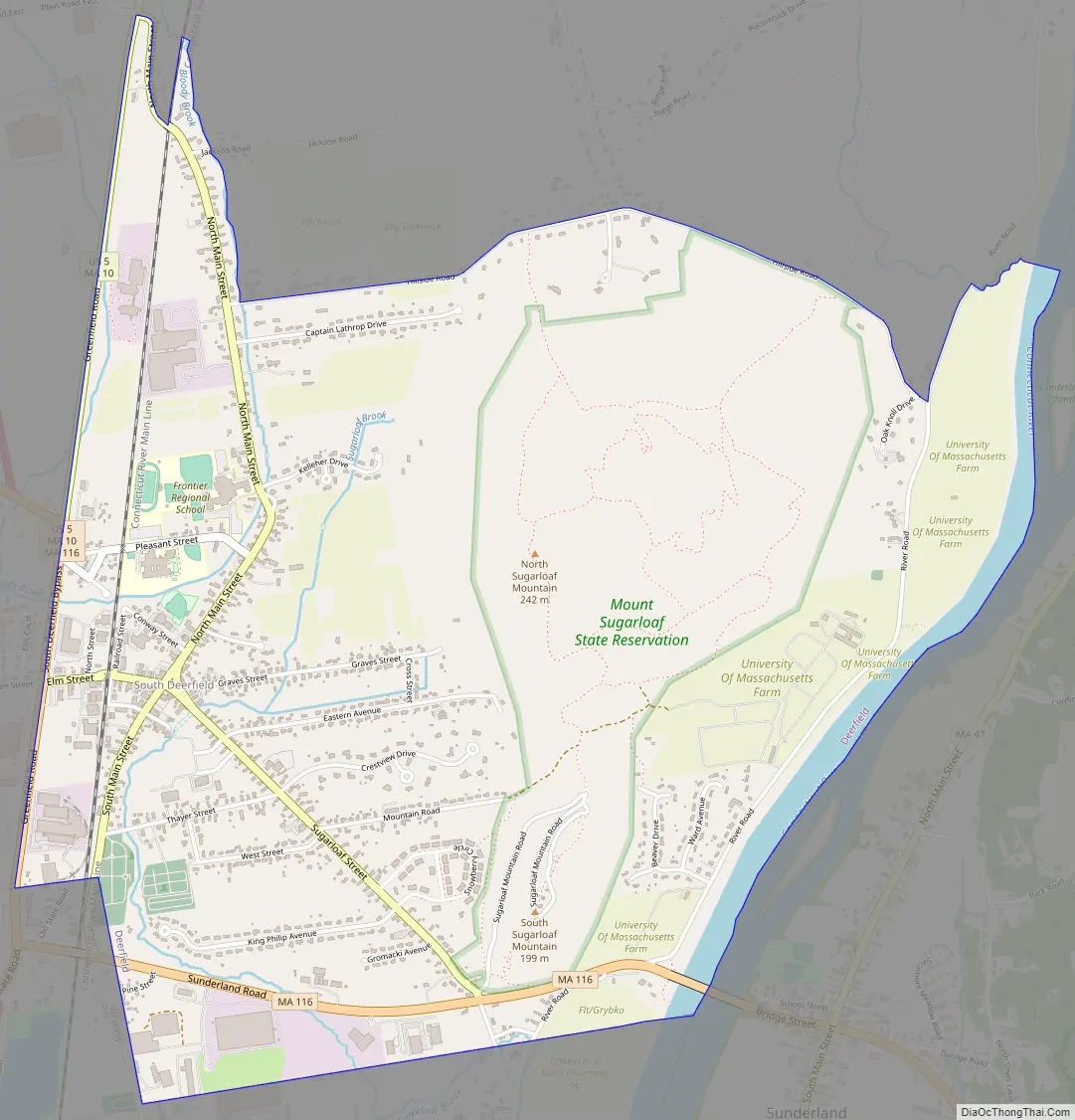
South Deerfield Road Map
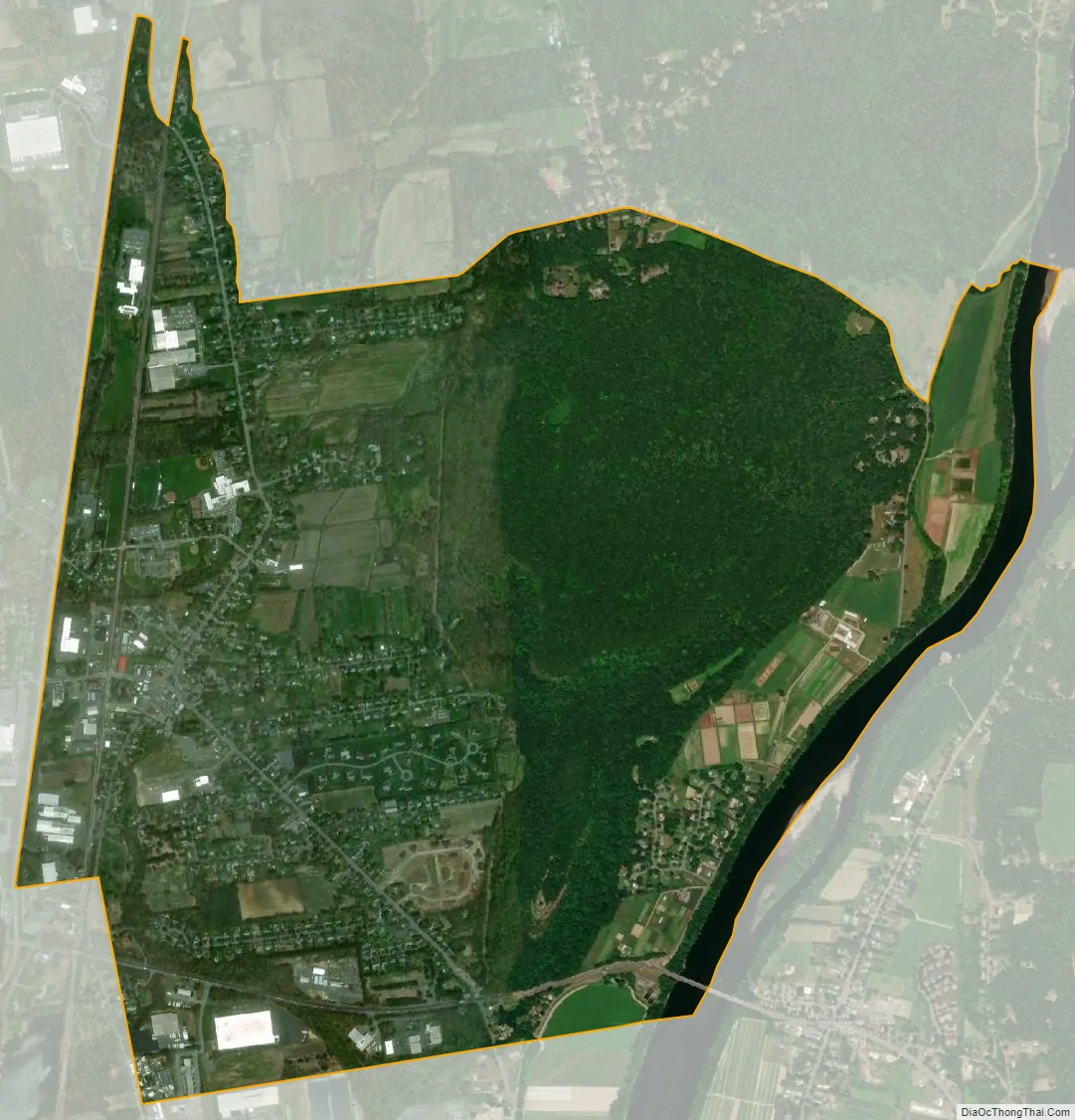
South Deerfield city Satellite Map
Geography
South Deerfield is located at 42°28′37″N 72°36′02″W / 42.476925°N 72.600610°W / 42.476925; -72.600610.
According to the United States Census Bureau, the CDP has a total area of 8.4 km (3.3 mi), of which 8.1 km (3.1 mi) is land and 0.3 km (0.1 mi) (3.37%) is water. South Deerfield is drained by the Deerfield and Connecticut rivers.
See also
Map of Massachusetts State and its subdivision: Map of other states:- Alabama
- Alaska
- Arizona
- Arkansas
- California
- Colorado
- Connecticut
- Delaware
- District of Columbia
- Florida
- Georgia
- Hawaii
- Idaho
- Illinois
- Indiana
- Iowa
- Kansas
- Kentucky
- Louisiana
- Maine
- Maryland
- Massachusetts
- Michigan
- Minnesota
- Mississippi
- Missouri
- Montana
- Nebraska
- Nevada
- New Hampshire
- New Jersey
- New Mexico
- New York
- North Carolina
- North Dakota
- Ohio
- Oklahoma
- Oregon
- Pennsylvania
- Rhode Island
- South Carolina
- South Dakota
- Tennessee
- Texas
- Utah
- Vermont
- Virginia
- Washington
- West Virginia
- Wisconsin
- Wyoming