The Pinehills is a census-designated place (CDP) located in the Pine Hills region of Plymouth, Massachusetts, United States. At the 2010 census, the population was 955. It includes a real estate development that bears the same name. As of 2008, the project is the largest new residential and commercial development in New England. When complete, The Pinehills, a mixed-use community, will include 1.3 million square feet of mixed-use space and 3,065 homes on only 30 percent of the land, preserving over 2,200 acres of open space over an area of 3,060 acres (12.4 km), an area larger than many Massachusetts towns. Already, over 500,000 square feet of mixed-use space exists in the Village Green. The community now consists of over 2,000 single-family homes, apartments and condominiums, two daily fee public golf courses, a private golf club, and the Village Green, a commercial center with a grocery store, restaurants, US Post Office, shops and professional and medical services.
Homes in The Pinehills are organized into nearly 40 neighborhoods. Neighborhoods have different builders and home styles: from cottage homes to custom homes to condominium townhomes to luxury apartment rentals. Homes are designed by eleven different builders, including Polhemus Savery DaSilva Architects Builders, The Green Company, Kistler and Knapp, Design Housing, Pulte Homes, Whitman Homes, MacKenzie Brothers, Toll Brothers, Barefoot Cottage Company, The Hanover Company, and AvalonBay Communities, Inc.
The Pinehills is also home to Mirbeau Inn & Spa. This is the second Mirbeau in the U.S., with the first in the Finger Lakes region of New York State. Mirbeau is known for its spa treatments and beautiful architecture and design. Surrounding the Inn are Monet-inspired pond gardens.
80 residences offering assisted living and memory care for seniors are part of Laurelwood at The Pinehills, by Northbridge Companies.
| Name: | The Pinehills CDP |
|---|---|
| LSAD Code: | 57 |
| LSAD Description: | CDP (suffix) |
| State: | Massachusetts |
| County: | Plymouth County |
| Total Area: | 4.12 sq mi (10.66 km²) |
| Land Area: | 4.08 sq mi (10.57 km²) |
| Water Area: | 0.04 sq mi (0.10 km²) |
| Total Population: | 4,515 |
| Population Density: | 1,106.89/sq mi (427.32/km²) |
| Area code: | 508 |
| FIPS code: | 2569585 |
| GNISfeature ID: | 2583712 |
| Website: | www.pinehills.com |
Online Interactive Map
Click on ![]() to view map in "full screen" mode.
to view map in "full screen" mode.
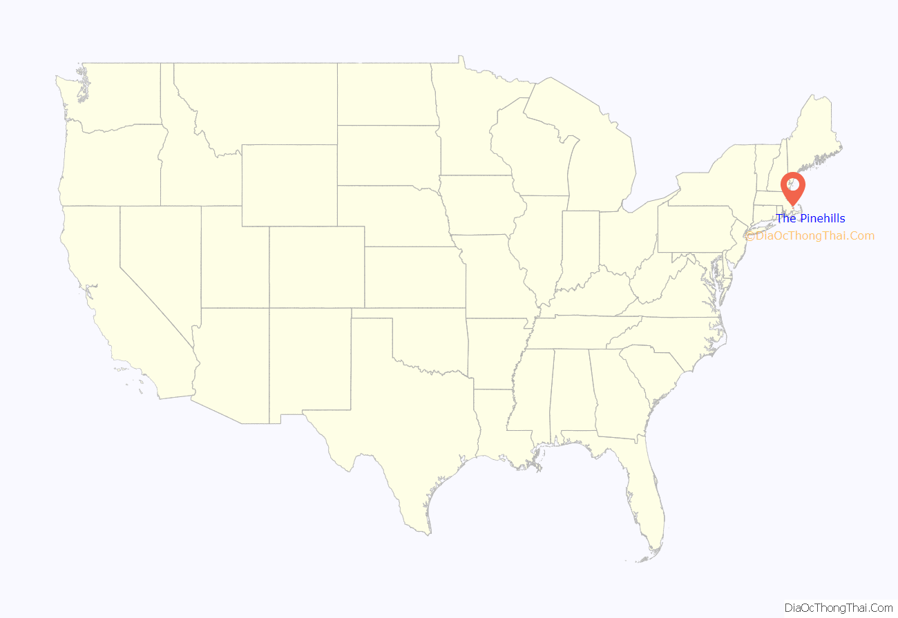
The Pinehills location map. Where is The Pinehills CDP?
The Pinehills Road Map
The Pinehills city Satellite Map
Geography
According to the United States Census Bureau, the CDP has a total area of 1.1 mi² (2.9 km), all land.
See also
Map of Massachusetts State and its subdivision: Map of other states:- Alabama
- Alaska
- Arizona
- Arkansas
- California
- Colorado
- Connecticut
- Delaware
- District of Columbia
- Florida
- Georgia
- Hawaii
- Idaho
- Illinois
- Indiana
- Iowa
- Kansas
- Kentucky
- Louisiana
- Maine
- Maryland
- Massachusetts
- Michigan
- Minnesota
- Mississippi
- Missouri
- Montana
- Nebraska
- Nevada
- New Hampshire
- New Jersey
- New Mexico
- New York
- North Carolina
- North Dakota
- Ohio
- Oklahoma
- Oregon
- Pennsylvania
- Rhode Island
- South Carolina
- South Dakota
- Tennessee
- Texas
- Utah
- Vermont
- Virginia
- Washington
- West Virginia
- Wisconsin
- Wyoming
