Bowdoinham is a town in Sagadahoc County, Maine, United States. The population was 3,047 at the 2020 census. It is part of the Portland–South Portland–Biddeford, Maine metropolitan statistical area. The town is located on the west side of Merrymeeting Bay.
| Name: | Bowdoinham CDP |
|---|---|
| LSAD Code: | 57 |
| LSAD Description: | CDP (suffix) |
| State: | Maine |
| County: | Sagadahoc County |
| Incorporated: | 1762 |
| Elevation: | 115 ft (35 m) |
| Total Area: | 39.2 sq mi (102 km²) |
| Land Area: | 34.4 sq mi (89 km²) |
| Water Area: | 4.8 sq mi (12 km²) |
| Total Population: | 734 |
| Population Density: | 206.41/sq mi (79.70/km²) |
| ZIP code: | 04008 |
| Area code: | 207 |
| FIPS code: | 2306330 |
| GNISfeature ID: | 0582361 |
Online Interactive Map
Click on ![]() to view map in "full screen" mode.
to view map in "full screen" mode.
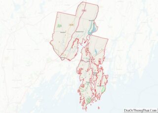
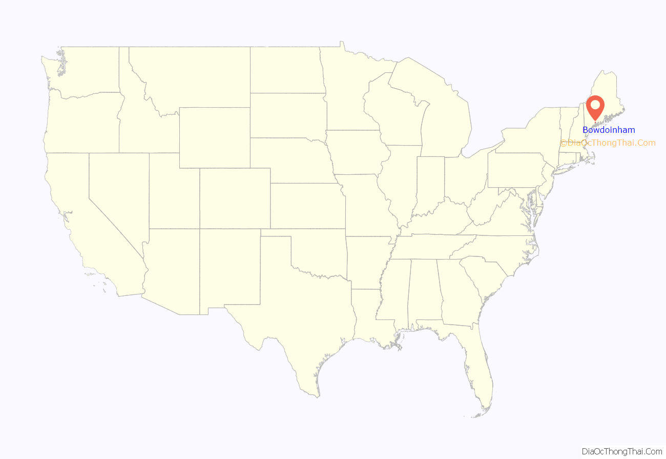
Bowdoinham location map. Where is Bowdoinham CDP?

History
Fort Richmond was built upriver in 1719, protecting the area and encouraging British settlement. About 1720, the mouth of the Cathance River was first settled by Captain Gyles Watkins. But during Dummer’s War, in the summer of 1723 all buildings in the region were burned and cattle killed by the Norridgewocks and their 250 Indian allies from New France. The Kennebec River region was abandoned. When Gov. William Dummer’s Treaty of 1725 brought peace, it was resettled about 1730 by Abraham and Jonas Preble from York.
Litigation from two conflicting claims, however, slowed the town’s development. On July 3, 1637, Sir Ferdinando Gorges, the lord proprietor of Maine, had granted this part of New Somersetshire to Sir Richard Edgcumbe of Mount Edgcumbe House, situated at Cremyll in Cornwall, England. But the Kennebec Company conveyed it in 1752 to William Bowdoin of Boston, older brother of James Bowdoin. The contested ownership went to court, whereupon Bowdoin won because Edgcumbe’s grant was found obsolete and indefinite. On September 18, 1762, the Massachusetts General Court incorporated it as Bowdoinham, named for William Bowdoin. It originally included Richmond, set off in 1823, and portions of Topsham and the Plantation of West Bowdoinham, set off in 1788 as Bowdoin.
Farmers grew apples, wheat, hay and potatoes. They also raised sheep. Shipbuilding was an important early industry which faded over time, with the first vessel launched in 1768, and the last of any size in 1912. By 1886, the town had three sawmills, a gristmill, plaster mill, two clothing factories, a cheese factory and about a dozen ice companies. It also produced boots and shoes, tinware, carriages and harness. Once a site of wharves to ship lumber and other goods, Cathance Landing became the town’s business center called Bowdoinham Village.
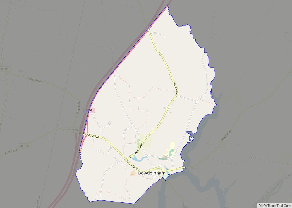
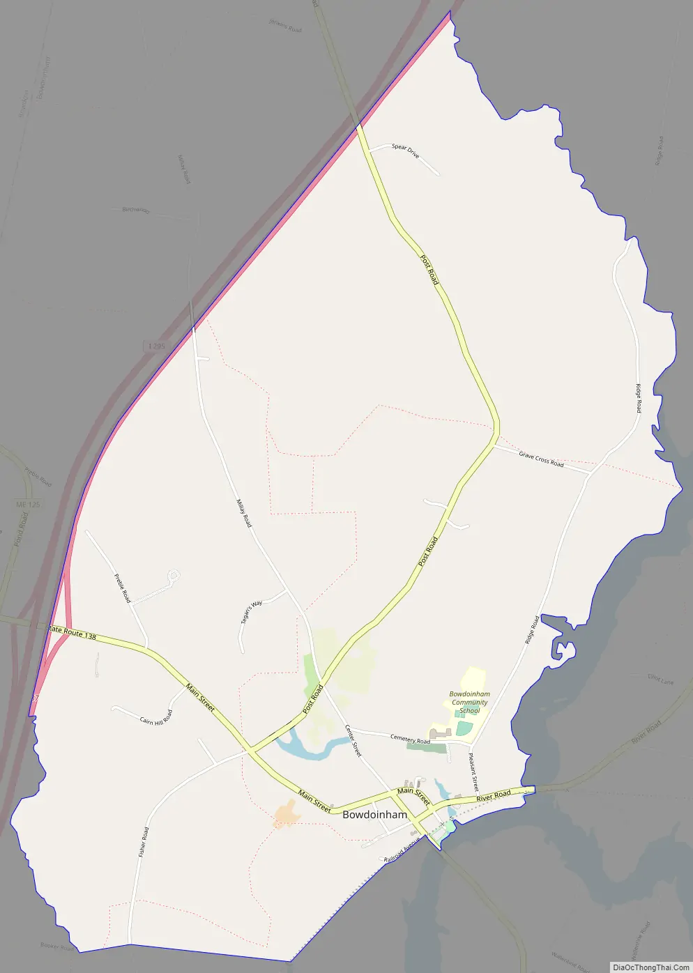
Bowdoinham Road Map
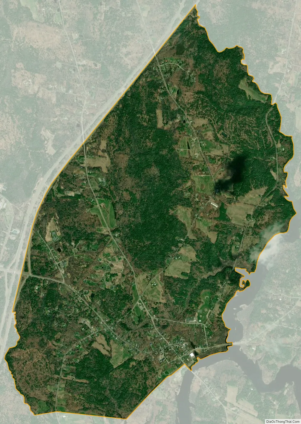
Bowdoinham city Satellite Map
Geography
According to the United States Census Bureau, the town has a total area of 39.20 square miles (101.53 km), of which, 34.40 square miles (89.10 km) of it is land and 4.80 square miles (12.43 km) is water. Situated beside Merrymeeting Bay, Bowdoinham is drained by the Cathance River, Abagadasset River, Muddy River and Kennebec River.
The town is crossed by Interstate 295 and state routes 24, 125 and 138. It borders the towns of Richmond to the north, Bowdoin to the west, and Topsham to the south.
See also
Map of Maine State and its subdivision: Map of other states:- Alabama
- Alaska
- Arizona
- Arkansas
- California
- Colorado
- Connecticut
- Delaware
- District of Columbia
- Florida
- Georgia
- Hawaii
- Idaho
- Illinois
- Indiana
- Iowa
- Kansas
- Kentucky
- Louisiana
- Maine
- Maryland
- Massachusetts
- Michigan
- Minnesota
- Mississippi
- Missouri
- Montana
- Nebraska
- Nevada
- New Hampshire
- New Jersey
- New Mexico
- New York
- North Carolina
- North Dakota
- Ohio
- Oklahoma
- Oregon
- Pennsylvania
- Rhode Island
- South Carolina
- South Dakota
- Tennessee
- Texas
- Utah
- Vermont
- Virginia
- Washington
- West Virginia
- Wisconsin
- Wyoming