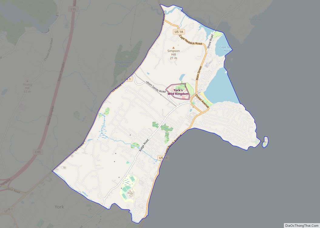
Cape Neddick is a census-designated place (CDP) in the town of York in York County, Maine, United States. The population was 2,568 at the 2010 census. It is part of the Portland–South Portland–Biddeford, Maine Metropolitan Statistical Area.
| Name: | Cape Neddick CDP |
|---|---|
| LSAD Code: | 57 |
| LSAD Description: | CDP (suffix) |
| State: | Maine |
| County: | York County |
| Elevation: | 39 ft (12 m) |
| Total Area: | 3.96 sq mi (10.27 km²) |
| Land Area: | 3.73 sq mi (9.66 km²) |
| Water Area: | 0.23 sq mi (0.61 km²) |
| Total Population: | 3,037 |
| Population Density: | 813.99/sq mi (314.28/km²) |
| ZIP code: | 03902 |
| Area code: | 207 |
| FIPS code: | 2310320 |
| GNISfeature ID: | 0563478 |
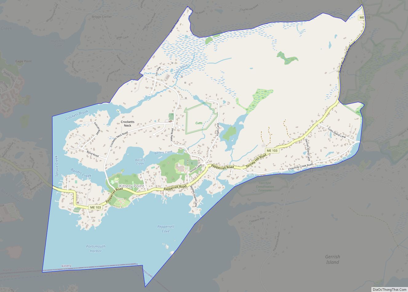
Online Interactive Map
Click on ![]() to view map in "full screen" mode.
to view map in "full screen" mode.
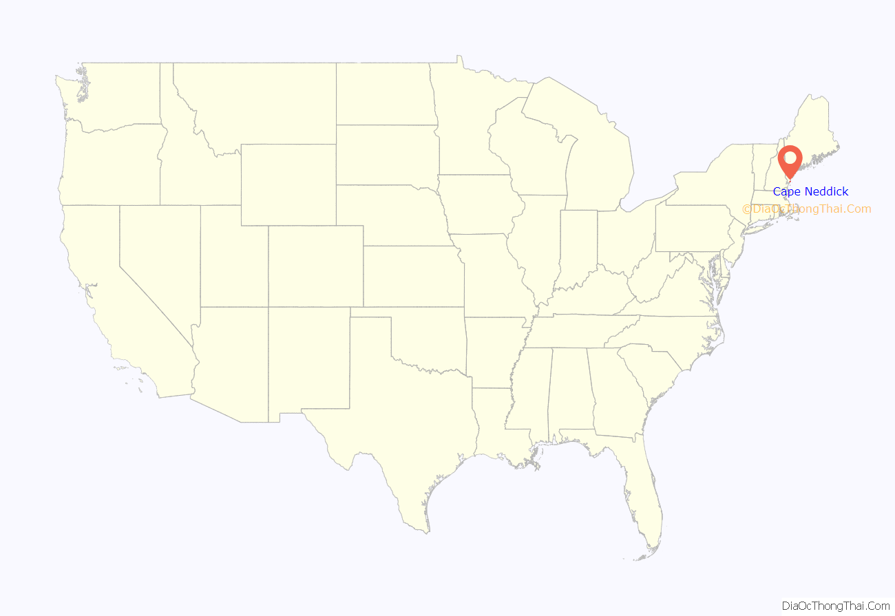
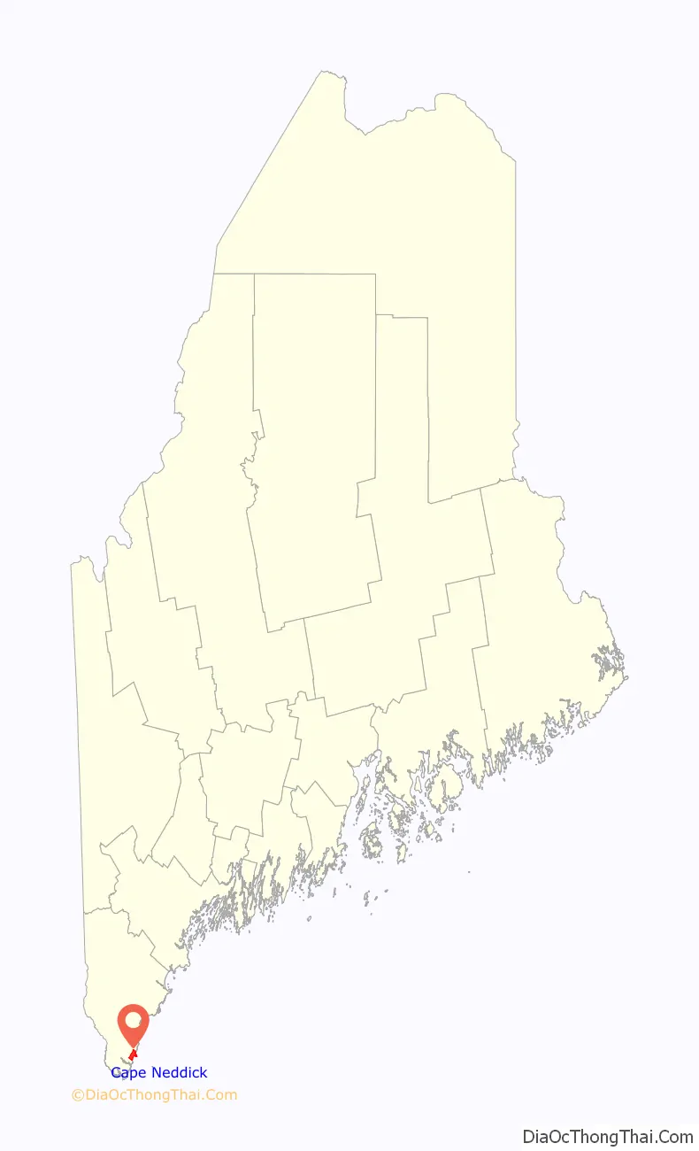
Cape Neddick location map. Where is Cape Neddick CDP?
History
Before 1655 Cape Neddick was inhabited by John Gooch, Peter Weare, Edward Wanton, Sylvester Stover and Thomas Wheelwright and their families.
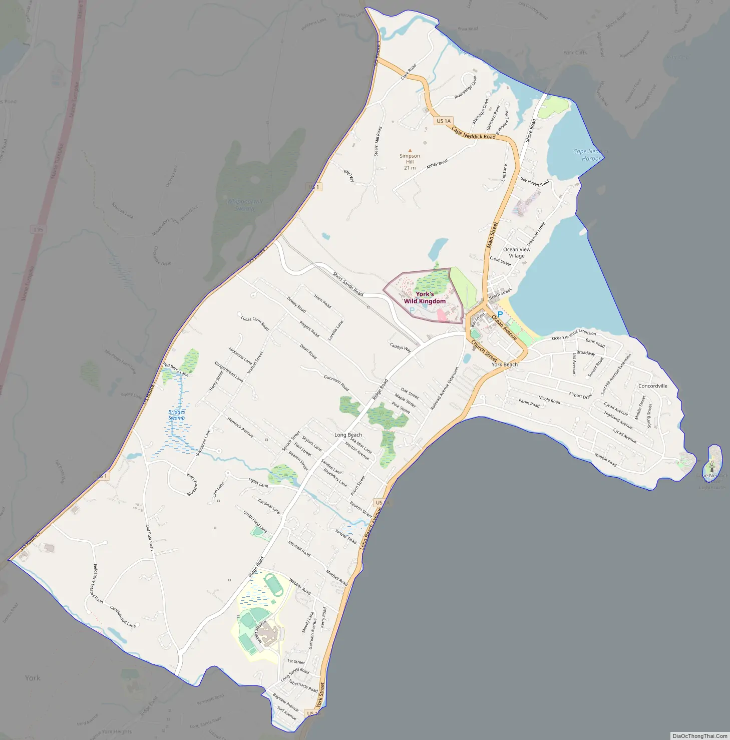
Cape Neddick Road Map
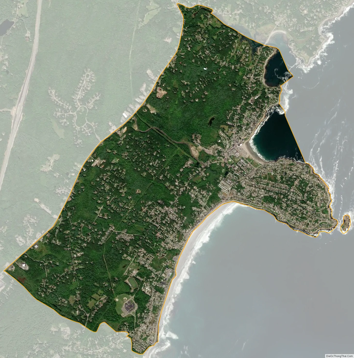
Cape Neddick city Satellite Map
Geography
Cape Neddick is located at 43°10′8″N 70°37′2″W / 43.16889°N 70.61722°W / 43.16889; -70.61722 (43.169023, -70.617341). The CDP as defined includes all of the physical peninsula known as Cape Neddick, plus all of the unincorporated community of York Beach, which consists of two beaches, one on either side of Cape Neddick. The northern limit of the CDP is Cape Neddick Harbor, the western limit is Route 1, and the southern boundary is the border with York Harbor. According to the United States Census Bureau, the CDP has a total area of 4.0 square miles (10 km), of which 3.7 square miles (9.6 km) is land and 0.2 square miles (0.52 km) of it, or 6.03%, is water.
Cape Neddick Light, also known as Nubble Lighthouse, is the most distinctive feature of the community. Construction began in 1876 and cost $15,000. It was first illuminated on July 1, 1879. The lighthouse was originally red but has been painted white since 1902. The distinctive red house was also built in 1902. The tower stands 41 feet (12 m) tall. The lighthouse became automated in 1987.
Climate
See also
Map of Maine State and its subdivision: Map of other states:- Alabama
- Alaska
- Arizona
- Arkansas
- California
- Colorado
- Connecticut
- Delaware
- District of Columbia
- Florida
- Georgia
- Hawaii
- Idaho
- Illinois
- Indiana
- Iowa
- Kansas
- Kentucky
- Louisiana
- Maine
- Maryland
- Massachusetts
- Michigan
- Minnesota
- Mississippi
- Missouri
- Montana
- Nebraska
- Nevada
- New Hampshire
- New Jersey
- New Mexico
- New York
- North Carolina
- North Dakota
- Ohio
- Oklahoma
- Oregon
- Pennsylvania
- Rhode Island
- South Carolina
- South Dakota
- Tennessee
- Texas
- Utah
- Vermont
- Virginia
- Washington
- West Virginia
- Wisconsin
- Wyoming