Farmingdale is a census-designated place (CDP) in the town of Farmingdale in Kennebec County, Maine, United States. The population was 1,970 at the 2010 census, out of 2,956 in the entire town.
| Name: | Farmingdale CDP |
|---|---|
| LSAD Code: | 57 |
| LSAD Description: | CDP (suffix) |
| State: | Maine |
| County: | Kennebec County |
| Elevation: | 52 ft (16 m) |
| Total Area: | 2.58 sq mi (6.69 km²) |
| Land Area: | 2.38 sq mi (6.16 km²) |
| Water Area: | 0.20 sq mi (0.53 km²) |
| Total Population: | 2,000 |
| Population Density: | 841.40/sq mi (324.87/km²) |
| ZIP code: | 04344 |
| Area code: | 207 |
| FIPS code: | 2324635 |
| GNISfeature ID: | 0566053 |
Online Interactive Map
Click on ![]() to view map in "full screen" mode.
to view map in "full screen" mode.
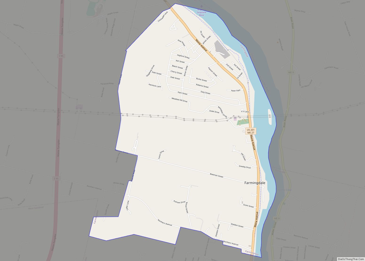
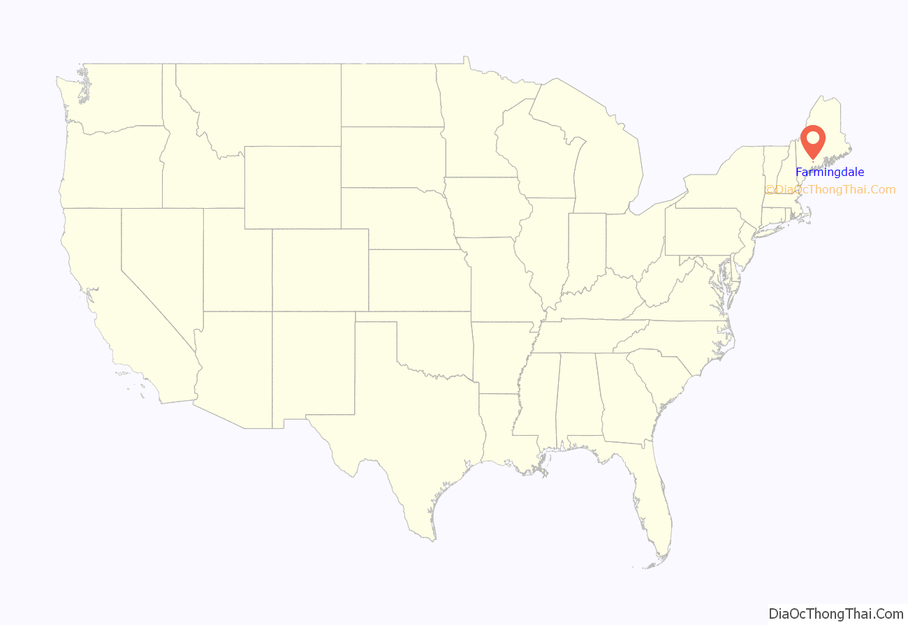
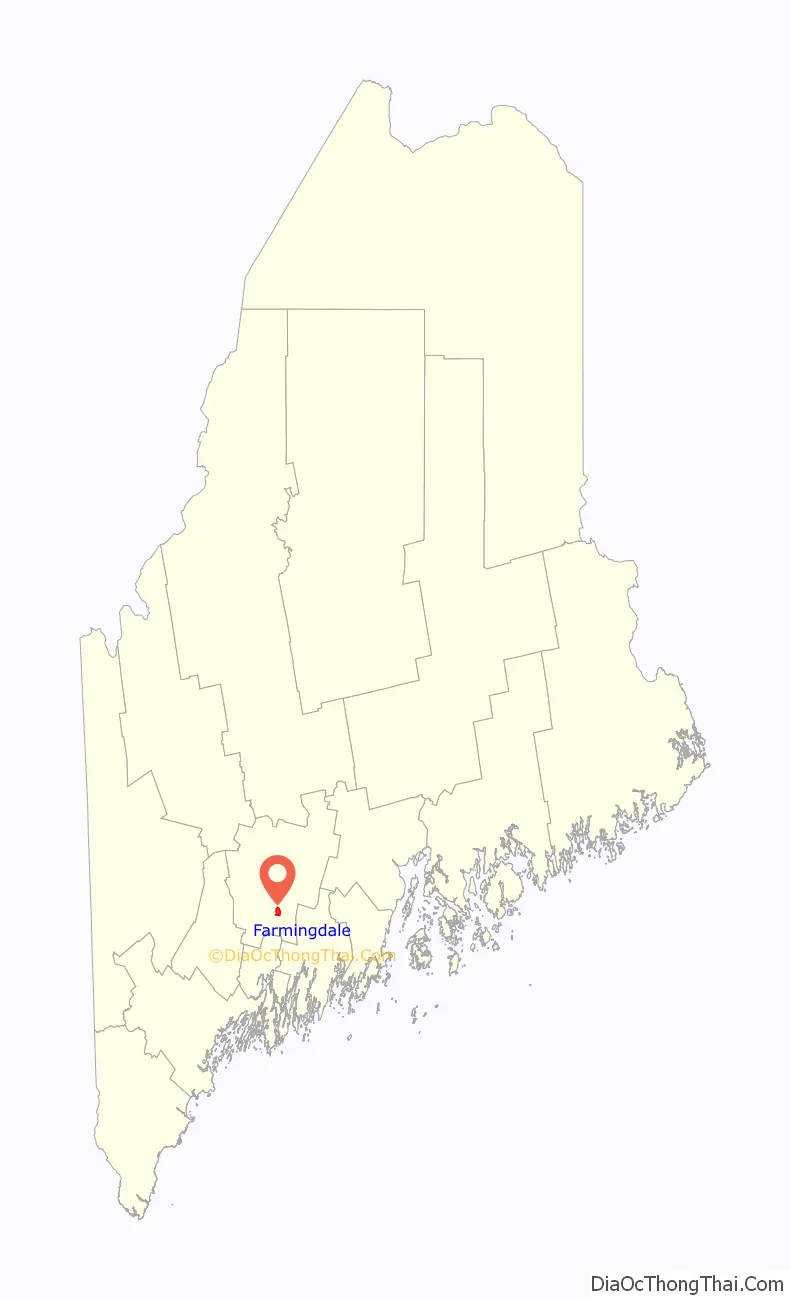
Farmingdale location map. Where is Farmingdale CDP?
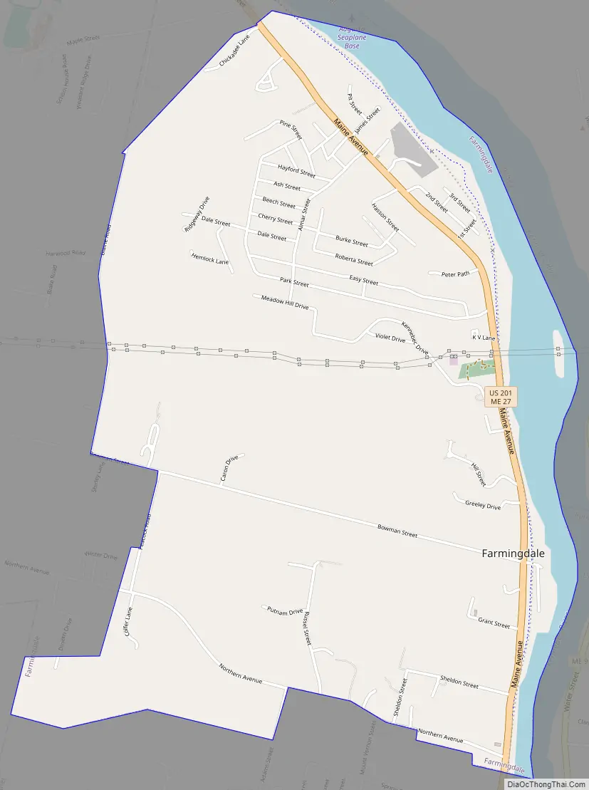
Farmingdale Road Map
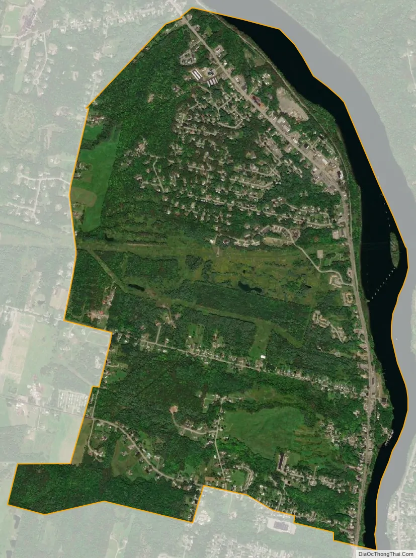
Farmingdale city Satellite Map
Geography
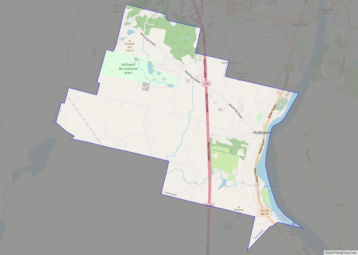
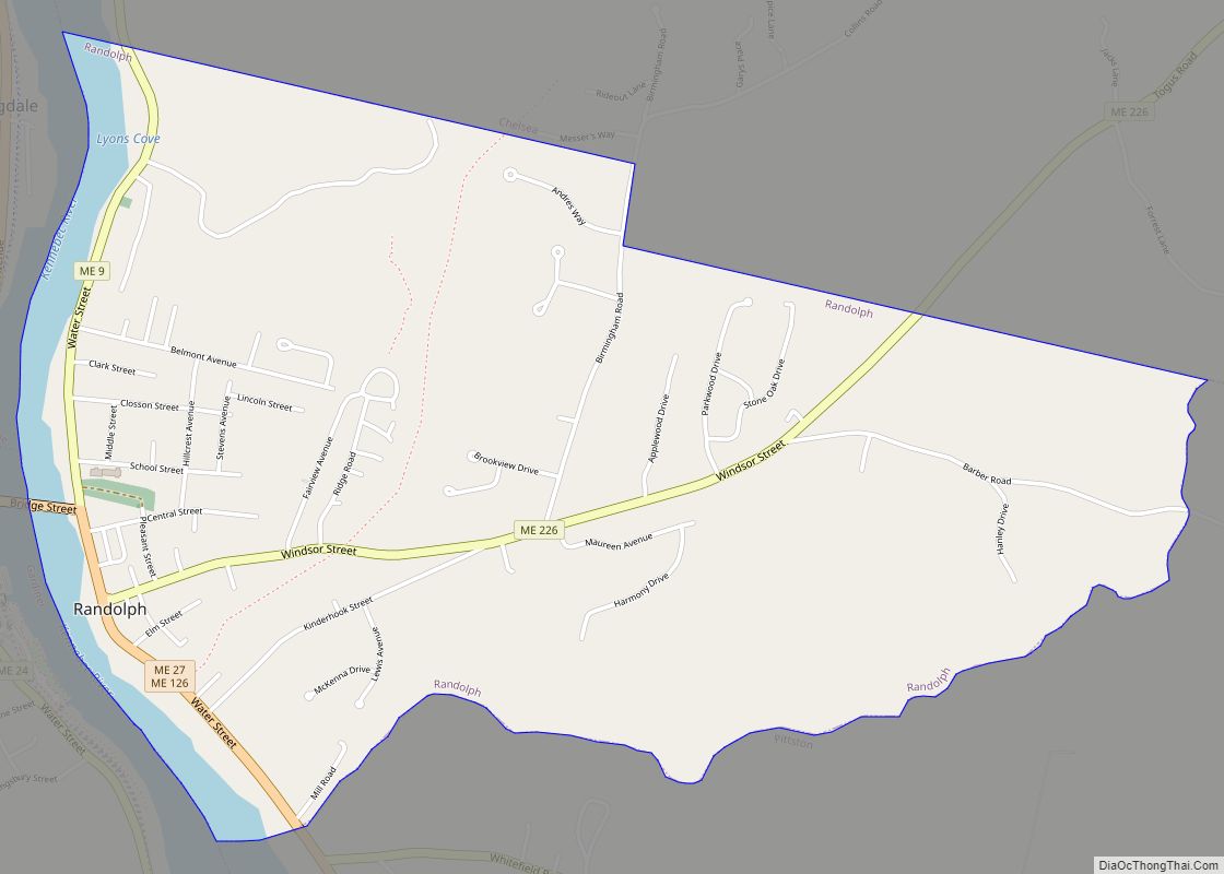
Farmingdale is located in southern Kennebec County at 44°15′15″N 69°46′41″W / 44.25417°N 69.77806°W / 44.25417; -69.77806 (44.254253, −69.778199). It occupies the eastern part of the town of Farmingdale and is bordered to the north by the city of Hallowell, to the south by the city of Gardiner, and to the east across the Kennebec River by the towns of Chelsea and Randolph. The western boundary of the CDP follows Blaine Road, Bowman Street, and Peacock Road.
U.S. Route 201 and Maine State Route 27 run through the community as Maine Avenue, leading north into Hallowell and 5 miles (8 km) to Augusta, the state capital. To the southwest US 201 leads through Gardiner and 26 miles (42 km) to Brunswick, while SR 27 crosses the Kennebec to pass through Randolph and leads southeast 18 miles (29 km) to Wiscasset.
According to the United States Census Bureau, the Farmingdale CDP has a total area of 2.6 square miles (6.7 km), of which 2.4 square miles (6.2 km) are land and 0.2 square miles (0.5 km), or 7.93%, are water.
See also
Map of Maine State and its subdivision: Map of other states:- Alabama
- Alaska
- Arizona
- Arkansas
- California
- Colorado
- Connecticut
- Delaware
- District of Columbia
- Florida
- Georgia
- Hawaii
- Idaho
- Illinois
- Indiana
- Iowa
- Kansas
- Kentucky
- Louisiana
- Maine
- Maryland
- Massachusetts
- Michigan
- Minnesota
- Mississippi
- Missouri
- Montana
- Nebraska
- Nevada
- New Hampshire
- New Jersey
- New Mexico
- New York
- North Carolina
- North Dakota
- Ohio
- Oklahoma
- Oregon
- Pennsylvania
- Rhode Island
- South Carolina
- South Dakota
- Tennessee
- Texas
- Utah
- Vermont
- Virginia
- Washington
- West Virginia
- Wisconsin
- Wyoming