Winslow is a town and census-designated place in Kennebec County, Maine, United States, along the Kennebec River across from Waterville. The population was 7,948 at the 2020 census.
| Name: | Winslow CDP |
|---|---|
| LSAD Code: | 57 |
| LSAD Description: | CDP (suffix) |
| State: | Maine |
| County: | Kennebec County |
| Incorporated: | April 26, 1771 |
| Elevation: | 266 ft (81 m) |
| Total Area: | 6.61 sq mi (17.11 km²) |
| Land Area: | 5.99 sq mi (15.52 km²) |
| Water Area: | 0.61 sq mi (1.58 km²) |
| Total Population: | 7,948 |
| Population Density: | 887.22/sq mi (342.58/km²) |
| ZIP code: | 04901 |
| Area code: | 207 |
| FIPS code: | 2386480 |
| GNISfeature ID: | 0582820 |
| Website: | www.winslowmaine.org |
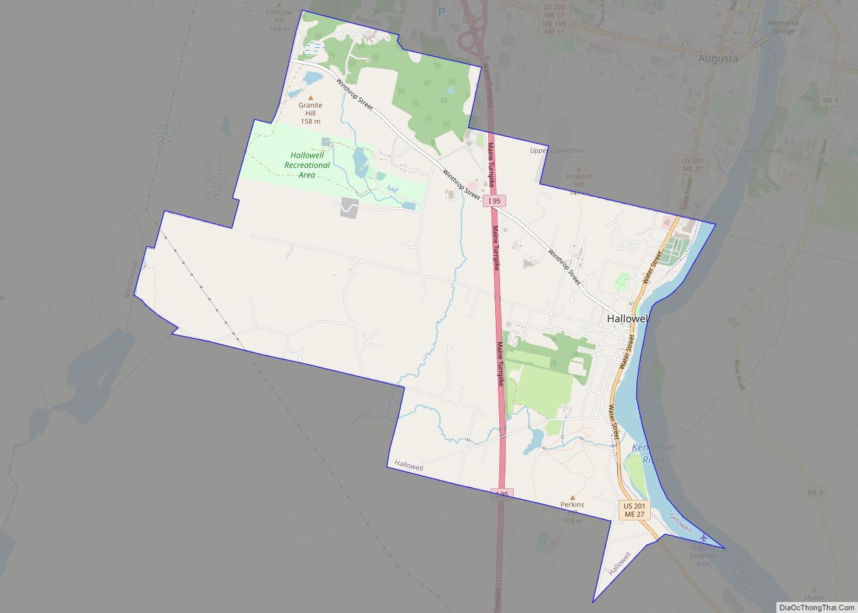
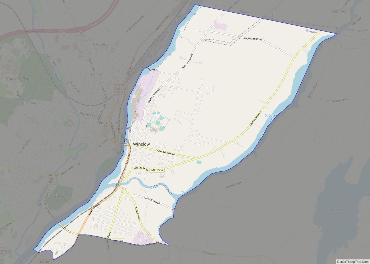
Online Interactive Map
Click on ![]() to view map in "full screen" mode.
to view map in "full screen" mode.
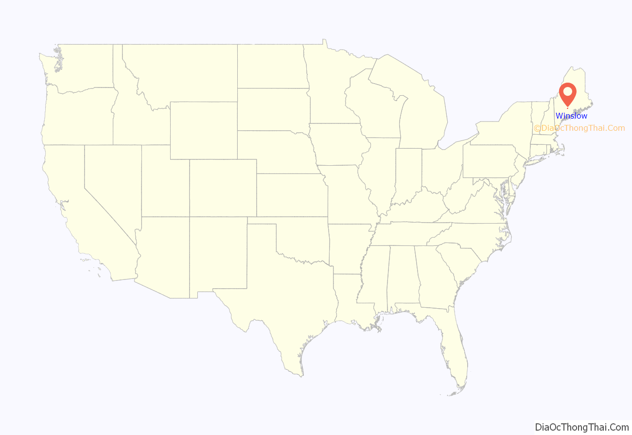
Winslow location map. Where is Winslow CDP?

History
Winslow was originally an Indian settlement named Taconock. During King William’s War, Major Benjamin Church led his third expedition east from Boston in 1692. During this expedition he and 450 troops raided the native villages at both Penobscot (Castine, Maine) and present-day Winslow.
Winslow was then settled by colonists from Plymouth Colony. The area was covered by the land patent given by the English Crown to Pilgrim governor William Bradford and his associates. The earliest settlers had such Old Colony and Pilgrim names as Winslow, Bradford, Warren, and Otis. Descendants of those early settlers can still be found in the town.
In 1754, Fort Halifax was built by order of the Massachusetts General Court on the peninsula at the confluence of the Sebasticook and Kennebec rivers. A settlement subsequently sprang up under its protection, and was named in honor of General John Winslow, of Marshfield, Massachusetts, who had overseen the fort’s construction. General Winslow was a descendant of Edward Winslow, a Pilgrim governor of Plymouth Colony who arrived on the Mayflower and founded the town of Marshfield. General Winslow lived in the mansion built in 1699 by his father, Isaac Winslow. The historic Winslow House still stands today in Marshfield and is on the National Register of Historic Places.
The Sebasticook and Kennebec rivers provided major early routes to transport food, goods, and more settlers. Benedict Arnold followed the Kennebec River north in 1775, stopping at Fort Halifax in Winslow on his ill-fated attempt to invade Canada. The Fort Halifax blockhouse, the nation’s oldest wooden structure of its type, was rebuilt after the original was swept down the Kennebec River by raging flood waters on April 1, 1987.
Thousands of Irish and French Canadian immigrants used the Old Canada Road (now a scenic byway) section of U.S. Route 201 during the 19th century to find seasonal or project employment, and later made the Kennebec River Valley region their home. Early Winslow settlers used water power for industrial development. Modern Winslow developed around the Hollingsworth & Whitney Company paper mill, located along the Kennebec River. The mill was later purchased by the Scott Paper Company, whose 1995 merger with Kimberly-Clark led to the factory’s closure in 1997. Winslow’s industrial decline started in the 1980s, although some small light industry still exists, and new businesses continue to move into the town. Despite this, the service sector remains limited. Today, Winslow is a bedroom community for some middle- and upper-middle-class families who work in nearby Waterville and Augusta.
Scenes from the 2005 miniseries Empire Falls, starring Paul Newman, Ed Harris, and Helen Hunt, and based on the 2001 book Empire Falls by Richard Russo, were shot in Winslow. The town was home to the state’s largest 4 July fireworks display until it moved to Clinton, Maine in 2016.
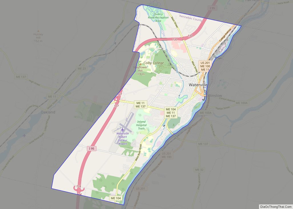
Winslow Road Map

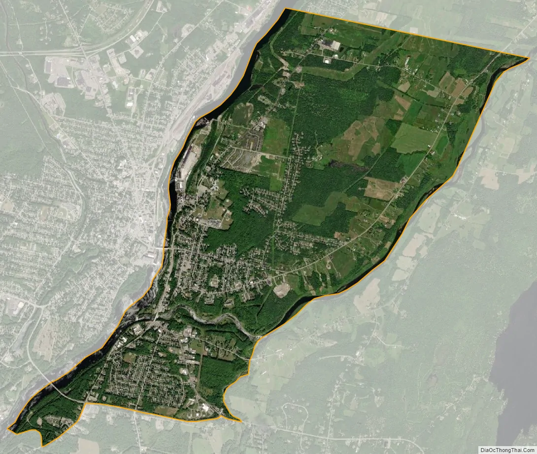
Winslow city Satellite Map
Geography
Winslow is located at 44°32′33″N 69°36′18″W / 44.542428°N 69.605101°W / 44.542428; -69.605101 (44.542428, −69.605101).
According to the United States Census Bureau, the town has a total area of 38.67 square miles (100.15 km), of which 36.82 square miles (95.36 km) is land and 1.85 square miles (4.79 km) is water. Winslow is located at the confluence of the Sebasticook River with the Kennebec River.
The town is crossed by U.S. Route 201 and State Routes 11, 32, 100 and 137. It borders the towns of Benton to the north, Albion to the east, China to the southeast, Vassalboro to the south, and (across the Kennebec River) Waterville to the west.
See also
Map of Maine State and its subdivision: Map of other states:- Alabama
- Alaska
- Arizona
- Arkansas
- California
- Colorado
- Connecticut
- Delaware
- District of Columbia
- Florida
- Georgia
- Hawaii
- Idaho
- Illinois
- Indiana
- Iowa
- Kansas
- Kentucky
- Louisiana
- Maine
- Maryland
- Massachusetts
- Michigan
- Minnesota
- Mississippi
- Missouri
- Montana
- Nebraska
- Nevada
- New Hampshire
- New Jersey
- New Mexico
- New York
- North Carolina
- North Dakota
- Ohio
- Oklahoma
- Oregon
- Pennsylvania
- Rhode Island
- South Carolina
- South Dakota
- Tennessee
- Texas
- Utah
- Vermont
- Virginia
- Washington
- West Virginia
- Wisconsin
- Wyoming