Naples is a census-designated place (CDP) in the town of Naples in Cumberland County, Maine, United States. The population of the CDP was 428 at the 2010 census.
It is part of the Portland–South Portland–Biddeford, Maine Metropolitan Statistical Area.
| Name: | Naples CDP |
|---|---|
| LSAD Code: | 57 |
| LSAD Description: | CDP (suffix) |
| State: | Maine |
| County: | Cumberland County |
| Elevation: | 300 ft (90 m) |
| Total Area: | 3.35 sq mi (8.67 km²) |
| Land Area: | 2.59 sq mi (6.71 km²) |
| Water Area: | 0.76 sq mi (1.96 km²) |
| Total Population: | 415 |
| Population Density: | 160.17/sq mi (61.85/km²) |
| Area code: | 207 |
| FIPS code: | 2348050 |
Online Interactive Map
Click on ![]() to view map in "full screen" mode.
to view map in "full screen" mode.
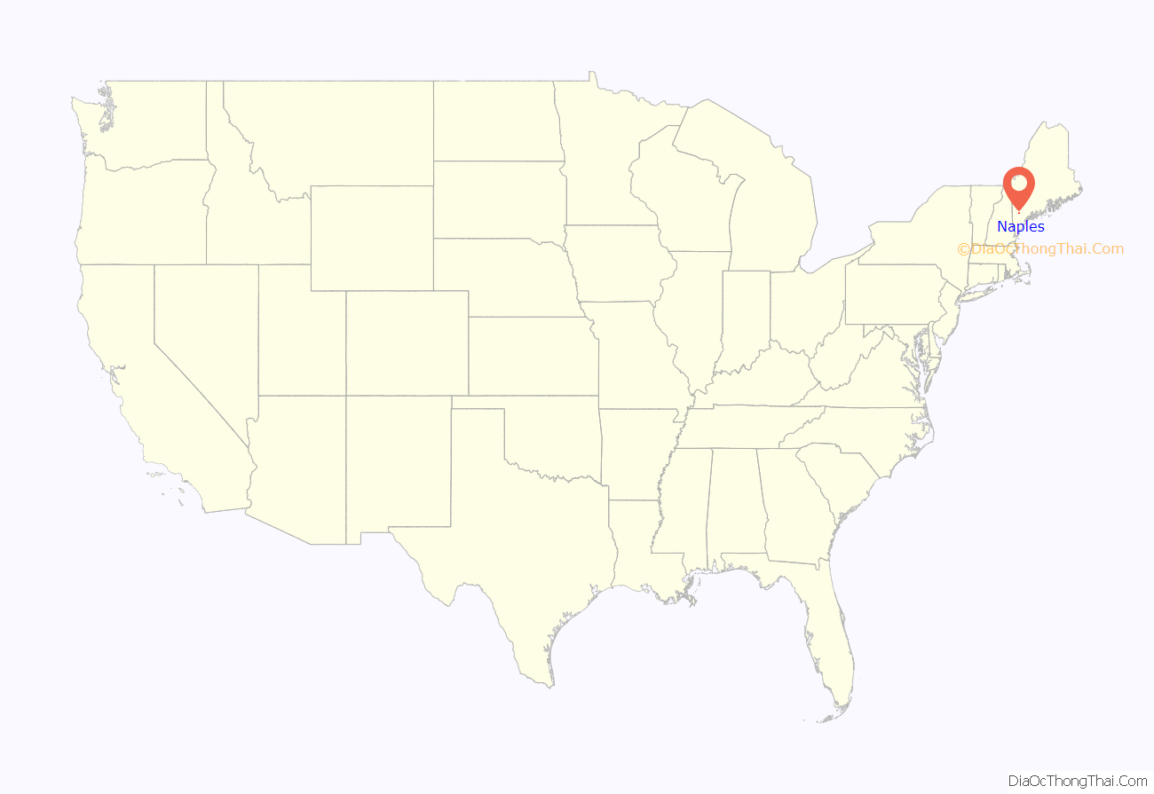
Naples location map. Where is Naples CDP?
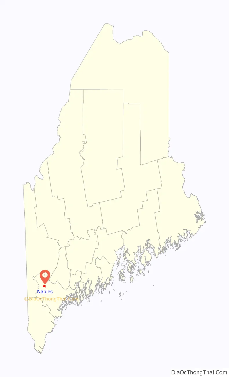
Naples Road Map
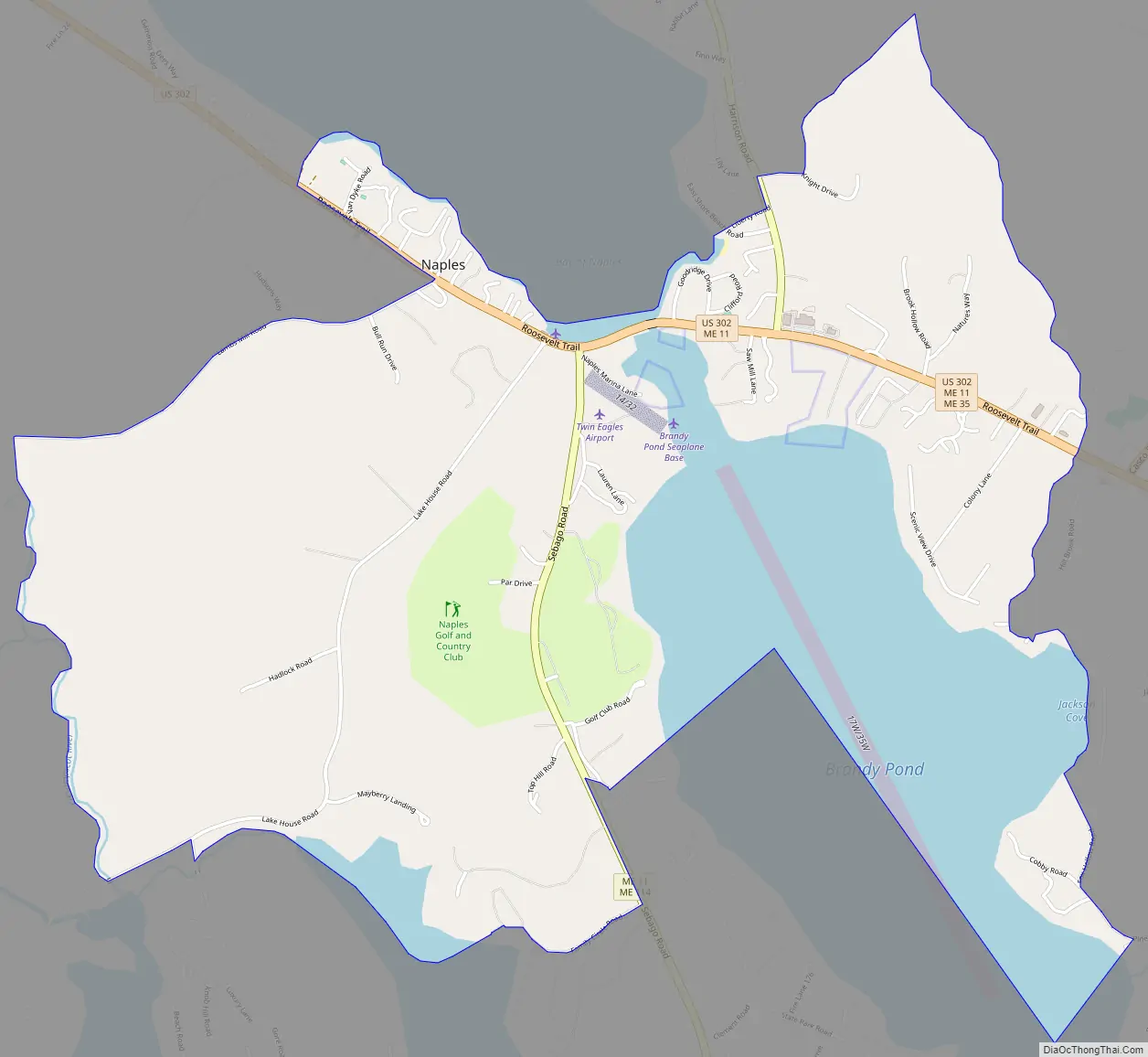
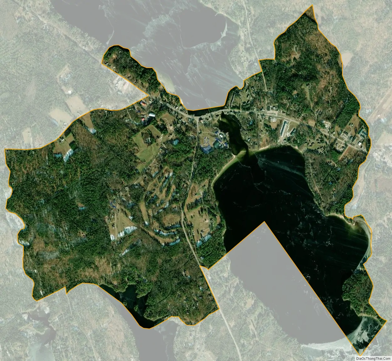
Naples city Satellite Map
Geography
Naples is located at 43°58′17″N 70°36′37″W / 43.97139°N 70.61028°W / 43.97139; -70.61028, at the south end of Long Lake and north end of Brandy Pond. According to the United States Census Bureau, the Naples CDP has a total area of 3.4 square miles (8.7 km), of which 2.6 square miles (6.7 km) is land and 0.77 square miles (2.0 km), or 22.72%, is water, consisting primarily of the north end of Brandy Pond.
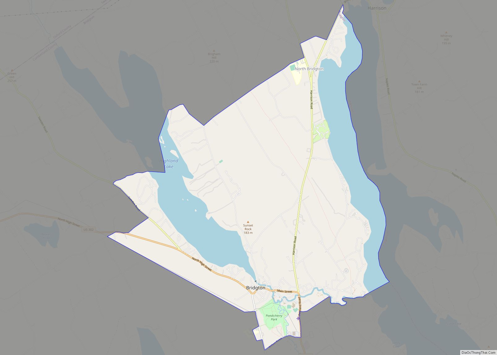
U.S. Route 302 passes through Naples, heading northwest to Bridgton and southeast to Windham and Portland. Maine State Route 11 intersects US 302, heading south to the western shore of Sebago Lake and northeast towards Poland and Mechanic Falls. Maine State Route 35 leaves US 302 in Naples and heads north to Harrison.
See also
Map of Maine State and its subdivision: Map of other states:- Alabama
- Alaska
- Arizona
- Arkansas
- California
- Colorado
- Connecticut
- Delaware
- District of Columbia
- Florida
- Georgia
- Hawaii
- Idaho
- Illinois
- Indiana
- Iowa
- Kansas
- Kentucky
- Louisiana
- Maine
- Maryland
- Massachusetts
- Michigan
- Minnesota
- Mississippi
- Missouri
- Montana
- Nebraska
- Nevada
- New Hampshire
- New Jersey
- New Mexico
- New York
- North Carolina
- North Dakota
- Ohio
- Oklahoma
- Oregon
- Pennsylvania
- Rhode Island
- South Carolina
- South Dakota
- Tennessee
- Texas
- Utah
- Vermont
- Virginia
- Washington
- West Virginia
- Wisconsin
- Wyoming