Standish, known locally as Standish Corner, is a census-designated place (CDP) in the town of Standish in Cumberland County, Maine, United States. The population was 469 at the 2010 census. It is part of the Portland–South Portland–Biddeford, Maine Metropolitan Statistical Area.
| Name: | Standish CDP |
|---|---|
| LSAD Code: | 57 |
| LSAD Description: | CDP (suffix) |
| State: | Maine |
| County: | Cumberland County |
| Elevation: | 433 ft (132 m) |
| Total Area: | 2.68 sq mi (6.94 km²) |
| Land Area: | 2.68 sq mi (6.94 km²) |
| Water Area: | 0.00 sq mi (0.00 km²) |
| Total Population: | 480 |
| Population Density: | 179.24/sq mi (69.19/km²) |
| Area code: | 207 |
| FIPS code: | 2373635 |
Online Interactive Map
Click on ![]() to view map in "full screen" mode.
to view map in "full screen" mode.
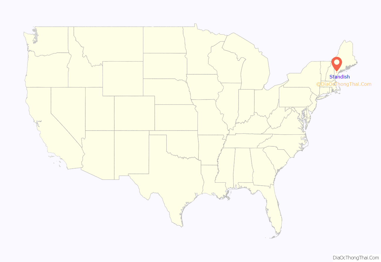
Standish location map. Where is Standish CDP?
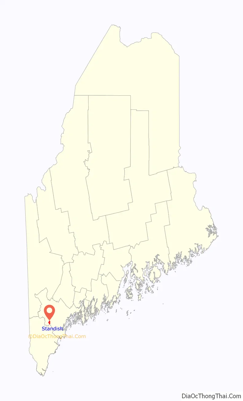
Standish Road Map
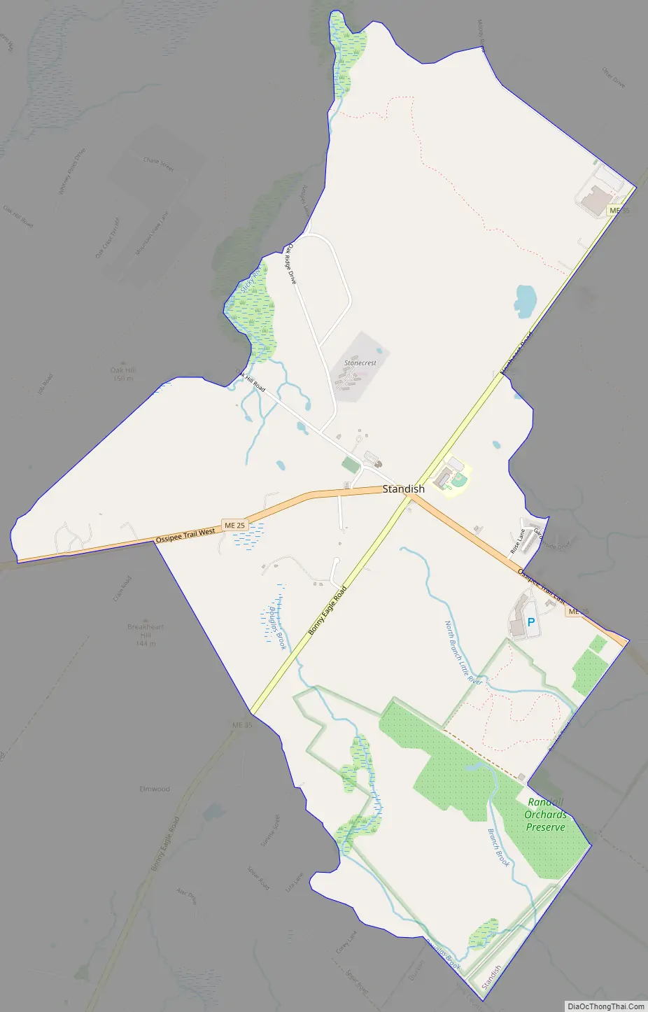
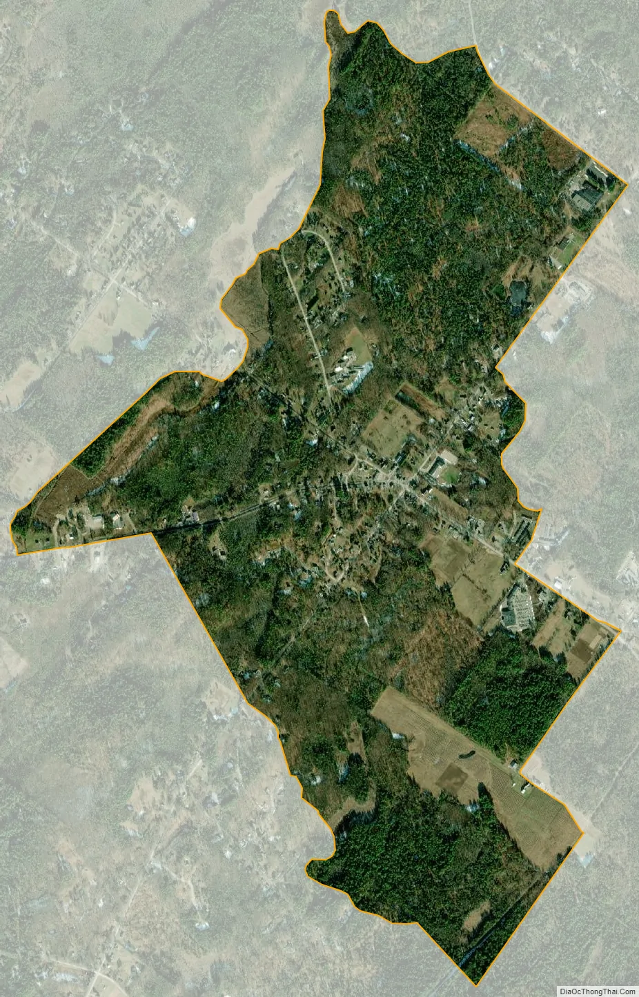
Standish city Satellite Map
Geography
Standish is located at 43°44′7″N 70°33′9″W / 43.73528°N 70.55250°W / 43.73528; -70.55250 (43.7353, -70.5525), at the intersection of Maine State Routes 25 and 35. Route 25 runs west towards New Hampshire and east to Gorham and Portland, while Route 35 travels north towards North Windham and south to Buxton, Hollis and eventually Kennebunk.
According to the United States Census Bureau, the Standish CDP has a total area of 2.7 square miles (6.9 km), all land.
See also
Map of Maine State and its subdivision: Map of other states:- Alabama
- Alaska
- Arizona
- Arkansas
- California
- Colorado
- Connecticut
- Delaware
- District of Columbia
- Florida
- Georgia
- Hawaii
- Idaho
- Illinois
- Indiana
- Iowa
- Kansas
- Kentucky
- Louisiana
- Maine
- Maryland
- Massachusetts
- Michigan
- Minnesota
- Mississippi
- Missouri
- Montana
- Nebraska
- Nevada
- New Hampshire
- New Jersey
- New Mexico
- New York
- North Carolina
- North Dakota
- Ohio
- Oklahoma
- Oregon
- Pennsylvania
- Rhode Island
- South Carolina
- South Dakota
- Tennessee
- Texas
- Utah
- Vermont
- Virginia
- Washington
- West Virginia
- Wisconsin
- Wyoming