Steep Falls is a census-designated place (CDP) in the town of Standish in Cumberland County, Maine, United States. The population was 1,139 at the 2010 census. It is part of the Portland–South Portland–Biddeford, Maine Metropolitan Statistical Area. The town is part of Maine School Administrative District #6, which includes Bonny Eagle Middle and High Schools.
| Name: | Steep Falls CDP |
|---|---|
| LSAD Code: | 57 |
| LSAD Description: | CDP (suffix) |
| State: | Maine |
| County: | Cumberland County |
| Elevation: | 303 ft (92 m) |
| Total Area: | 10.20 sq mi (26.41 km²) |
| Land Area: | 10.03 sq mi (25.99 km²) |
| Water Area: | 0.16 sq mi (0.42 km²) |
| Total Population: | 1,223 |
| Population Density: | 121.89/sq mi (47.06/km²) |
| Area code: | 207 |
| FIPS code: | 2373985 |
Online Interactive Map
Click on ![]() to view map in "full screen" mode.
to view map in "full screen" mode.
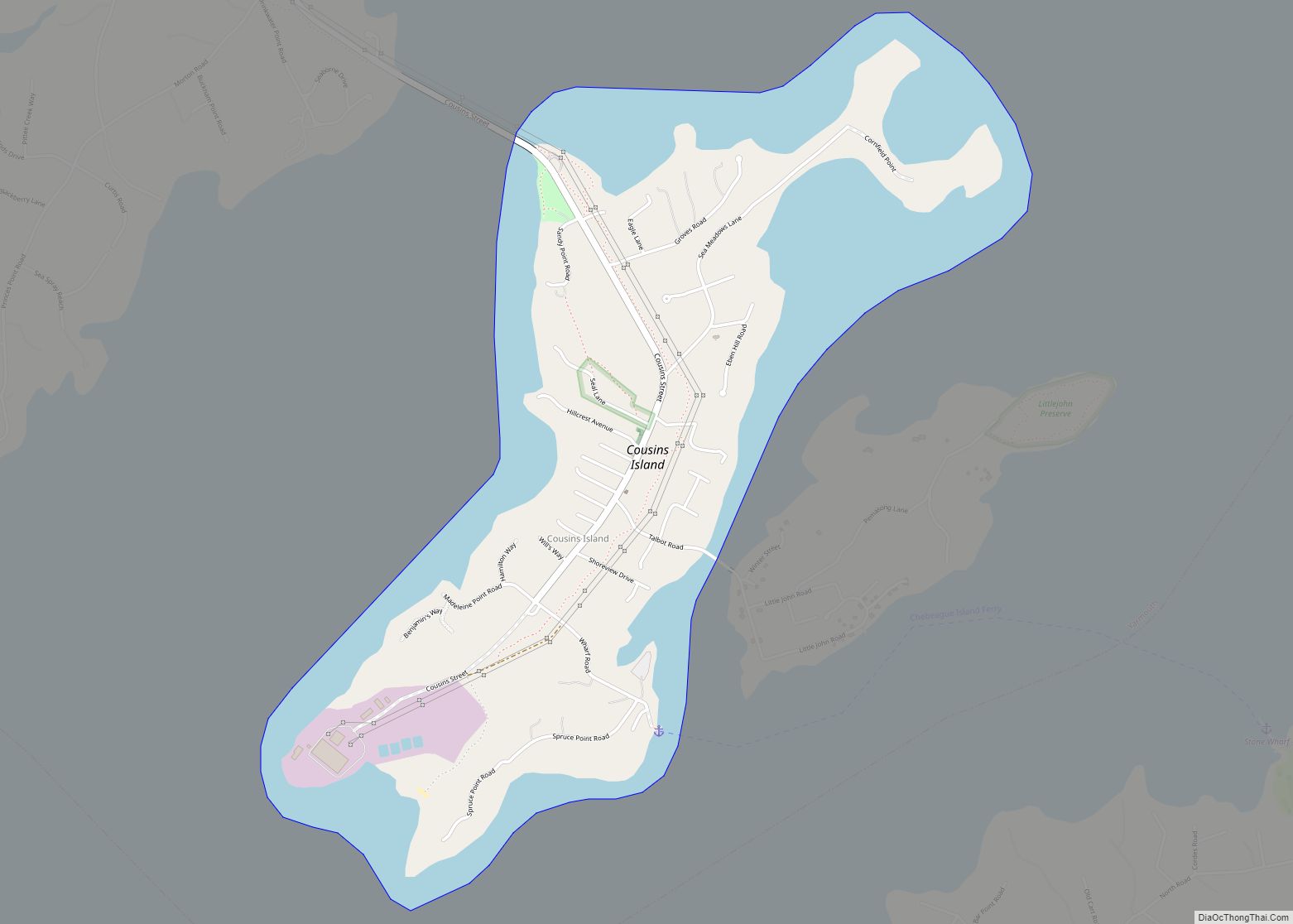
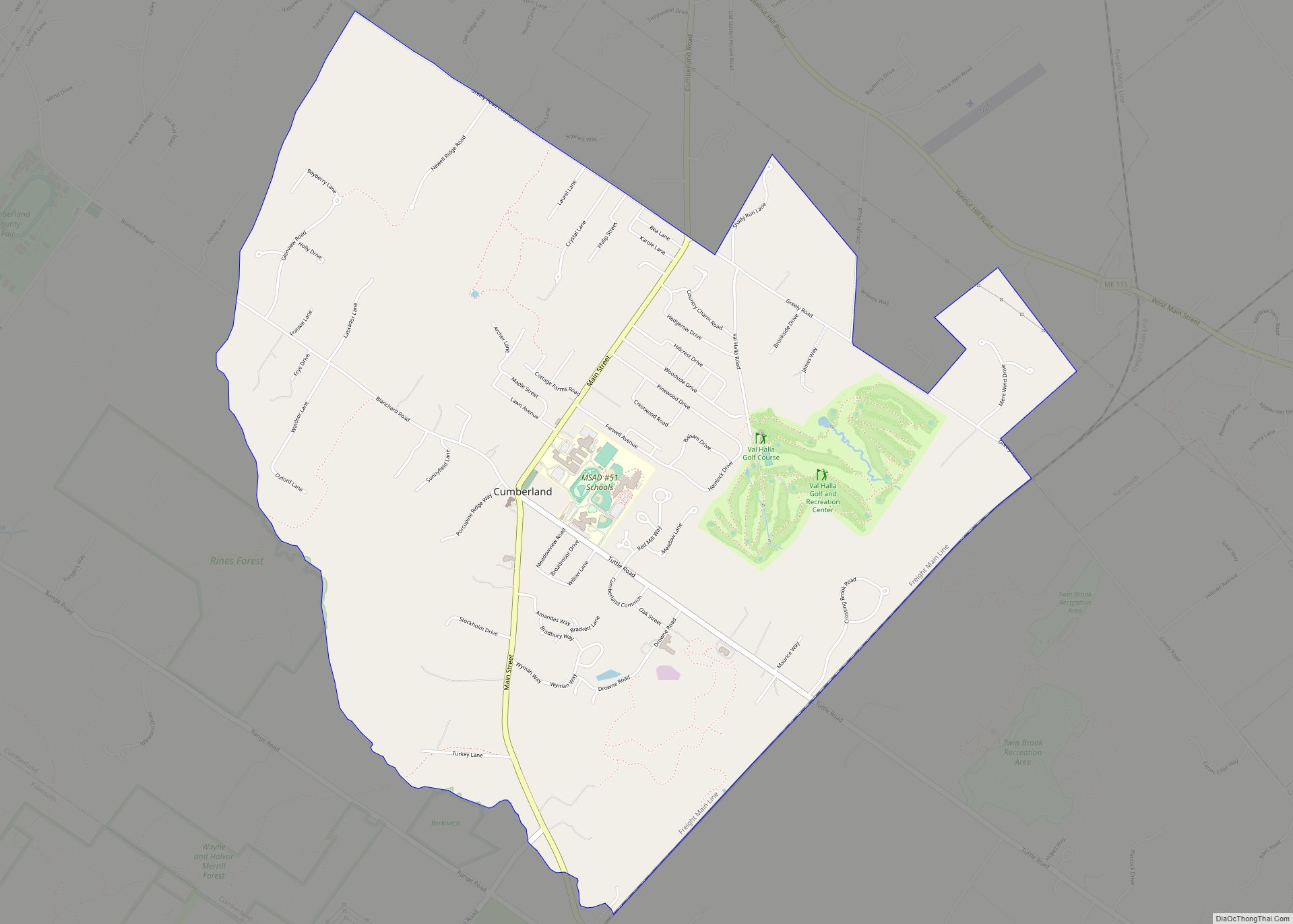
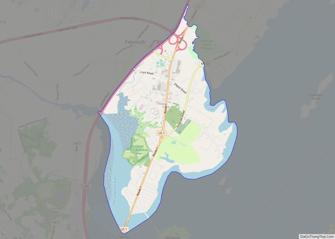
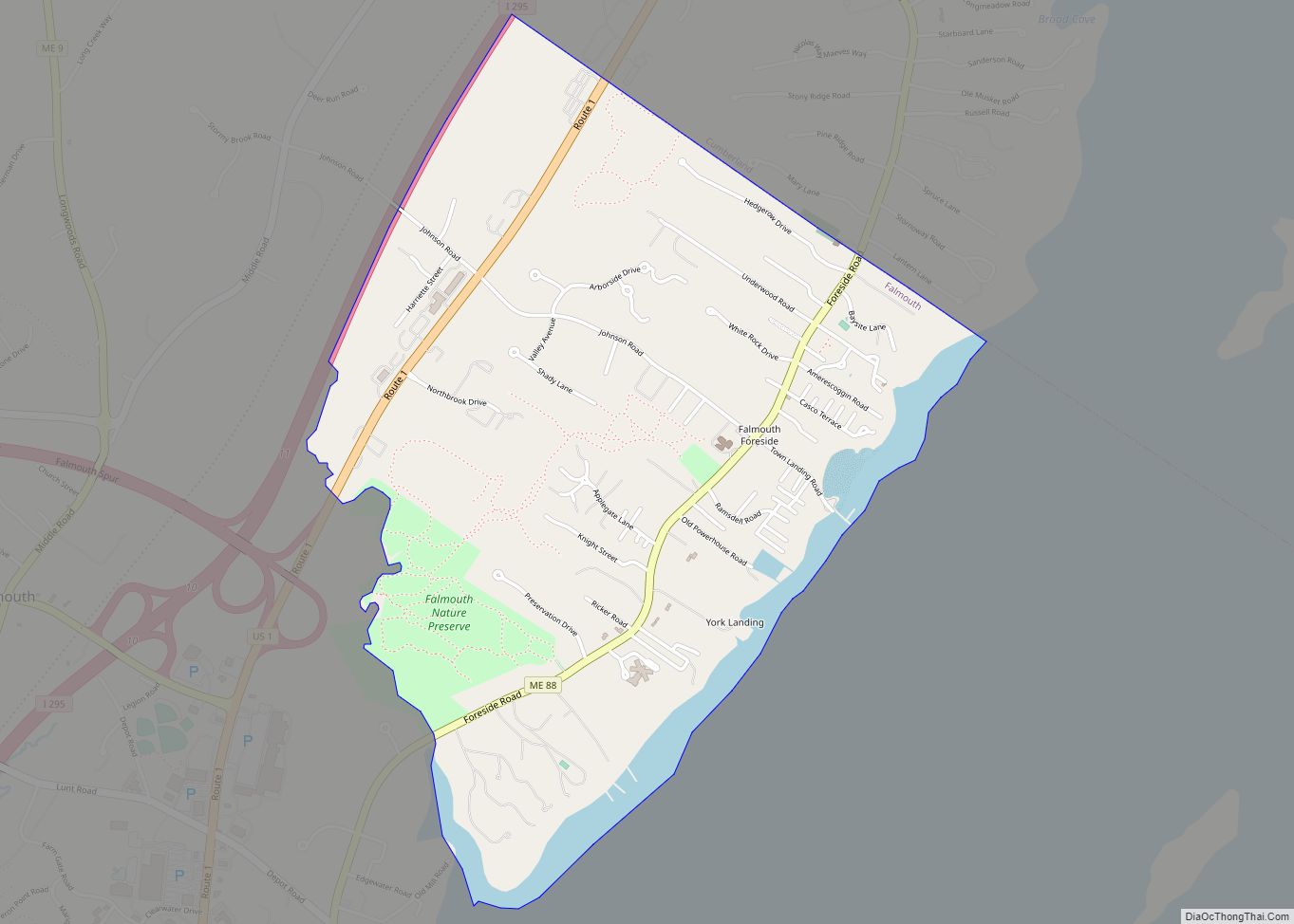
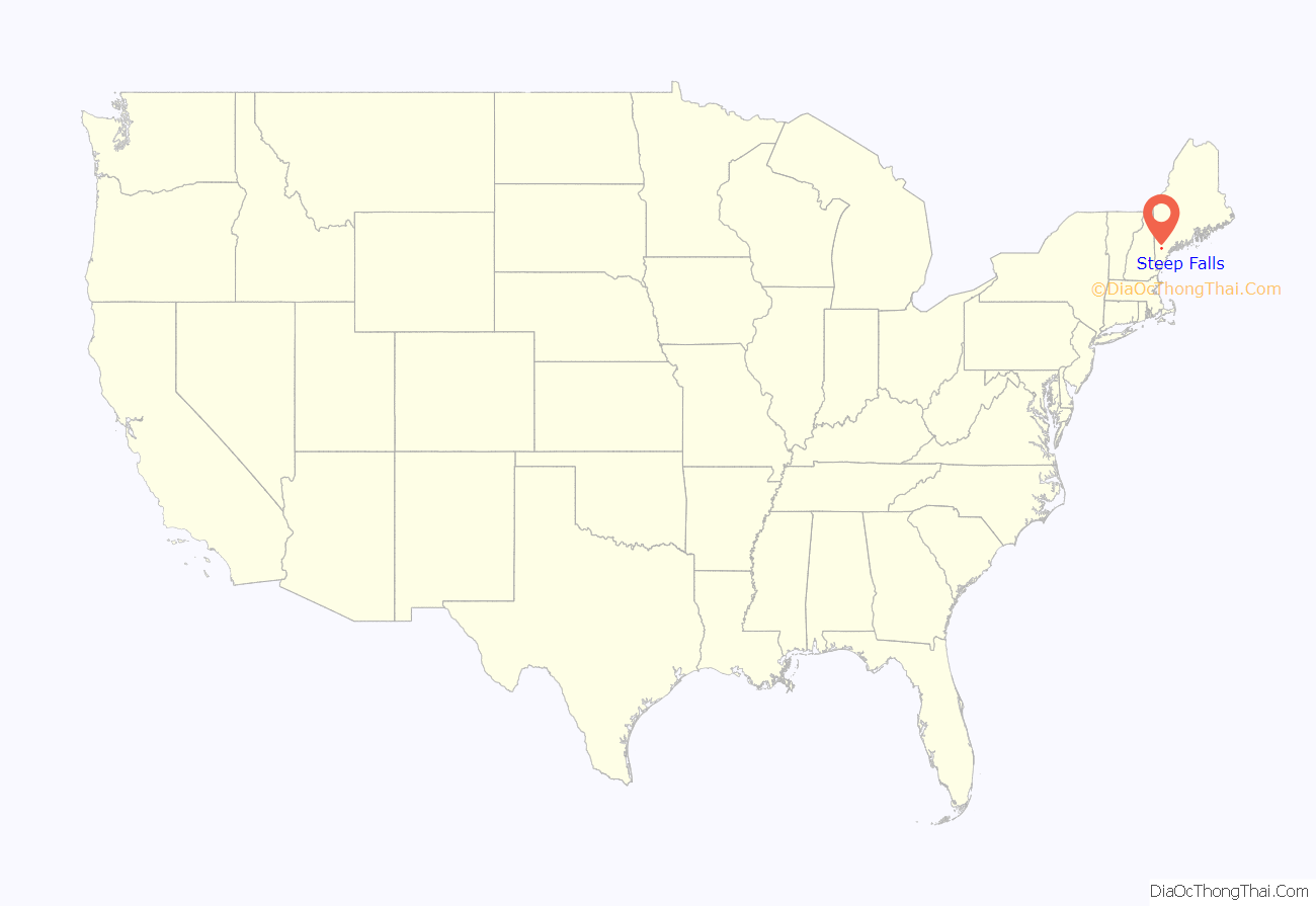
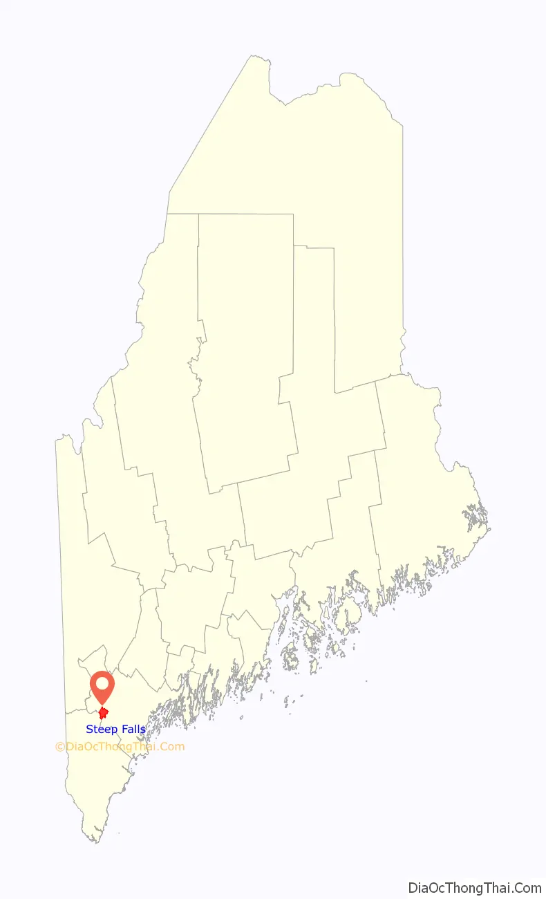
Steep Falls location map. Where is Steep Falls CDP?
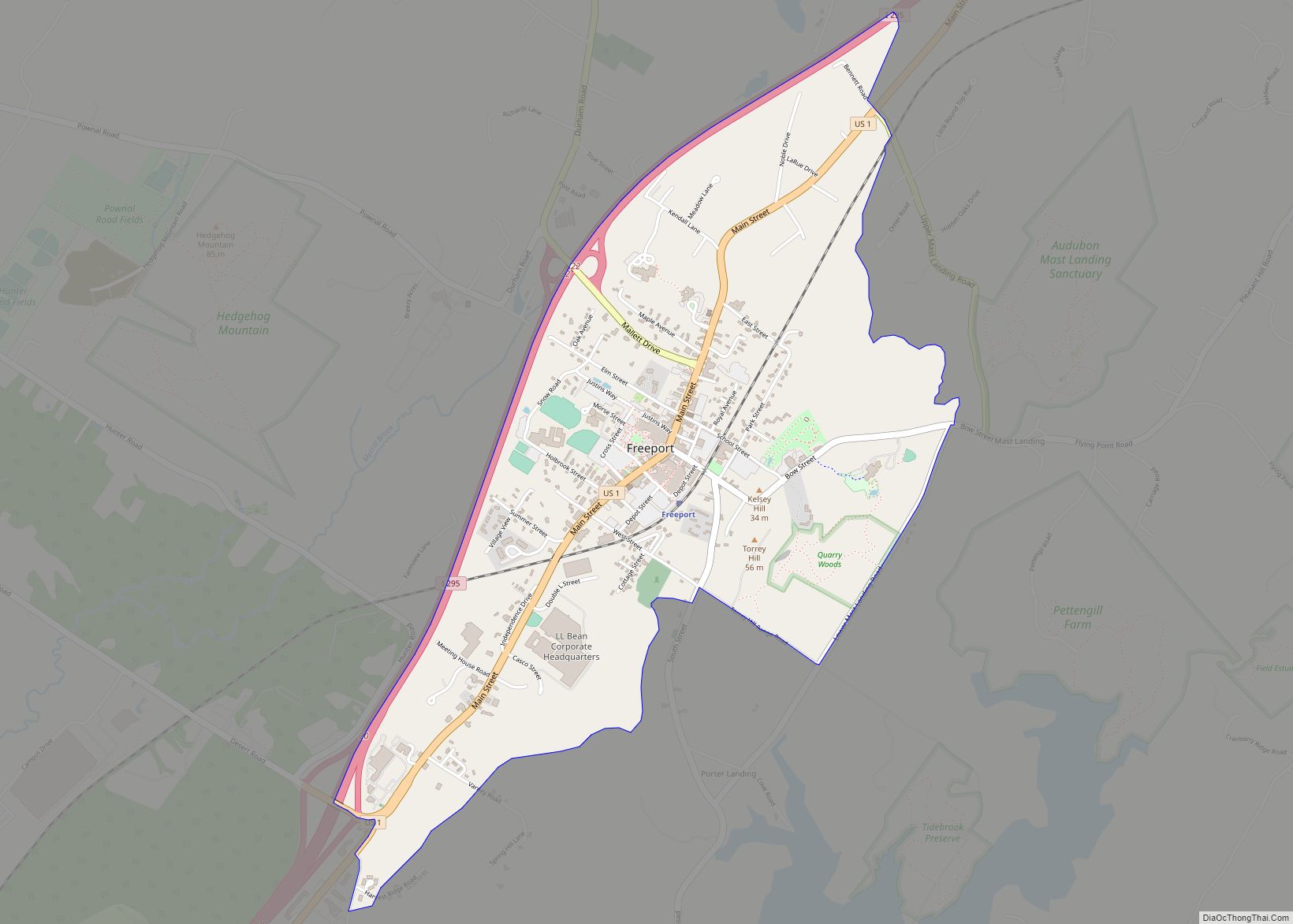
Steep Falls Road Map
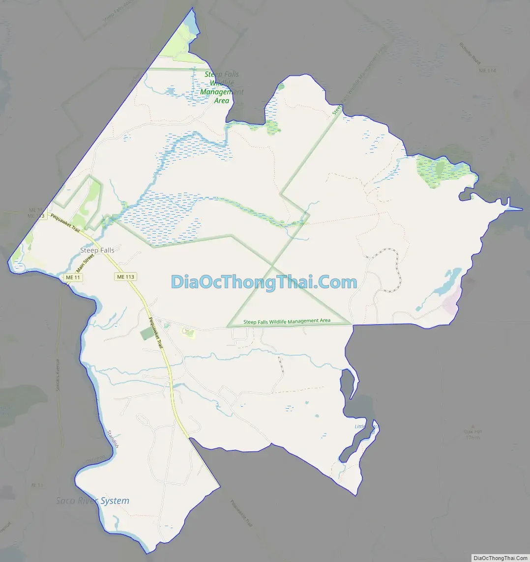
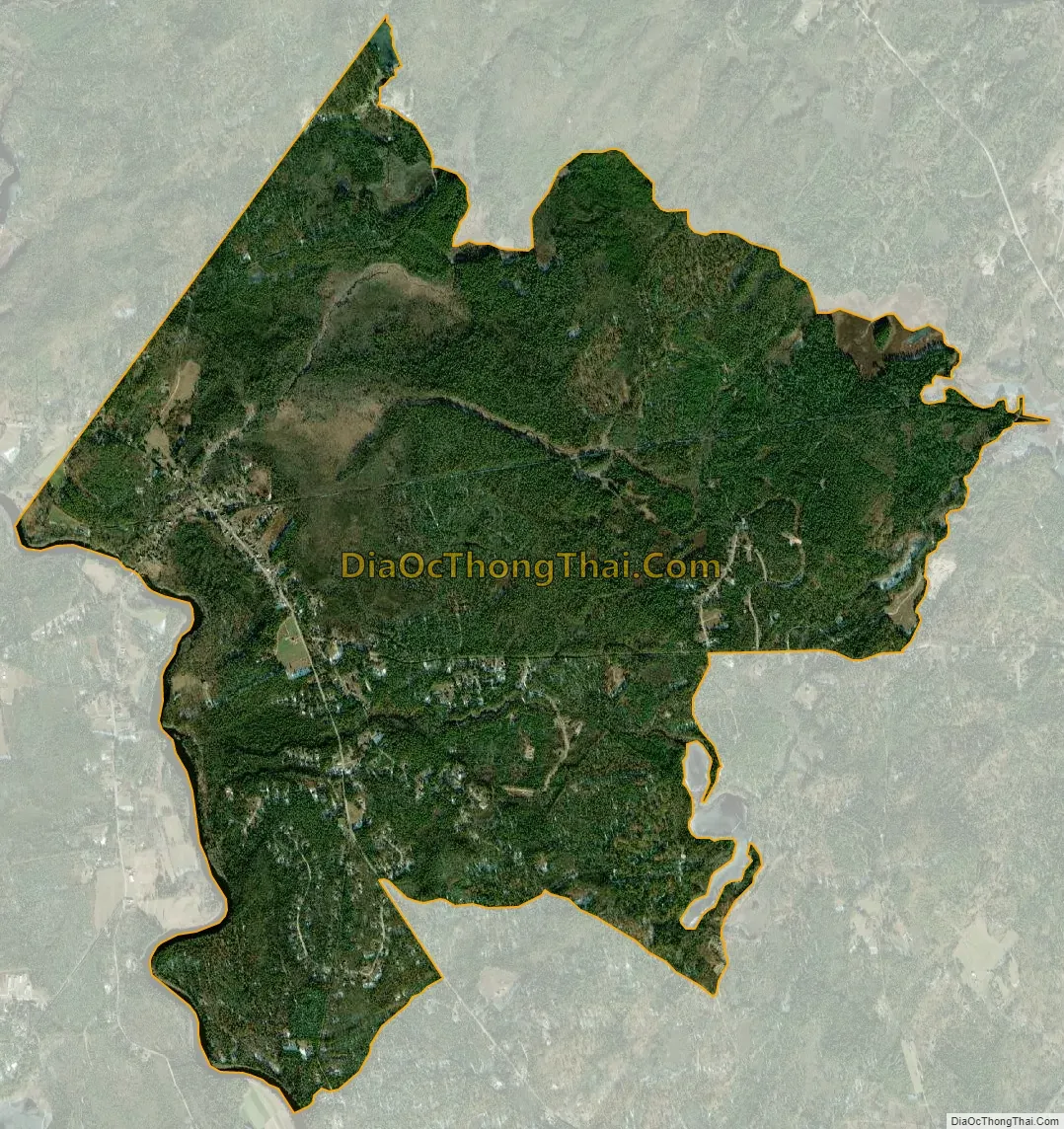
Steep Falls city Satellite Map
Geography
Steep Falls is located in the western corner of the town of Standish along the Saco River at 43°47′38″N 70°39′6″W / 43.79389°N 70.65167°W / 43.79389; -70.65167. Maine State Route 11 crosses the Saco River into the community, heading southwest towards Limington and Limerick and north towards Naples. Maine State Route 113 coincides with Route 11 through the center of Steep Falls, then heads southeast towards Standish village and northwest towards Hiram and Fryeburg.
According to the United States Census Bureau, the Steep Falls CDP has a total area of 10.2 square miles (26.4 km), of which 10.0 square miles (26.0 km) is land and 0.15 square miles (0.4 km), or 1.58%, is water.
Climate
This climatic region is typified by large seasonal temperature differences, with warm to hot (and often humid) summers and cold (sometimes severely cold) winters. According to the Köppen Climate Classification system, Steep Falls has a humid continental climate, abbreviated “Dfb” on climate maps.
See also
Map of Maine State and its subdivision: Map of other states:- Alabama
- Alaska
- Arizona
- Arkansas
- California
- Colorado
- Connecticut
- Delaware
- District of Columbia
- Florida
- Georgia
- Hawaii
- Idaho
- Illinois
- Indiana
- Iowa
- Kansas
- Kentucky
- Louisiana
- Maine
- Maryland
- Massachusetts
- Michigan
- Minnesota
- Mississippi
- Missouri
- Montana
- Nebraska
- Nevada
- New Hampshire
- New Jersey
- New Mexico
- New York
- North Carolina
- North Dakota
- Ohio
- Oklahoma
- Oregon
- Pennsylvania
- Rhode Island
- South Carolina
- South Dakota
- Tennessee
- Texas
- Utah
- Vermont
- Virginia
- Washington
- West Virginia
- Wisconsin
- Wyoming