Winthrop is a census-designated place (CDP) comprising the primary settlement in the town of Winthrop in Kennebec County, Maine, United States. The population was 2,650 at the 2010 census, out of 6,092 in the town of Winthrop as a whole.
| Name: | Winthrop CDP |
|---|---|
| LSAD Code: | 57 |
| LSAD Description: | CDP (suffix) |
| State: | Maine |
| County: | Kennebec County |
| Elevation: | 230 ft (70 m) |
| Total Area: | 7.20 sq mi (18.64 km²) |
| Land Area: | 5.53 sq mi (14.32 km²) |
| Water Area: | 1.67 sq mi (4.32 km²) |
| Total Population: | 2,666 |
| Population Density: | 482.18/sq mi (186.17/km²) |
| ZIP code: | 04364 |
| Area code: | 207 |
| FIPS code: | 2386935 |
| GNISfeature ID: | 0578610 |
Online Interactive Map
Click on ![]() to view map in "full screen" mode.
to view map in "full screen" mode.
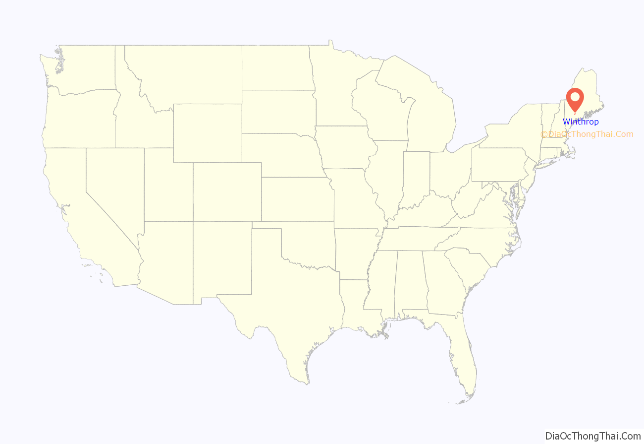
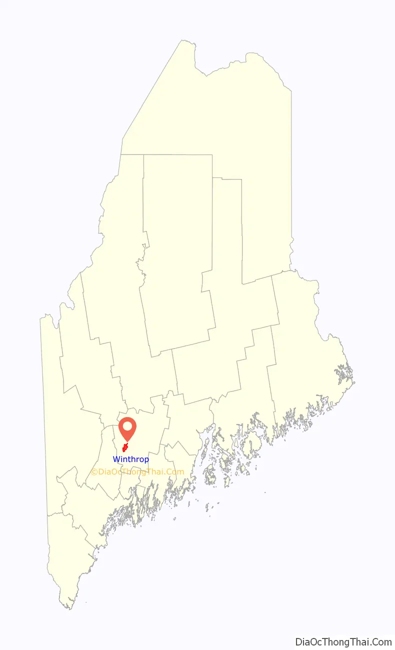
Winthrop location map. Where is Winthrop CDP?
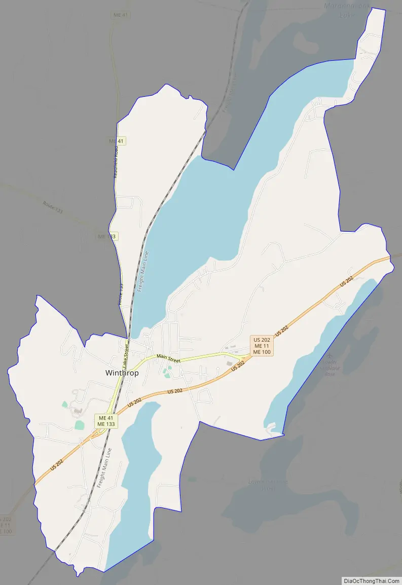
Winthrop Road Map
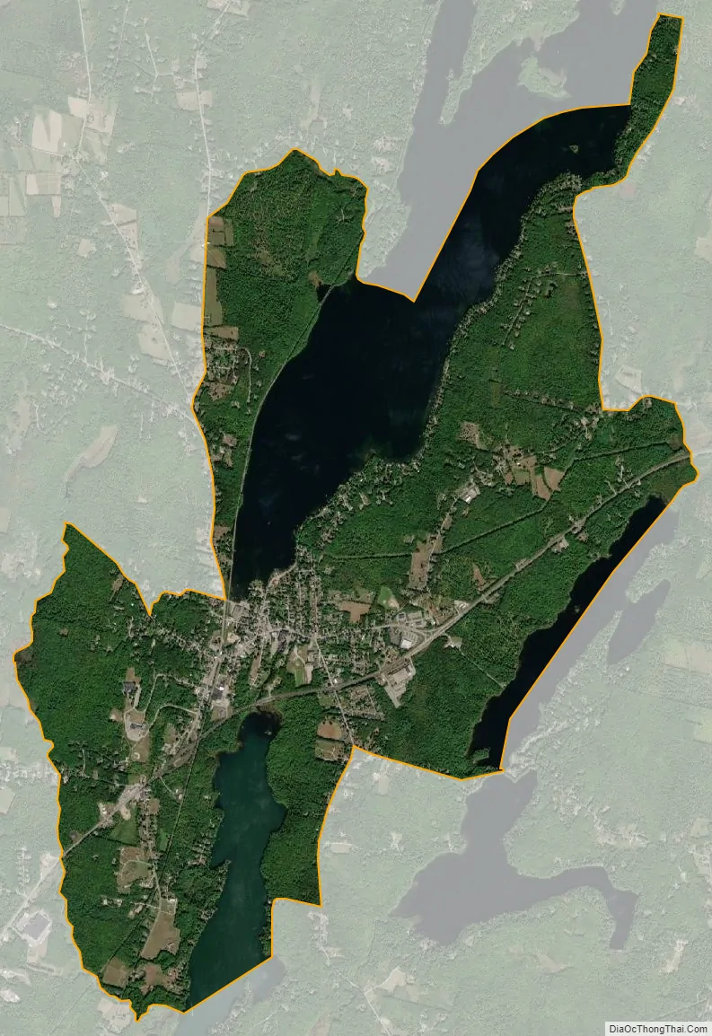
Winthrop city Satellite Map
Geography
Winthrop is located in southwestern Kennebec County at 44°18′42″N 69°58′7″W / 44.31167°N 69.96861°W / 44.31167; -69.96861 (44.311812, −69.968699), in the center of the town of Winthrop. The village is in the Winthrop Lakes Region and sits between the outlet of Maranacook Lake and the inlet of Annabessacook Lake along their connecting stream, which falls 40 feet (12 m) in 0.6 miles (0.97 km). The CDP includes rural land surrounding the village, extending east to the shore of Upper Narrows Pond, south down Annabessacook Lake to the inlet of Hoyt Brook, north up Maranacook Lake to the Readfield town line, and west along Hoyt Brook and Maine State Route 41.
U.S. Route 202, with Maine State Routes 11 and 100, passes through the central part of the CDP, passing just south of the village center. US 202 leads east 10 miles (16 km) to Augusta, the state capital, and southwest 19 miles (31 km) to Lewiston. Routes 41 and 133 pass through the village center. Route 41 leads north 6 miles (10 km) to the center of Readfield, while Route 133 leads northwest 17 miles (27 km) to Livermore Falls.
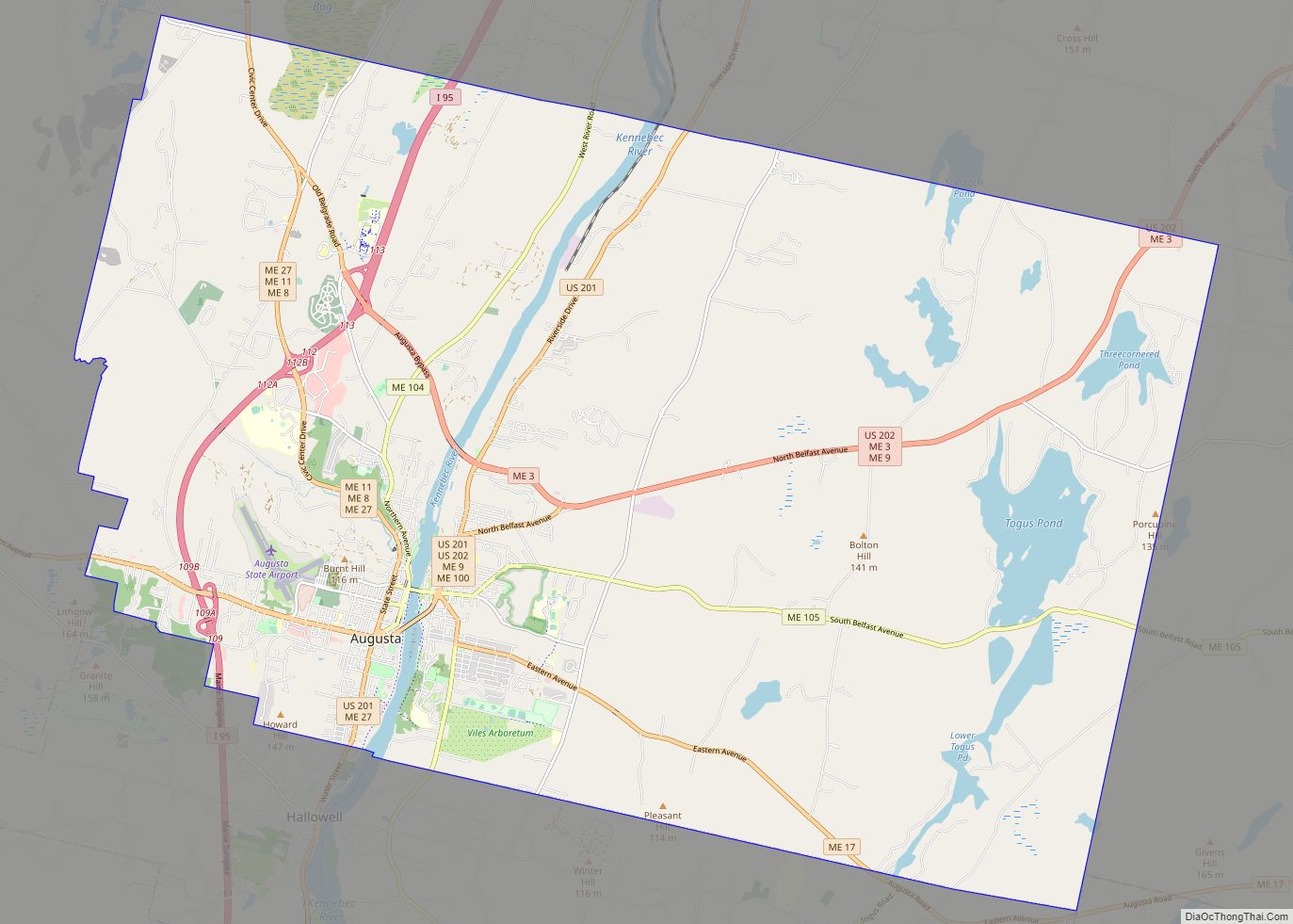
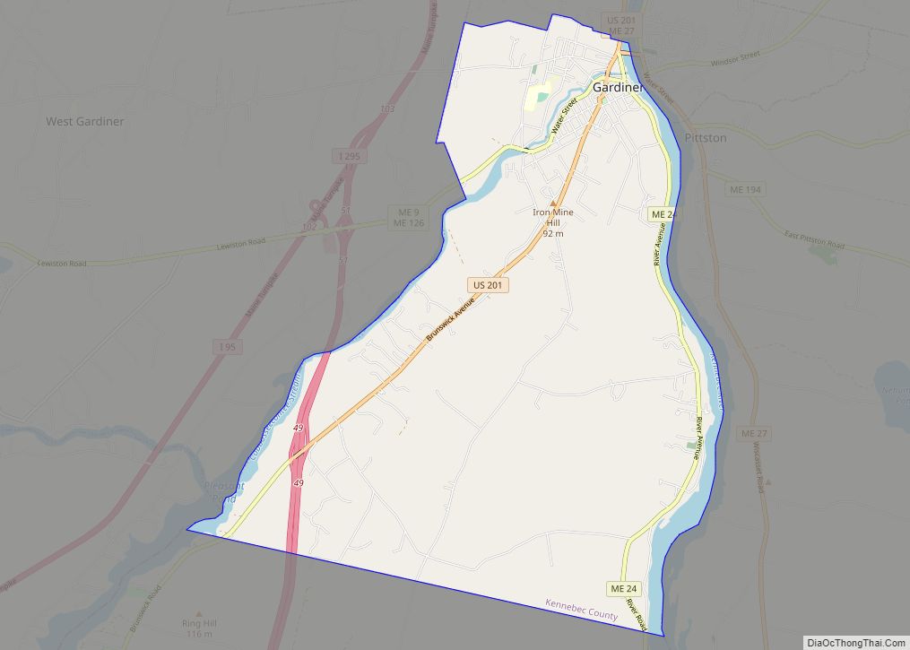
According to the United States Census Bureau, the Winthrop CDP has a total area of 7.2 square miles (18.7 km), of which 5.6 square miles (14.4 km) are land and 1.6 square miles (4.2 km), or 22.58%, are water. The Winthrop Lakes network drains via Cobbosseecontee Lake and Stream southeast to the Kennebec River at Gardiner.
See also
Map of Maine State and its subdivision: Map of other states:- Alabama
- Alaska
- Arizona
- Arkansas
- California
- Colorado
- Connecticut
- Delaware
- District of Columbia
- Florida
- Georgia
- Hawaii
- Idaho
- Illinois
- Indiana
- Iowa
- Kansas
- Kentucky
- Louisiana
- Maine
- Maryland
- Massachusetts
- Michigan
- Minnesota
- Mississippi
- Missouri
- Montana
- Nebraska
- Nevada
- New Hampshire
- New Jersey
- New Mexico
- New York
- North Carolina
- North Dakota
- Ohio
- Oklahoma
- Oregon
- Pennsylvania
- Rhode Island
- South Carolina
- South Dakota
- Tennessee
- Texas
- Utah
- Vermont
- Virginia
- Washington
- West Virginia
- Wisconsin
- Wyoming