Mountain Lakes is a census-designated place (CDP) in the towns of Haverhill and Bath in Grafton County, New Hampshire, United States. It had a population of 504 at the 2020 census.
The Haverhill portion of the community is an independent incorporated district, with its own water system, planning board, and recreation program, and is guided by a three-member elected board of commissioners and annual district meeting.
| Name: | Mountain Lakes CDP |
|---|---|
| LSAD Code: | 57 |
| LSAD Description: | CDP (suffix) |
| State: | New Hampshire |
| County: | Grafton County |
| Elevation: | 800 ft (200 m) |
| Total Area: | 3.63 sq mi (9.41 km²) |
| Land Area: | 3.52 sq mi (9.12 km²) |
| Water Area: | 0.11 sq mi (0.29 km²) |
| Total Population: | 504 |
| Population Density: | 143.14/sq mi (55.27/km²) |
| Area code: | 603 |
| FIPS code: | 3349600 |
| GNISfeature ID: | 2025415 |
Online Interactive Map
Click on ![]() to view map in "full screen" mode.
to view map in "full screen" mode.
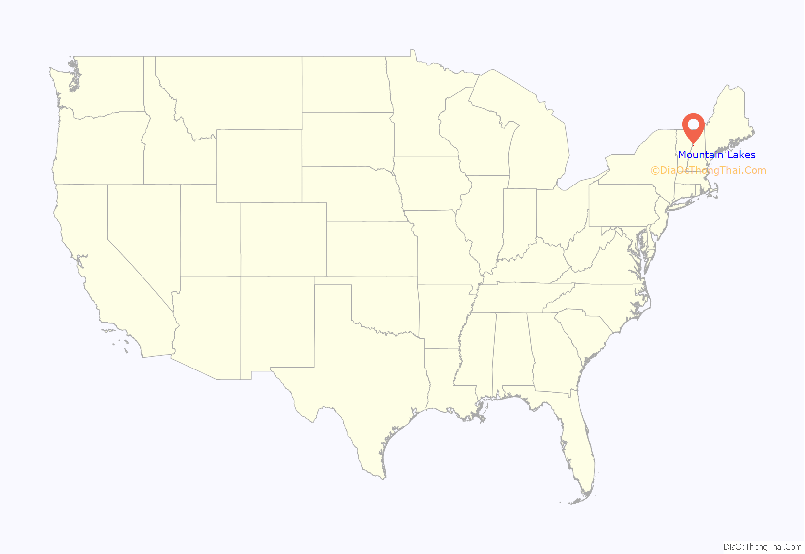
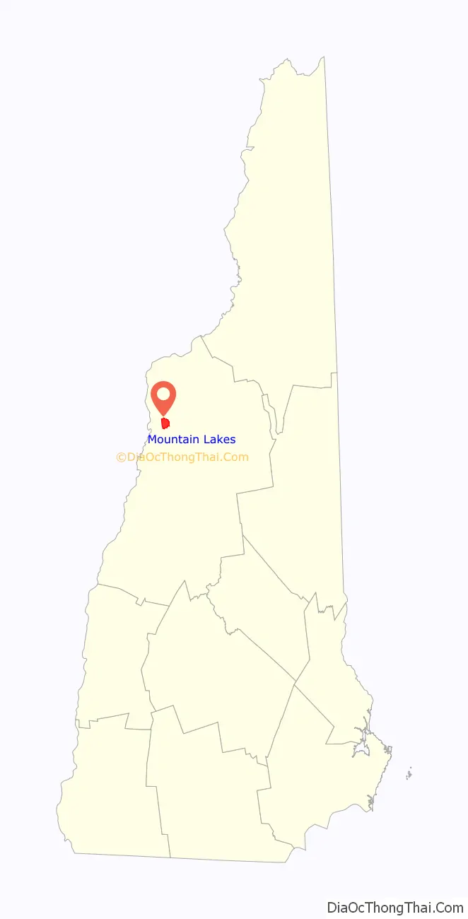
Mountain Lakes location map. Where is Mountain Lakes CDP?
Mountain Lakes Road Map
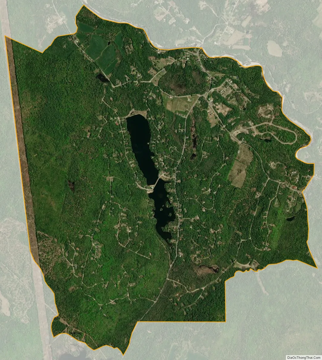
Mountain Lakes city Satellite Map
Geography
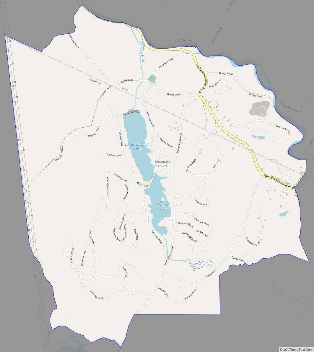
The Haverhill portion of Mountain Lakes surrounds two namesake lakes constructed on Waterman Brook, a north-flowing tributary of the Wild Ammonoosuc River. The CDP extends to the north into the neighboring town of Bath, as far as the Wild Ammonoosuc and the Swiftwater Covered Bridge. New Hampshire Route 112 travels across the Bath portion of the CDP, connecting Woodsville to the west with Kinsman Notch and North Woodstock to the east.
According to the United States Census Bureau, the Mountain Lakes CDP has a total area of 3.6 square miles (9.4 km), of which 3.5 square miles (9.1 km) are land and 0.1 square miles (0.3 km), or 3.10%, are water.
See also
Map of New Hampshire State and its subdivision: Map of other states:- Alabama
- Alaska
- Arizona
- Arkansas
- California
- Colorado
- Connecticut
- Delaware
- District of Columbia
- Florida
- Georgia
- Hawaii
- Idaho
- Illinois
- Indiana
- Iowa
- Kansas
- Kentucky
- Louisiana
- Maine
- Maryland
- Massachusetts
- Michigan
- Minnesota
- Mississippi
- Missouri
- Montana
- Nebraska
- Nevada
- New Hampshire
- New Jersey
- New Mexico
- New York
- North Carolina
- North Dakota
- Ohio
- Oklahoma
- Oregon
- Pennsylvania
- Rhode Island
- South Carolina
- South Dakota
- Tennessee
- Texas
- Utah
- Vermont
- Virginia
- Washington
- West Virginia
- Wisconsin
- Wyoming