Pittsfield is a census-designated place (CDP) and the main village in the town of Pittsfield in Merrimack County, New Hampshire, United States. The population of the CDP was 1,570 at the 2020 census, out of 4,075 in the entire town.
| Name: | Pittsfield CDP |
|---|---|
| LSAD Code: | 57 |
| LSAD Description: | CDP (suffix) |
| State: | New Hampshire |
| County: | Merrimack County |
| Elevation: | 496 ft (151 m) |
| Total Area: | 1.68 sq mi (4.36 km²) |
| Land Area: | 1.68 sq mi (4.36 km²) |
| Water Area: | 0.00 sq mi (0.00 km²) |
| Total Population: | 1,570 |
| Population Density: | 933.41/sq mi (360.42/km²) |
| ZIP code: | 03263 |
| Area code: | 603 |
| FIPS code: | 3361860 |
| GNISfeature ID: | 2378088 |
Online Interactive Map
Click on ![]() to view map in "full screen" mode.
to view map in "full screen" mode.
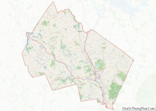
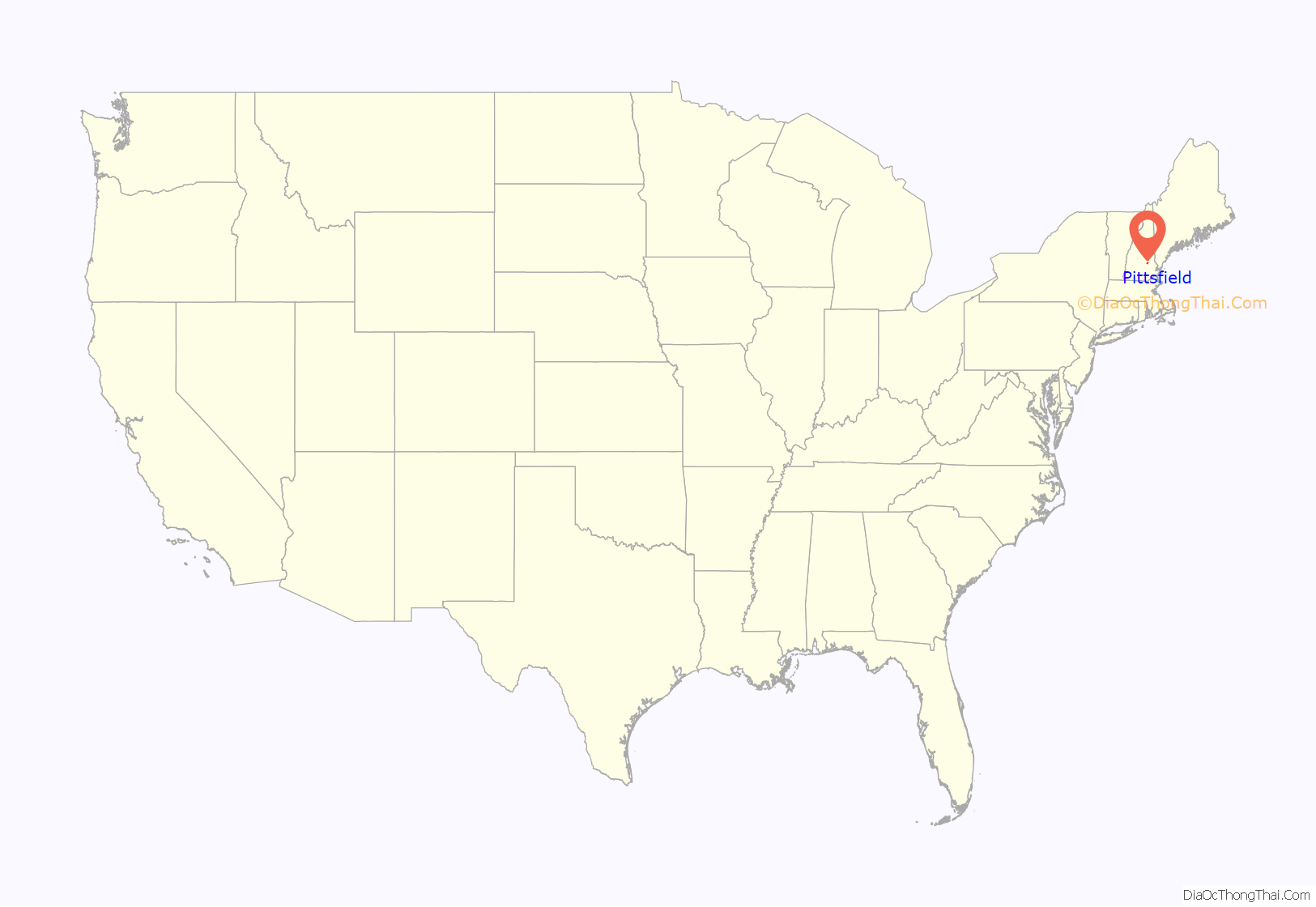
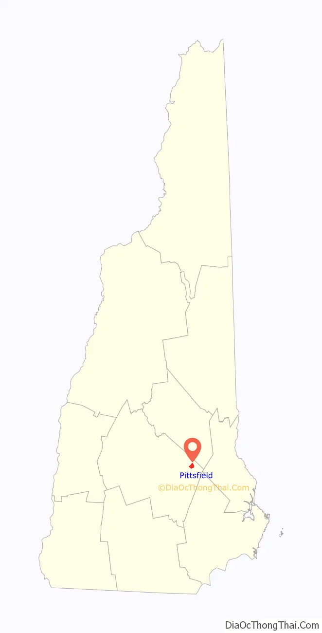
Pittsfield location map. Where is Pittsfield CDP?
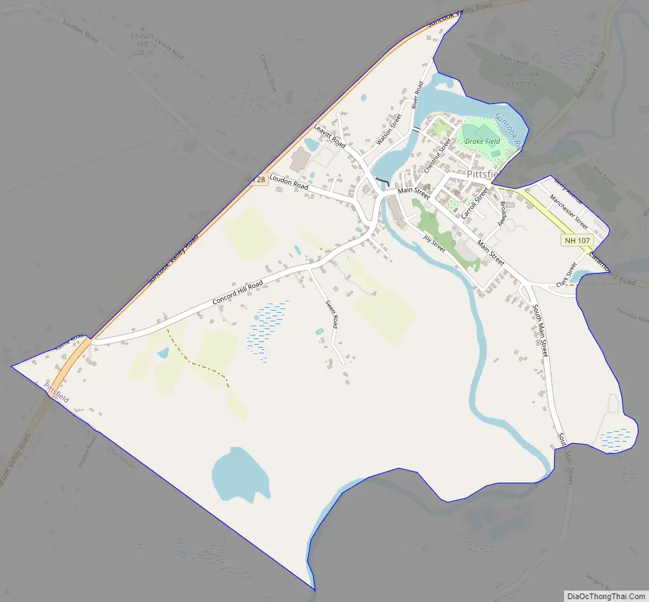
Pittsfield Road Map
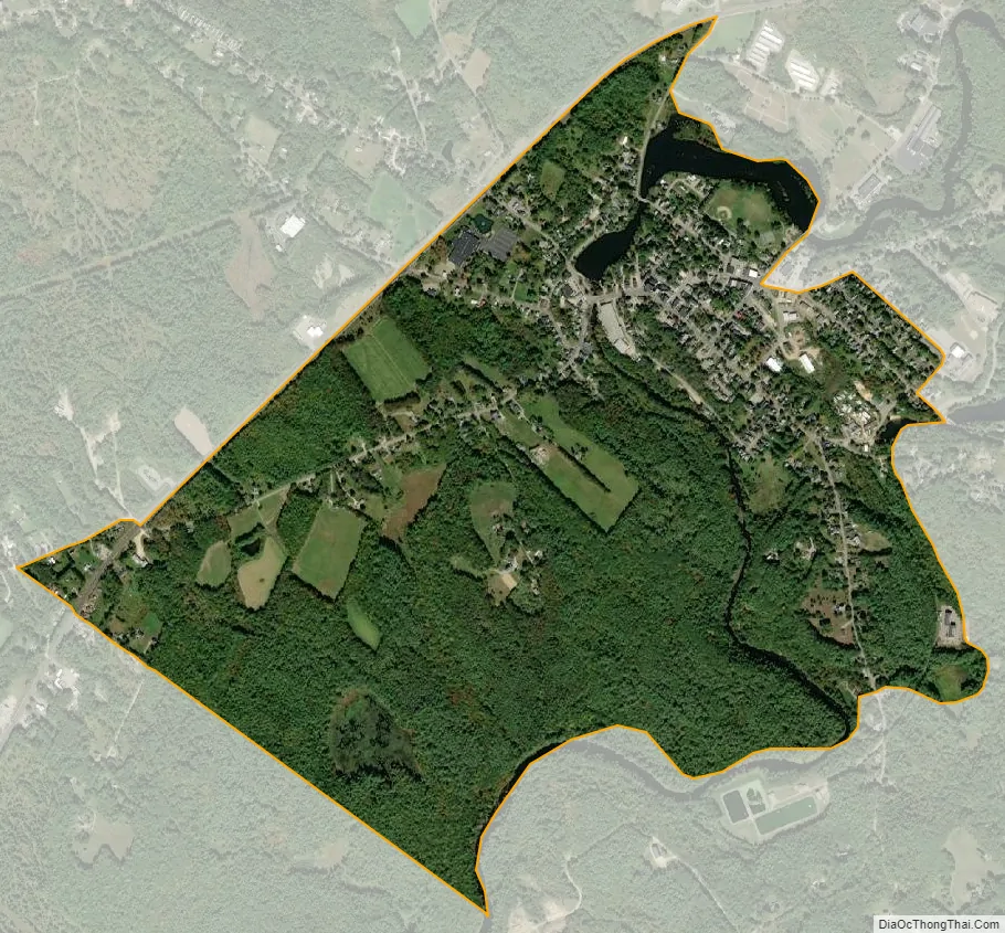
Pittsfield city Satellite Map
Geography
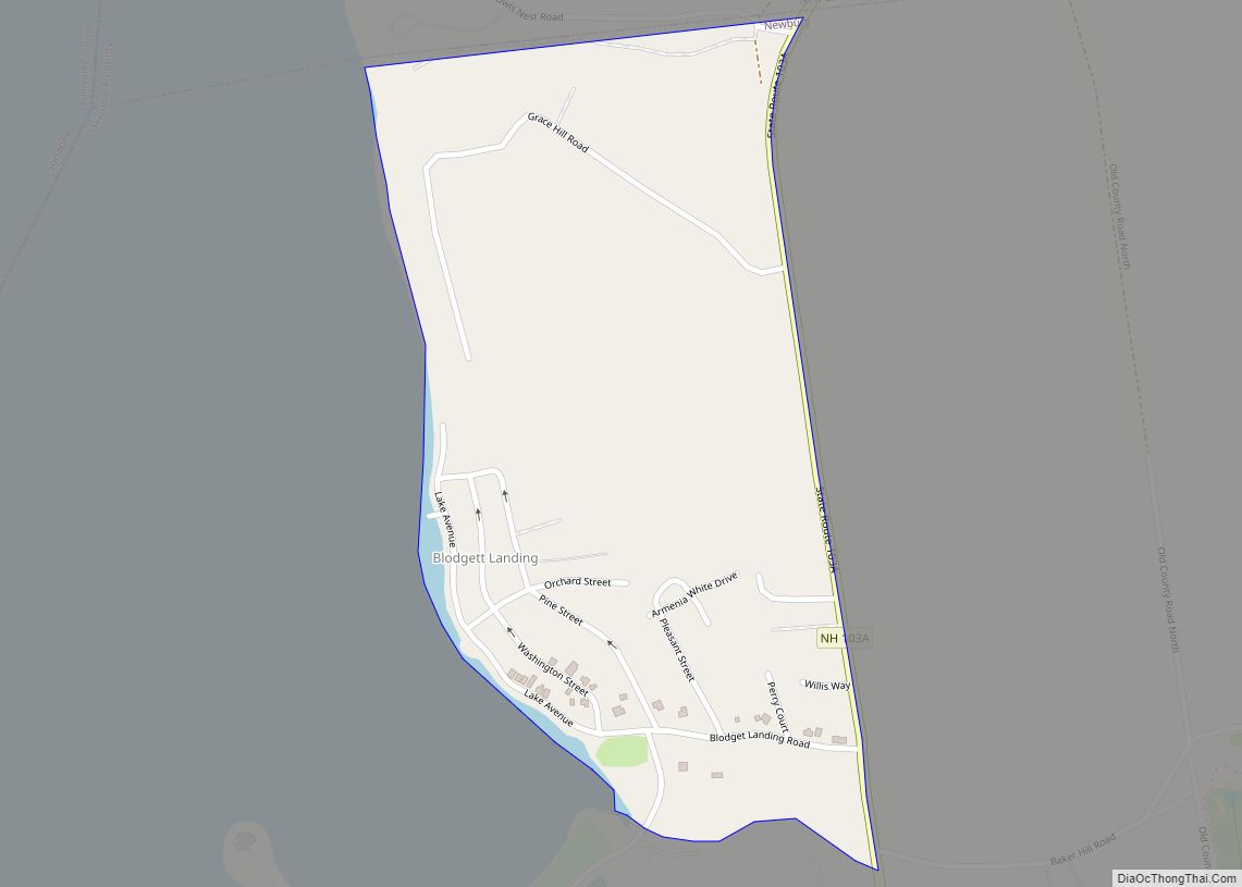
The CDP occupies the central-western part of the town of Pittsfield, on both sides of the Suncook River. It is bordered to the southwest by the town of Chichester; to the northwest by New Hampshire Route 28; to the northeast by River Road, the Suncook River, and part of Bow Street; and to the southeast by Winant Road, the outlet of Whites Pond, and the Suncook River.
Route 28 bypasses the center of the village to its northwest, leading southwest 6 miles (10 km) to the Epsom traffic circle and northeast 13 miles (21 km) to Alton. New Hampshire Route 107 passes through the center of Pittsfield as Catamount Road and Carroll Street, leading southeast 8 miles (13 km) to Northwood Narrows and northwest 11 miles (18 km) to Gilmanton.
According to the U.S. Census Bureau, the Pittsfield CDP has a total area of 1.7 square miles (4.4 km), all of it recorded as land. The Suncook River, which flows through the center of the community, is part of the Merrimack River watershed.
See also
Map of New Hampshire State and its subdivision: Map of other states:- Alabama
- Alaska
- Arizona
- Arkansas
- California
- Colorado
- Connecticut
- Delaware
- District of Columbia
- Florida
- Georgia
- Hawaii
- Idaho
- Illinois
- Indiana
- Iowa
- Kansas
- Kentucky
- Louisiana
- Maine
- Maryland
- Massachusetts
- Michigan
- Minnesota
- Mississippi
- Missouri
- Montana
- Nebraska
- Nevada
- New Hampshire
- New Jersey
- New Mexico
- New York
- North Carolina
- North Dakota
- Ohio
- Oklahoma
- Oregon
- Pennsylvania
- Rhode Island
- South Carolina
- South Dakota
- Tennessee
- Texas
- Utah
- Vermont
- Virginia
- Washington
- West Virginia
- Wisconsin
- Wyoming