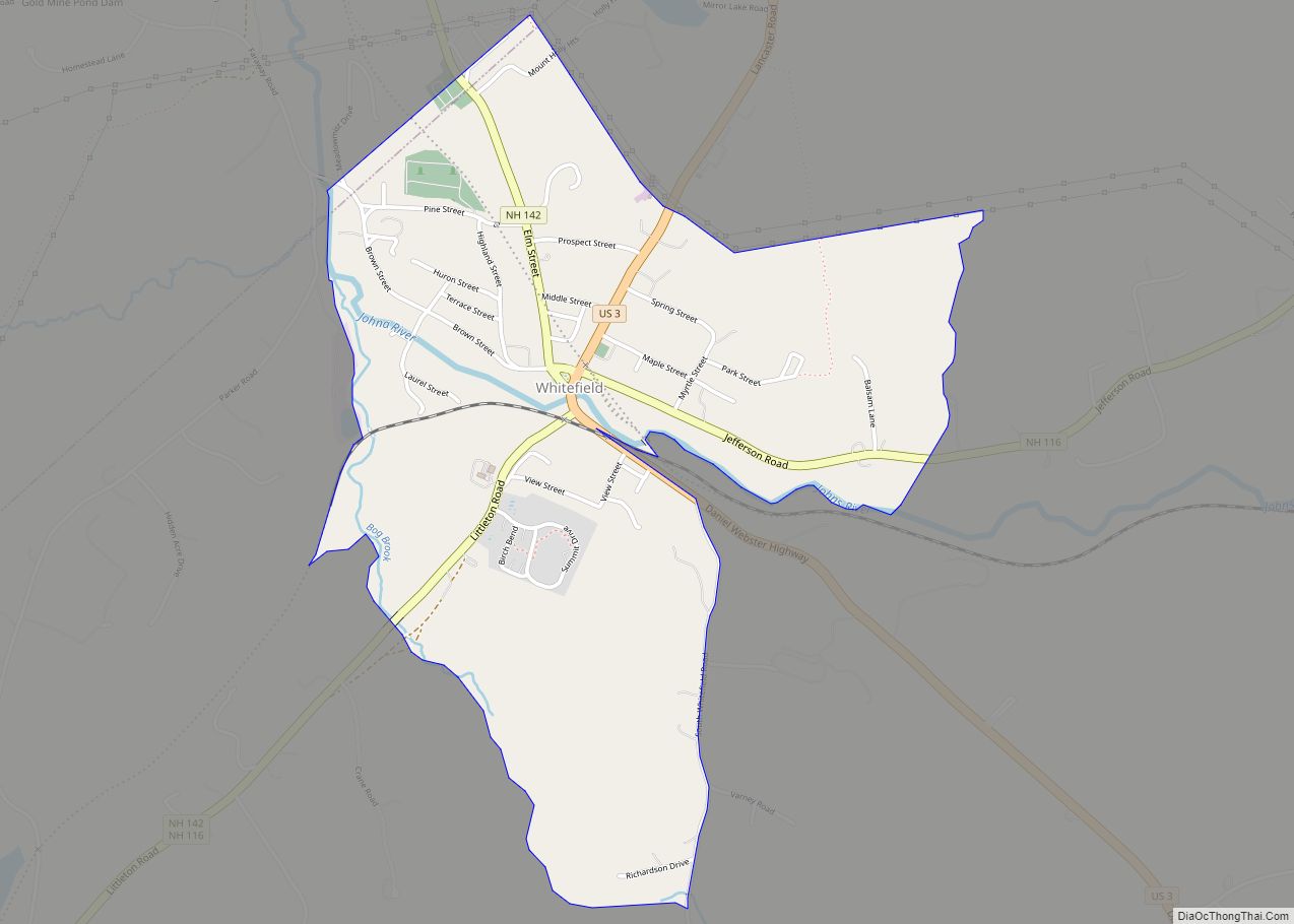
Whitefield is a census-designated place (CDP) and the main village in the town of Whitefield in Coos County, New Hampshire, United States. The population of the CDP was 1,460 at the 2020 census, out of 2,490 people in the entire town of Whitefield.
| Name: | Whitefield CDP |
|---|---|
| LSAD Code: | 57 |
| LSAD Description: | CDP (suffix) |
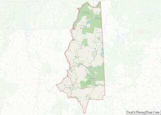
| State: | New Hampshire |
| County: | Coos County |
| Elevation: | 945 ft (288 m) |
| Total Area: | 1.59 sq mi (4.13 km²) |
| Land Area: | 1.59 sq mi (4.13 km²) |
| Water Area: | 0.00 sq mi (0.00 km²) |
| Total Population: | 1,460 |
| Population Density: | 915.93/sq mi (353.69/km²) |
| ZIP code: | 03598 |
| Area code: | 603 |
| FIPS code: | 3384340 |
| GNISfeature ID: | 2378095 |
Online Interactive Map
Click on ![]() to view map in "full screen" mode.
to view map in "full screen" mode.
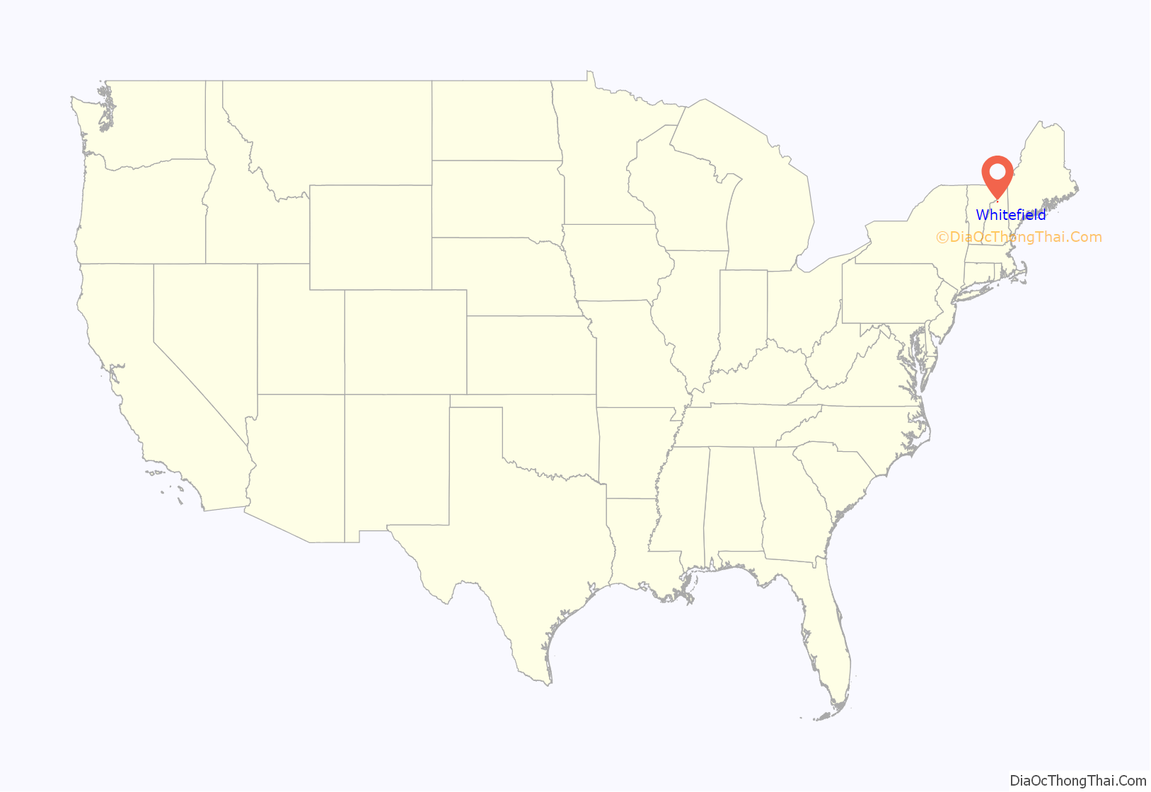
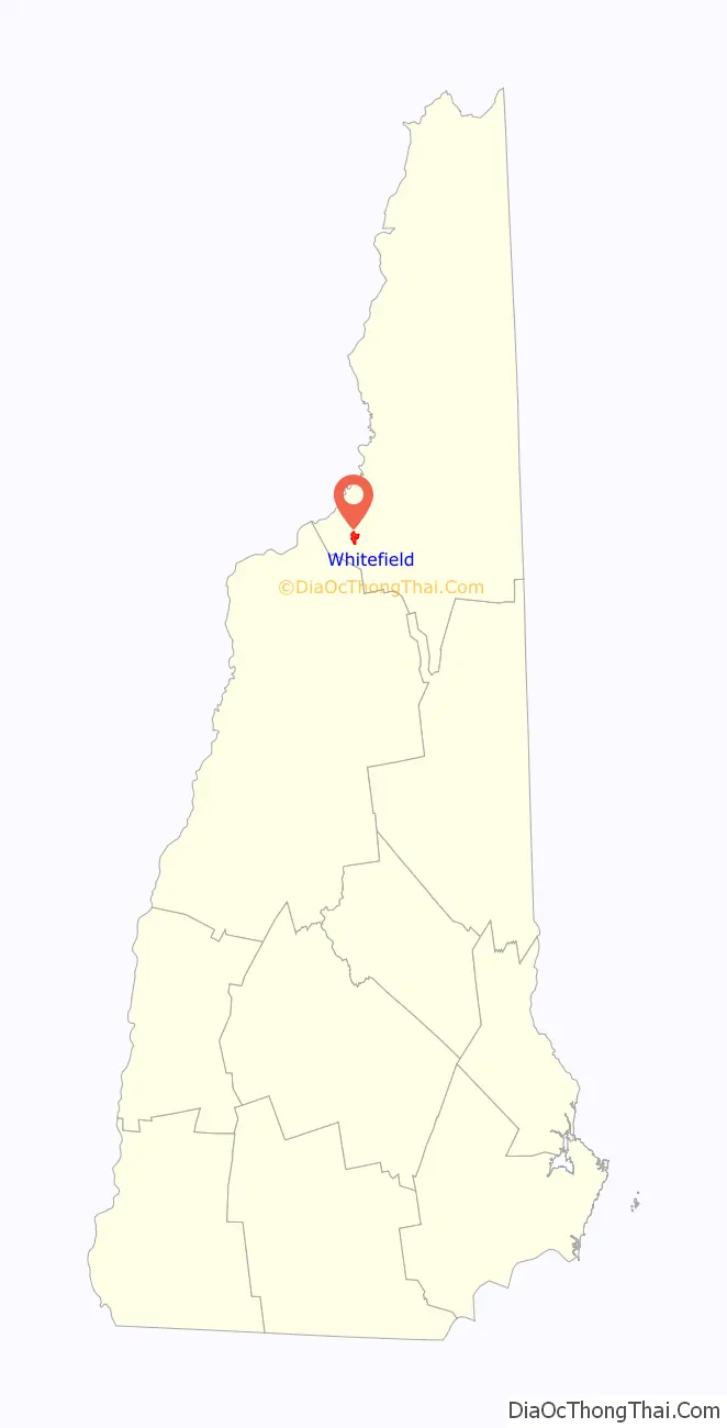
Whitefield location map. Where is Whitefield CDP?
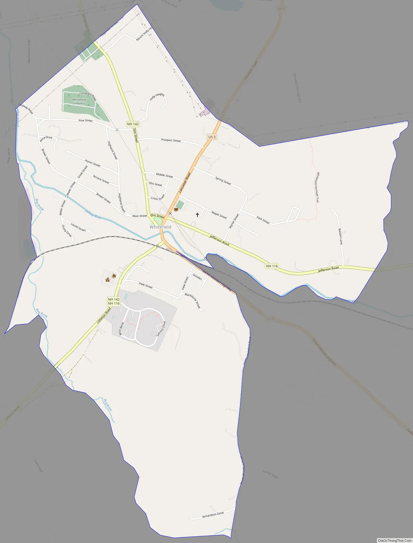
Whitefield Road Map
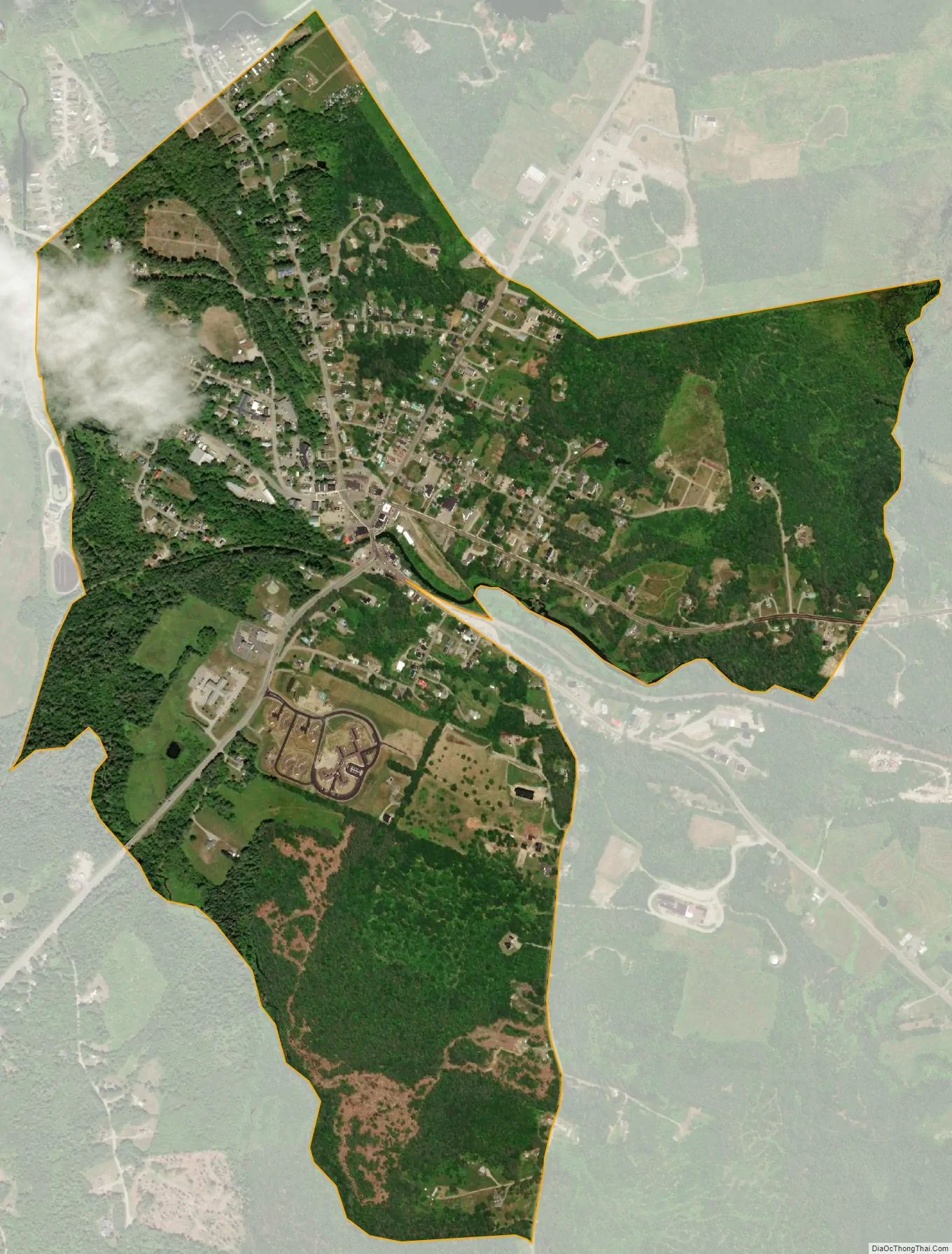
Whitefield city Satellite Map
Geography
The CDP is in the west-central part of the town of Whitefield, on both sides of the Johns River, a west-flowing tributary of the Connecticut River. It extends north into the town of Dalton. The northern edge of the CDP is north of Meadowmist Drive and follows Mirror Lake Road, while to the east the CDP extends beyond Holly Heights and Balsam Lane. The southeast border of the CDP runs east of Whitefield Elementary School, then follows Greenwood Street/South Whitefield Road south to Bog Brook, which forms the western border of the CDP down to the Johns River.
U.S. Route 3 runs through the center of Whitefield, leading north 8 miles (13 km) to Lancaster, the Coos County seat, and south the same distance to Twin Mountain. New Hampshire Route 116 also passes through the center of town, leading northeast 9 miles (14 km) to Jefferson and southwest 10 miles (16 km) to Littleton. New Hampshire Route 142 leads northwest from Whitefield 7 miles (11 km) to Dalton and south-southwest 8 miles (13 km) to Bethlehem.
According to the U.S. Census Bureau, the Whitefield CDP has a total area of 1.6 square miles (4.1 km), all of it recorded as land.
See also
Map of New Hampshire State and its subdivision: Map of other states:- Alabama
- Alaska
- Arizona
- Arkansas
- California
- Colorado
- Connecticut
- Delaware
- District of Columbia
- Florida
- Georgia
- Hawaii
- Idaho
- Illinois
- Indiana
- Iowa
- Kansas
- Kentucky
- Louisiana
- Maine
- Maryland
- Massachusetts
- Michigan
- Minnesota
- Mississippi
- Missouri
- Montana
- Nebraska
- Nevada
- New Hampshire
- New Jersey
- New Mexico
- New York
- North Carolina
- North Dakota
- Ohio
- Oklahoma
- Oregon
- Pennsylvania
- Rhode Island
- South Carolina
- South Dakota
- Tennessee
- Texas
- Utah
- Vermont
- Virginia
- Washington
- West Virginia
- Wisconsin
- Wyoming