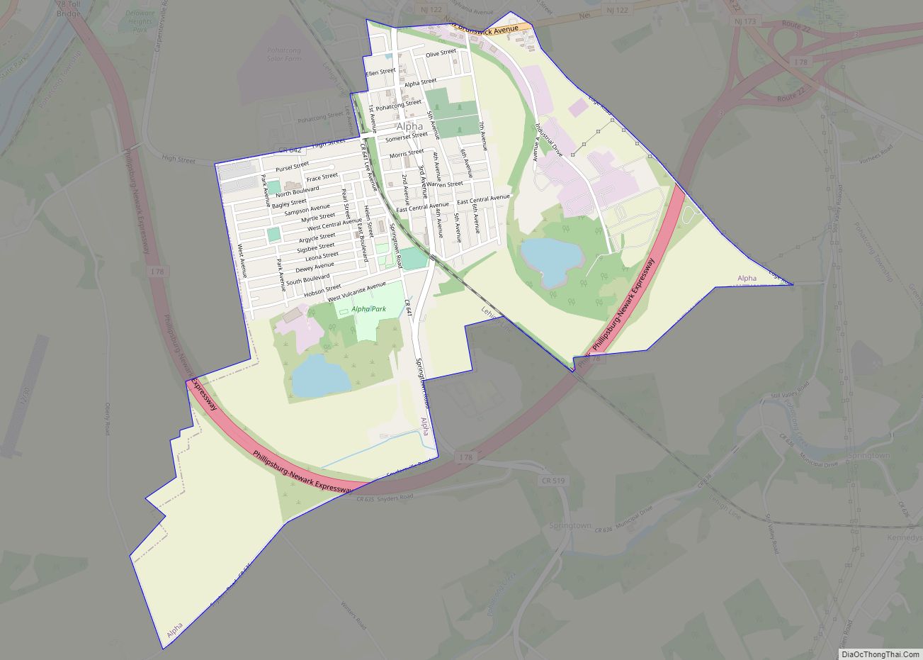
Alpha is a borough in Warren County, in the U.S. state of New Jersey. As of the 2020 United States census, the borough’s population was 2,328, a decrease of 41 (−1.7%) from the 2010 census count of 2,369, which in turn reflected a decline of 113 (−4.6%) from the 2,482 counted at the 2000 census.
Alpha was incorporated as a borough from portions of Pohatcong Township by an act of the New Jersey Legislature passed on June 26, 1911, and signed by Governor Woodrow Wilson, based on the results of a referendum held on May 31, 1911. The borough was named for the Alpha Cement Works.
| Name: | Alpha borough |
|---|---|
| LSAD Code: | 21 |
| LSAD Description: | borough (suffix) |
| State: | New Jersey |
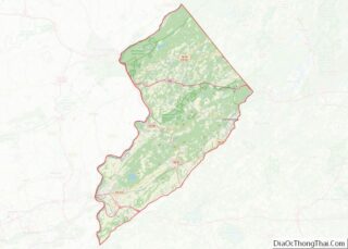
| County: | Warren County |
| Incorporated: | June 26, 1911 |
| Elevation: | 269 ft (82 m) |
| Total Area: | 1.72 sq mi (4.44 km²) |
| Land Area: | 1.68 sq mi (4.35 km²) |
| Water Area: | 0.04 sq mi (0.09 km²) 2.03% |
| Total Population: | 2,328 |
| Population Density: | 1,385.2/sq mi (534.8/km²) |
| ZIP code: | 08865 |
| Area code: | 908 |
| FIPS code: | 3401030 |
| GNISfeature ID: | 885138 |
| Website: | www.alphaboronj.org |
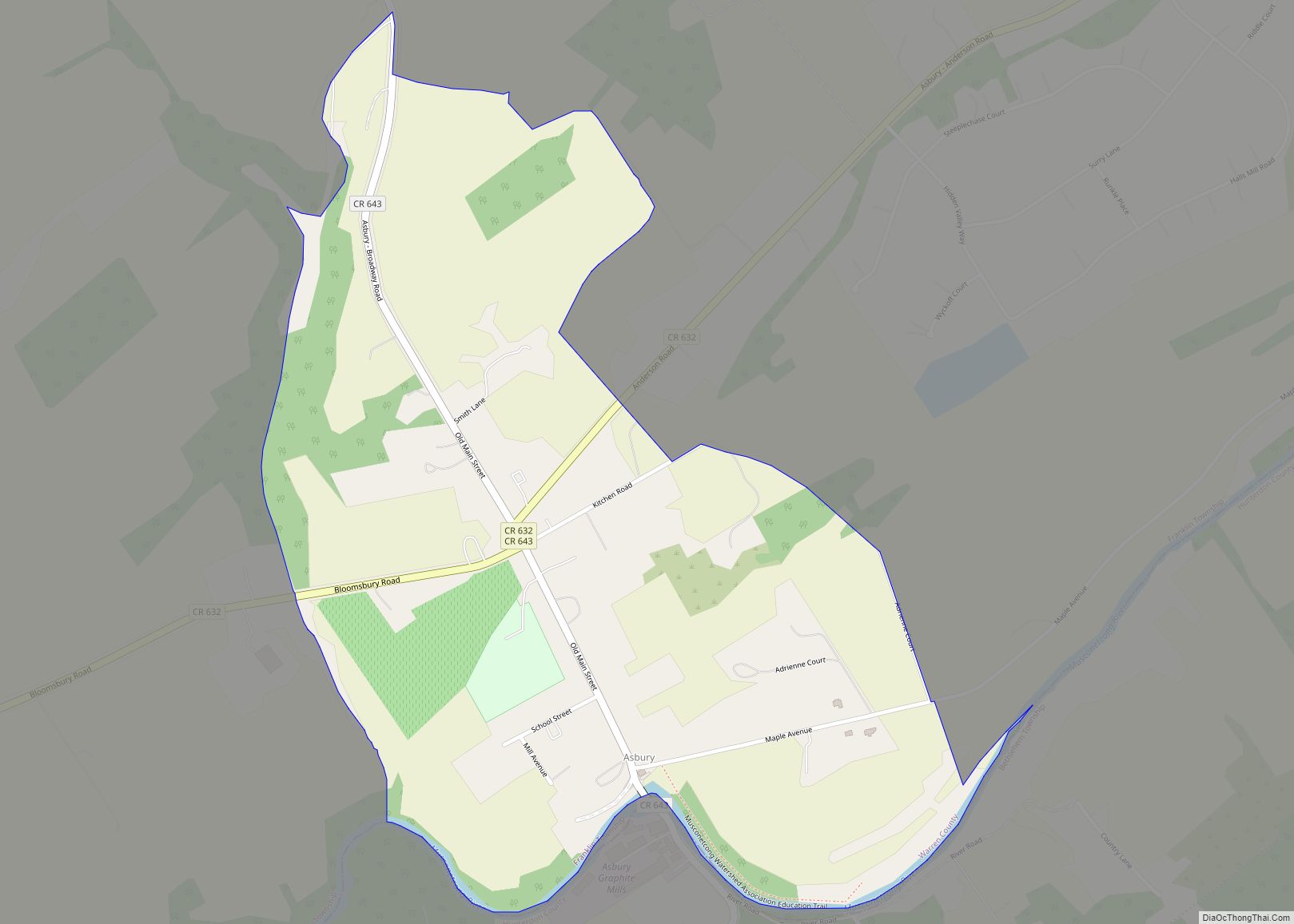
Online Interactive Map
Click on ![]() to view map in "full screen" mode.
to view map in "full screen" mode.
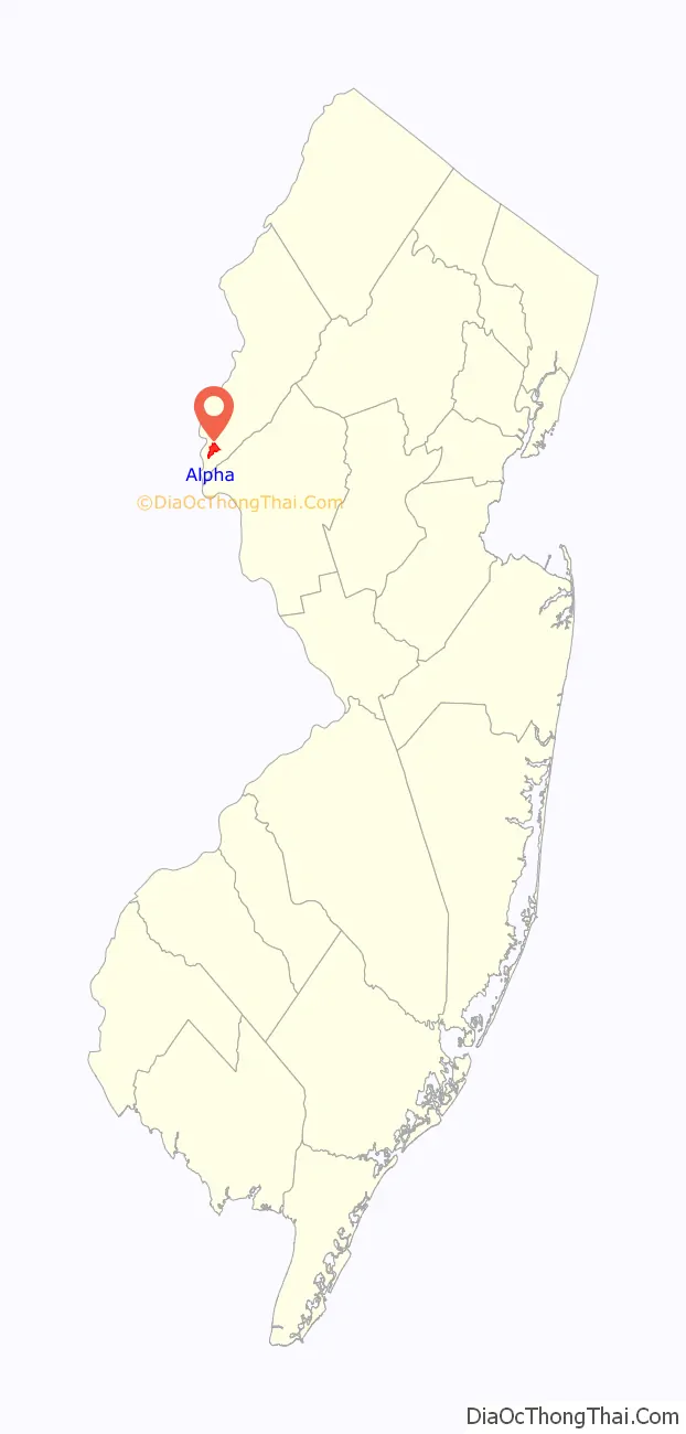
Alpha location map. Where is Alpha borough?

History
Formally known as Vulcanite, Alpha was incorporated on June 26, 1911, but its history can be traced back to a much earlier date. At the time of the Great Blizzard of 1888, there were only seven houses in what is now the corporate limits of Alpha. The exact date on which the first house in Alpha is uncertain. One of the first homes in the community was a two-room log cabin constructed by the Pursel family beside an old Indian Trail on the former property of the Vulcanite Portland Cement Company, now New Brunswick Avenue.
Less than two years after incorporating, the community obtained a continuation of the streetcar line from Phillipsburg and electric street lights were installed.
Alpha Road Map
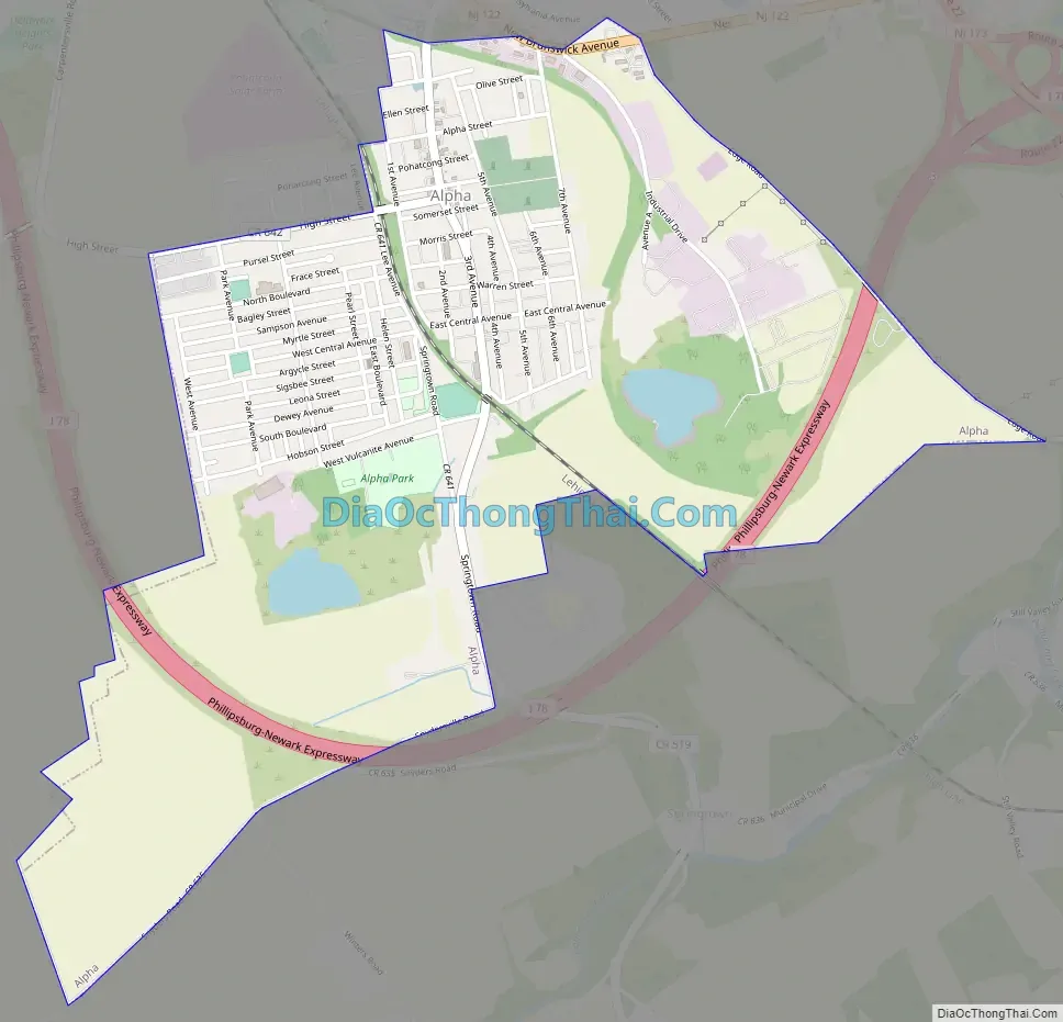
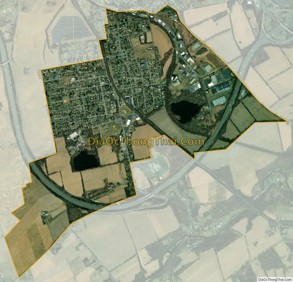
Alpha city Satellite Map
Geography
According to the U.S. Census Bureau, the borough had a total area of 1.72 square miles (4.44 km), including 1.68 square miles (4.35 km) of land and 0.04 square miles (0.09 km) of water (2.03%).
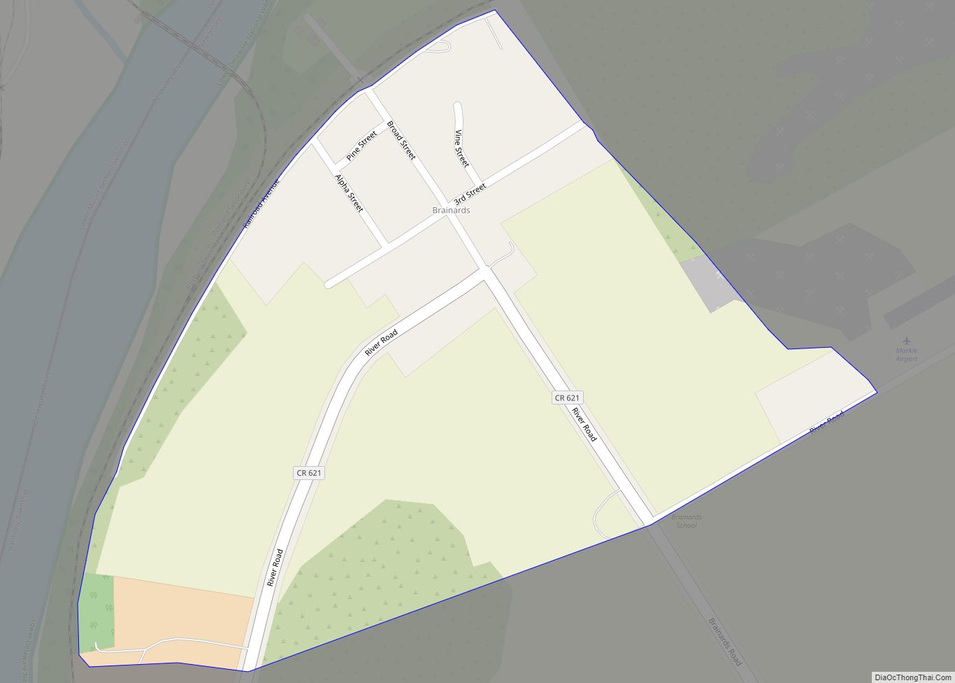
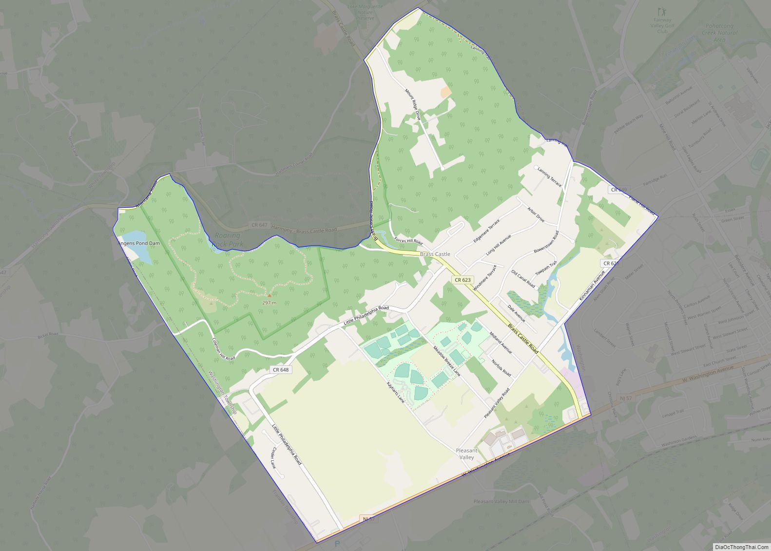
Unincorporated communities, localities and place names located partially or completely within the borough include Vulcanite.
The borough is completely surrounded by Pohatcong Township, making it part of 21 pairs of “doughnut towns” in the state, where one municipality entirely surrounds another.
See also
Map of New Jersey State and its subdivision: Map of other states:- Alabama
- Alaska
- Arizona
- Arkansas
- California
- Colorado
- Connecticut
- Delaware
- District of Columbia
- Florida
- Georgia
- Hawaii
- Idaho
- Illinois
- Indiana
- Iowa
- Kansas
- Kentucky
- Louisiana
- Maine
- Maryland
- Massachusetts
- Michigan
- Minnesota
- Mississippi
- Missouri
- Montana
- Nebraska
- Nevada
- New Hampshire
- New Jersey
- New Mexico
- New York
- North Carolina
- North Dakota
- Ohio
- Oklahoma
- Oregon
- Pennsylvania
- Rhode Island
- South Carolina
- South Dakota
- Tennessee
- Texas
- Utah
- Vermont
- Virginia
- Washington
- West Virginia
- Wisconsin
- Wyoming