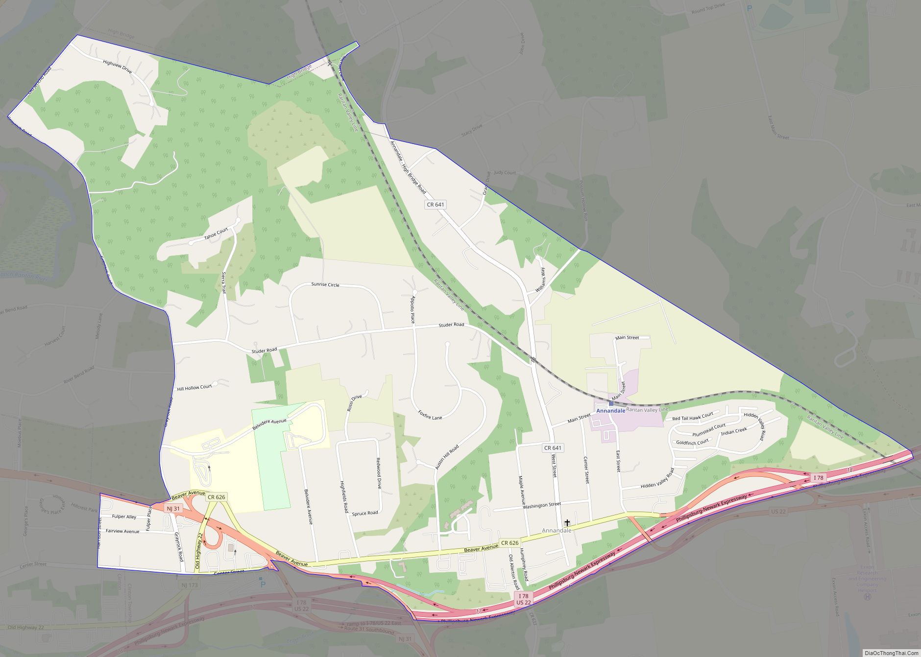
Annandale is an unincorporated community and census-designated place (CDP) located within Clinton Township, in Hunterdon County, New Jersey, United States. As of the 2010 United States Census, the CDP’s population was 1,695. The Annandale Historic District was listed on the state and national registers of historic places in 1994.
| Name: | Annandale CDP |
|---|---|
| LSAD Code: | 57 |
| LSAD Description: | CDP (suffix) |
| State: | New Jersey |
| County: | Hunterdon County |
| Elevation: | 423 ft (129 m) |
| Total Area: | 1.45 sq mi (3.76 km²) |
| Land Area: | 1.45 sq mi (3.76 km²) |
| Water Area: | 0.00 sq mi (0.00 km²) 0.00% |
| Total Population: | 1,663 |
| Population Density: | 1,146.90/sq mi (442.85/km²) |
| ZIP code: | 08801 |
| Area code: | 908 |
| FIPS code: | 3401480 |
| GNISfeature ID: | 02389137 |
Online Interactive Map
Click on ![]() to view map in "full screen" mode.
to view map in "full screen" mode.
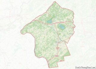
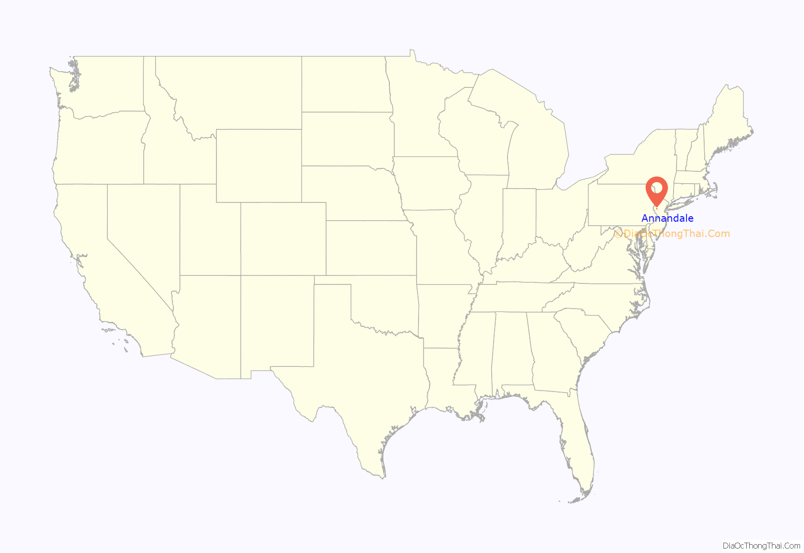
Annandale location map. Where is Annandale CDP?
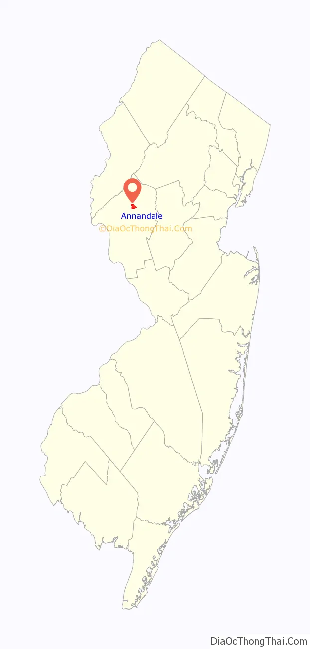
Annandale Road Map
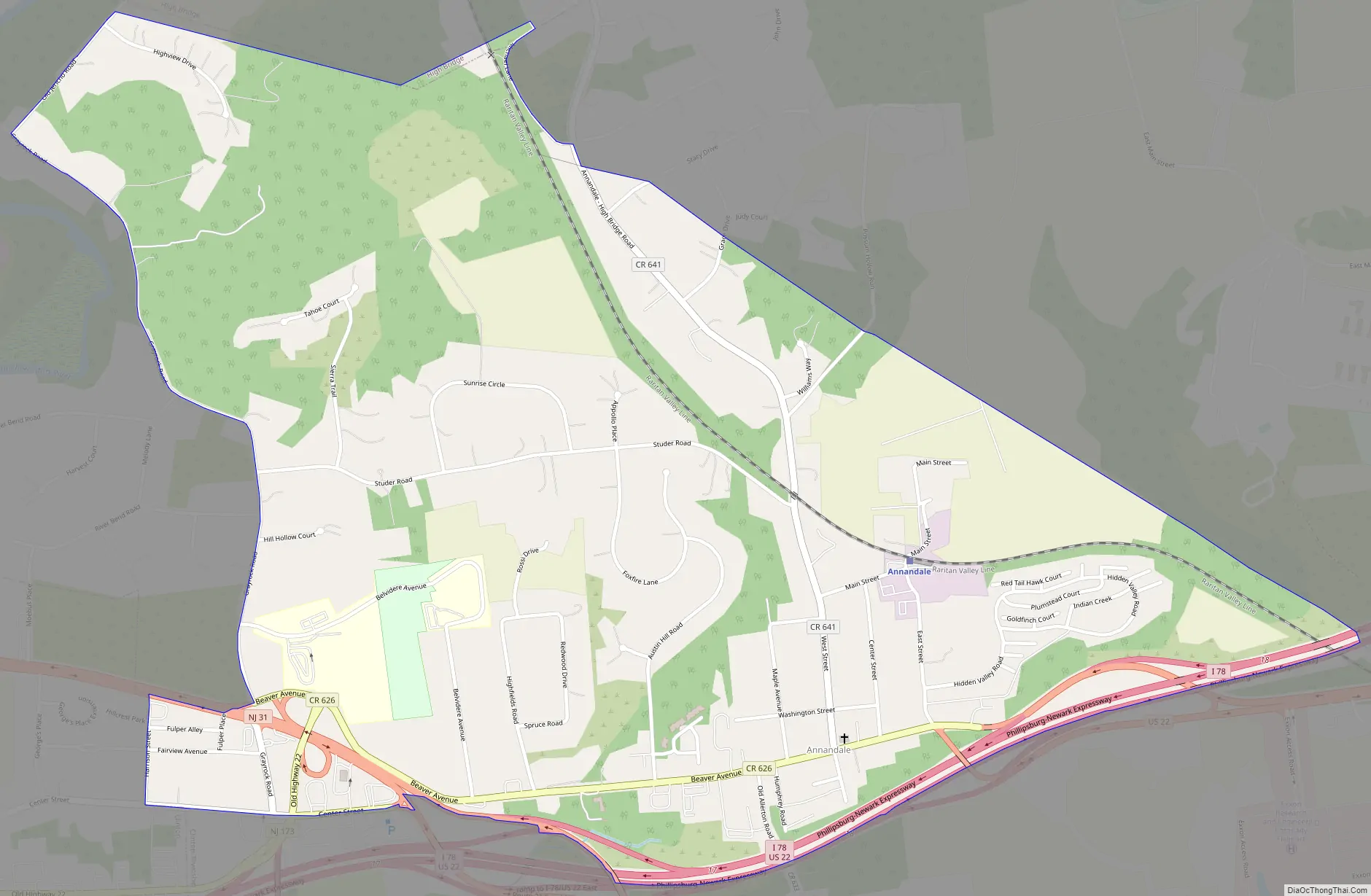
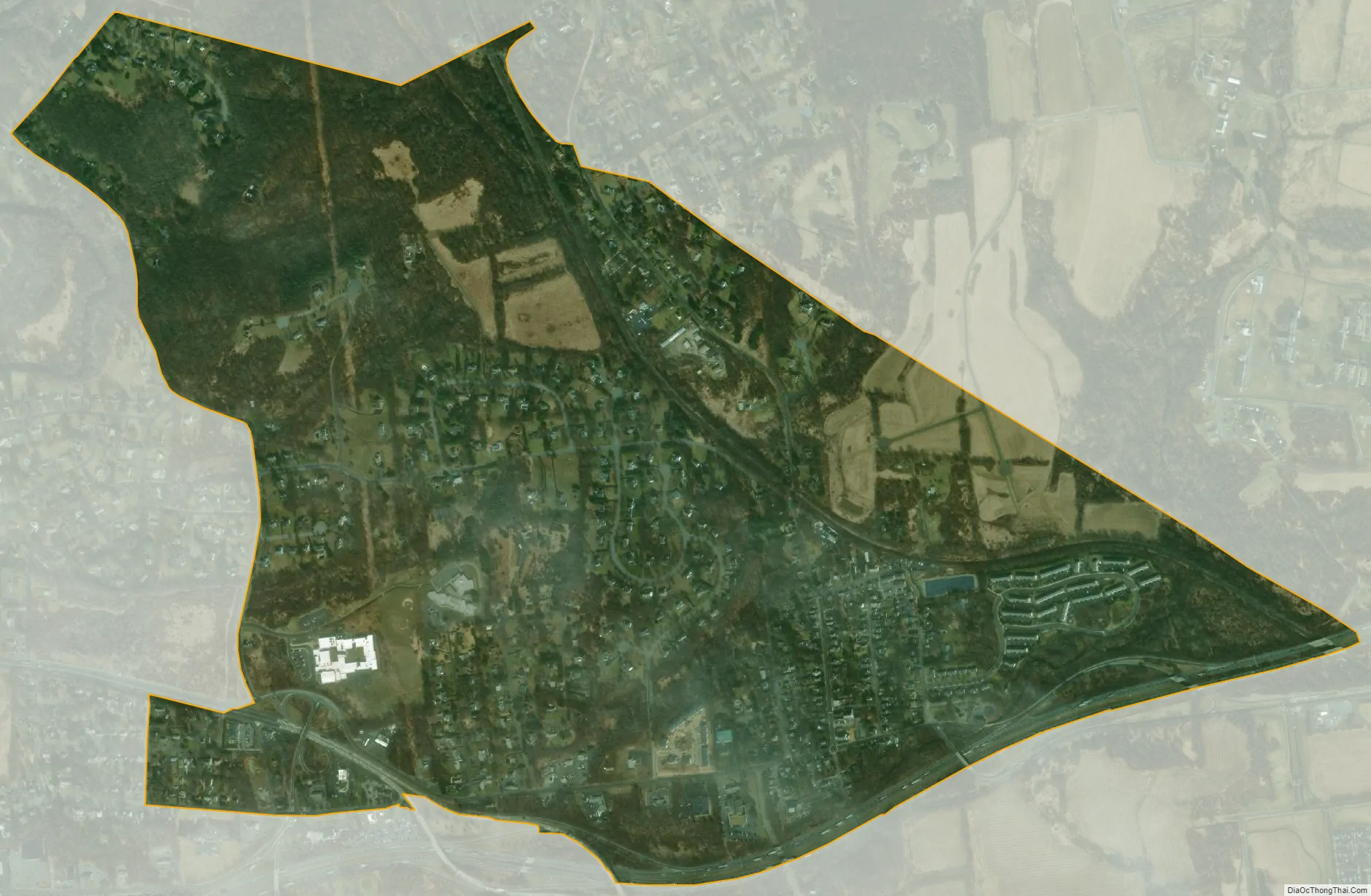
Annandale city Satellite Map
Geography
According to the United States Census Bureau, Annandale had a total area of 1.452 square miles (3.760 km), all of which was land. It has a hot-summer humid continental climate (Dfa) and average monthly temperatures range from 28.2 °F in January to 72.9 °F in July. [1] The hardiness zone is 6b.
See also
Map of New Jersey State and its subdivision: Map of other states:- Alabama
- Alaska
- Arizona
- Arkansas
- California
- Colorado
- Connecticut
- Delaware
- District of Columbia
- Florida
- Georgia
- Hawaii
- Idaho
- Illinois
- Indiana
- Iowa
- Kansas
- Kentucky
- Louisiana
- Maine
- Maryland
- Massachusetts
- Michigan
- Minnesota
- Mississippi
- Missouri
- Montana
- Nebraska
- Nevada
- New Hampshire
- New Jersey
- New Mexico
- New York
- North Carolina
- North Dakota
- Ohio
- Oklahoma
- Oregon
- Pennsylvania
- Rhode Island
- South Carolina
- South Dakota
- Tennessee
- Texas
- Utah
- Vermont
- Virginia
- Washington
- West Virginia
- Wisconsin
- Wyoming