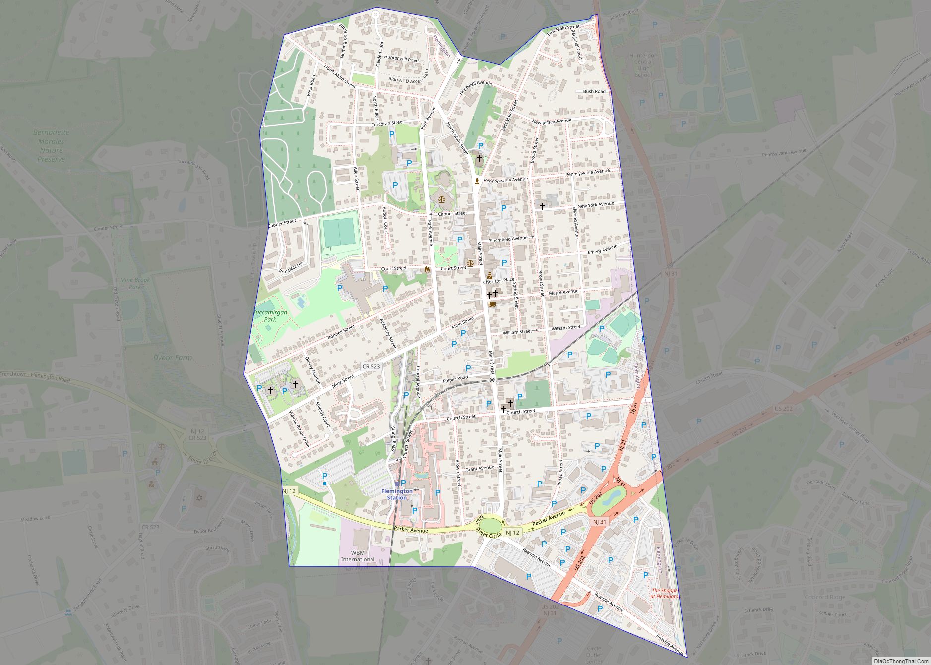
Flemington is a borough in and the county seat of Hunterdon County, in the U.S. state of New Jersey. Most of the borough is located in the Amwell Valley, a low-lying area of the Newark Basin, and the Raritan Valley, the South Branch of the Raritan River, which flows through the center of Flemington. Northwestern portions of the borough sit on the Hunterdon Plateau. As of the 2020 United States census, the borough’s population was 4,876, its highest decennial count ever and an increase of 295 (+6.4%) from the 2010 census count of 4,581, which in turn had reflected an increase of 381 (+9.1%) from the 4,200 counted at the 2000 census.
Flemington is an independent municipality completely surrounded by Raritan Township and is located near the geographic center of the township. Flemington was incorporated as an independent borough by an act of the New Jersey Legislature on April 7, 1910, based on the results of a referendum held on April 26, 1910, and was formally separated from Raritan Township.
| Name: | Flemington borough |
|---|---|
| LSAD Code: | 21 |
| LSAD Description: | borough (suffix) |
| State: | New Jersey |
| County: | Hunterdon County |
| Incorporated: | April 26, 1910 |
| Elevation: | 180 ft (50 m) |
| Total Area: | 1.08 sq mi (2.79 km²) |
| Land Area: | 1.08 sq mi (2.79 km²) |
| Water Area: | 0.00 sq mi (0.00 km²) 0.00% |
| Total Population: | 4,876 |
| Population Density: | 4,514.8/sq mi (1,743.2/km²) |
| ZIP code: | 08822 |
| Area code: | 908 |
| FIPS code: | 3423700 |
| GNISfeature ID: | 885220 |
| Website: | www.historicflemington.com |
Online Interactive Map
Click on ![]() to view map in "full screen" mode.
to view map in "full screen" mode.
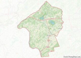
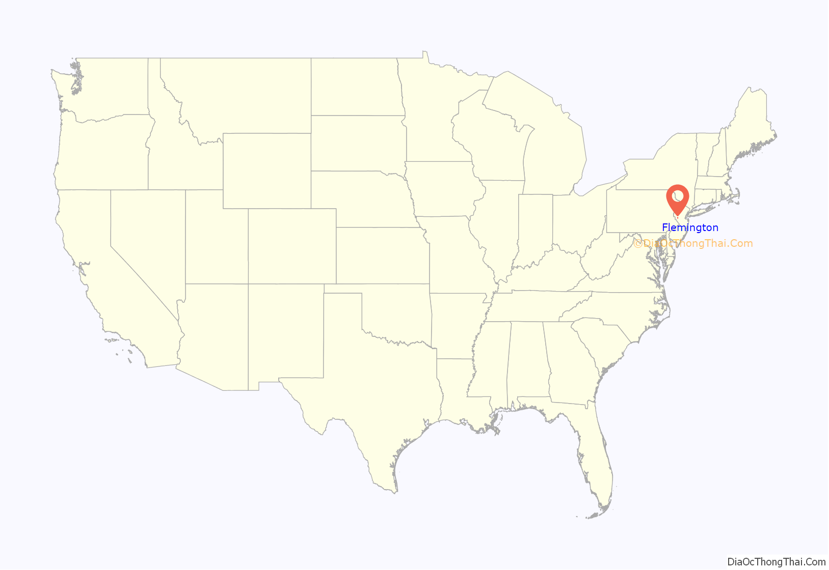
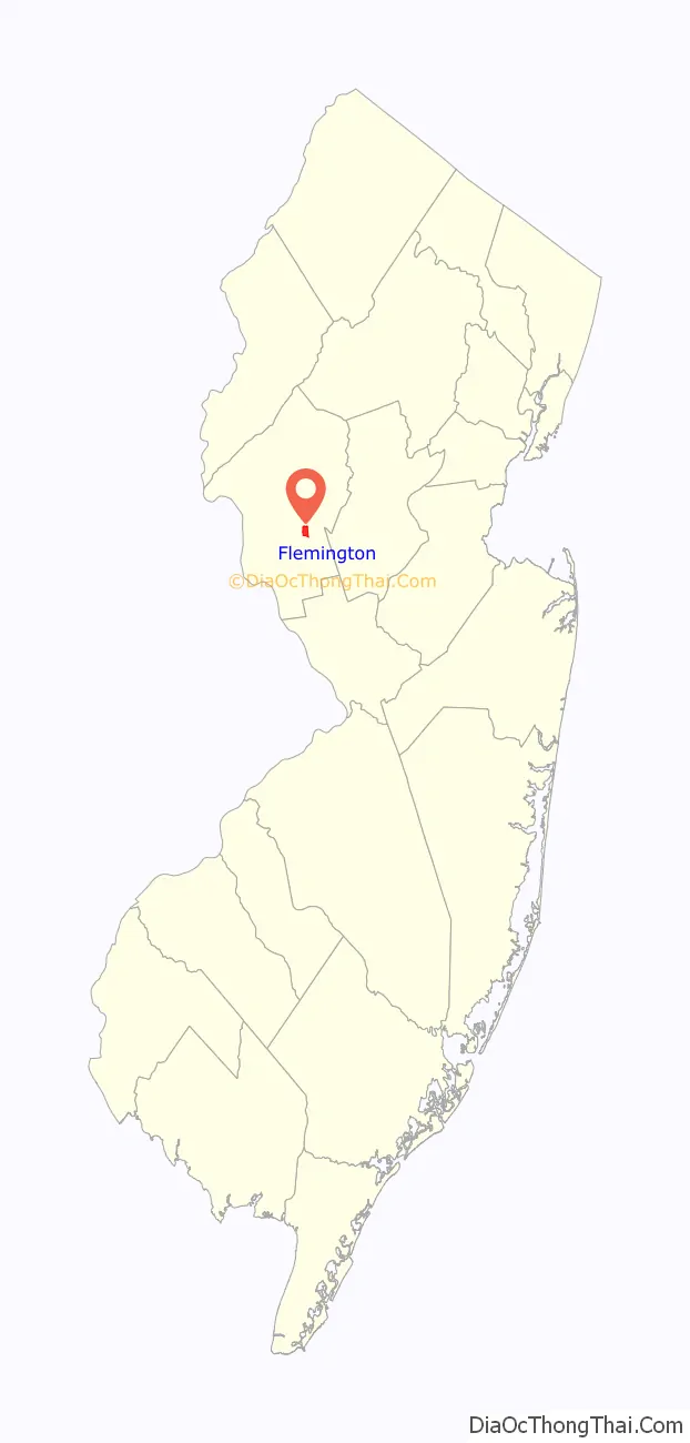
Flemington location map. Where is Flemington borough?
History
18th century
Before European settlement, the land that comprises Flemington, as was all of Hunterdon County, was the territory of the Lenni Lenape Native Americans. In 1712, as part of a land parcel of 9,170 acres (37.1 km), the Flemington area was acquired by William Penn and Daniel Coxe.
The surrounding fertile farmland dictated that the beginnings of Flemington were agricultural. Early German and English settlers engaged in industries dependent on farm products. As time passed poultry and dairy farms superseded crops in agricultural importance. An example of early settlement families was Johann David and Anna Maria Ephland, who emigrated in 1709 from Germany through London to New York and settled on his 147.5-acre (0.597 km) farm in 1717. They raised their seven children, and two from his previous marriage, on the farm that now makes up the core of Flemington.
On December 14, 1776, during the American Revolutionary War, a party of British dragoons led by Cornet Francis Geary raided a store owned by Thomas Lowrey near the Presbyterian Church in Flemington to seize a supply of guns. On their return to Pennington, local militia led by Captain John Schenck ambushed them and killed their commander. This skirmish is now known as the Ambush of Geary.
In 1785, Flemington was chosen as the County Seat of Hunterdon. Fire destroyed the old courthouse in 1826 and the City of Lambertville made an ultimately unsuccessful attempt to have the seat relocated there. Flemington remained the County Seat and the Courthouse which stands today on Main Street was built.
19th century
Present-day Flemington was originally formed as a town by an act of the New Jersey Legislature on March 14, 1870, within portions of Raritan Township. It became a village as of June 11, 1894, still within Raritan Township. Flemington was finally incorporated as an independent borough by an act of the New Jersey Legislature on April 7, 1910, based on the results of a referendum held on April 26, 1910, and was formally separated from Raritan Township. The borough’s incorporation was confirmed on April 27, 1931. the borough was named for Samuel Fleming.
In 1856, the Hunterdon County Agricultural society purchased 40 acres (16 ha) of land that would accommodate the people, exhibits and livestock for the County (Flemington) Fair. The purpose of this Fair was to promote competition between farmers, stock raisers and machinery manufacturers. The fair was held every year at the Flemington Fairgrounds which also was the site of Flemington Fair Speedway, later Flemington Raceway.
20th century
From 1992 through 1995, the speedway hosted the Race of Champions, a race for modified racers. The speedway hosted a NASCAR Craftsman Truck Series race from 1995 to 1998. In 2003, the County Fair adopted a new name, the Hunterdon County 4-H and Agricultural Fair, and moved to the South County Park in East Amwell Township.
On February 13, 1935, a jury in Flemington found Bruno Richard Hauptmann guilty of the kidnapping and murder of Charles Lindbergh’s baby boy. The Union Hotel, opposite the courthouse in which this trial took place, housed several journalists reporting on the event.
21st century
In the 2010s, local controversy erupted over proposed re-development of the shuttered Union Hotel.
Historic landmarks
By 1980, 65% of Flemington borough had been included on the New Jersey Register of Historic Places and is now on the National Register of Historic Places as the Flemington Historic District.
- Union Hotel – Early 19th century hotel in downtown Flemington that served as a restaurant until its 2008 closure. The current structure dates to 1877, built on the site of what had been a stagecoach stop that dates to 1814.
- Hunterdon County Courthouse – Historic court house where the Lindbergh Trial took place. Now used for County offices.
- Fleming Castle / Samuel Fleming House – First house in Flemington, 5 Bonnell Street. Purchased by the Borough of Flemington in 2005 and operated as a historical museum by the Friends of Fleming Castle.
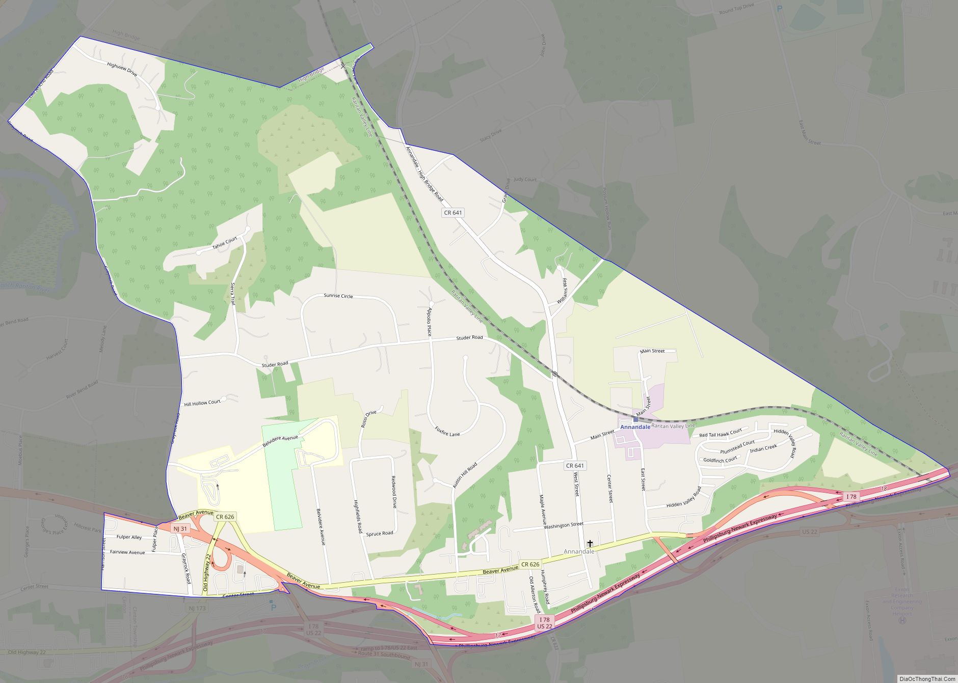
Flemington Road Map
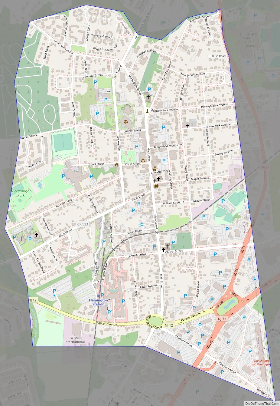
Flemington city Satellite Map

Geography
According to the U.S. Census Bureau, the borough had a total area of 1.08 square miles (2.79 km), all of which was land. Flemington is completely surrounded by Raritan Township, making it part one of 21 pairs of “doughnut towns” in the state, where one municipality entirely surrounds another.
Climate
See also
Map of New Jersey State and its subdivision: Map of other states:- Alabama
- Alaska
- Arizona
- Arkansas
- California
- Colorado
- Connecticut
- Delaware
- District of Columbia
- Florida
- Georgia
- Hawaii
- Idaho
- Illinois
- Indiana
- Iowa
- Kansas
- Kentucky
- Louisiana
- Maine
- Maryland
- Massachusetts
- Michigan
- Minnesota
- Mississippi
- Missouri
- Montana
- Nebraska
- Nevada
- New Hampshire
- New Jersey
- New Mexico
- New York
- North Carolina
- North Dakota
- Ohio
- Oklahoma
- Oregon
- Pennsylvania
- Rhode Island
- South Carolina
- South Dakota
- Tennessee
- Texas
- Utah
- Vermont
- Virginia
- Washington
- West Virginia
- Wisconsin
- Wyoming