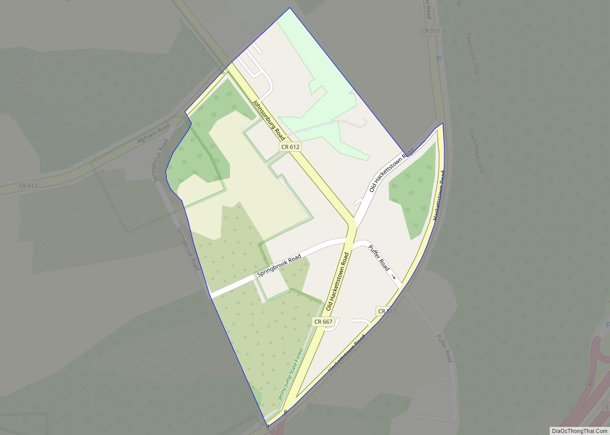
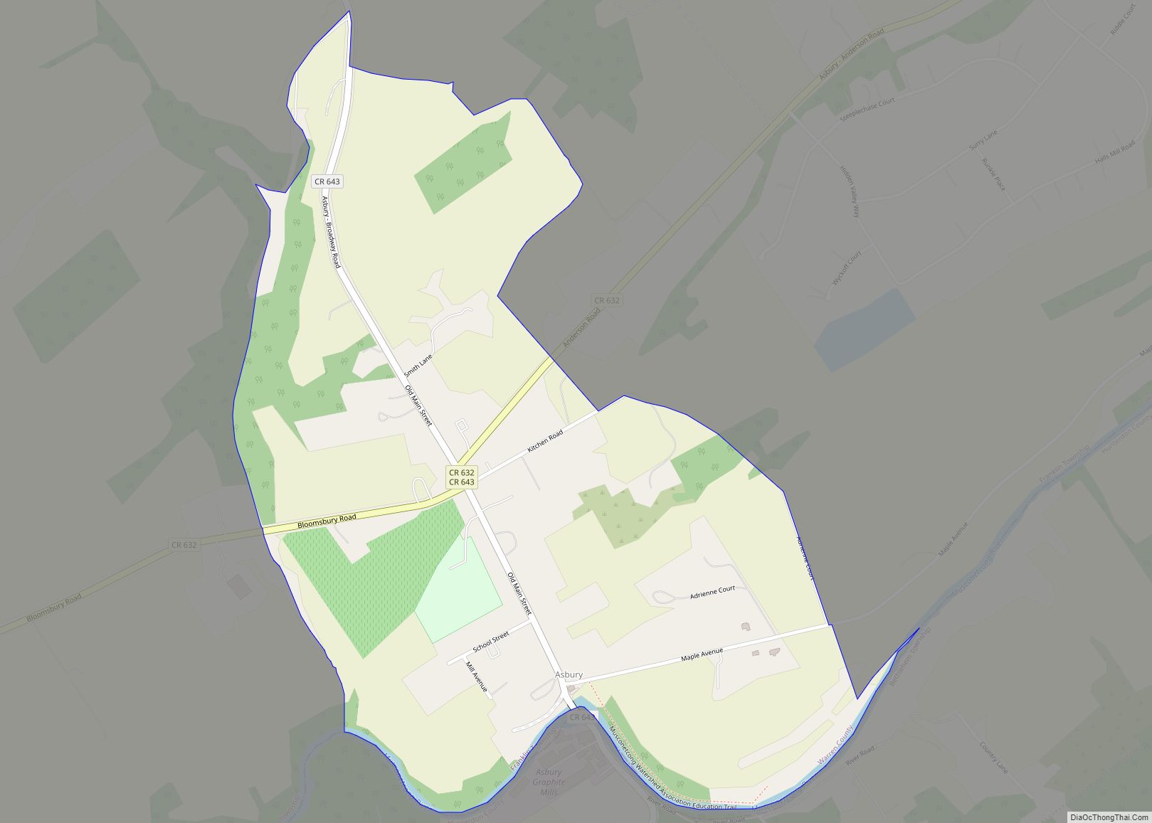
Asbury is an unincorporated community and census-designated place (CDP) located within Franklin Township in Warren County, New Jersey, United States, that was created as part of the 2010 United States Census. As of the 2010 Census, the CDP’s population was 273.
| Name: | Asbury CDP |
|---|---|
| LSAD Code: | 57 |
| LSAD Description: | CDP (suffix) |
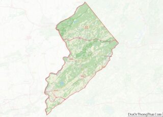
| State: | New Jersey |
| County: | Warren County |
| Elevation: | 338 ft (103 m) |
| Total Area: | 0.70 sq mi (1.82 km²) |
| Land Area: | 0.69 sq mi (1.80 km²) |
| Water Area: | 0.01 sq mi (0.03 km²) 0.85% |
| Total Population: | 270 |
| Population Density: | 389.61/sq mi (150.40/km²) |
| ZIP code: | 08802 |
| Area code: | 908 |
| FIPS code: | 3401900 |
| GNISfeature ID: | 874391 2583966 |
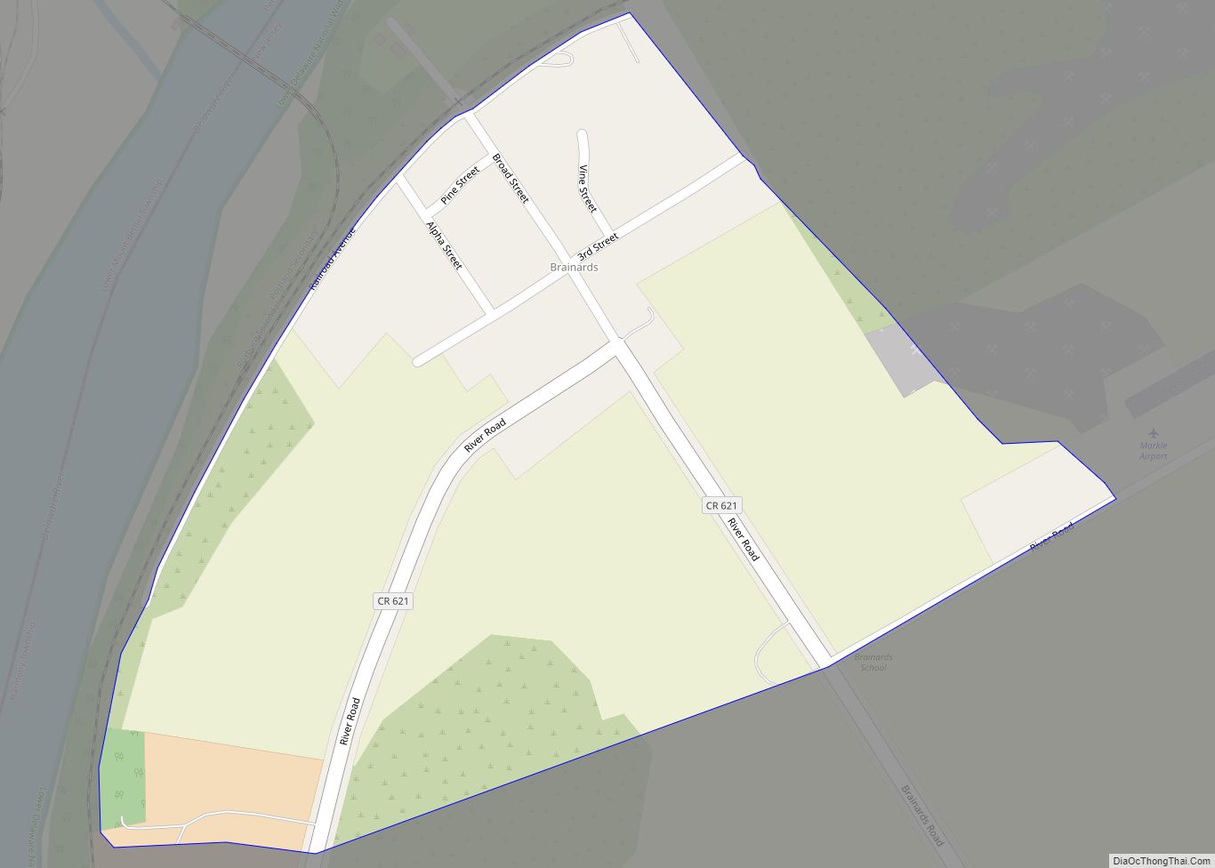
Online Interactive Map
Click on ![]() to view map in "full screen" mode.
to view map in "full screen" mode.
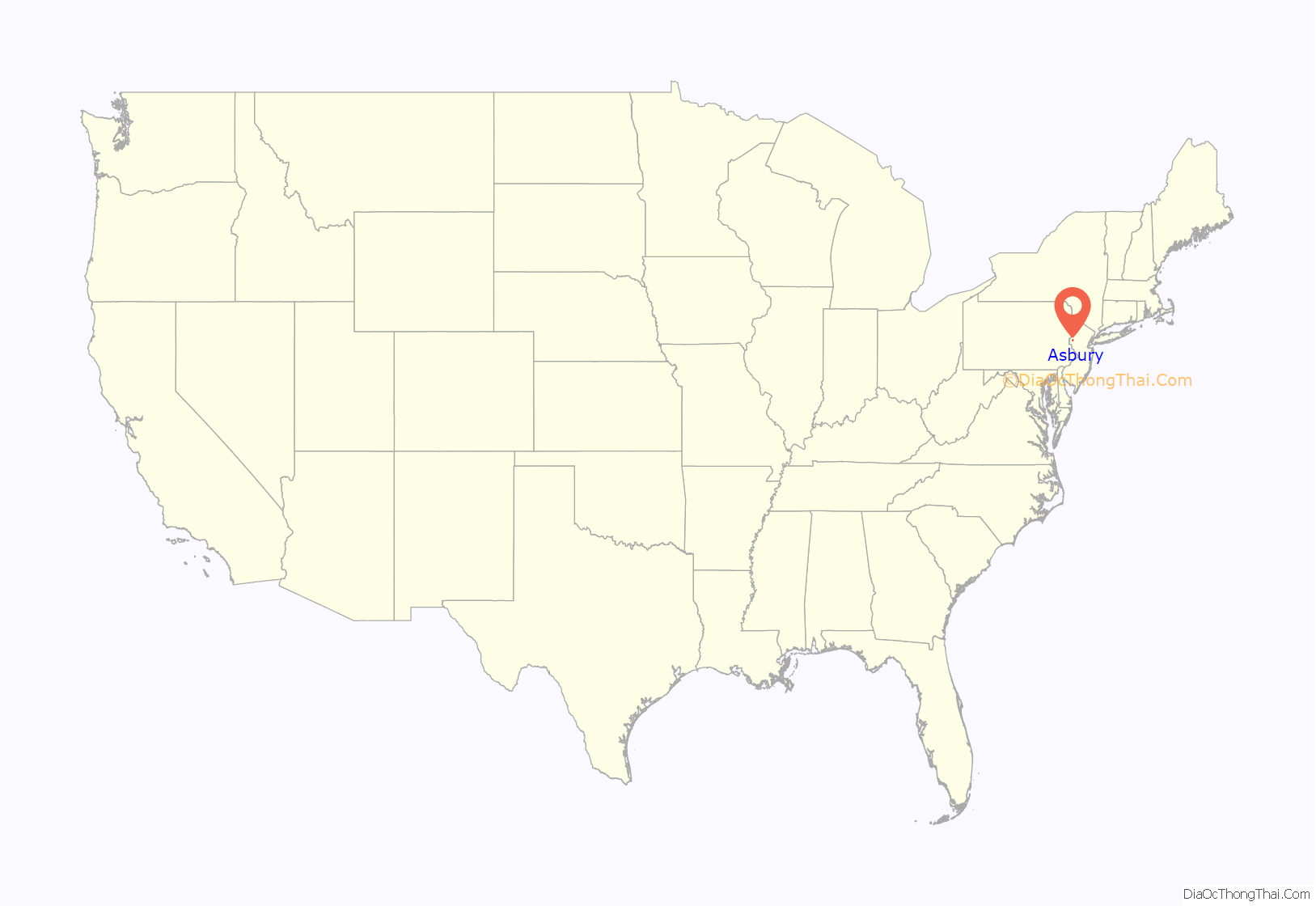
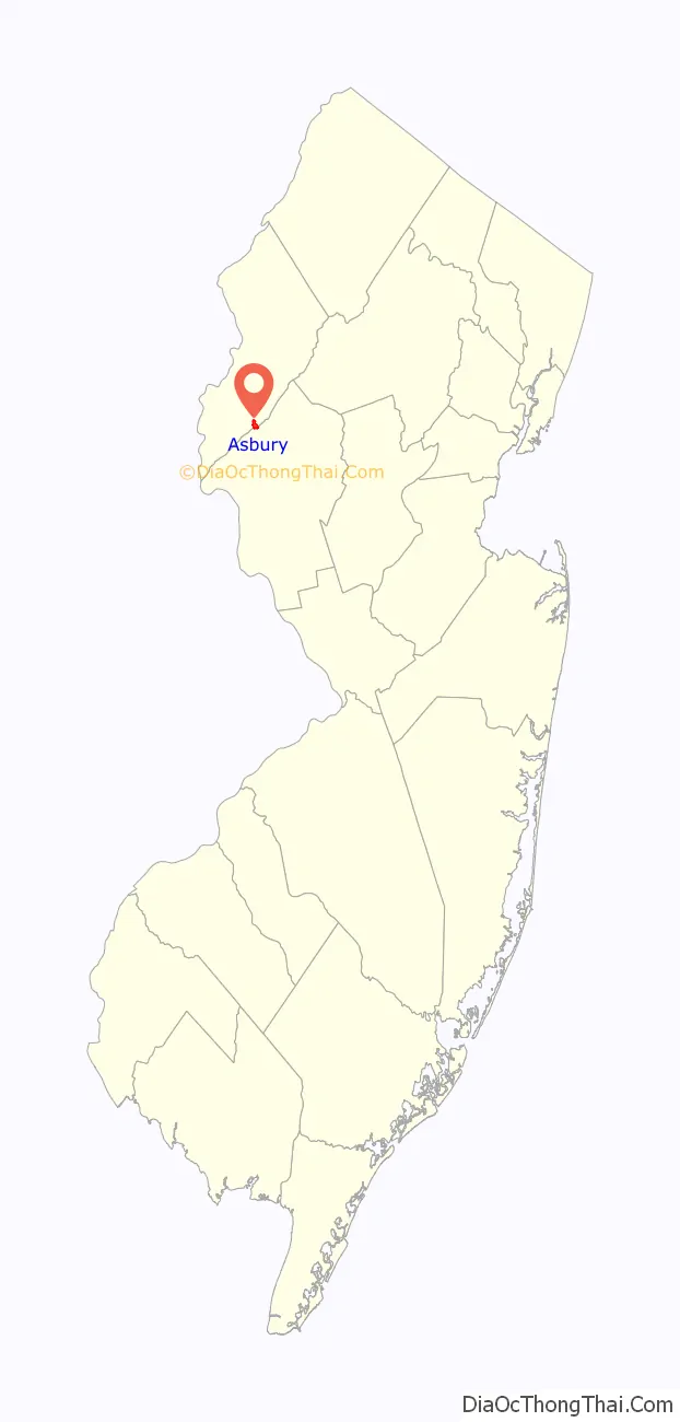
Asbury location map. Where is Asbury CDP?
History
The community was named for Francis Asbury, the first American bishop of the Methodist Episcopal Church in the United States.
The Asbury Historic District encompassing the community was added to the National Register of Historic Places on March 19, 1993, for its significance in architecture, industry, religion, community development, politics/government, and commerce.
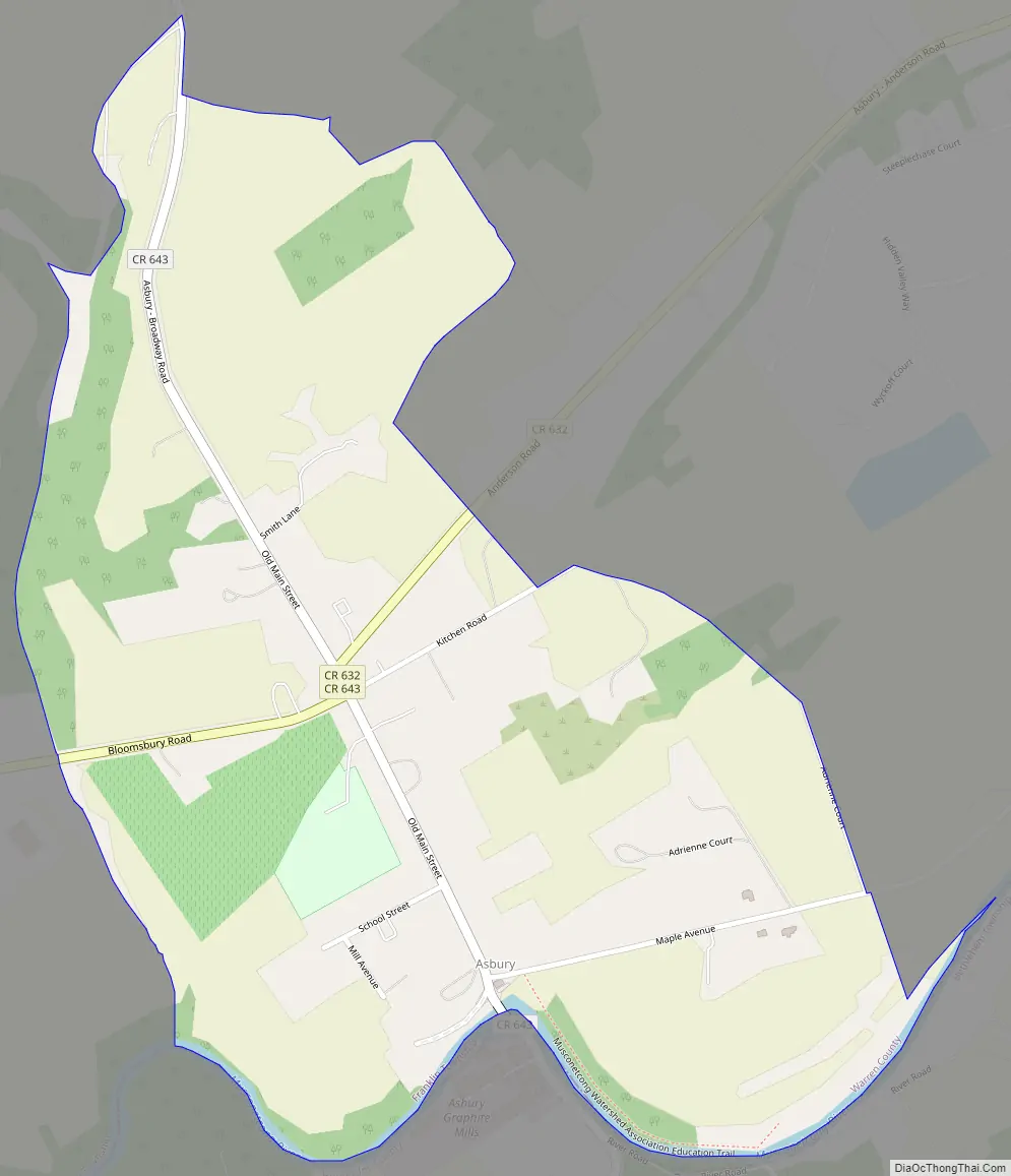
Asbury Road Map
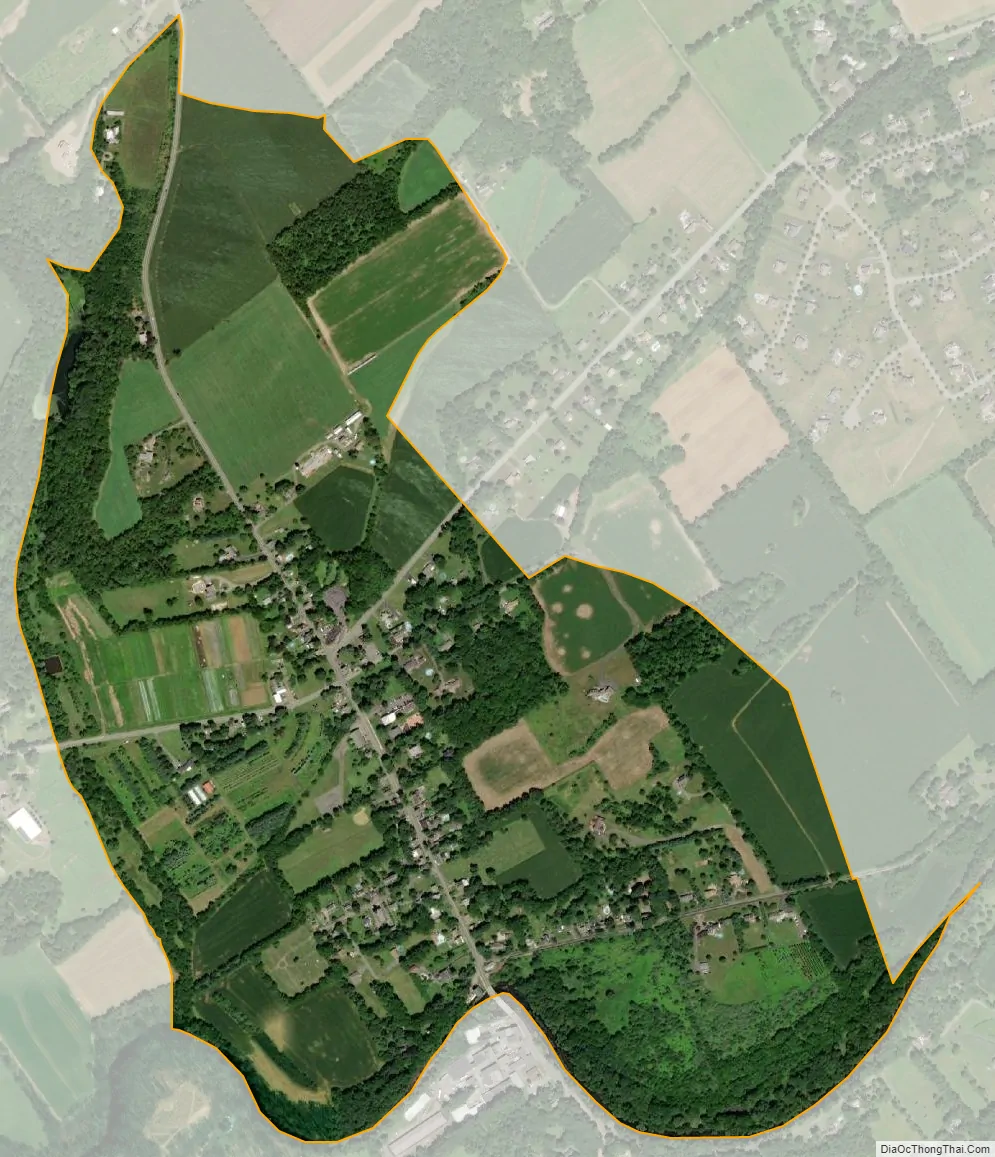
Asbury city Satellite Map
Geography
According to the United States Census Bureau, Asbury had a total area of 0.700 square miles (1.813 km), including 0.694 square miles (1.798 km) of land and 0.006 square miles (0.015 km) of water (0.85%).
See also
Map of New Jersey State and its subdivision: Map of other states:- Alabama
- Alaska
- Arizona
- Arkansas
- California
- Colorado
- Connecticut
- Delaware
- District of Columbia
- Florida
- Georgia
- Hawaii
- Idaho
- Illinois
- Indiana
- Iowa
- Kansas
- Kentucky
- Louisiana
- Maine
- Maryland
- Massachusetts
- Michigan
- Minnesota
- Mississippi
- Missouri
- Montana
- Nebraska
- Nevada
- New Hampshire
- New Jersey
- New Mexico
- New York
- North Carolina
- North Dakota
- Ohio
- Oklahoma
- Oregon
- Pennsylvania
- Rhode Island
- South Carolina
- South Dakota
- Tennessee
- Texas
- Utah
- Vermont
- Virginia
- Washington
- West Virginia
- Wisconsin
- Wyoming