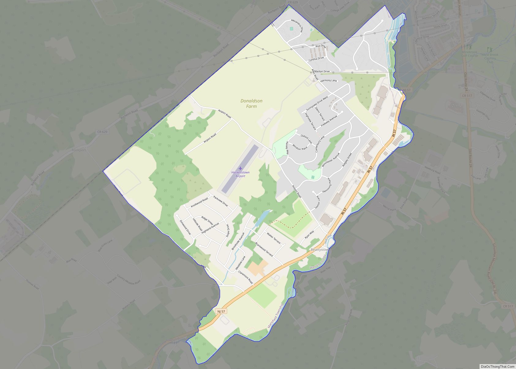
Beattystown is an unincorporated community and census-designated place (CDP) located within Mansfield Township, in Warren County, in the U.S. state of New Jersey. As of the 2010 United States Census, the CDP’s population was 4,554.
Beattystown has been listed as one of the 10 most endangered historic sites in New Jersey by Preservation New Jersey.
Beattystown was named after George Beatty, who built a mill here c. 1762.
| Name: | Beattystown CDP |
|---|---|
| LSAD Code: | 57 |
| LSAD Description: | CDP (suffix) |
| State: | New Jersey |
| County: | Warren County |
| Elevation: | 640 ft (195 m) |
| Total Area: | 3.05 sq mi (7.90 km²) |
| Land Area: | 3.03 sq mi (7.84 km²) |
| Water Area: | 0.02 sq mi (0.06 km²) 0.81% |
| Total Population: | 4,701 |
| Population Density: | 1,553.02/sq mi (599.56/km²) |
| ZIP code: | 07201 |
| Area code: | 908 |
| FIPS code: | 3404252 |
| GNISfeature ID: | 02389184 |
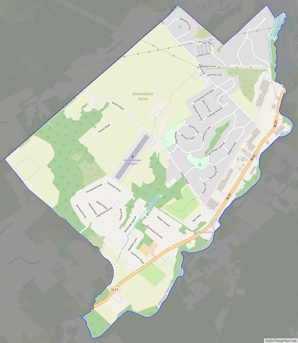
Online Interactive Map
Click on ![]() to view map in "full screen" mode.
to view map in "full screen" mode.
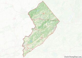
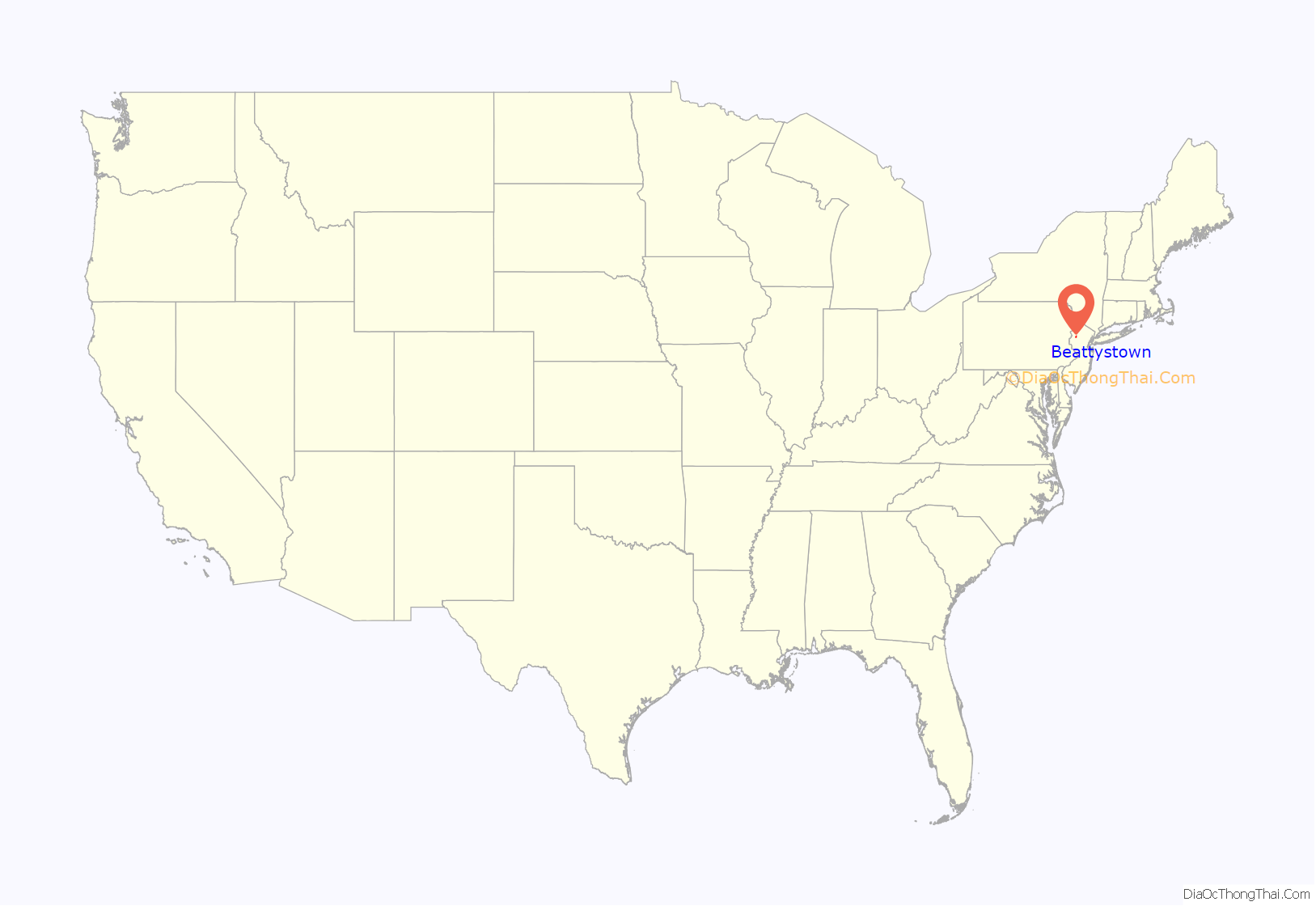
Beattystown location map. Where is Beattystown CDP?

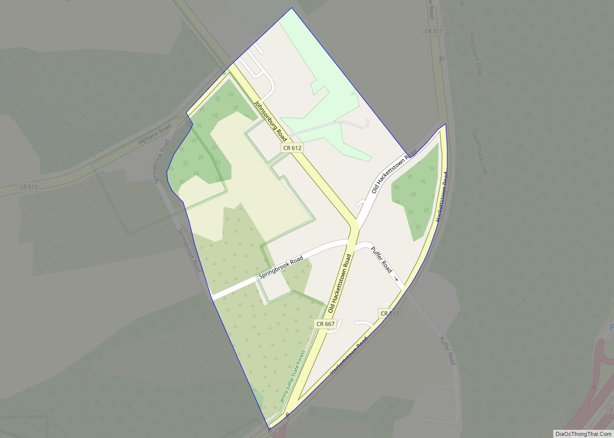
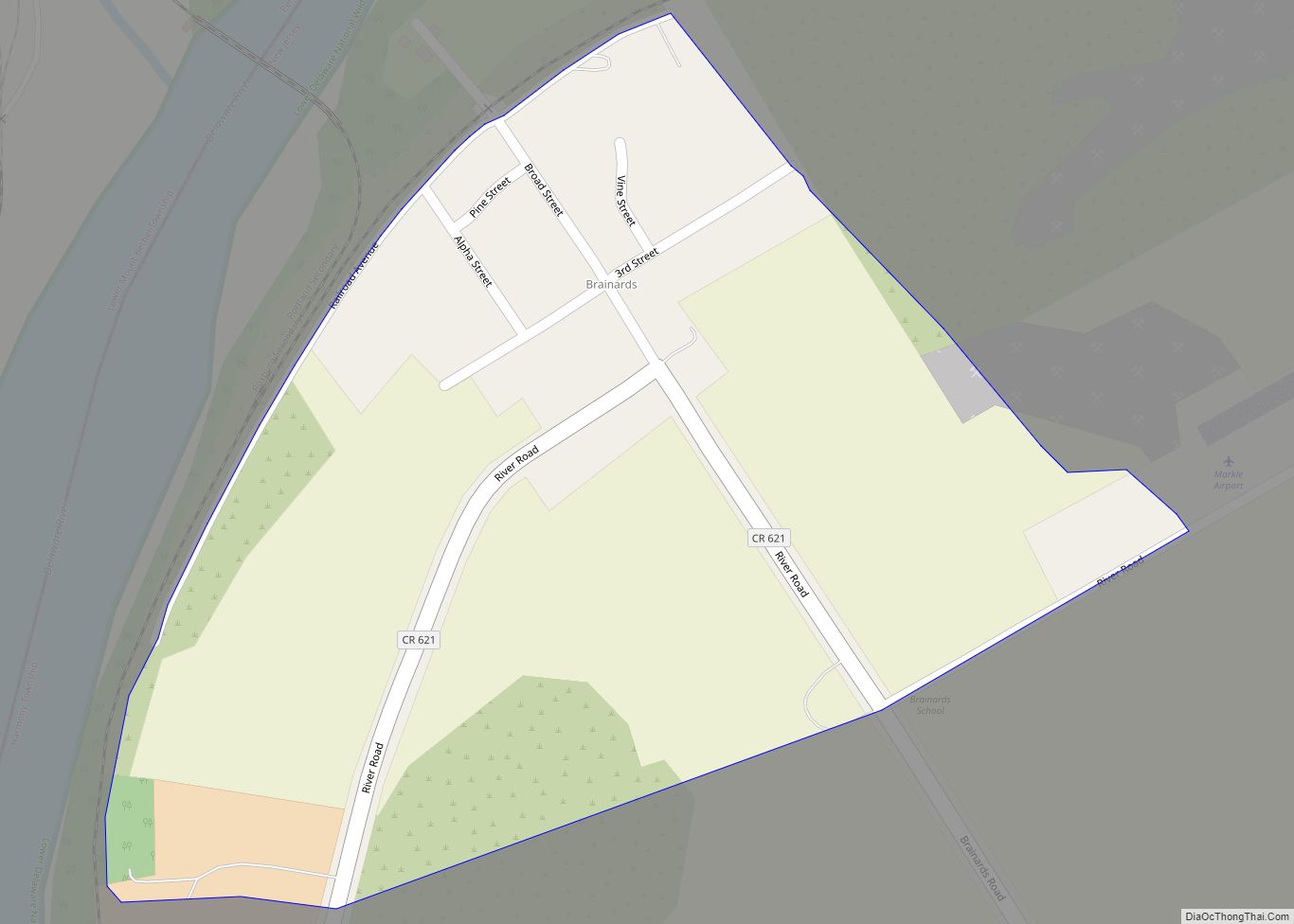
Beattystown Road Map
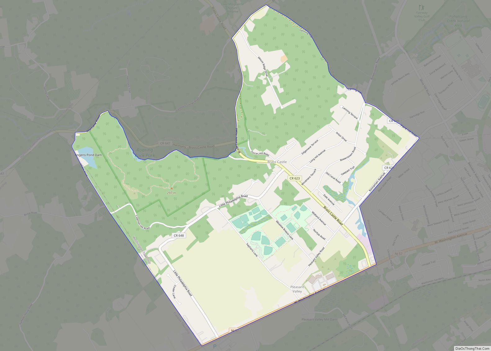
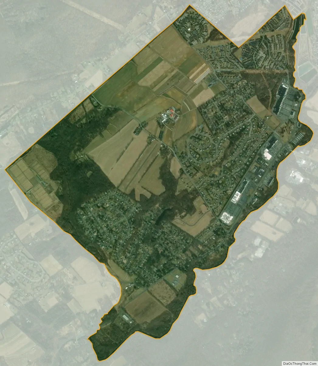
Beattystown city Satellite Map
Geography
According to the United States Census Bureau, Beattystown had a total area of 3.036 square miles (7.863 km), including 3.011 square miles (7.799 km) of land and 0.025 square miles (0.064 km) of water (0.81%).
See also
Map of New Jersey State and its subdivision: Map of other states:- Alabama
- Alaska
- Arizona
- Arkansas
- California
- Colorado
- Connecticut
- Delaware
- District of Columbia
- Florida
- Georgia
- Hawaii
- Idaho
- Illinois
- Indiana
- Iowa
- Kansas
- Kentucky
- Louisiana
- Maine
- Maryland
- Massachusetts
- Michigan
- Minnesota
- Mississippi
- Missouri
- Montana
- Nebraska
- Nevada
- New Hampshire
- New Jersey
- New Mexico
- New York
- North Carolina
- North Dakota
- Ohio
- Oklahoma
- Oregon
- Pennsylvania
- Rhode Island
- South Carolina
- South Dakota
- Tennessee
- Texas
- Utah
- Vermont
- Virginia
- Washington
- West Virginia
- Wisconsin
- Wyoming