Bloomsbury is a borough in Hunterdon County, in the U.S. state of New Jersey. As of the 2020 United States census, the borough’s population was 792, a decrease of 78 (−9.0%) from the 2010 census count of 870, which in turn reflected a decline of 16 (−1.8%) from the 886 counted in the 2000 census.
Bloomsbury was incorporated as a borough by an act of the New Jersey Legislature on March 30, 1905, from portions of Bethlehem Township.
Bloomsbury was once known as “Johnson’s Iron Works”, owned by Robert Johnson, on the north bank of the river. The current name is derived either from the Bloom family, influential in the early history of the town, or from the iron ore processed into masses of wrought iron that are known as “blooms”.
| Name: | Bloomsbury borough |
|---|---|
| LSAD Code: | 21 |
| LSAD Description: | borough (suffix) |
| State: | New Jersey |
| County: | Hunterdon County |
| Incorporated: | March 30, 1905 |
| Elevation: | 335 ft (102 m) |
| Total Area: | 0.96 sq mi (2.49 km²) |
| Land Area: | 0.93 sq mi (2.42 km²) |
| Water Area: | 0.03 sq mi (0.08 km²) 3.23% |
| Total Population: | 792 |
| Population Density: | 849.4/sq mi (328.0/km²) |
| ZIP code: | 08804 |
| Area code: | 908 exchange: 479 |
| FIPS code: | 3406370 |
| GNISfeature ID: | 0885162 |
| Website: | www.bloomsburyborough.com |
Online Interactive Map
Click on ![]() to view map in "full screen" mode.
to view map in "full screen" mode.
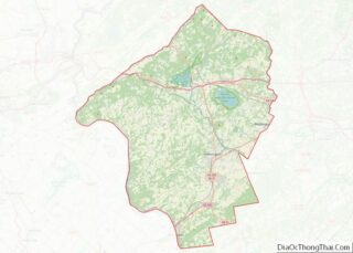
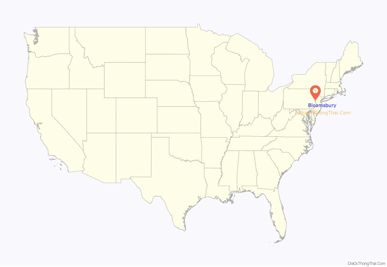
Bloomsbury location map. Where is Bloomsbury borough?
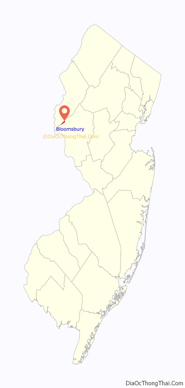
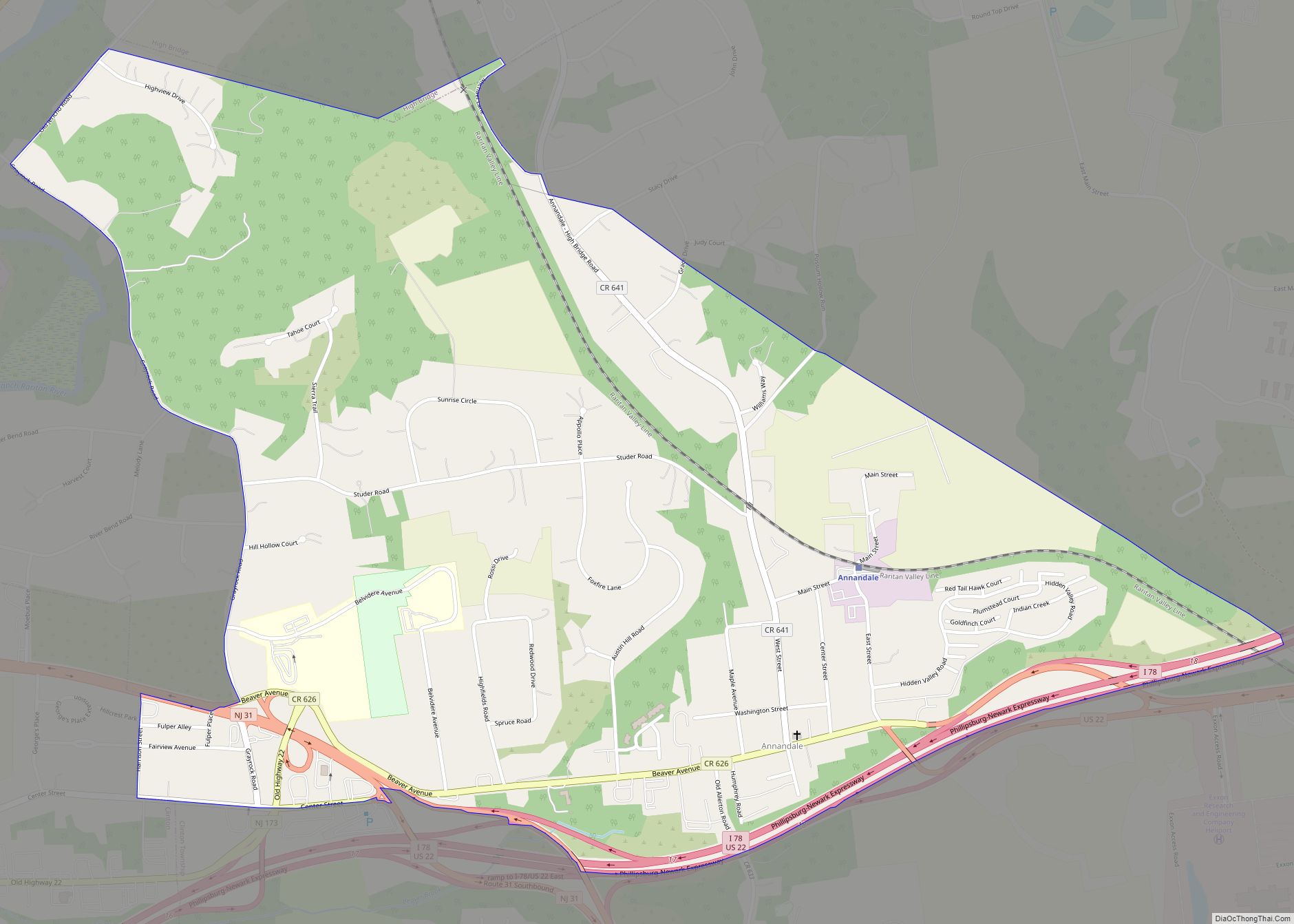
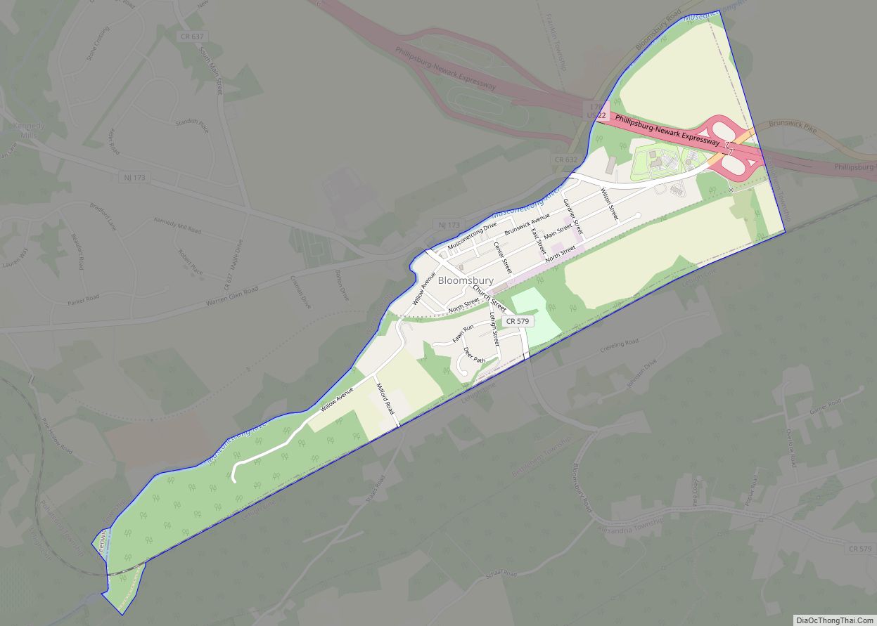
Bloomsbury Road Map
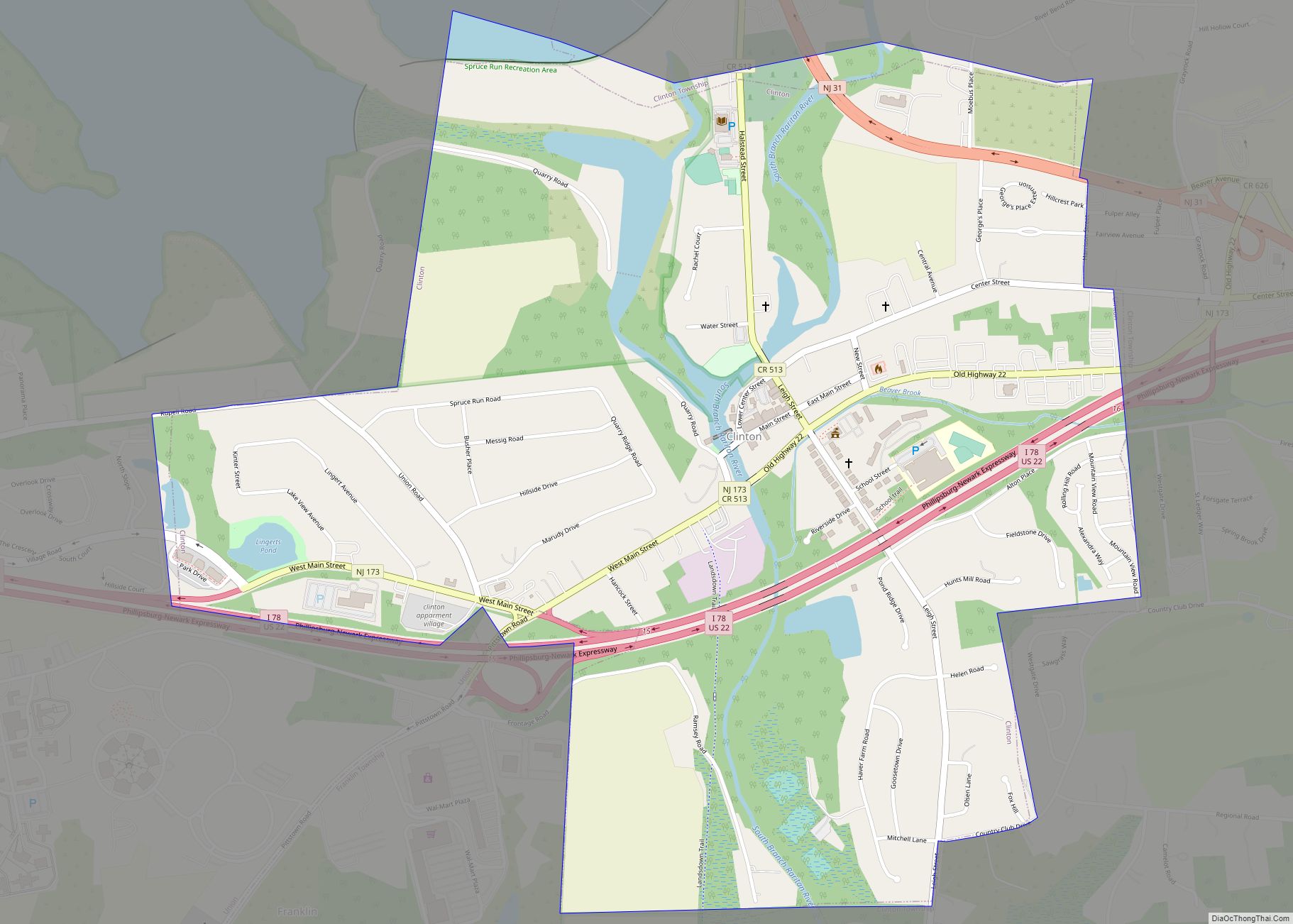
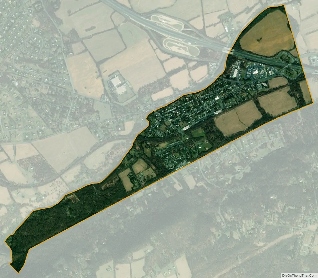
Bloomsbury city Satellite Map
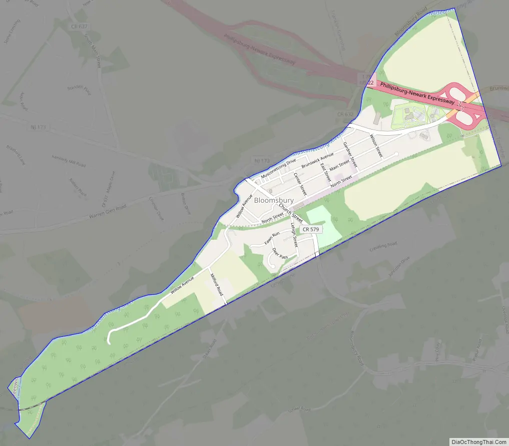
Geography
According to the U.S. Census Bureau, the borough had a total area of 0.96 square miles (2.49 km), including 0.93 square miles (2.41 km) of land and 0.03 square miles (0.08 km) of water (3.23%). The borough borders the municipalities of Bethlehem Township in Hunterdon County; and Franklin Township, Greenwich Township and Pohatcong Township in Warren County. Bloomsbury is located on the south side of the Musconetcong River in the northwest corner of Hunterdon County and is the third-smallest municipality in Hunterdon County.
See also
Map of New Jersey State and its subdivision: Map of other states:- Alabama
- Alaska
- Arizona
- Arkansas
- California
- Colorado
- Connecticut
- Delaware
- District of Columbia
- Florida
- Georgia
- Hawaii
- Idaho
- Illinois
- Indiana
- Iowa
- Kansas
- Kentucky
- Louisiana
- Maine
- Maryland
- Massachusetts
- Michigan
- Minnesota
- Mississippi
- Missouri
- Montana
- Nebraska
- Nevada
- New Hampshire
- New Jersey
- New Mexico
- New York
- North Carolina
- North Dakota
- Ohio
- Oklahoma
- Oregon
- Pennsylvania
- Rhode Island
- South Carolina
- South Dakota
- Tennessee
- Texas
- Utah
- Vermont
- Virginia
- Washington
- West Virginia
- Wisconsin
- Wyoming