Bound Brook is a borough in Somerset County, in the U.S. state of New Jersey, located along the Raritan River. As of the 2020 United States census, the borough’s population was 11,988, an increase of 1,586 (+15.2%) from the 2010 census count of 10,402, which in turn reflected an increase of 247 (+2.4%) from the 10,155 counted in the 2000 census, .
Bound Brook was originally incorporated as a town by an act of the New Jersey Legislature on March 24, 1869, within portions of Bridgewater Township. On February 11, 1891, it was reincorporated as a borough, based on the results of a referendum held on the previous day.
| Name: | Bound Brook borough |
|---|---|
| LSAD Code: | 21 |
| LSAD Description: | borough (suffix) |
| State: | New Jersey |
| County: | Somerset County |
| Incorporated: | February 11, 1891 |
| Elevation: | 43 ft (13 m) |
| Total Area: | 1.70 sq mi (4.39 km²) |
| Land Area: | 1.66 sq mi (4.30 km²) |
| Water Area: | 0.03 sq mi (0.09 km²) 2.00% |
| Total Population: | 11,988 |
| Population Density: | 7,217.3/sq mi (2,786.6/km²) |
| ZIP code: | 08805 |
| Area code: | 732 |
| FIPS code: | 3406790 |
| GNISfeature ID: | 885166 |
| Website: | www.boundbrook-nj.org |
Online Interactive Map
Click on ![]() to view map in "full screen" mode.
to view map in "full screen" mode.
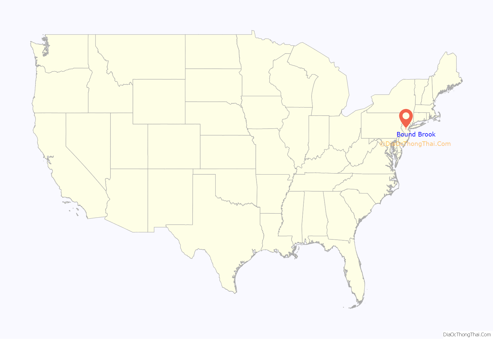
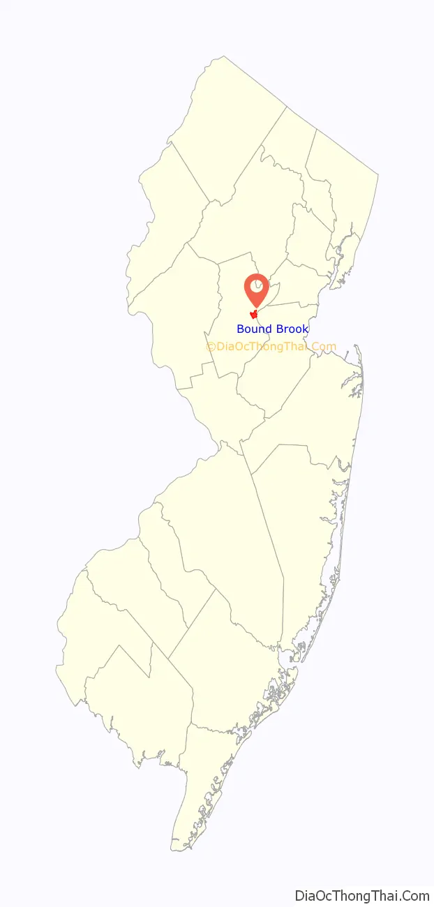
Bound Brook location map. Where is Bound Brook borough?
History
The area was first settled in 1681 and a community was established near the Bound Brook stream of the same name, which flows into the Raritan River via the Green Brook on the eastern side of the borough. The brook, which was mentioned as a boundary in a Native American deed, provides the source of the borough’s name.
A wooden bridge over the Raritan River was erected as early as 1761 and named Queen’s Bridge in 1767. Later, it became a covered bridge. During the American Revolutionary War, the bridge was used repeatedly by both sides including during the Battle of Bound Brook in 1777. In 1875, the wooden bridge was replaced by a steel pipe truss bridge. More than 100 years later, that bridge was itself replaced by a steel girder bridge in 1984, still using the old pillars. The bridge was renovated and repaved in 2007.
The Battle of Bound Brook, one of the battles in the New York and New Jersey campaign during the American Revolutionary War, occurred on April 13, 1777, and resulted in a defeat for the Continental Army, who were routed by about 4,000 troops under British command.
On April 22, 1921, over 100 people were injured in Bound Brook, and one died, when a cloud of phosgene gas began spreading over the city in the early morning hours, the result of a faulty valve of a storage tank at a paint factory in town. The intervention of four people stopped further escape of the phosgene, which had been used in concentrated form as a chemical weapon during World War I.
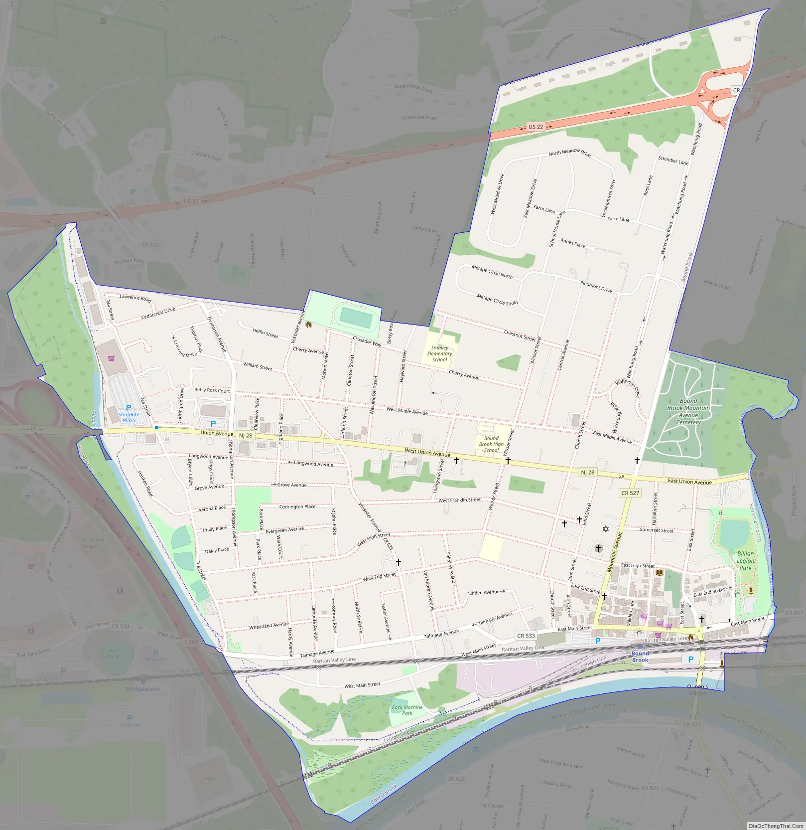
Bound Brook Road Map
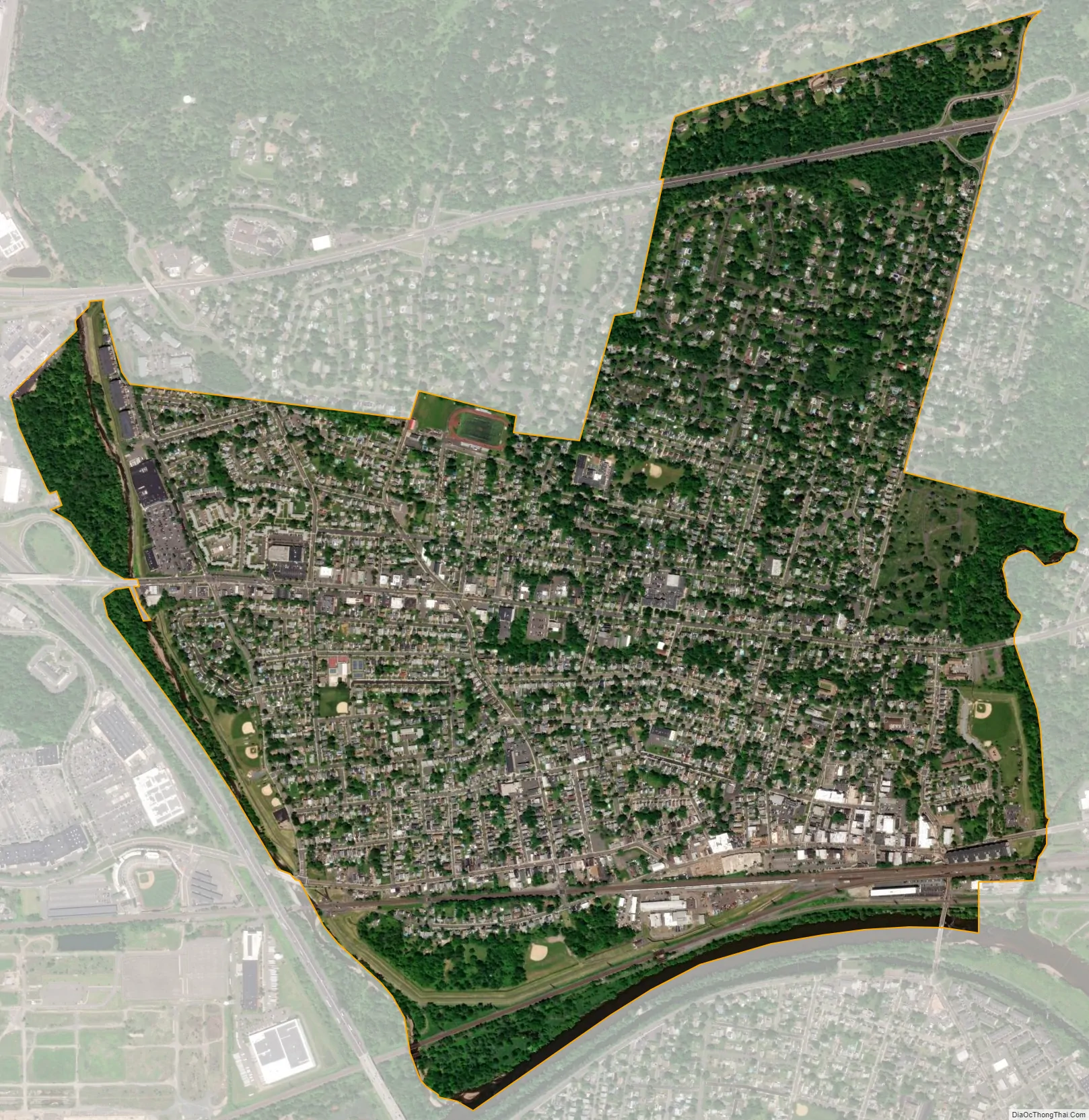
Bound Brook city Satellite Map
Geography
According to the United States Census Bureau, the borough had a total area of 1.70 square miles (4.39 km), including 1.66 square miles (4.30 km) of land and 0.03 square miles (0.09 km) of water (2.00%).
The borough borders the municipalities of Bridgewater Township and South Bound Brook in Somerset County; and Middlesex Borough in Middlesex County.
Since the southern portion of the borough (including the downtown area) is a low-lying natural flood plain of the Raritan River, Bound Brook has suffered occasional severe flooding after heavy rain. Extensive flood control measures were put into place during 1999–2015 to provide protection from 150-year floods.
See also
Map of New Jersey State and its subdivision: Map of other states:- Alabama
- Alaska
- Arizona
- Arkansas
- California
- Colorado
- Connecticut
- Delaware
- District of Columbia
- Florida
- Georgia
- Hawaii
- Idaho
- Illinois
- Indiana
- Iowa
- Kansas
- Kentucky
- Louisiana
- Maine
- Maryland
- Massachusetts
- Michigan
- Minnesota
- Mississippi
- Missouri
- Montana
- Nebraska
- Nevada
- New Hampshire
- New Jersey
- New Mexico
- New York
- North Carolina
- North Dakota
- Ohio
- Oklahoma
- Oregon
- Pennsylvania
- Rhode Island
- South Carolina
- South Dakota
- Tennessee
- Texas
- Utah
- Vermont
- Virginia
- Washington
- West Virginia
- Wisconsin
- Wyoming


