Middlesex is a borough in Middlesex County, in the U.S. state of New Jersey. It is located within the Raritan Valley region. As of the 2020 United States census, the borough’s population was 14,636, its highest decennial count and an increase of 1,001 (+7.3%) from the 2010 census count of 13,635, which in turn reflected a decline of 82 (−0.6%) from the 13,717 counted at the 2000 census.
Middlesex was incorporated as a borough by an act of the New Jersey Legislature on April 9, 1913, from portions of Piscataway, based on the results of a referendum held on May 6, 1913. The borough was named after Middlesex, England.
| Name: | Middlesex borough |
|---|---|
| LSAD Code: | 21 |
| LSAD Description: | borough (suffix) |
| State: | New Jersey |
| County: | Middlesex County |
| Incorporated: | April 9, 1913 |
| Elevation: | 39 ft (12 m) |
| Total Area: | 3.51 sq mi (9.09 km²) |
| Land Area: | 3.49 sq mi (9.03 km²) |
| Water Area: | 0.02 sq mi (0.06 km²) 0.63% |
| Total Population: | 14,636 |
| Population Density: | 4,196.1/sq mi (1,620.1/km²) |
| ZIP code: | 08846 |
| Area code: | 732 |
| FIPS code: | 3445900 |
| GNISfeature ID: | 0885299 |
| Website: | www.middlesexboro-nj.gov |
Online Interactive Map
Click on ![]() to view map in "full screen" mode.
to view map in "full screen" mode.
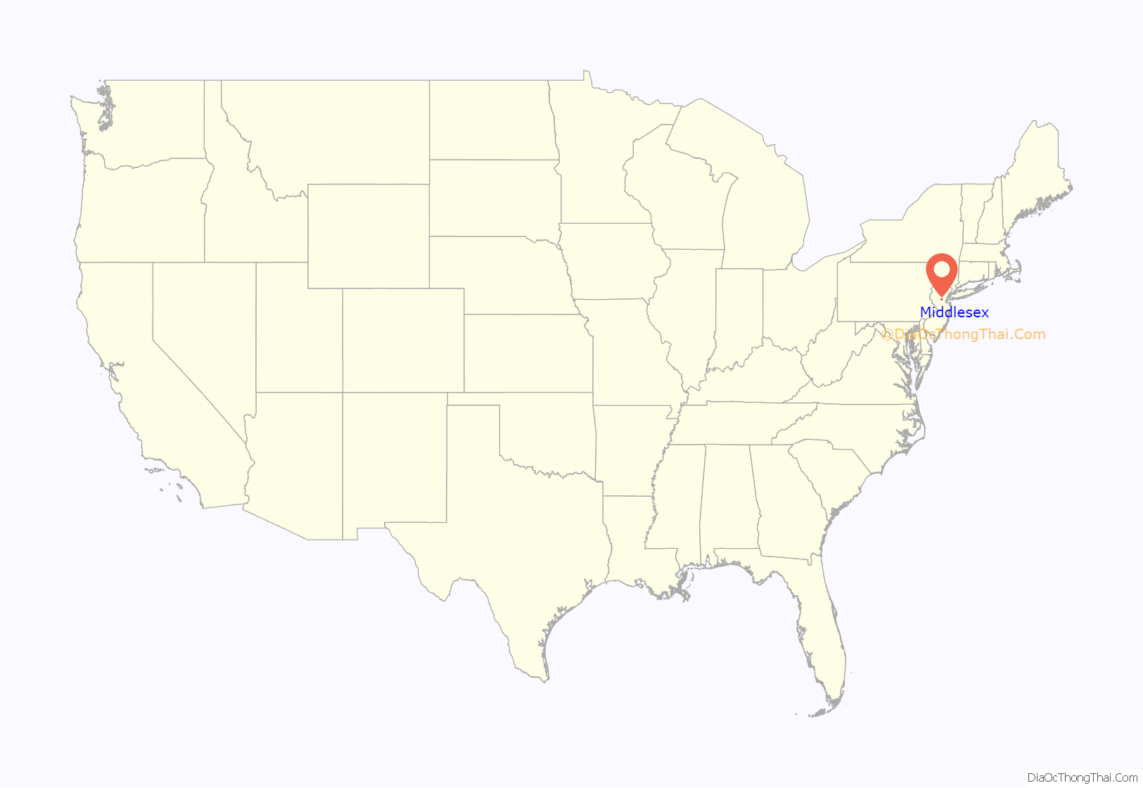
Middlesex location map. Where is Middlesex borough?

History
The Harris Lane School was a one-room schoolhouse that was the oldest school in Middlesex County, dating back to its construction in the 1790s. The original Pierce School was known as the East Bound Brook School House and The Parker House was also used for education until it was converted into a two-family house. As the Borough grew new schools were constructed to accommodate many more students. Our Lady of Mt. Virgin School was the first parochial school built in 1954.
In 1905, the Lincoln section of Middlesex organized a volunteer fire company and that set the organization of four other fire companies in the borough.
Middlesex was a portion of Piscataway Township, until May 6, 1913, when it was incorporated as a separate entity through the action of the state legislature and local referendum. George Harris was elected as the first mayor and the first borough council was elected at the same time. Two constables were the law enforcement officers and were soon assisted by five appointed marshals.
Uranium processing and aftermath
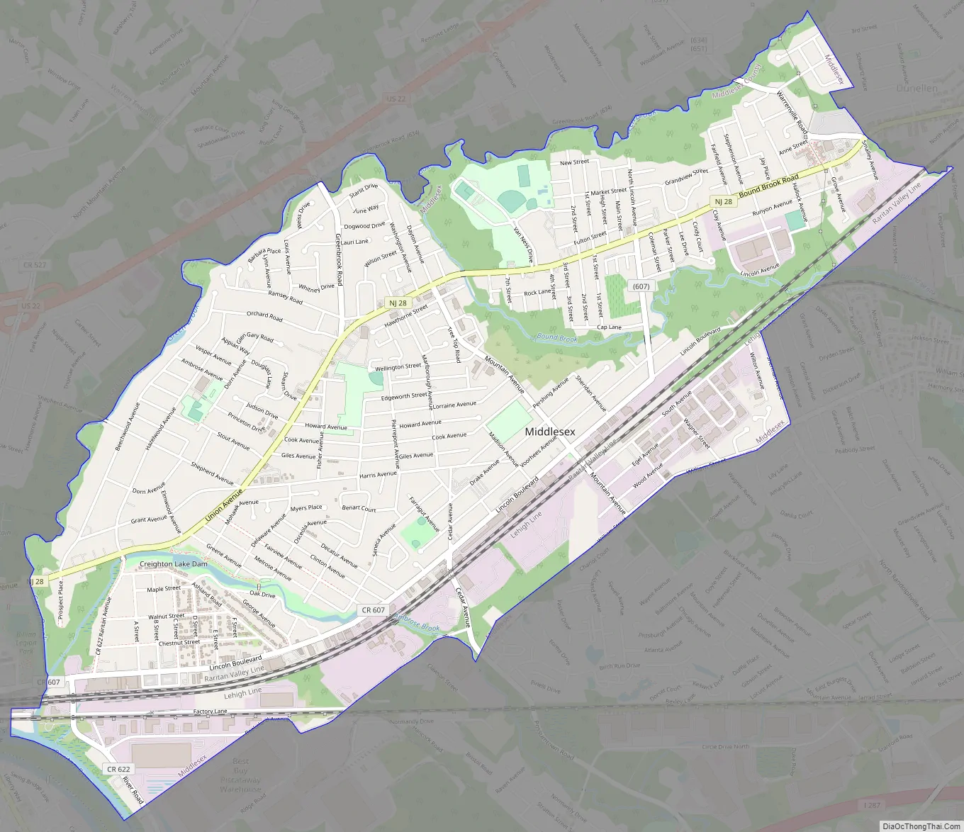
Middlesex Road Map
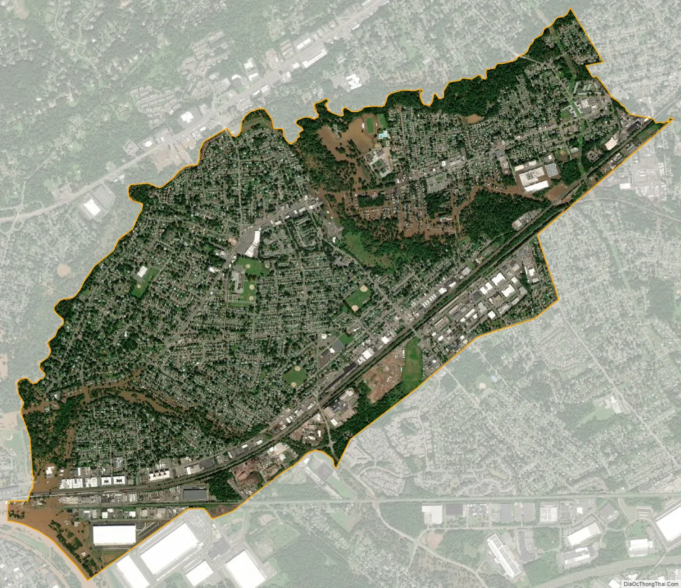
Middlesex city Satellite Map
Geography
According to the United States Census Bureau, the borough had a total area of 3.51 square miles (9.09 km), including 3.49 square miles (9.03 km) of land and 0.02 square miles (0.06 km) of water (0.63%).
Unincorporated communities, localities and place names located partially or completely within the borough include East Bound Brook and Lincoln.
The borough borders the Middlesex County municipalities of Dunellen and Piscataway Township in Middlesex County; and Bound Brook, Bridgewater Township, Green Brook Township and South Bound Brook in Somerset County.
Middlesex is in the central division of the Raritan Valley (a line of cities in central New Jersey), along with Dunellen, Bound Brook, and South Bound Brook.
See also
Map of New Jersey State and its subdivision: Map of other states:- Alabama
- Alaska
- Arizona
- Arkansas
- California
- Colorado
- Connecticut
- Delaware
- District of Columbia
- Florida
- Georgia
- Hawaii
- Idaho
- Illinois
- Indiana
- Iowa
- Kansas
- Kentucky
- Louisiana
- Maine
- Maryland
- Massachusetts
- Michigan
- Minnesota
- Mississippi
- Missouri
- Montana
- Nebraska
- Nevada
- New Hampshire
- New Jersey
- New Mexico
- New York
- North Carolina
- North Dakota
- Ohio
- Oklahoma
- Oregon
- Pennsylvania
- Rhode Island
- South Carolina
- South Dakota
- Tennessee
- Texas
- Utah
- Vermont
- Virginia
- Washington
- West Virginia
- Wisconsin
- Wyoming


