Budd Lake is an unincorporated community and census-designated place (CDP) located within Mount Olive Township, in Morris County, New Jersey, United States. As of the 2020 United States census, the CDP’s population was 9,784, its highest decennial census count ever and an increase of 816 (+9.1%) from the 8,968 enumerated at the 2010 census, which in turn reflected an increase of 868 (+10.7%) from the 8,100 counted at the 2000 census. Budd Lake was named for John Budd. Prior to that, it was called Hattacawanna Lake.
| Name: | Budd Lake CDP |
|---|---|
| LSAD Code: | 57 |
| LSAD Description: | CDP (suffix) |
| State: | New Jersey |
| County: | Morris County |
| Elevation: | 928 ft (283 m) |
| Total Area: | 6.42 sq mi (16.64 km²) |
| Land Area: | 5.44 sq mi (14.10 km²) |
| Water Area: | 0.98 sq mi (2.54 km²) 15.27% |
| Total Population: | 9,784 |
| Population Density: | 1,797.2/sq mi (693.9/km²) |
| ZIP code: | 07828 |
| Area code: | 862/973 |
| FIPS code: | 3408620 |
| GNISfeature ID: | 2389258 |
Online Interactive Map
Click on ![]() to view map in "full screen" mode.
to view map in "full screen" mode.
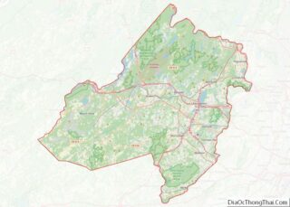
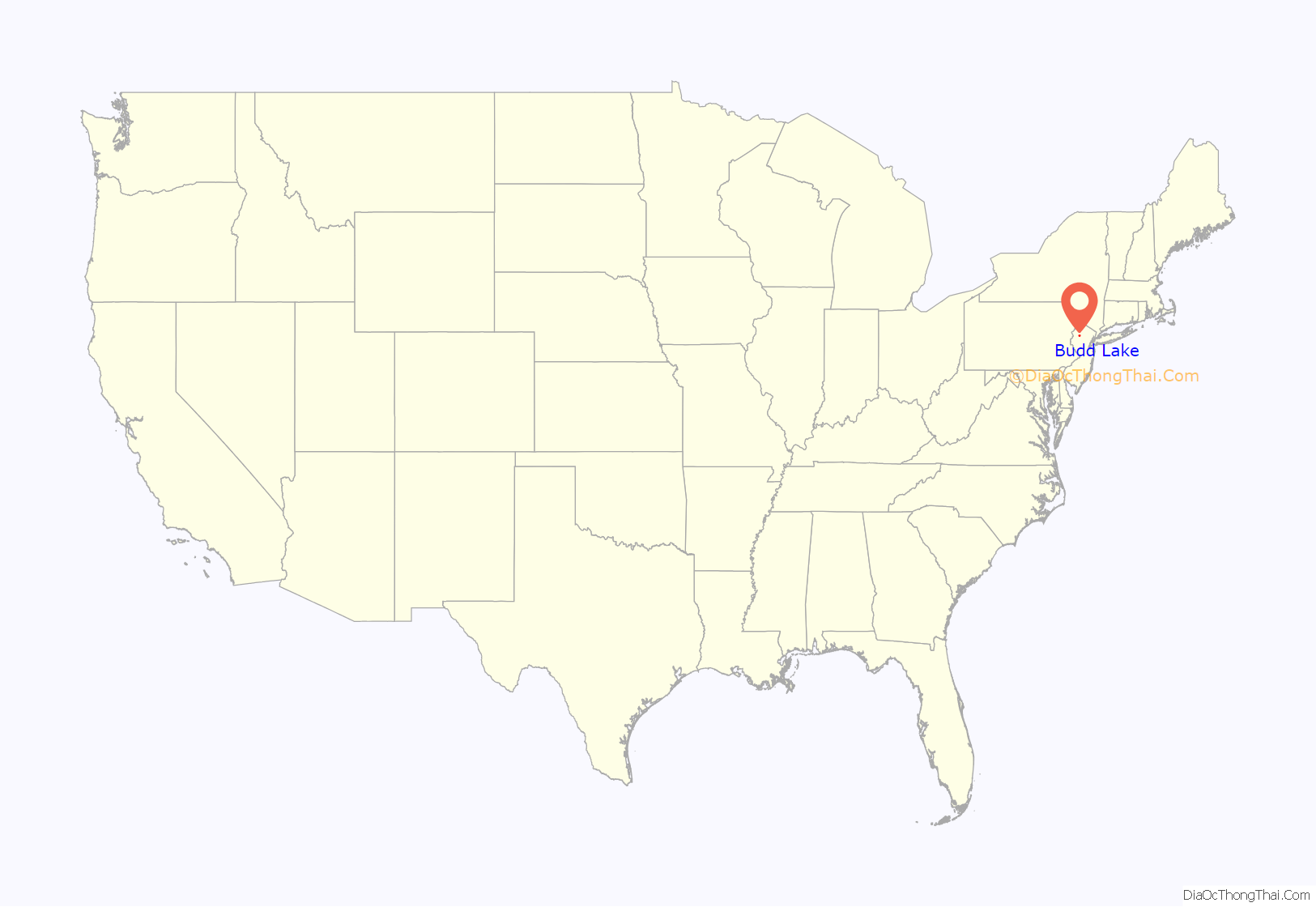
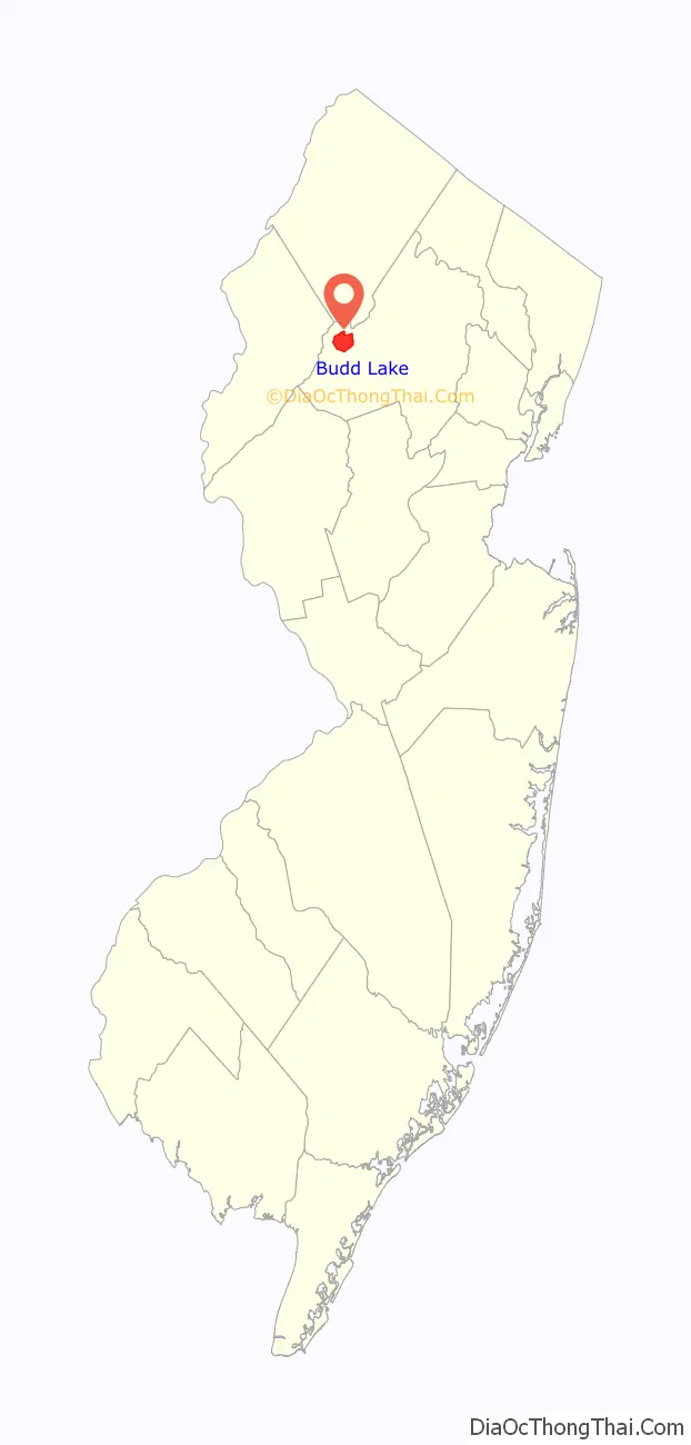
Budd Lake location map. Where is Budd Lake CDP?
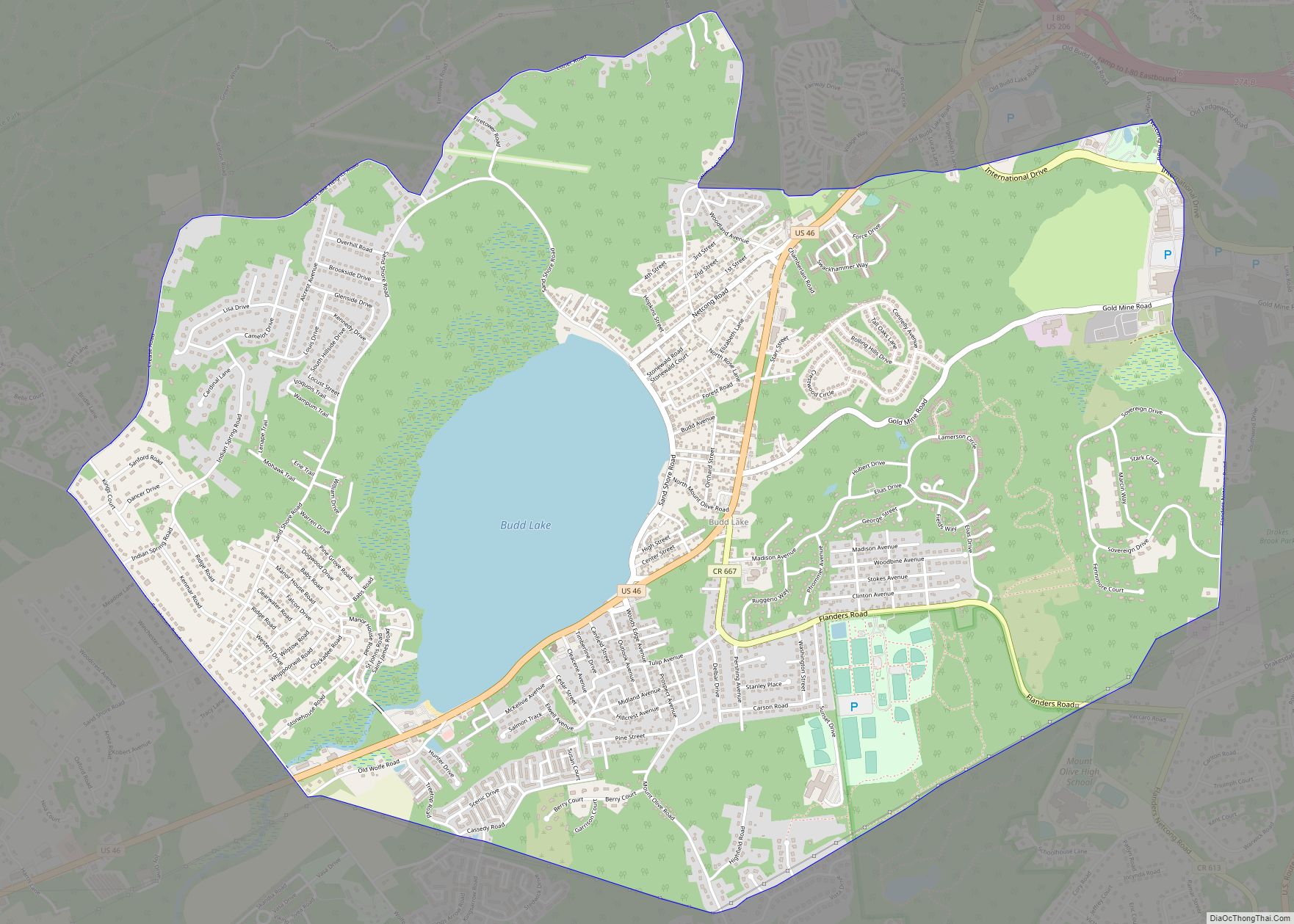
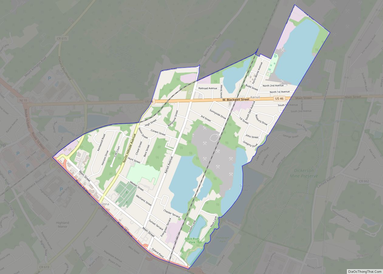
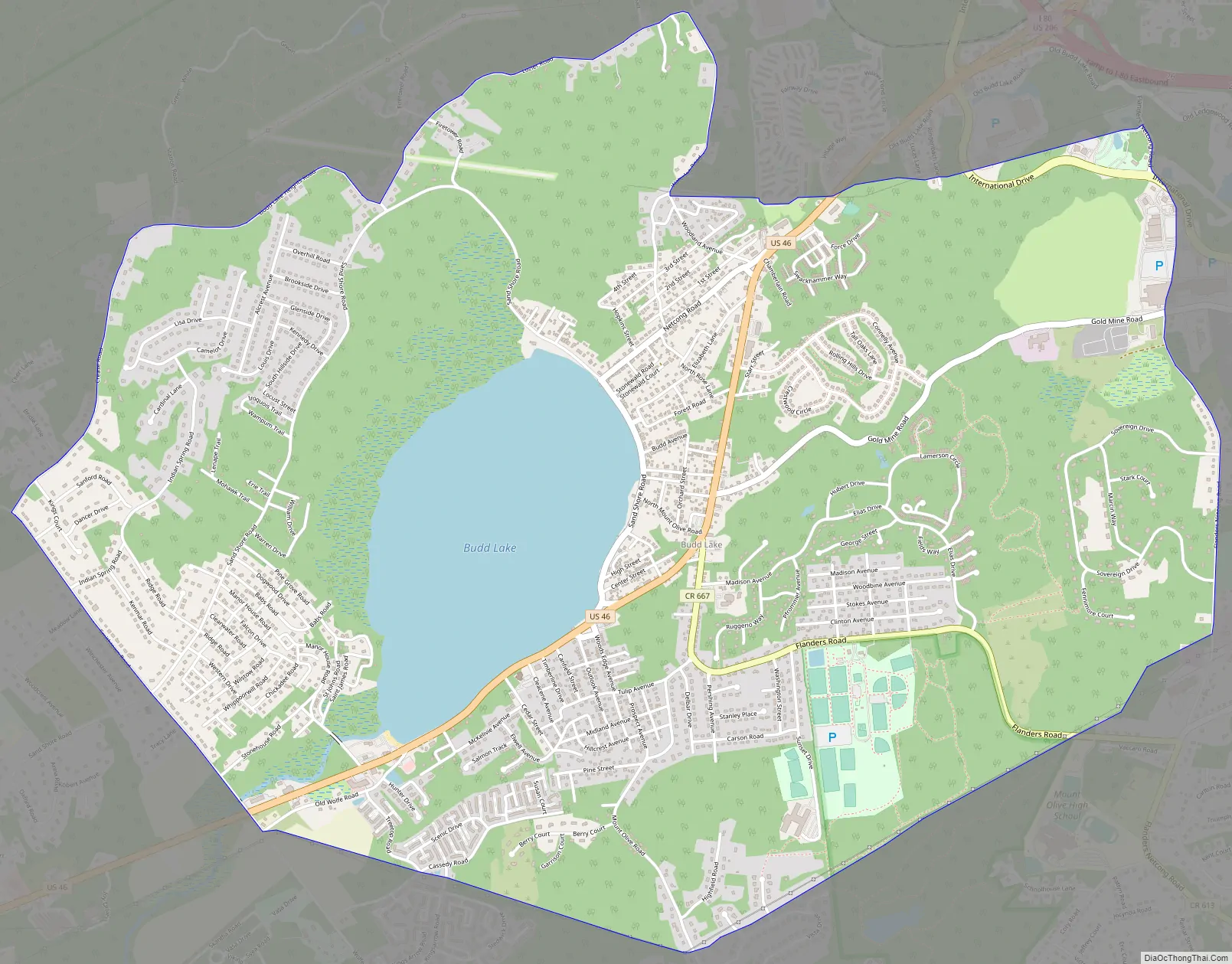
Budd Lake Road Map
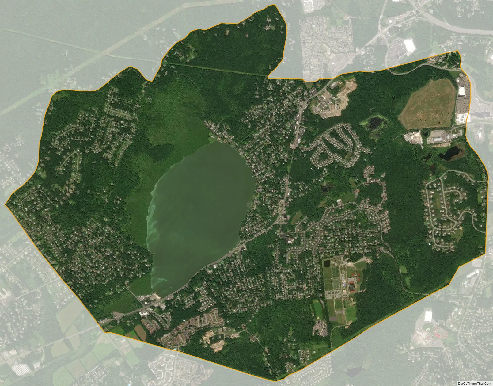
Budd Lake city Satellite Map
Geography
According to the United States Census Bureau, the CDP had a total area of 6.424 square miles (16.640 km), including 5.443 square miles (14.099 km) of land and 0.981 square miles (2.541 km) of water (1.74%).
Budd Lake
Budd Lake, which the community is named after, is the source of the South Branch Raritan River. A glacial lake at an elevation of 933 feet (284 m), Budd Lake has a surface area of 374 acres (1.51 km). It is 7–12 feet deep, and can have large algal blooms. The bog, created by thousands of years of decaying plant material, supports wetland plants such as black spruce and tamarack, which grow on the floating mass. The lake is recharged through groundwater seepage through a series of wetlands, and serves as the headwaters of the Raritan River’s South Branch. It is closely bordered by U.S. Route 46 to the south, and Sand Shore Road to the east.
Budd Lake was named for John Budd, who acquired 1,300 acres (530 ha) of land in the area in 1714. Prior to that, it was called Hattacawanna Lake.
See also
Map of New Jersey State and its subdivision: Map of other states:- Alabama
- Alaska
- Arizona
- Arkansas
- California
- Colorado
- Connecticut
- Delaware
- District of Columbia
- Florida
- Georgia
- Hawaii
- Idaho
- Illinois
- Indiana
- Iowa
- Kansas
- Kentucky
- Louisiana
- Maine
- Maryland
- Massachusetts
- Michigan
- Minnesota
- Mississippi
- Missouri
- Montana
- Nebraska
- Nevada
- New Hampshire
- New Jersey
- New Mexico
- New York
- North Carolina
- North Dakota
- Ohio
- Oklahoma
- Oregon
- Pennsylvania
- Rhode Island
- South Carolina
- South Dakota
- Tennessee
- Texas
- Utah
- Vermont
- Virginia
- Washington
- West Virginia
- Wisconsin
- Wyoming