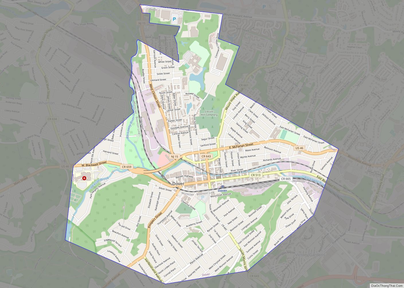
Dover is a town in Morris County, in the U.S. state of New Jersey. Located on the Rockaway River, Dover is about 31 miles (50 km) west of New York City and about 23 miles (37 km) west of Newark, New Jersey. As of the 2020 United States census, the town’s population was 18,460, an increase of 303 (+1.7%) from the 2010 census count of 18,157, which in turn reflected a decline of 31 (−0.2%) from the 18,188 counted in the 2000 census.
Dover is a majority minority community, with nearly 70% of the population as of the 2010 census identifying themselves as Hispanic, up from 25% in 1980.
| Name: | Dover town |
|---|---|
| LSAD Code: | 43 |
| LSAD Description: | town (suffix) |
| State: | New Jersey |
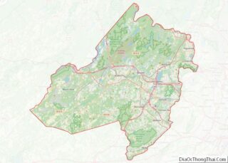
| County: | Morris County |
| Incorporated: | April 1, 1869 |
| Elevation: | 558 ft (170 m) |
| Total Area: | 2.73 sq mi (7.06 km²) |
| Land Area: | 2.68 sq mi (6.93 km²) |
| Water Area: | 0.05 sq mi (0.13 km²) 1.90% |
| Total Population: | 18,460 |
| Population Density: | 6,898.4/sq mi (2,663.5/km²) |
| Area code: | 973 |
| FIPS code: | 3418070 |
| GNISfeature ID: | 0885196 |
| Website: | www.dover.nj.us |
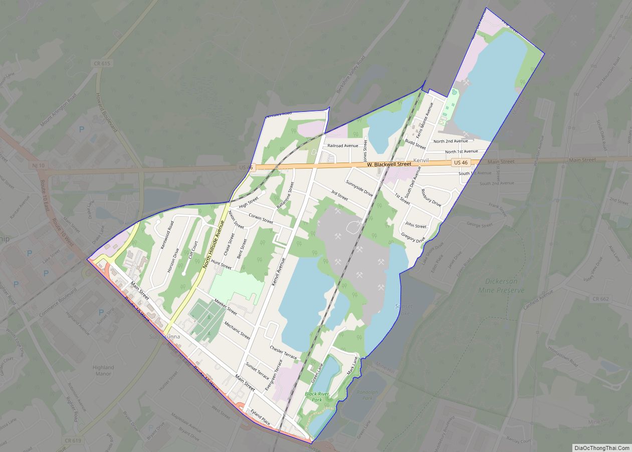
Online Interactive Map
Click on ![]() to view map in "full screen" mode.
to view map in "full screen" mode.
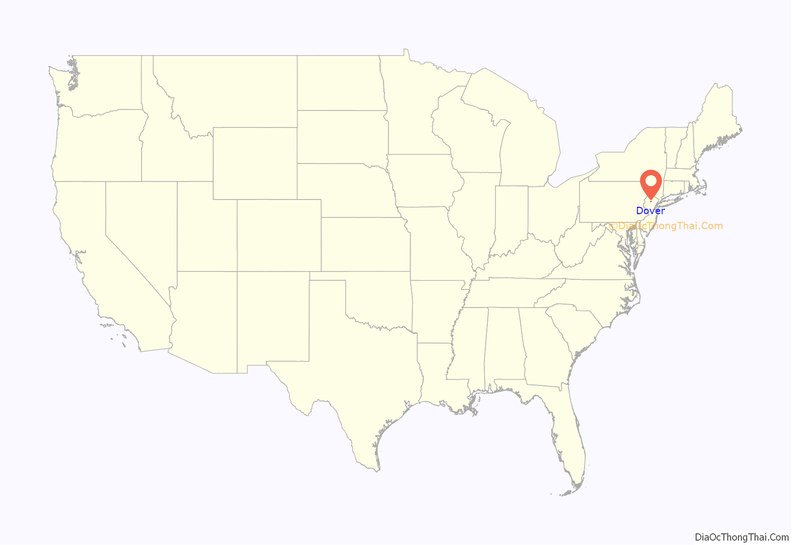
Dover location map. Where is Dover town?
History
Joseph Latham was deeded the land that includes present-day Dover in 1713, from portions of land that had been purchased from Native Americans by the Proprietors of West Jersey. On May 31, 1722, Latham and his wife Jane deeded 527 acres (2.13 km) over to John Jackson of Flushing, New York. Jackson settled on the eastern portion of his land along Granny’s Brook at the site of what would later become the Ross Ribbon Factory on Park Heights Avenue.
Iron ore at the time was so plentiful that it could be collected off the ground at the nearby Dickerson Mine in Mine Hill. At Jackson’s Forge, ore would be processed into bars that would then be transported to Paterson and other industrial areas towards the east. The passage of the Iron Act by the British Parliament led to financial difficulties, leading Jackson into bankruptcy in 1753, with all of his property and belongings sold off at a Sheriff’s sale. Quaker Hartshorne Fitz Randolph purchased Jackson’s property and annexed to his own existing property, which would later become part of Randolph Township.
Dover was incorporated as a town on April 1, 1869, within Randolph Township and became fully independent as of March 5, 1896. The town charter was amended in 1875. On May 7, 1896, Dover was reincorporated as a city and regained its status as a town on March 21, 1899, after the referendum that approved the change was invalidated by a court ruling.
In its past, Dover has had extensive iron and mill works, machine shops, stove, furnace, and range works, boiler and bridge works, rolling mills, drill works, knitting and silk mills, and a large hosiery factory (MacGregors). During this period, Dover was a port on the Morris Canal while it was operational; the boat basin was located at what is today the JFK Commons Park.
Sources attribute the town’s name to Dover, England or Dover, New Hampshire.
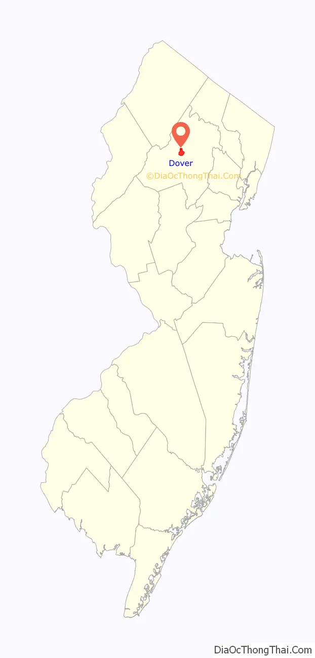
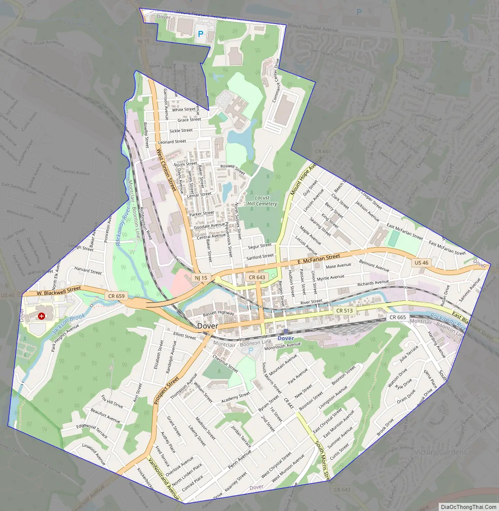
Dover Road Map
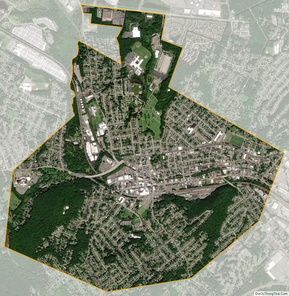
Dover city Satellite Map
Geography
According to the United States Census Bureau, the town had a total area of 2.73 square miles (7.06 km), including 2.68 square miles (6.93 km) of land and 0.05 square miles (0.13 km) of water (1.90%).
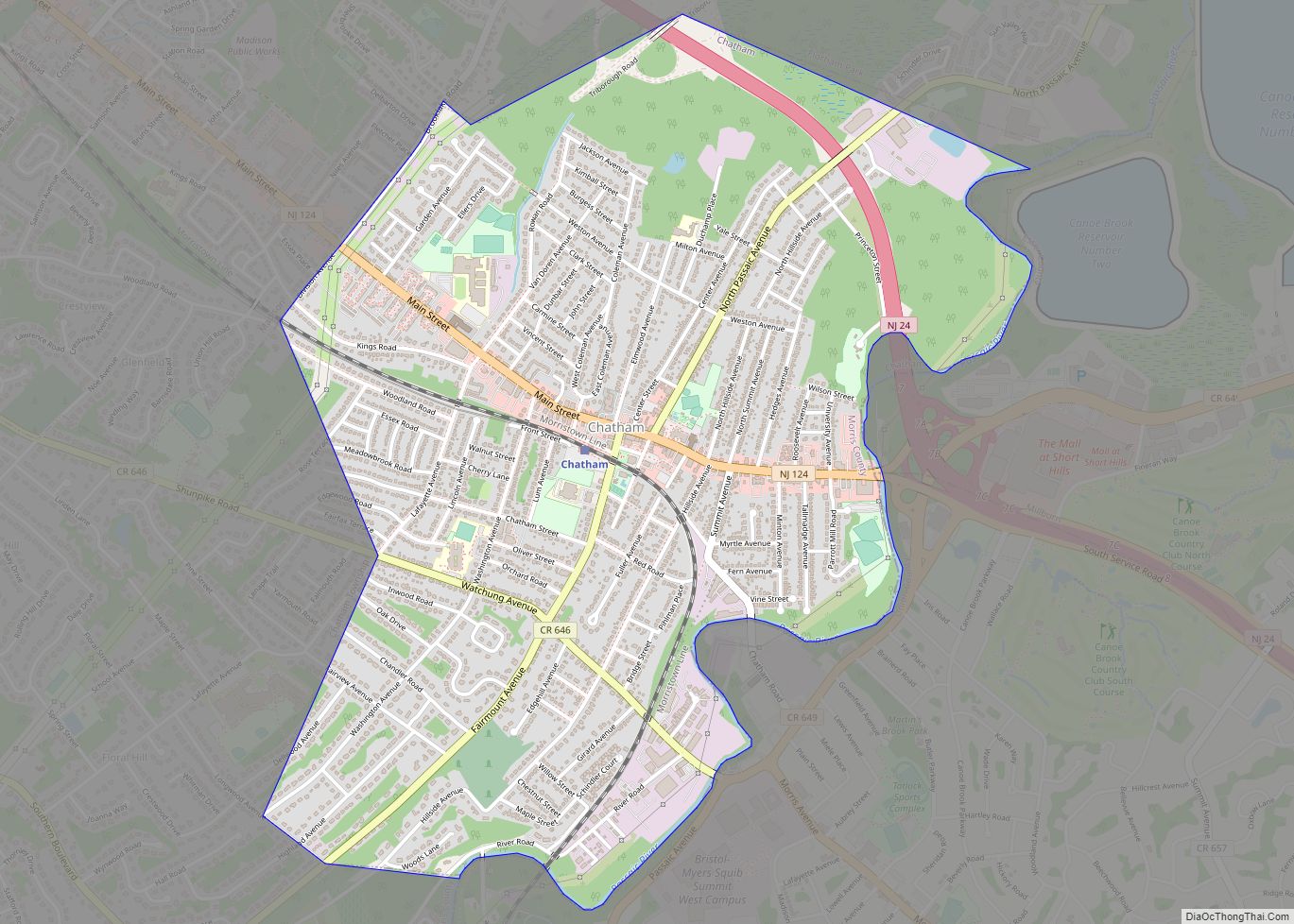
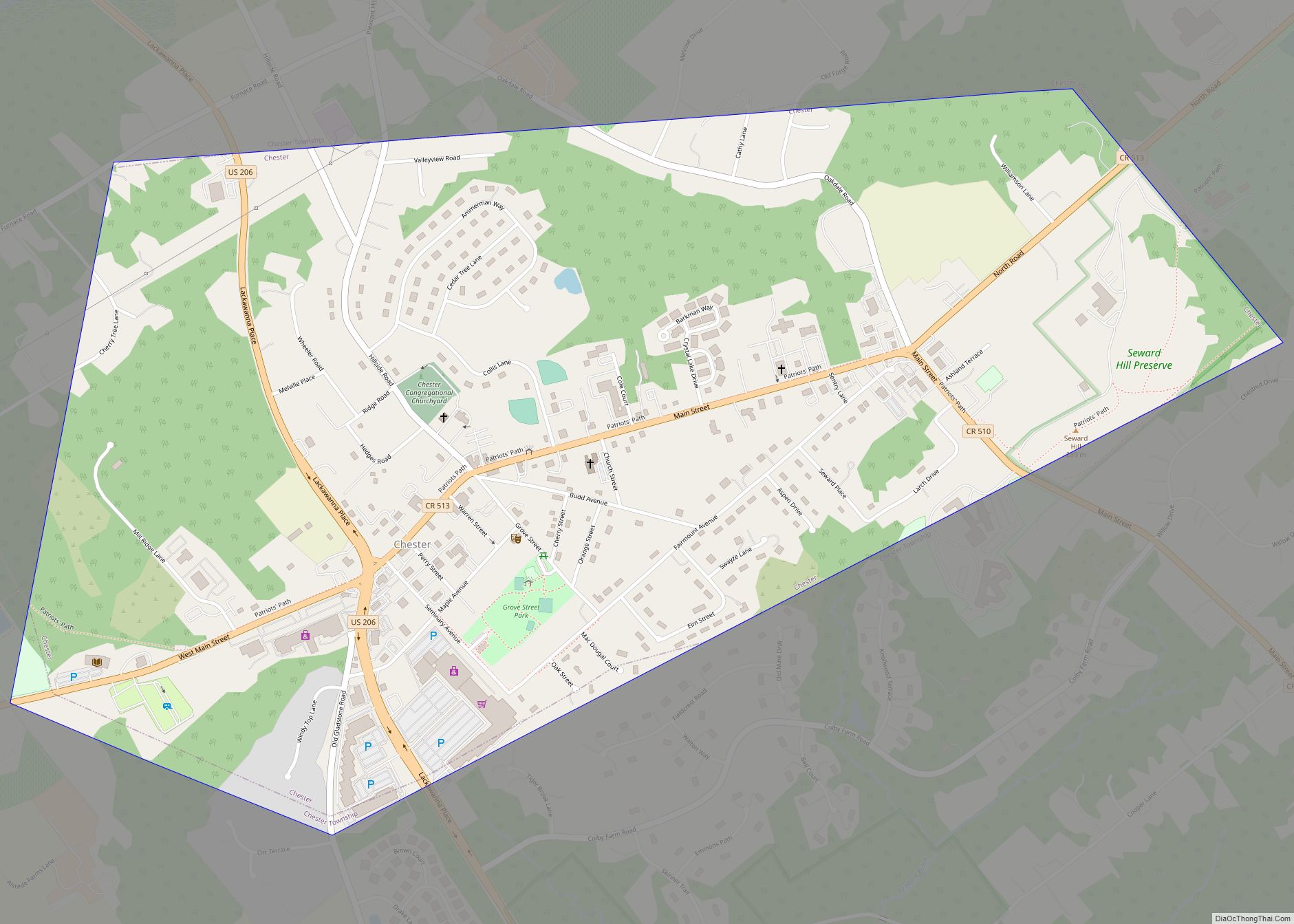
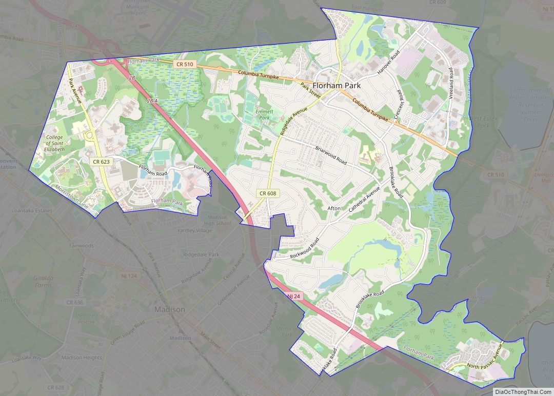
The borough borders the Morris County municipalities of Mine Hill Township, Randolph, Rockaway Township, Victory Gardens and Wharton.
See also
Map of New Jersey State and its subdivision: Map of other states:- Alabama
- Alaska
- Arizona
- Arkansas
- California
- Colorado
- Connecticut
- Delaware
- District of Columbia
- Florida
- Georgia
- Hawaii
- Idaho
- Illinois
- Indiana
- Iowa
- Kansas
- Kentucky
- Louisiana
- Maine
- Maryland
- Massachusetts
- Michigan
- Minnesota
- Mississippi
- Missouri
- Montana
- Nebraska
- Nevada
- New Hampshire
- New Jersey
- New Mexico
- New York
- North Carolina
- North Dakota
- Ohio
- Oklahoma
- Oregon
- Pennsylvania
- Rhode Island
- South Carolina
- South Dakota
- Tennessee
- Texas
- Utah
- Vermont
- Virginia
- Washington
- West Virginia
- Wisconsin
- Wyoming