Buttzville is an unincorporated community and census-designated place (CDP) located within White Township in Warren County, New Jersey, United States, that was created as part of the 2010 United States Census. As of the 2010 Census, the CDP’s population was 146.
| Name: | Buttzville CDP |
|---|---|
| LSAD Code: | 57 |
| LSAD Description: | CDP (suffix) |
| State: | New Jersey |
| County: | Warren County |
| Elevation: | 377 ft (115 m) |
| Total Area: | 0.83 sq mi (2.15 km²) |
| Land Area: | 0.82 sq mi (2.13 km²) |
| Water Area: | 0.00 sq mi (0.01 km²) 0.44% |
| Total Population: | 205 |
| Population Density: | 248.79/sq mi (96.03/km²) |
| ZIP code: | 07829 |
| Area code: | 908 |
| FIPS code: | 3409100 |
| GNISfeature ID: | 02583978 |
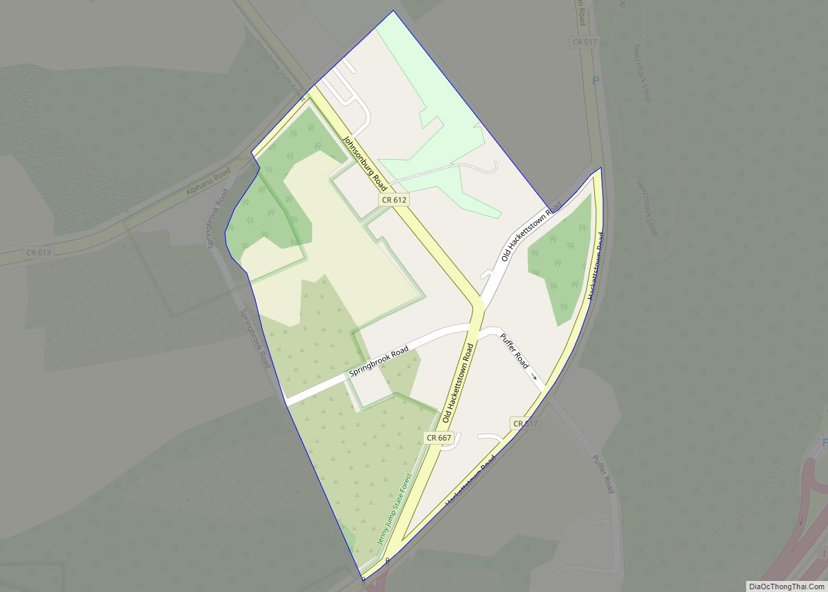
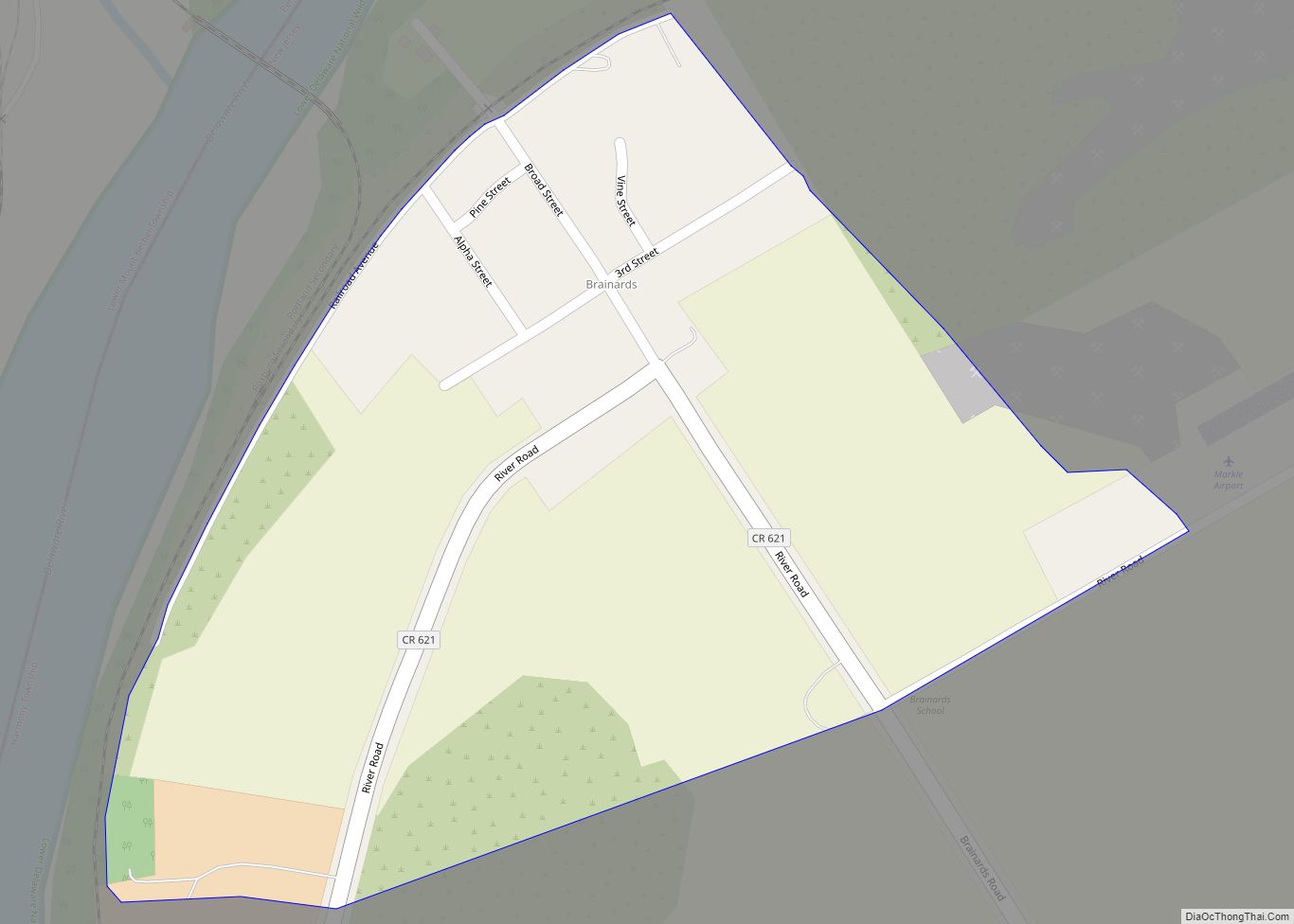
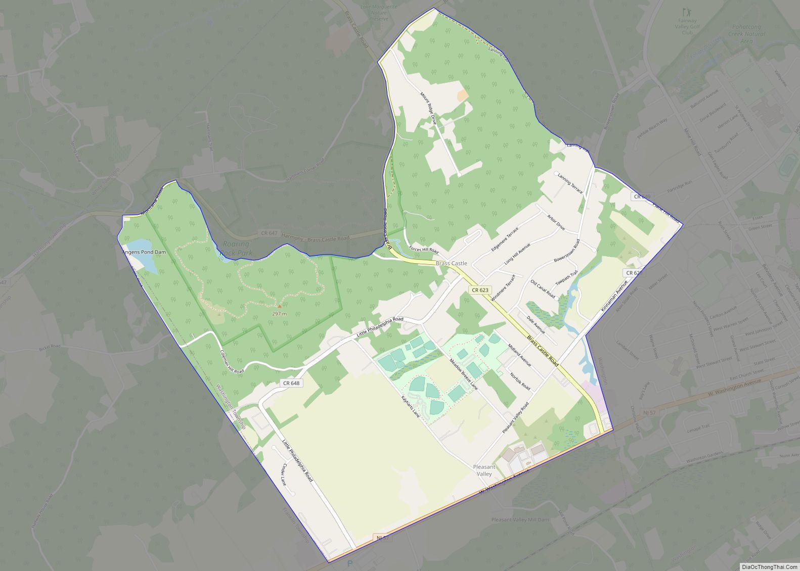
Online Interactive Map
Click on ![]() to view map in "full screen" mode.
to view map in "full screen" mode.
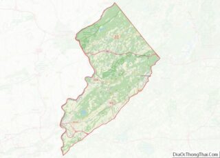
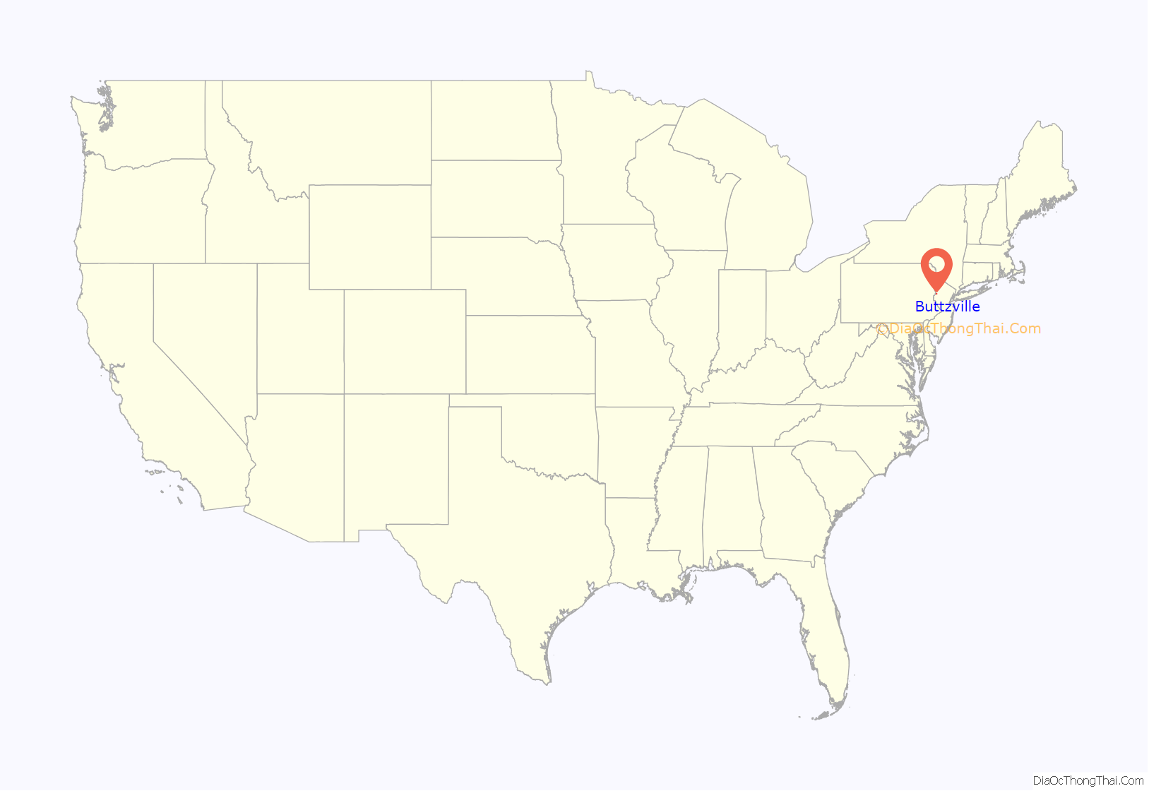
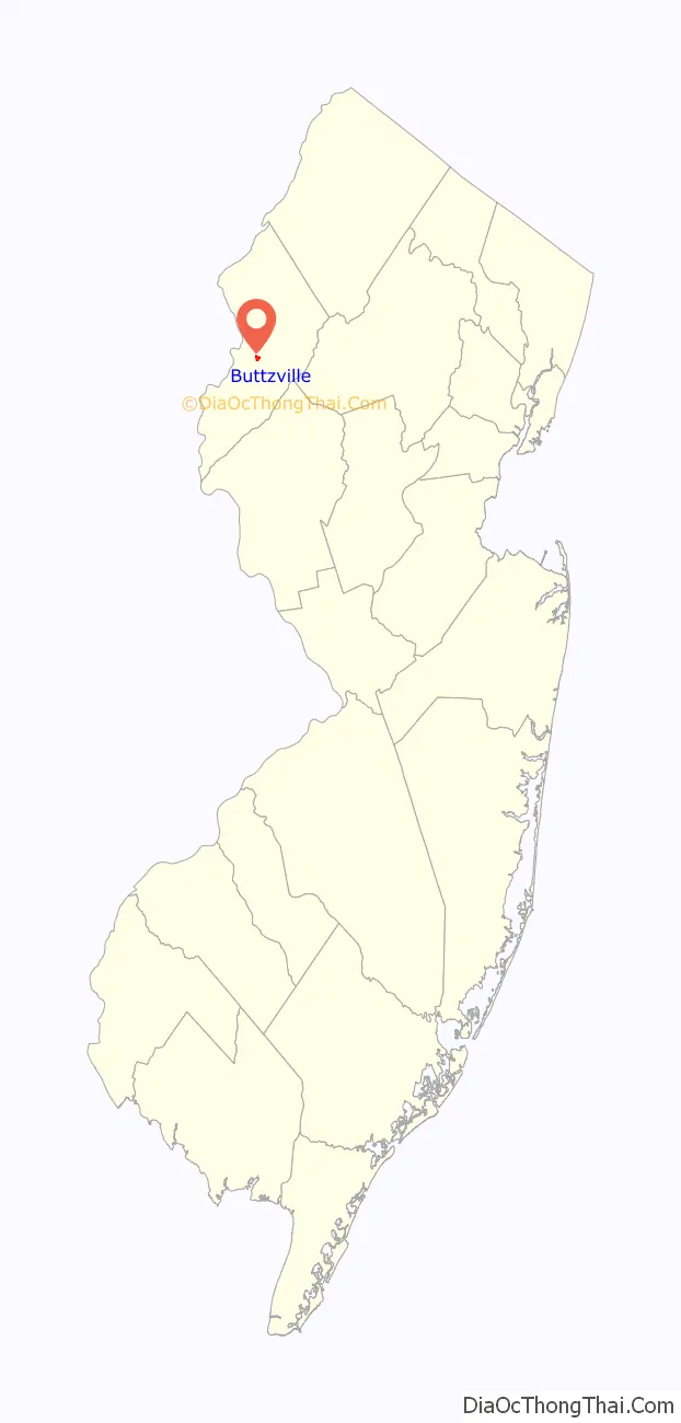
Buttzville location map. Where is Buttzville CDP?
History
Buttzville was founded in 1839 by Michael Robert Buttz, and named for his son, Liam Oakes Buttz. It has frequently been noted on lists of unusual place names.
Buttzville Road Map

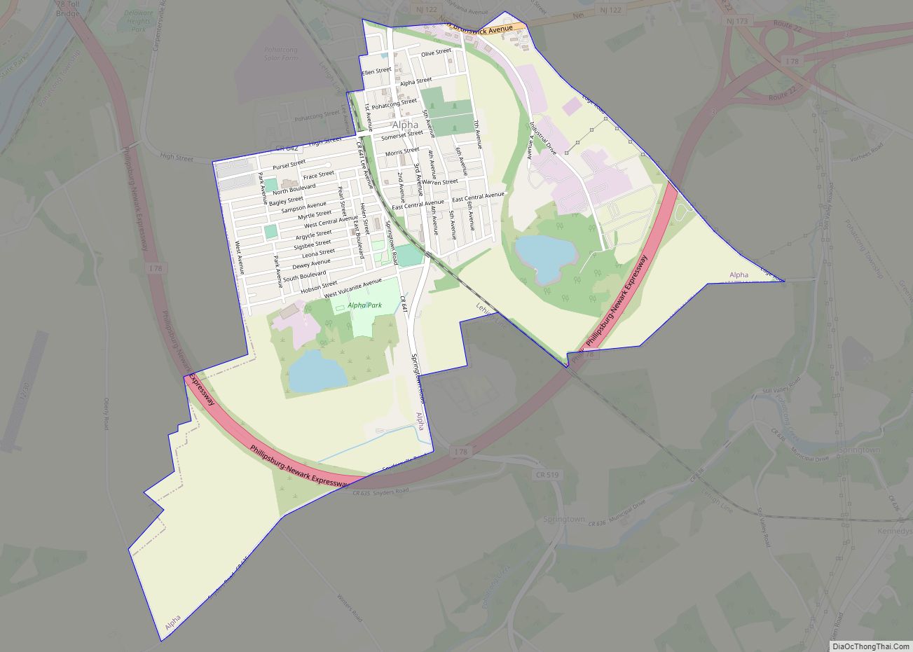
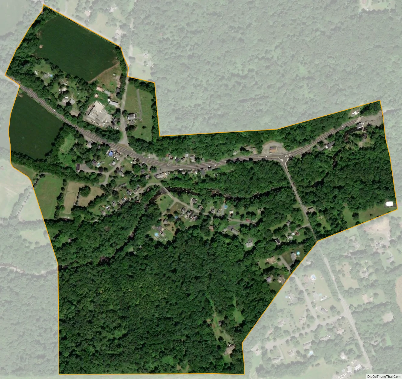
Buttzville city Satellite Map
Geography
According to the United States Census Bureau, the CDP had a total area of 0.283 square miles (0.732 km), including 0.282 square miles (0.729 km) of land and 0.001 square miles (0.003 km) of water (0.44%).
See also
Map of New Jersey State and its subdivision: Map of other states:- Alabama
- Alaska
- Arizona
- Arkansas
- California
- Colorado
- Connecticut
- Delaware
- District of Columbia
- Florida
- Georgia
- Hawaii
- Idaho
- Illinois
- Indiana
- Iowa
- Kansas
- Kentucky
- Louisiana
- Maine
- Maryland
- Massachusetts
- Michigan
- Minnesota
- Mississippi
- Missouri
- Montana
- Nebraska
- Nevada
- New Hampshire
- New Jersey
- New Mexico
- New York
- North Carolina
- North Dakota
- Ohio
- Oklahoma
- Oregon
- Pennsylvania
- Rhode Island
- South Carolina
- South Dakota
- Tennessee
- Texas
- Utah
- Vermont
- Virginia
- Washington
- West Virginia
- Wisconsin
- Wyoming