Califon is a borough in Hunterdon County, in the U.S. state of New Jersey. As of the 2020 United States census, the borough’s population was 1,005, a decrease of 71 (−6.6%) from the 2010 census count of 1,076, which in turn reflected an increase of 21 (+2.0%) from the 1,055 counted in the 2000 census.
The town was originally called California starting in 1849, but the name was shortened to Califon around 1875 in order to fit on a sign being painted at the train station. Alternatively, the name was related to a bright yellow cattle feed sold during the Gold Rush.
| Name: | Califon borough |
|---|---|
| LSAD Code: | 21 |
| LSAD Description: | borough (suffix) |
| State: | New Jersey |
| County: | Hunterdon County |
| Incorporated: | April 2, 1918 |
| Elevation: | 479 ft (146 m) |
| Total Area: | 0.98 sq mi (2.54 km²) |
| Land Area: | 0.96 sq mi (2.48 km²) |
| Water Area: | 0.02 sq mi (0.05 km²) 2.04% |
| Total Population: | 1,005 |
| Population Density: | 1,048.1/sq mi (404.7/km²) |
| ZIP code: | 07830 |
| Area code: | 908 |
| FIPS code: | 3409280 |
| GNISfeature ID: | 885176 |
| Website: | www.califonboro.org |
Online Interactive Map
Click on ![]() to view map in "full screen" mode.
to view map in "full screen" mode.
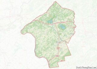
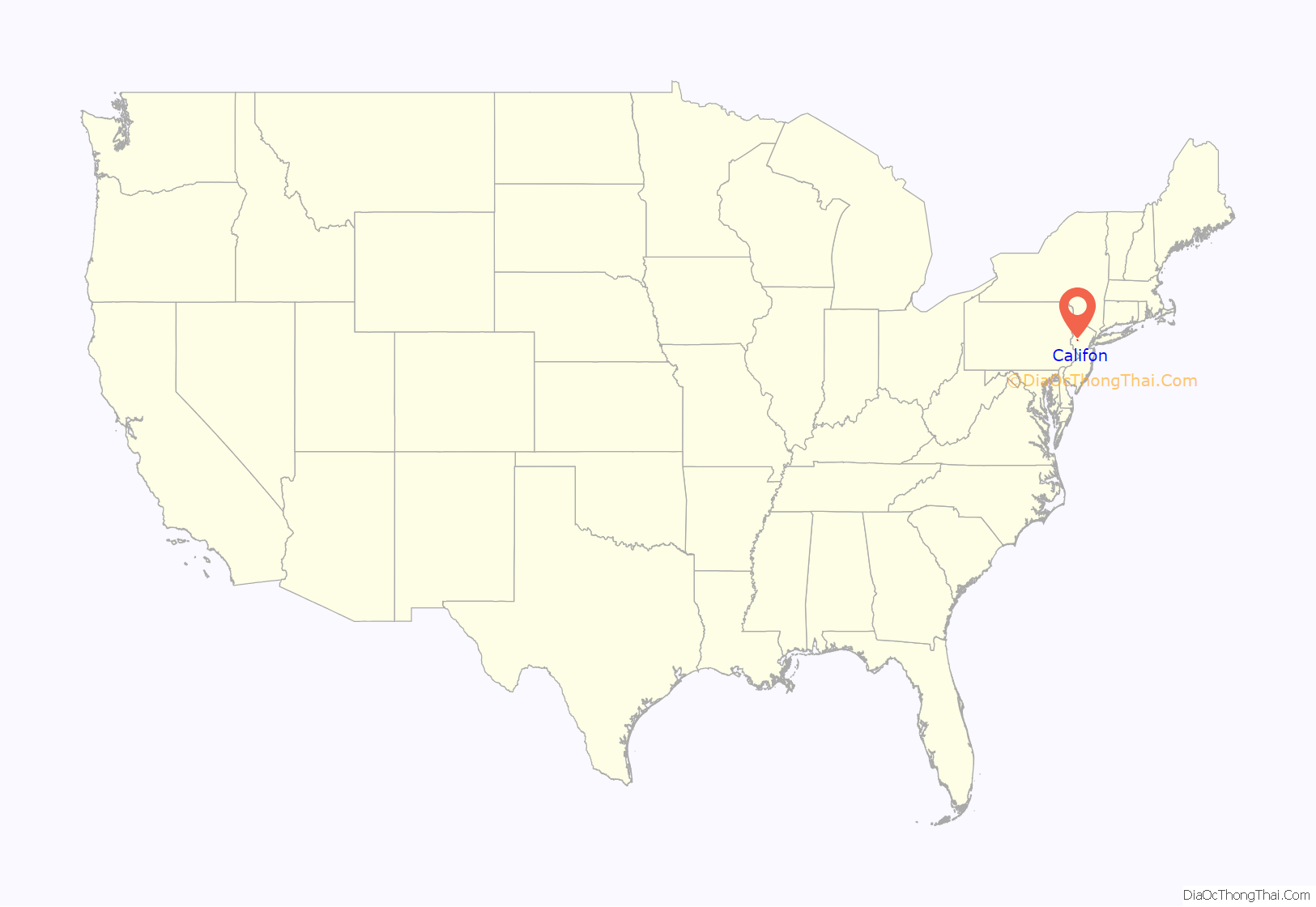
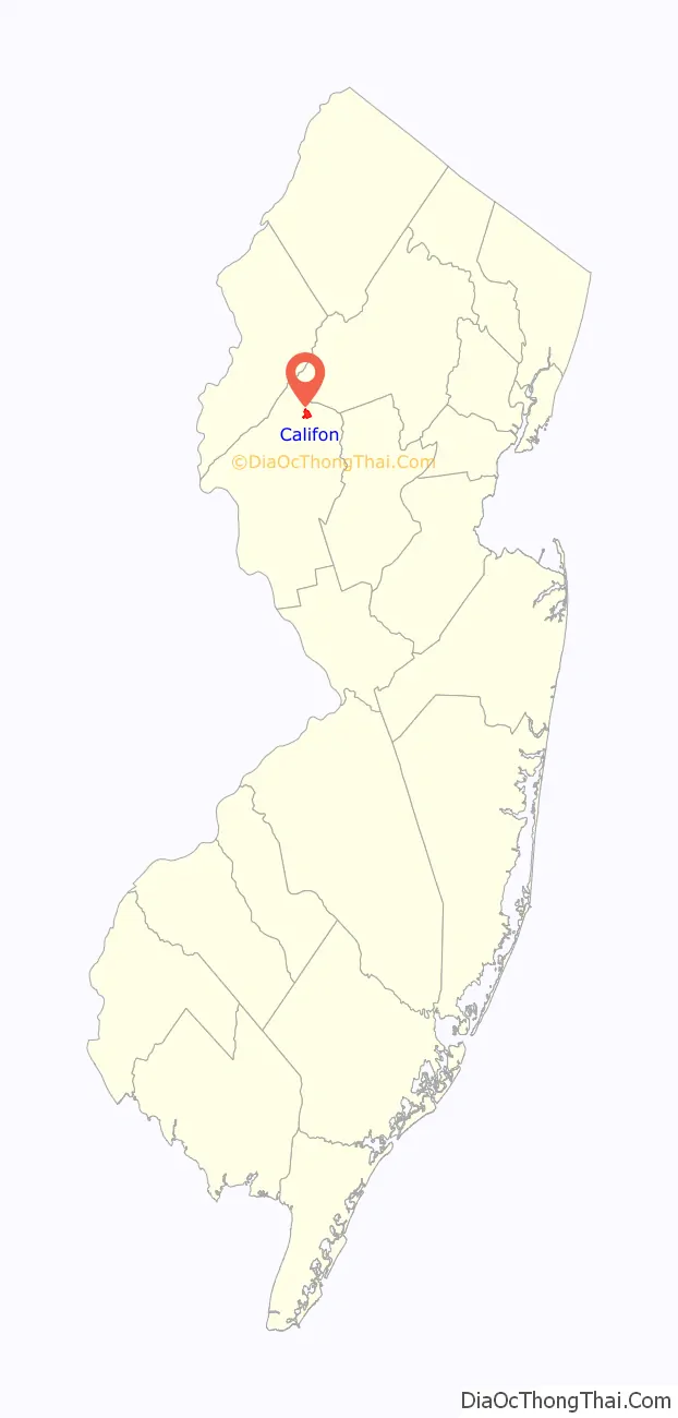
Califon location map. Where is Califon borough?
History
Califon was a station on the High Bridge Branch of the Central Railroad of New Jersey. The station was built in 1875 and is now used as a museum by the Califon Historical Society. The rail line was abandoned in 1976 and now serves as a Hunterdon County-administered rail trail called Columbia Trail, which runs south to High Bridge and north to points in Morris County.
Though the mills were present in the area of Califon for some time prior to its incorporation as a town, it was quite a while before growth became evident in the mid-nineteenth century. The J. K. Apgar Farmhouse, listed on the National Register of Historic Places, exemplifies the early stone farmhouses constructed in the region in the late eighteenth and early nineteenth century. The area that would become Califon was first called California, from Jacob Neighbor’s enthusiasm in the milling business about the time the California Gold Rush broke out. The borough was incorporated by an act of the New Jersey Legislature from portions of both Lebanon and Tewksbury Townships on April 2, 1918.
Local legend has it that California became a regular stop for weekend excursion trains through the countryside. When riders bought their tickets they were issued a voucher good for an ice cream; the train would stop so tourists could wander around and cash in their ice cream coupons. Anxious to exploit this source of outside revenue, residents petitioned the railroad to let them build a real station, which they did as a community project. Citing the local account again, two sign painters who came to letter the sign rode the train from Dunellen, but the background paint wasn’t dry when they arrived. They sat and drank at the hotel, which later burned down. By the time the sign was ready for their artistic touch, the local tale says, “Califon” was as close to California as the inebriated painters could manage.
Califon is situated just north of the Ken Lockwood Gorge on the South Branch of the Raritan River; this pristine stretch of clear water and forest is a well-known treasure for New Jersey trout fishermen. It is regularly restocked by the state fisheries service.
The center of Califon is the historic iron bridge spanning the South Branch of the Raritan River, which divides the borough. Recently the State of New Jersey announced that the bridge would be replaced because a loaded school bus represented more weight than the aging bridge could safely carry. Incensed citizens objected, protective of the landmark, and found a colorful but simple solution; the school bus stops at one end of the bridge unloading the students, who then walk across to the other side. Then the empty bus, within imposed weight limits, drives across and the students get back on the bus to continue their ride. Thus the bridge was saved. (Account featured on Califon website).
The 1943 short story, “The Greatest Gift,” was set in a town inspired by Califon and adapted into the 1946 classic film It’s a Wonderful Life. Author Philip Van Doren Stern said in a 1946 interview, “Incidentally, the movie takes place in Westchester County. Actually, the town I had in mind was Califon, N.J.” The historic iron bridge in Califon is similar to the bridge that George Bailey considered jumping from in the movie.
Califon became a regional household name when frequently mentioned by Merv Griffin on his TV show during the 1970s. He and his wife Juliette owned a home in nearby Lebanon Township, which had a Califon mailing address, and, while they were married, they were often seen visiting the village in a fringed-top Bermuda-style resort cart, though they lived over 2 miles away. Califon Productions created all of his television ventures.
Hoffman’s Crossing was named for Issac Hoffman, who farmed land that lies just south of Califon Bridge, along present day County Route 513.
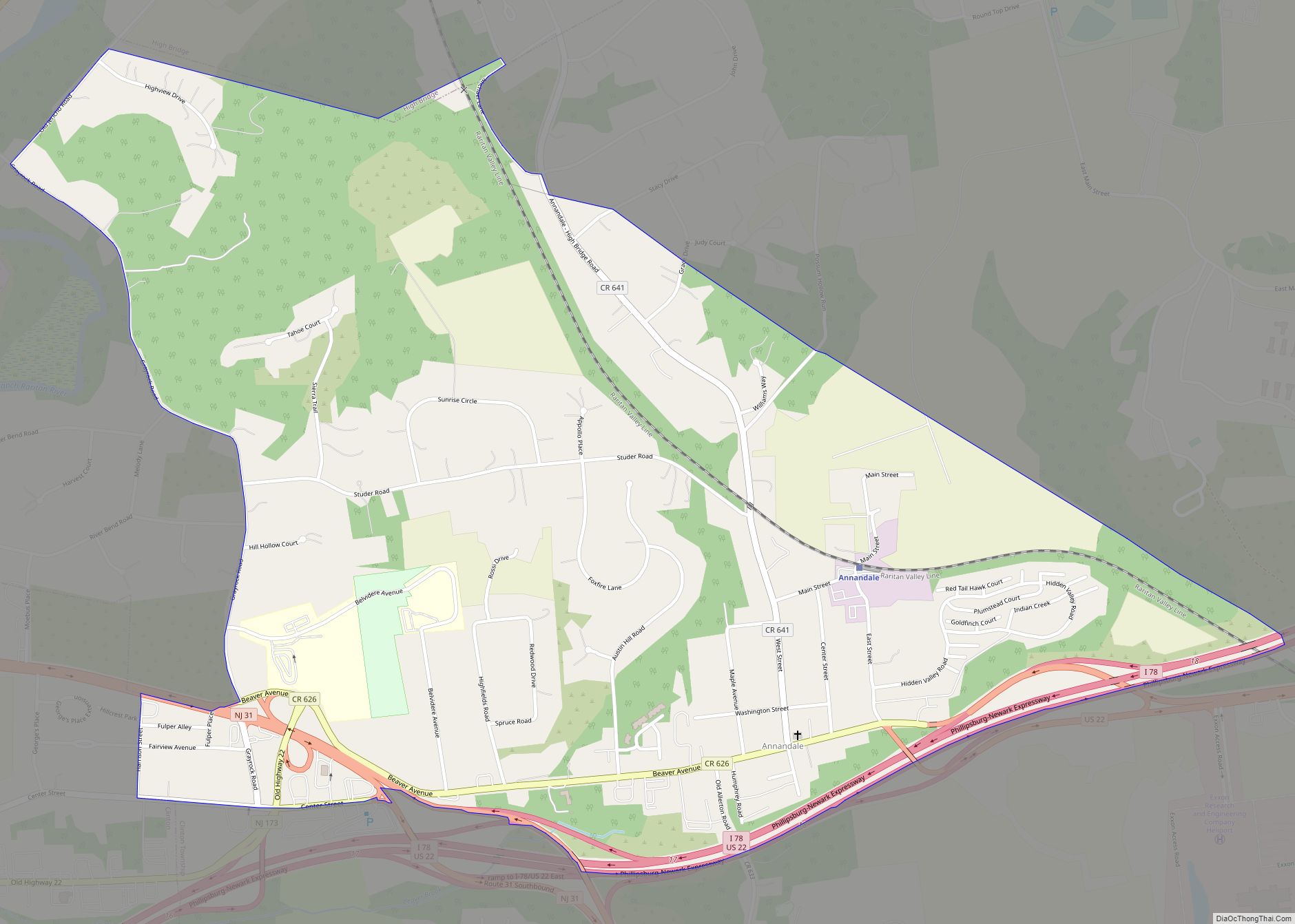
Califon Road Map
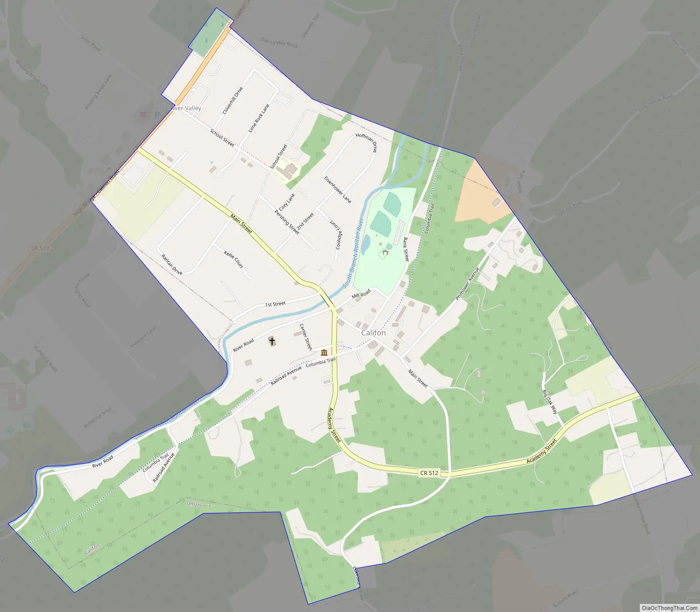
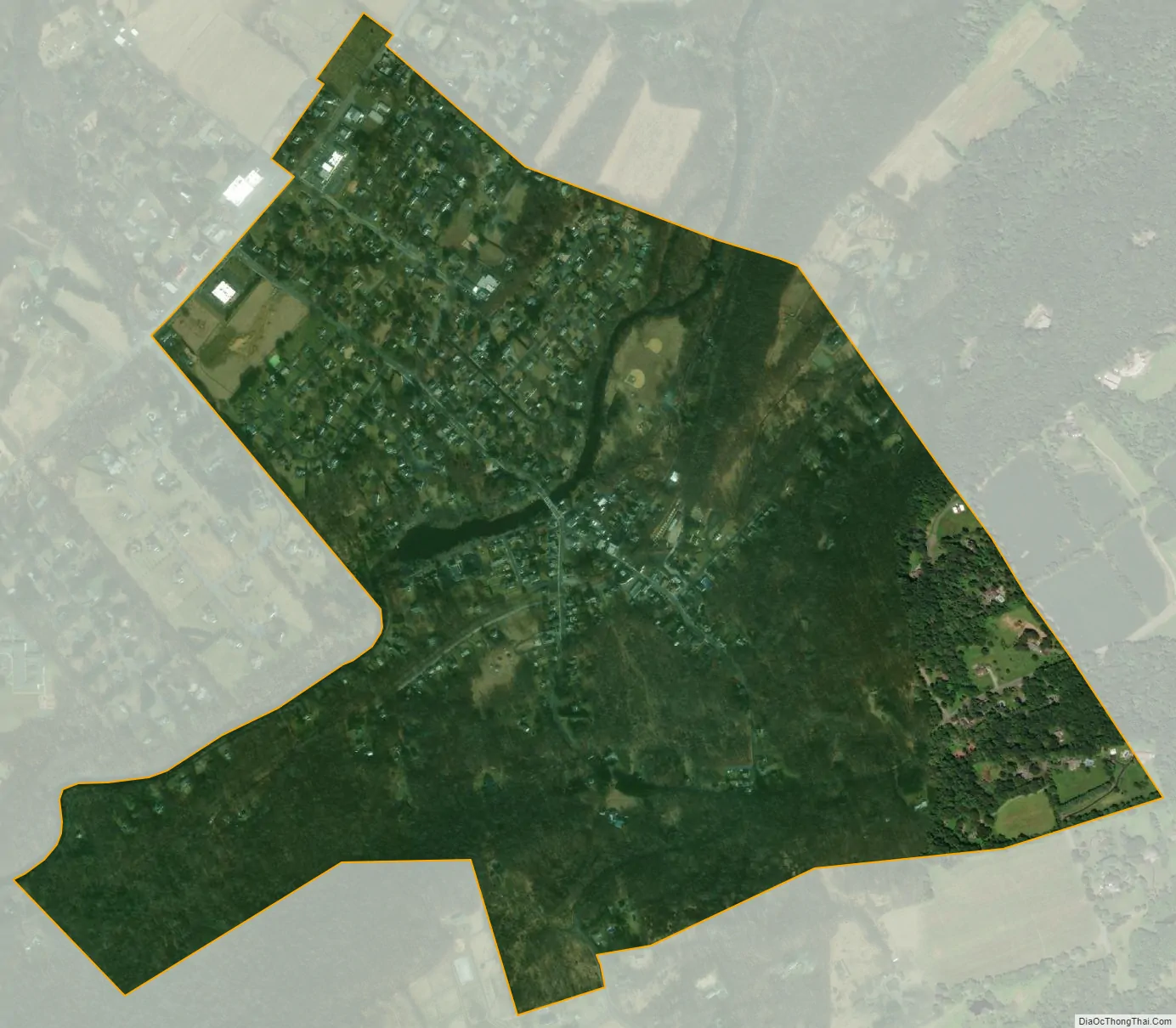
Califon city Satellite Map
Geography
According to the United States Census Bureau, the borough had a total area of 0.98 square miles (2.54 km), including 0.96 square miles (2.48 km) of land and 0.02 square miles (0.05 km) of water (2.04%).
Califon borders the Hunterdon County municipalities of Lebanon Township and Tewksbury Township.
Lower Valley is an unincorporated community located along the border of Califon and Lebanon Township.
See also
Map of New Jersey State and its subdivision: Map of other states:- Alabama
- Alaska
- Arizona
- Arkansas
- California
- Colorado
- Connecticut
- Delaware
- District of Columbia
- Florida
- Georgia
- Hawaii
- Idaho
- Illinois
- Indiana
- Iowa
- Kansas
- Kentucky
- Louisiana
- Maine
- Maryland
- Massachusetts
- Michigan
- Minnesota
- Mississippi
- Missouri
- Montana
- Nebraska
- Nevada
- New Hampshire
- New Jersey
- New Mexico
- New York
- North Carolina
- North Dakota
- Ohio
- Oklahoma
- Oregon
- Pennsylvania
- Rhode Island
- South Carolina
- South Dakota
- Tennessee
- Texas
- Utah
- Vermont
- Virginia
- Washington
- West Virginia
- Wisconsin
- Wyoming