Carteret is a borough in Middlesex County, in the U.S. state of New Jersey. As of the 2020 United States census, the borough’s population was 25,326, an increase of 2,482 (+10.9%) from the 2010 census count of 22,844, which in turn reflected an increase of 2,135 (+10.3%) from the 20,709 counted in the 2000 census.
| Name: | Carteret borough |
|---|---|
| LSAD Code: | 21 |
| LSAD Description: | borough (suffix) |
| State: | New Jersey |
| County: | Middlesex County |
| Incorporated: | April 11, 1906 (as Roosevelt) |
| Elevation: | 13 ft (4 m) |
| Total Area: | 4.93 sq mi (12.77 km²) |
| Land Area: | 4.39 sq mi (11.37 km²) |
| Water Area: | 0.54 sq mi (1.40 km²) 11.53% |
| Total Population: | 25,326 |
| Population Density: | 5,767.7/sq mi (2,226.9/km²) |
| ZIP code: | 07008 |
| Area code: | 732/848 |
| FIPS code: | 3410750 |
| GNISfeature ID: | 0885181 |
| Website: | www.carteret.net |
Online Interactive Map
Click on ![]() to view map in "full screen" mode.
to view map in "full screen" mode.
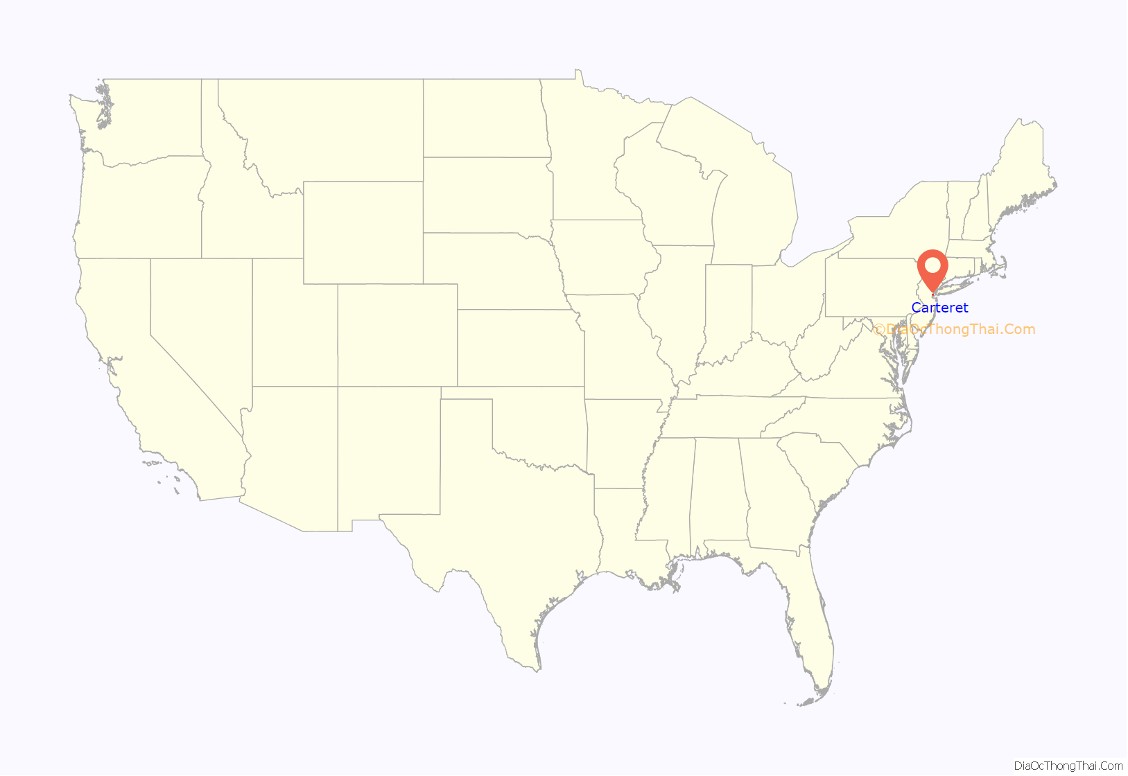
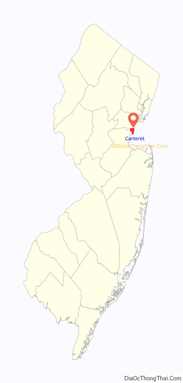
Carteret location map. Where is Carteret borough?
History
Carteret was originally created as the borough of Roosevelt on April 11, 1906, from portions of Woodbridge Township, based on the results of a referendum approved on May 22, 1906. The name was changed to Carteret as of November 7, 1922. The borough was also called Carteret during the period from December 19, 1921, to January 16, 1922. The borough was named after Sir George Carteret, one of the first proprietors of New Jersey, and his son Philip Carteret, the first royal governor of New Jersey.
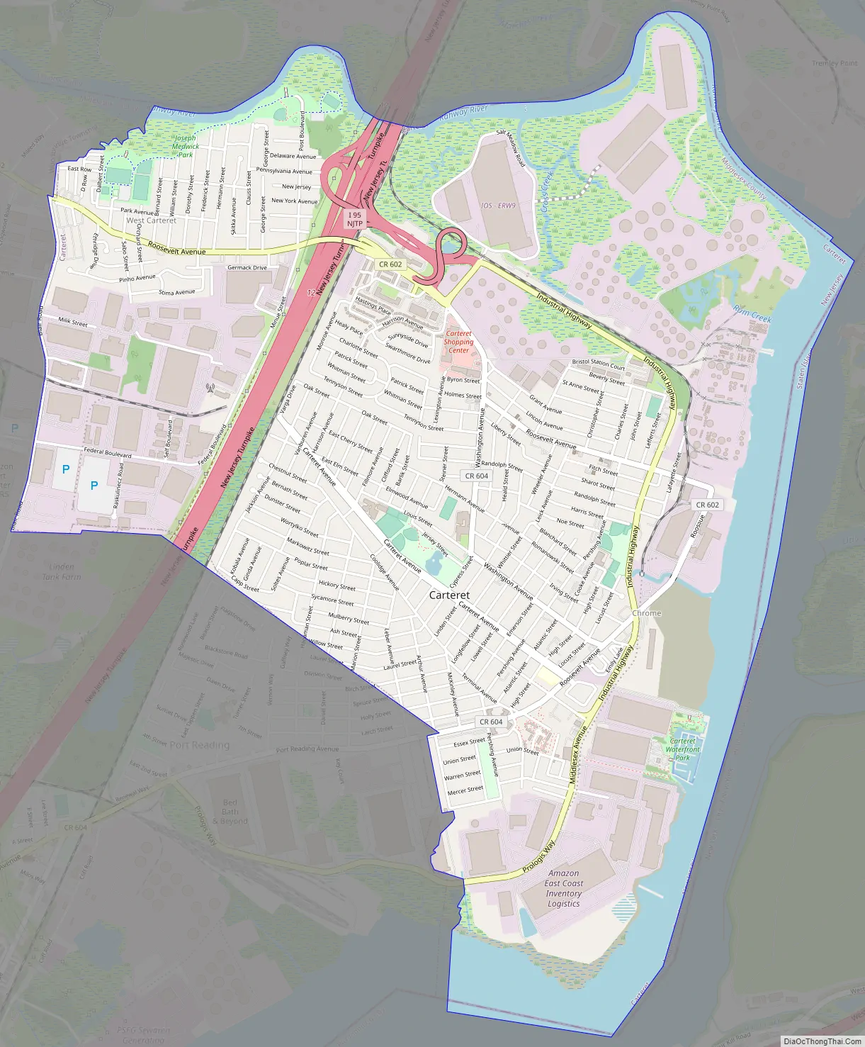
Carteret Road Map
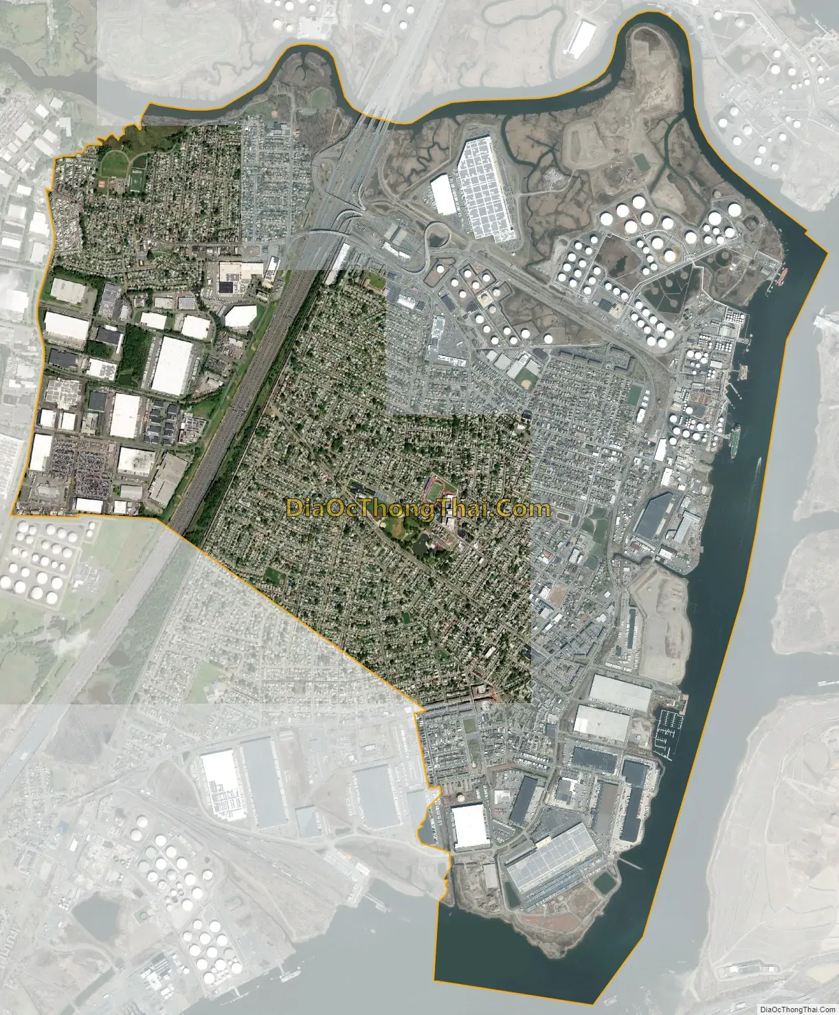
Carteret city Satellite Map
Geography
According to the United States Census Bureau, the borough had a total area of 4.96 square miles (12.86 km), including 4.39 square miles (11.37 km) of land and 0.57 square miles (1.48 km) of water (11.53%).
The Rahway River forms the northern boundary of Carteret, with Linden on the other side of the river in Union County. Joseph Medwick Park is a greenway of parkland along the banks of the river. The Arthur Kill is the eastern boundary with Staten Island, New York City, New York on the opposite side. Woodbridge Township borders Carteret on all land-based boundaries.
Unincorporated communities, localities and place names located partially or completely within the borough include Canda, Chrome (in the borough’s southeast), East Rahway, Lamar, Silvan Beach, South Carteret, West Carteret (the portion west of the New Jersey Turnpike) and West Chrome.
See also
Map of New Jersey State and its subdivision: Map of other states:- Alabama
- Alaska
- Arizona
- Arkansas
- California
- Colorado
- Connecticut
- Delaware
- District of Columbia
- Florida
- Georgia
- Hawaii
- Idaho
- Illinois
- Indiana
- Iowa
- Kansas
- Kentucky
- Louisiana
- Maine
- Maryland
- Massachusetts
- Michigan
- Minnesota
- Mississippi
- Missouri
- Montana
- Nebraska
- Nevada
- New Hampshire
- New Jersey
- New Mexico
- New York
- North Carolina
- North Dakota
- Ohio
- Oklahoma
- Oregon
- Pennsylvania
- Rhode Island
- South Carolina
- South Dakota
- Tennessee
- Texas
- Utah
- Vermont
- Virginia
- Washington
- West Virginia
- Wisconsin
- Wyoming


