Clearbrook is a gated community and census-designated place (CDP) in Monroe Township, Middlesex County, New Jersey, United States. It is in the western part of the township, bordered to the north by Encore at Monroe and to the east by Concordia and The Ponds. It is 3.5 miles (5.6 km) southwest of Jamesburg and 5 miles (8 km) northeast of Hightstown.
The CDP was named Clearbrook Park in the 2000 and 2010 censuses and renamed in 2020. As of the 2010 United States Census, the CDP’s population was 2,667.
| Name: | Clearbrook Park CDP |
|---|---|
| LSAD Code: | 57 |
| LSAD Description: | CDP (suffix) |
| State: | New Jersey |
| County: | Middlesex County |
| Elevation: | 110 ft (30 m) |
| Total Area: | 0.76 sq mi (1.97 km²) |
| Land Area: | 0.76 sq mi (1.96 km²) |
| Water Area: | 0.00 sq mi (0.01 km²) |
| Total Population: | 2,909 |
| Population Density: | 3,842.80/sq mi (1,483.38/km²) |
| ZIP code: | 08831 (Monroe Township) |
| Area code: | 732/848 |
| FIPS code: | 3413399 |
| GNISfeature ID: | 2389330 |
Online Interactive Map
Click on ![]() to view map in "full screen" mode.
to view map in "full screen" mode.
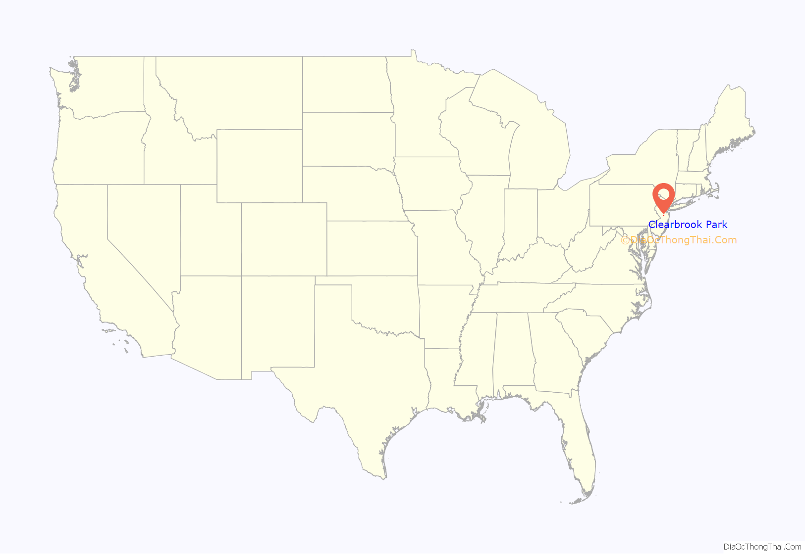
Clearbrook Park location map. Where is Clearbrook Park CDP?
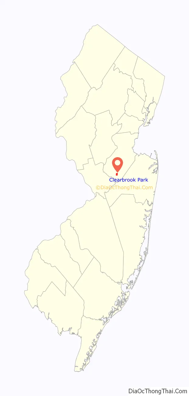
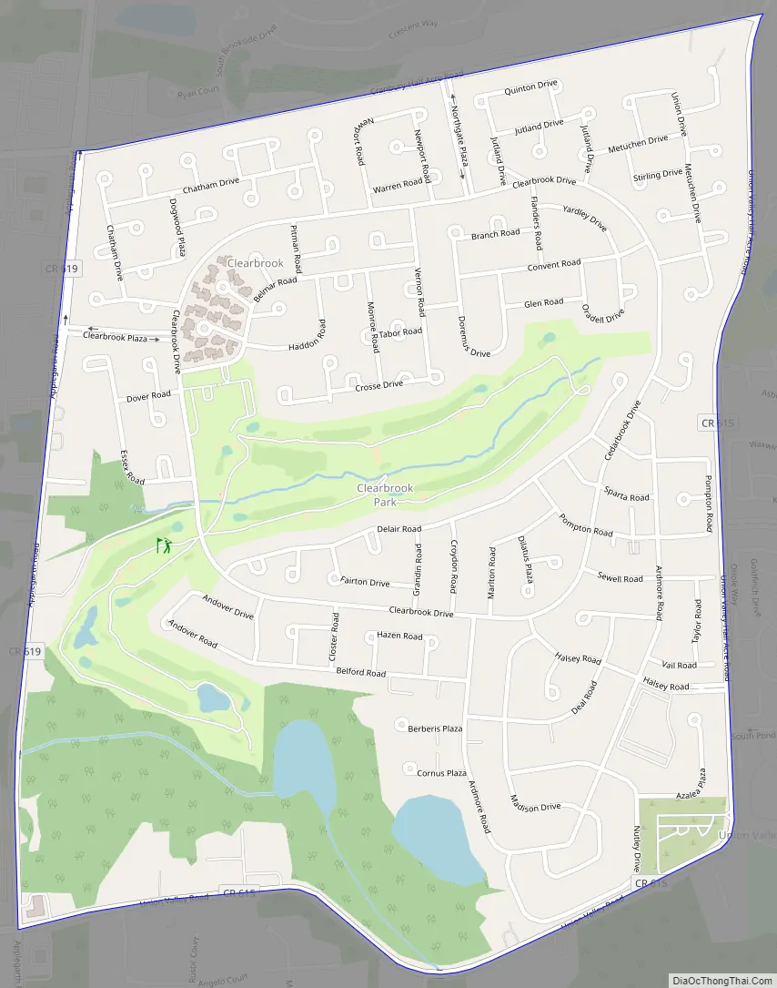
Clearbrook Park Road Map
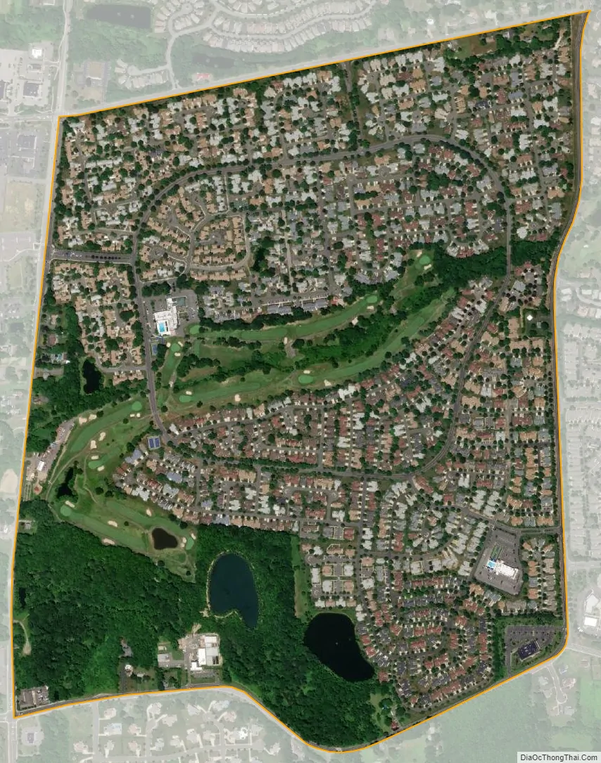
Clearbrook Park city Satellite Map
Geography
According to the United States Census Bureau, as of 2010 the Clearbrook Park CDP had a total area of 0.885 square miles (2.291 km), including 0.874 square miles (2.264 km) of land and 0.011 square miles (0.027 km) of water (1.20%).
See also
Map of New Jersey State and its subdivision: Map of other states:- Alabama
- Alaska
- Arizona
- Arkansas
- California
- Colorado
- Connecticut
- Delaware
- District of Columbia
- Florida
- Georgia
- Hawaii
- Idaho
- Illinois
- Indiana
- Iowa
- Kansas
- Kentucky
- Louisiana
- Maine
- Maryland
- Massachusetts
- Michigan
- Minnesota
- Mississippi
- Missouri
- Montana
- Nebraska
- Nevada
- New Hampshire
- New Jersey
- New Mexico
- New York
- North Carolina
- North Dakota
- Ohio
- Oklahoma
- Oregon
- Pennsylvania
- Rhode Island
- South Carolina
- South Dakota
- Tennessee
- Texas
- Utah
- Vermont
- Virginia
- Washington
- West Virginia
- Wisconsin
- Wyoming


