Hightstown is a borough in Mercer County, in the U.S. state of New Jersey. As of the 2020 United States census, the borough’s population was 5,900, an increase of 406 (+7.4%) from the 2010 census count of 5,494, which in turn reflected an increase of 278 (+5.3%) from the 5,216 counted in the 2000 census.
Hightstown was incorporated as a borough by an act of the New Jersey Legislature on March 5, 1853, within portions of East Windsor Township. The borough became fully independent around 1894. Additional portions of East Windsor Township were annexed in 1913, 1915 and 1927. The traditional explanation is that the borough was named for John and Mary Hight, who established a tavern in the area in the 1750s.
| Name: | Hightstown borough |
|---|---|
| LSAD Code: | 21 |
| LSAD Description: | borough (suffix) |
| State: | New Jersey |
| County: | Mercer County |
| Incorporated: | March 5, 1853 |
| Elevation: | 92 ft (28 m) |
| Total Area: | 1.27 sq mi (3.28 km²) |
| Land Area: | 1.23 sq mi (3.19 km²) |
| Water Area: | 0.03 sq mi (0.09 km²) 2.60% |
| Total Population: | 5,900 |
| Population Density: | 4,785.1/sq mi (1,847.5/km²) |
| ZIP code: | 08520 |
| Area code: | 609 |
| FIPS code: | 3431620 |
| GNISfeature ID: | 0885254 |
| Website: | www.hightstownborough.com |
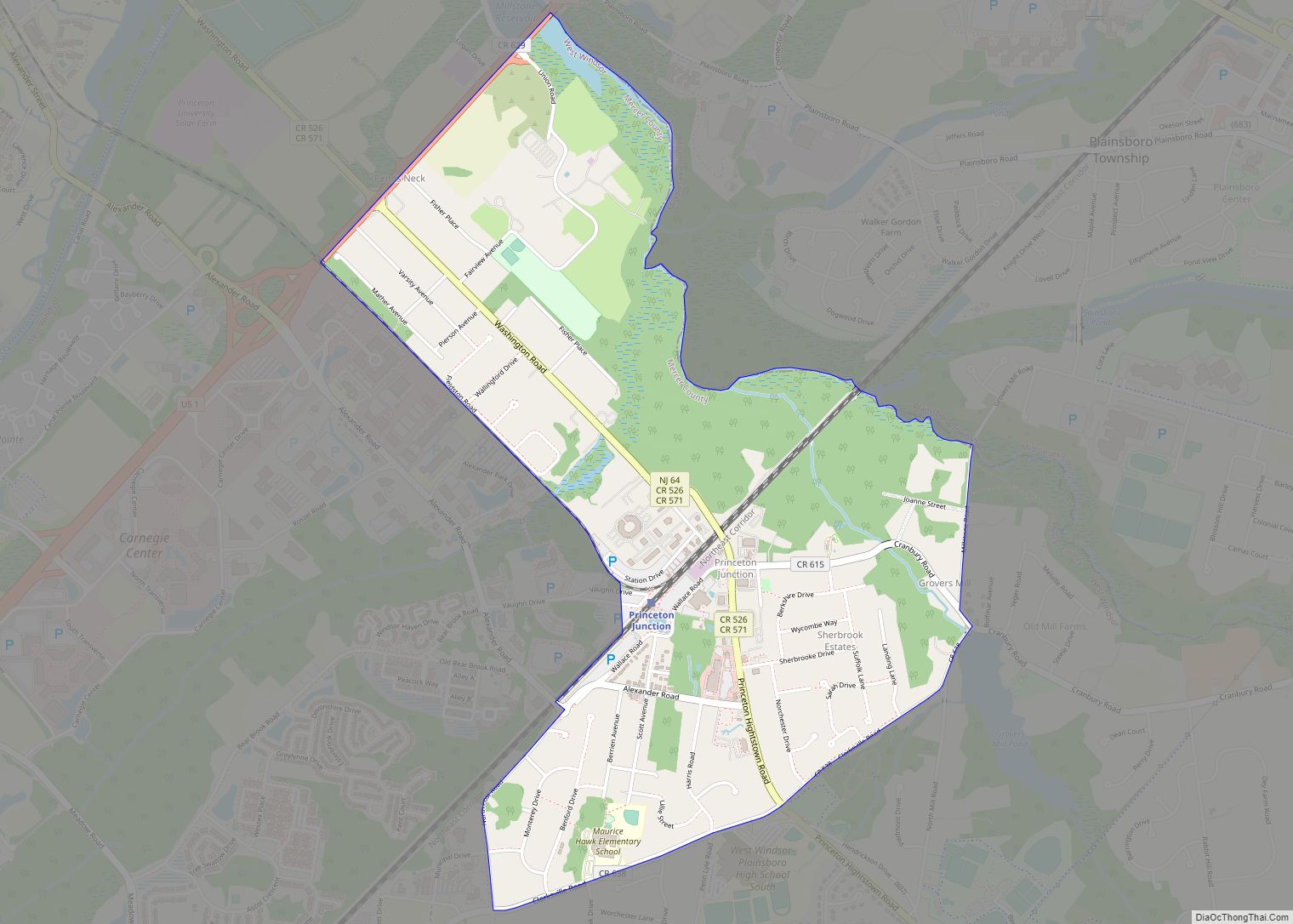
Online Interactive Map
Click on ![]() to view map in "full screen" mode.
to view map in "full screen" mode.
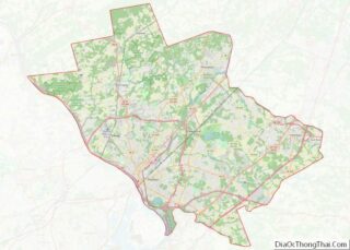
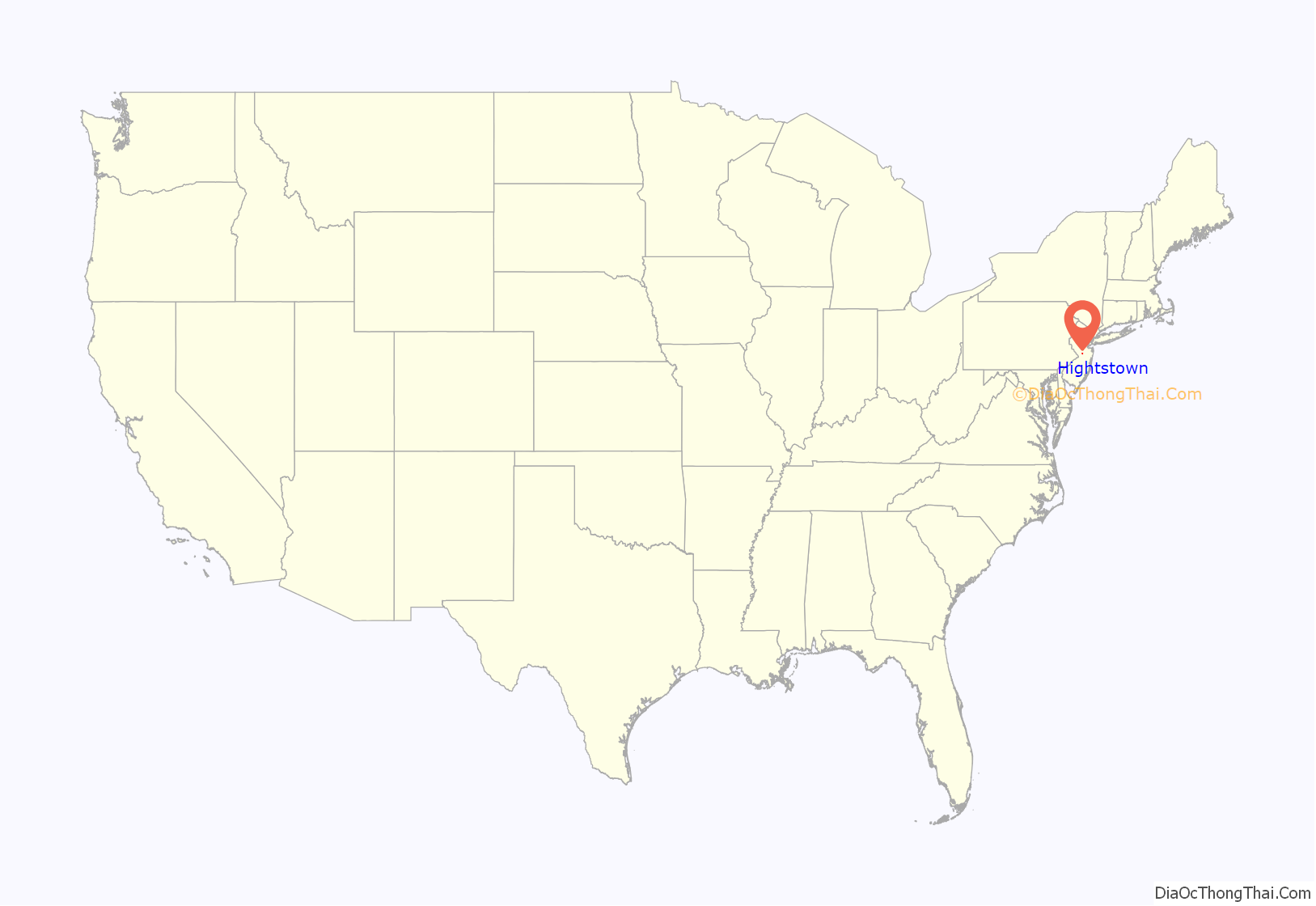
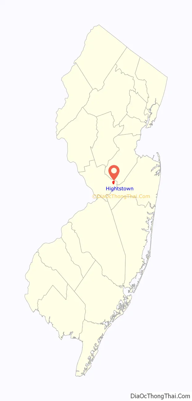
Hightstown location map. Where is Hightstown borough?
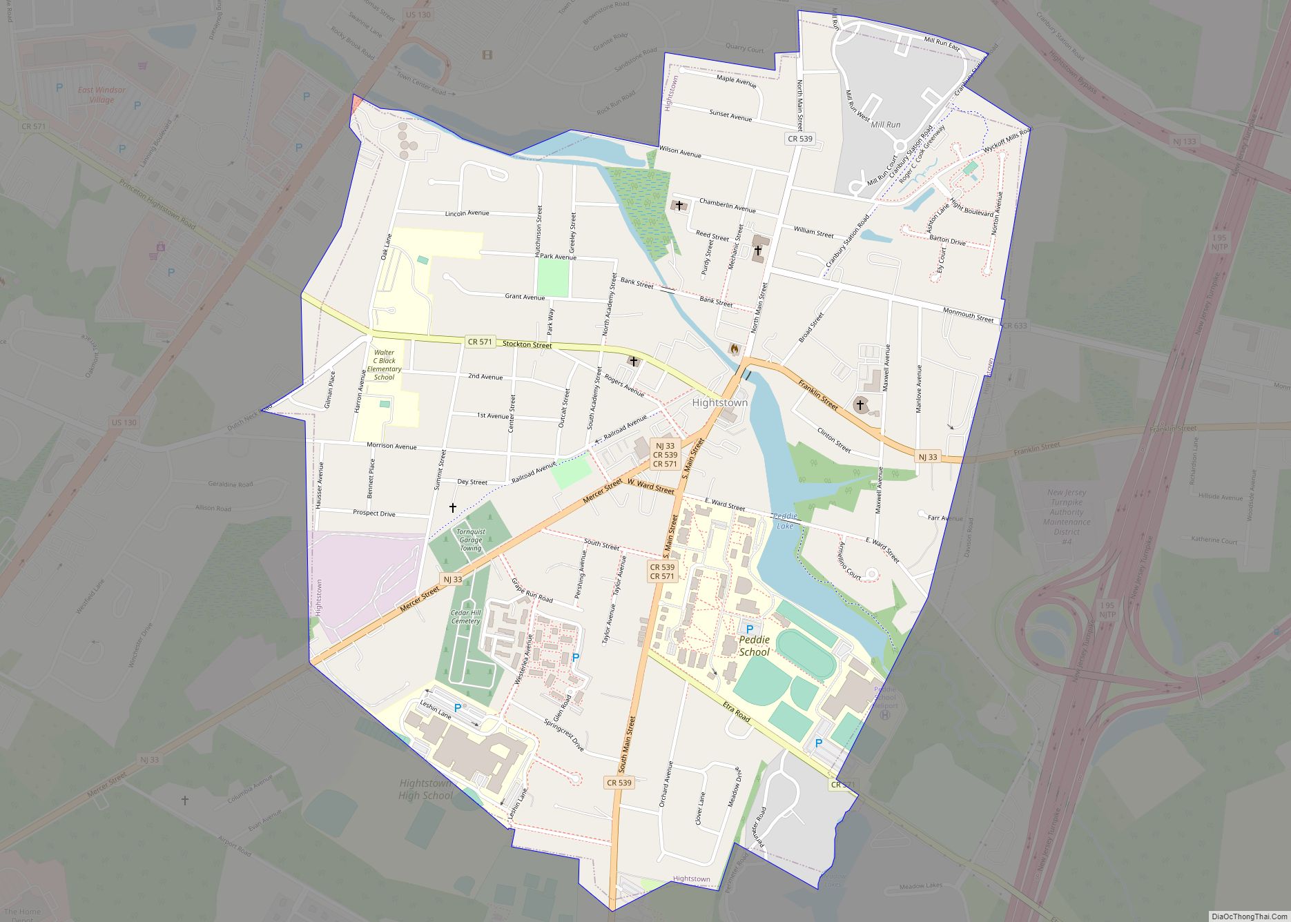
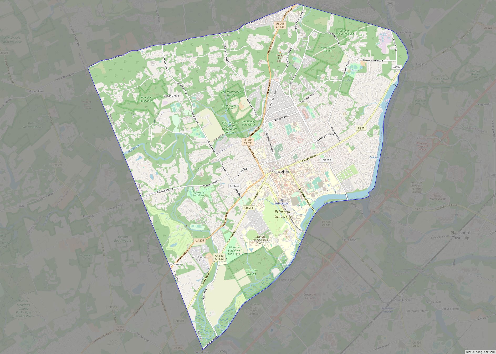
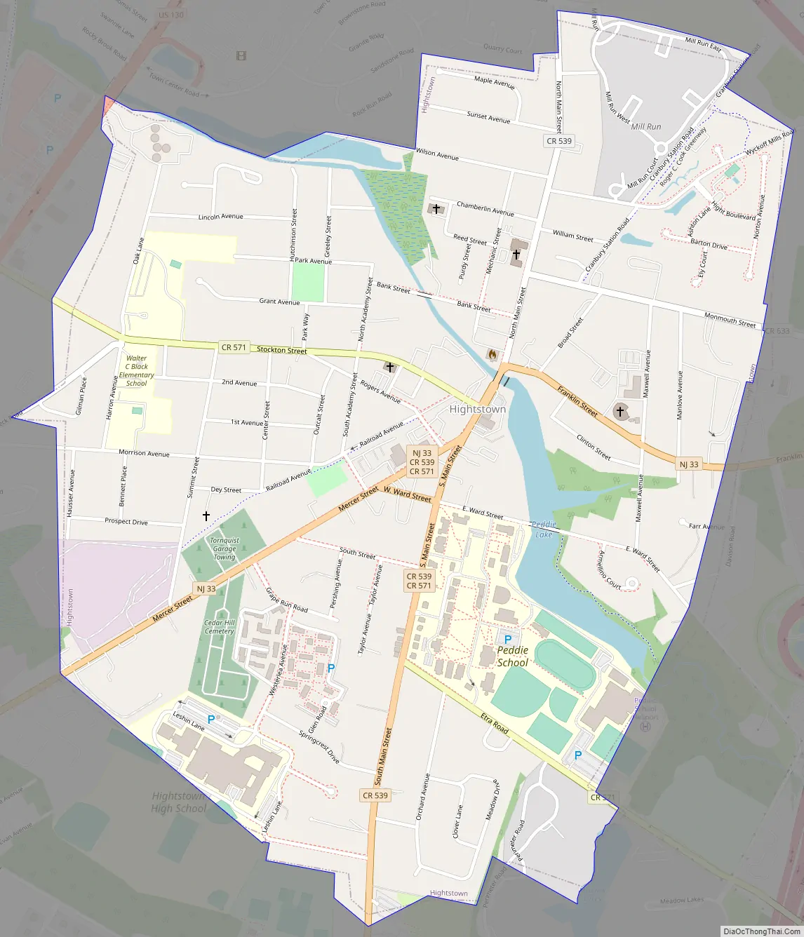
Hightstown Road Map
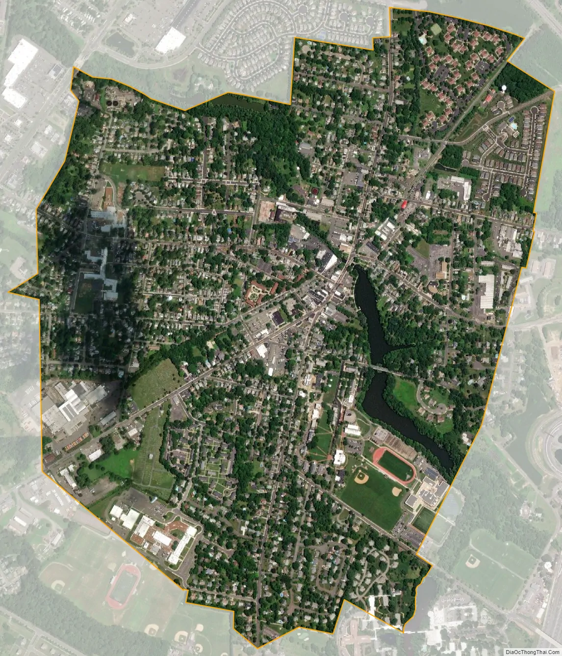
Hightstown city Satellite Map
Geography
According to the United States Census Bureau, the borough had a total area of 1.27 square miles (3.28 km), including 1.23 square miles (3.19 km) of land and 0.03 square miles (0.09 km) of water (2.60%).
The borough is an independent municipality surrounded entirely by East Windsor, making it part one of 21 pairs of “doughnut towns” in the state, where one municipality entirely surrounds another.
Hightstown is at the central-most point of New Jersey and is roughly equidistant from Philadelphia and New York City.
Ecology
According to the A. W. Kuchler U.S. potential natural vegetation types, Hightstown would have an Appalachian Oak (104) vegetation type with an Eastern Hardwood Forest (25) vegetation form.
Climate
According to the Köppen climate classification system, Hightstown has a hot-summer, wet all year, humid continental climate (Dfa). Dfa climates are characterized by at least one month having an average mean temperature at or below 32.0 °F (0.0 °C), at least four months with an average mean temperature at or above 50.0 °F (10.0 °C), at least one month with an average mean temperature at or above 71.6 °F (22.0 °C), and no significant precipitation difference between seasons. During the summer months, episodes of extreme heat and humidity can occur with heat index values at or above 100.0 °F (37.8 °C). On average, the wettest month of the year is July which corresponds with the annual peak in thunderstorm activity. During the winter months, episodes of extreme cold and wind can occur with wind chill values below 0.0 °F (−17.8 °C). The plant hardiness zone is 7a with an average annual extreme minimum air temperature of 0.0 °F (−17.8 °C). The average seasonal (November–April) snowfall total is 24 to 30 inches (61 to 76 cm), and the average snowiest month is February which corresponds with the annual peak in nor’easter activity.
See also
Map of New Jersey State and its subdivision: Map of other states:- Alabama
- Alaska
- Arizona
- Arkansas
- California
- Colorado
- Connecticut
- Delaware
- District of Columbia
- Florida
- Georgia
- Hawaii
- Idaho
- Illinois
- Indiana
- Iowa
- Kansas
- Kentucky
- Louisiana
- Maine
- Maryland
- Massachusetts
- Michigan
- Minnesota
- Mississippi
- Missouri
- Montana
- Nebraska
- Nevada
- New Hampshire
- New Jersey
- New Mexico
- New York
- North Carolina
- North Dakota
- Ohio
- Oklahoma
- Oregon
- Pennsylvania
- Rhode Island
- South Carolina
- South Dakota
- Tennessee
- Texas
- Utah
- Vermont
- Virginia
- Washington
- West Virginia
- Wisconsin
- Wyoming