Finesville is an unincorporated community and census-designated place (CDP) located within Pohatcong Township in Warren County, New Jersey, United States, that was defined as part of the 2010 United States Census. As of the 2010 Census, the CDP’s population was 175.
| Name: | Finesville CDP |
|---|---|
| LSAD Code: | 57 |
| LSAD Description: | CDP (suffix) |
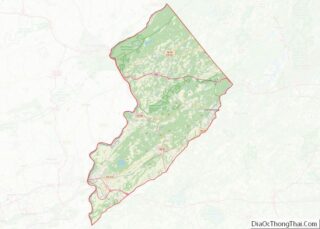
| State: | New Jersey |
| County: | Warren County |
| Elevation: | 262 ft (80 m) |
| Total Area: | 2.19 sq mi (5.68 km²) |
| Land Area: | 2.12 sq mi (5.48 km²) |
| Water Area: | 0.08 sq mi (0.20 km²) 0.00% |
| Total Population: | 364 |
| Population Density: | 171.94/sq mi (66.39/km²) |
| Area code: | 908 |
| FIPS code: | 3423340 |
| GNISfeature ID: | 876338 2583989 |
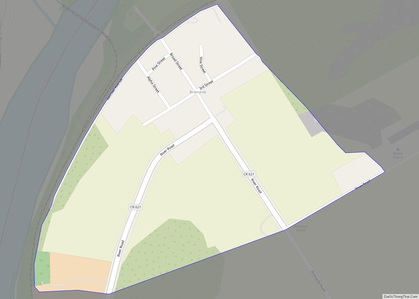
Online Interactive Map
Click on ![]() to view map in "full screen" mode.
to view map in "full screen" mode.
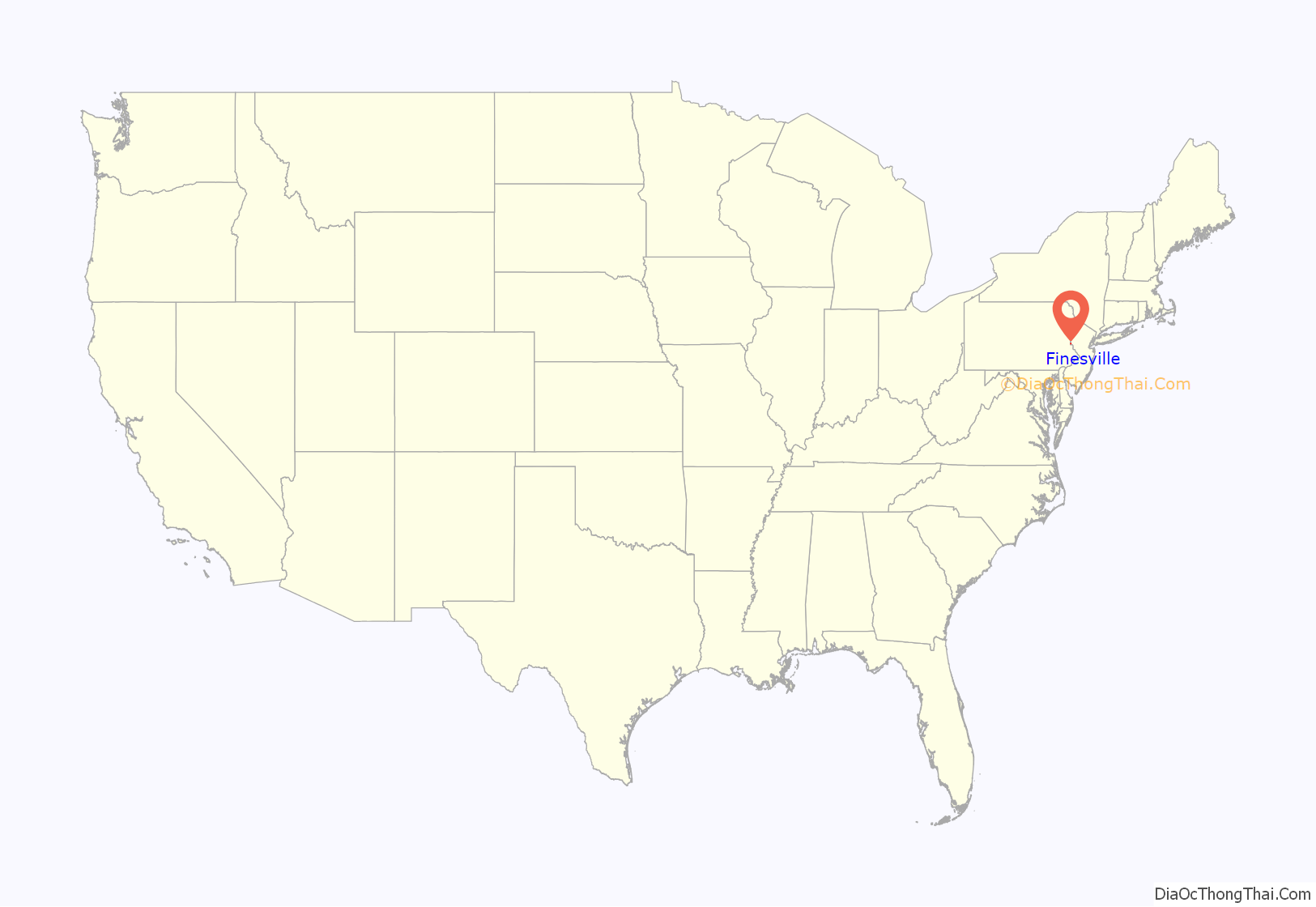
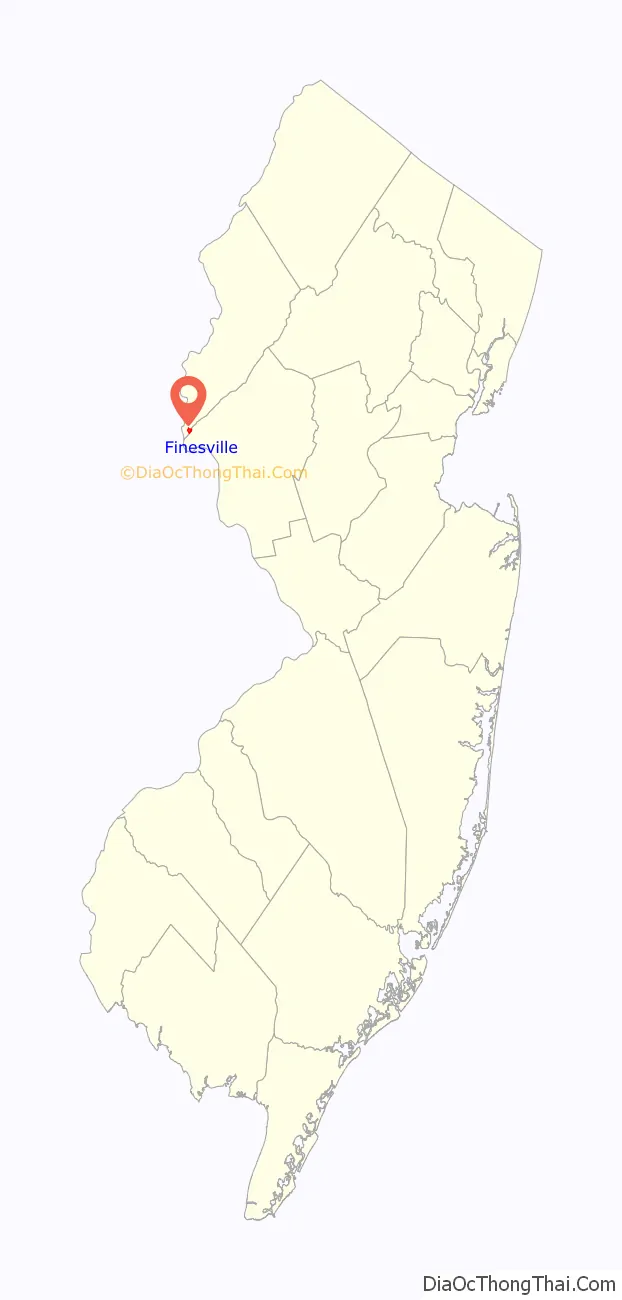
Finesville location map. Where is Finesville CDP?
History
The community is located along the Musconetcong River between Pohatcong Mountain and Musconetcong Mountain, about a mile east of the Delaware River in a section of the Musconetcong Valley called the Musconetcong Gorge. The settlement was named for Philip and John Fein (often misspelled Fine by locals) who settled in the area from Germany. They built a dam and ran an oil mill, gristmill, sawmill, hotel and a store.
The area was first built up as a permanent settlement due to the construction of Chelsea Forge, built in 1751, a charcoal-iron forge on the Musconetcong. The forge helped to provide the Continental Army with weapons to defend Valley Forge. The Shank Brothers ran a ferry across the Delaware River from the point where the Musconetcong empties into it prior to 1800. The Fein gristmill burned and was later rebuilt as the Riegel Paper Corporation’s paper mill and became the Taylor Stiles and Company knife factory.
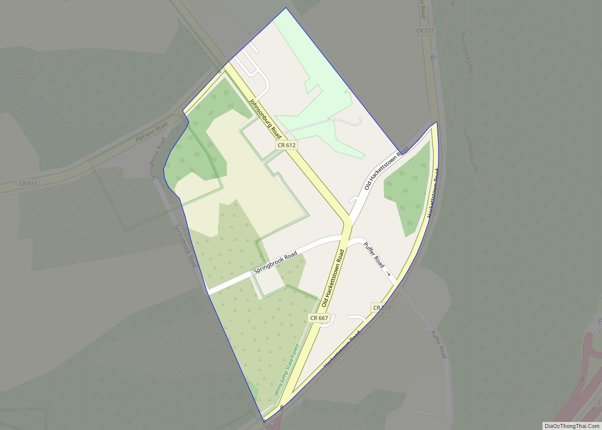
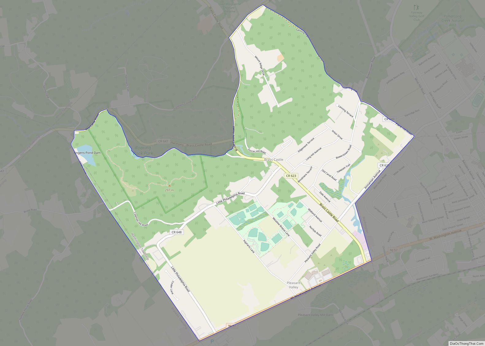
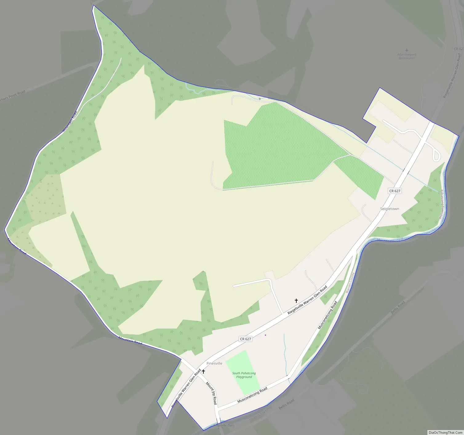
Finesville Road Map
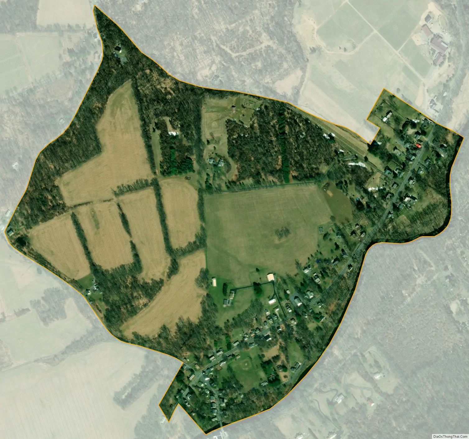
Finesville city Satellite Map
Geography
According to the United States Census Bureau, Finesville had a total area of 0.325 square miles (0.841 km), all of which was land.
See also
Map of New Jersey State and its subdivision: Map of other states:- Alabama
- Alaska
- Arizona
- Arkansas
- California
- Colorado
- Connecticut
- Delaware
- District of Columbia
- Florida
- Georgia
- Hawaii
- Idaho
- Illinois
- Indiana
- Iowa
- Kansas
- Kentucky
- Louisiana
- Maine
- Maryland
- Massachusetts
- Michigan
- Minnesota
- Mississippi
- Missouri
- Montana
- Nebraska
- Nevada
- New Hampshire
- New Jersey
- New Mexico
- New York
- North Carolina
- North Dakota
- Ohio
- Oklahoma
- Oregon
- Pennsylvania
- Rhode Island
- South Carolina
- South Dakota
- Tennessee
- Texas
- Utah
- Vermont
- Virginia
- Washington
- West Virginia
- Wisconsin
- Wyoming