Glen Gardner is a borough in Hunterdon County, in the U.S. state of New Jersey. As of the 2020 United States census, the borough’s population was 1,682, a decrease of 22 (−1.3%) from the 2010 census count of 1,704, which in turn reflected a decline of 198 (−10.4%) from the 1,902 counted in the 2000 census.
Glen Gardner is located at the extreme western border of Lebanon Township and was incorporated as a borough by an act of the New Jersey Legislature on March 26, 1919, from portions of both Lebanon Township and Bethlehem Township based on the results of a referendum held that same day. Portions of the borough were ceded to Hampton borough in 1931.
| Name: | Glen Gardner borough |
|---|---|
| LSAD Code: | 21 |
| LSAD Description: | borough (suffix) |
| State: | New Jersey |
| County: | Hunterdon County |
| Incorporated: | March 26, 1919 |
| Elevation: | 541 ft (165 m) |
| Total Area: | 1.55 sq mi (4.01 km²) |
| Land Area: | 1.55 sq mi (4.01 km²) |
| Water Area: | 0.00 sq mi (0.00 km²) 0.00% |
| Total Population: | 1,682 |
| Population Density: | 1,086.6/sq mi (419.5/km²) |
| ZIP code: | 08826 |
| Area code: | 908 exchange: 537, 638, 932 |
| FIPS code: | 3426550 |
| GNISfeature ID: | 0885232 |
| Website: | www.glengardner.org |
Online Interactive Map
Click on ![]() to view map in "full screen" mode.
to view map in "full screen" mode.
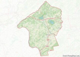
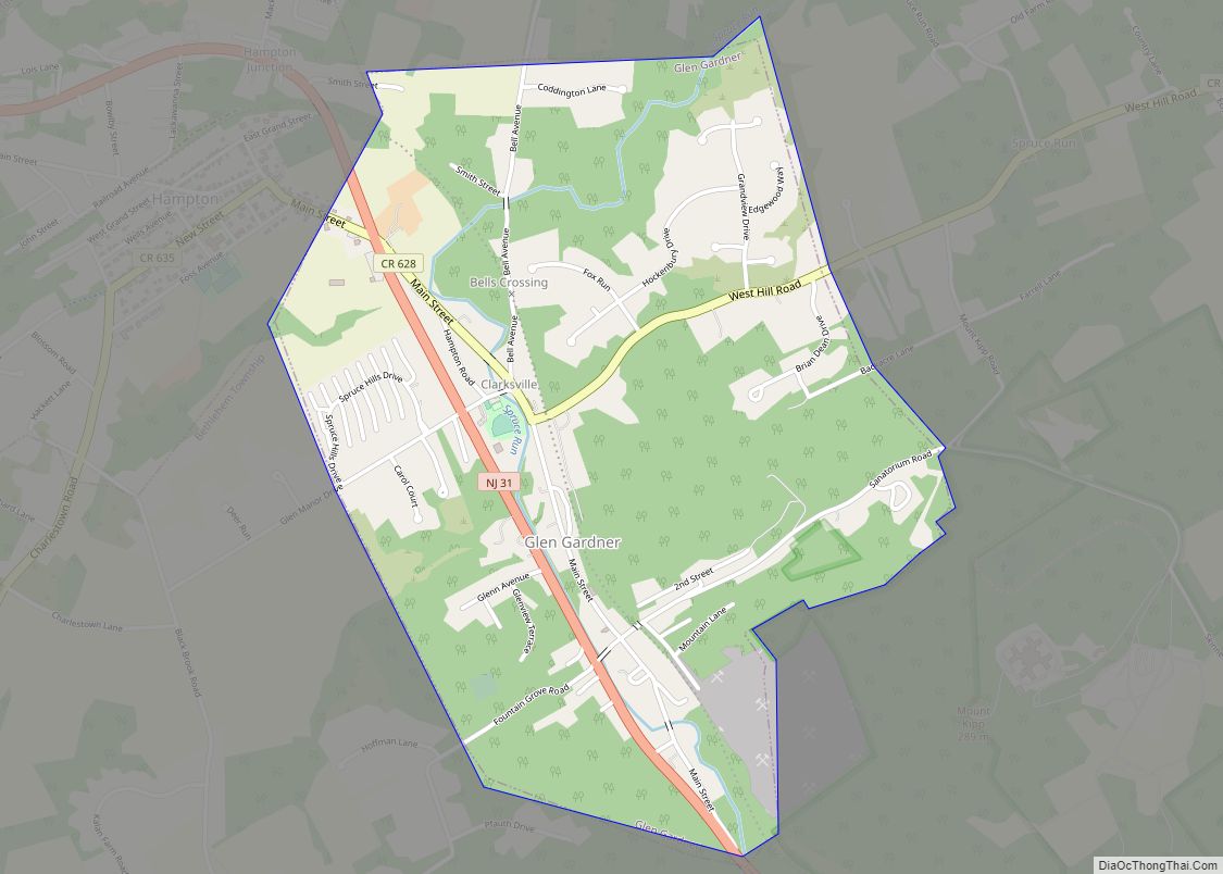
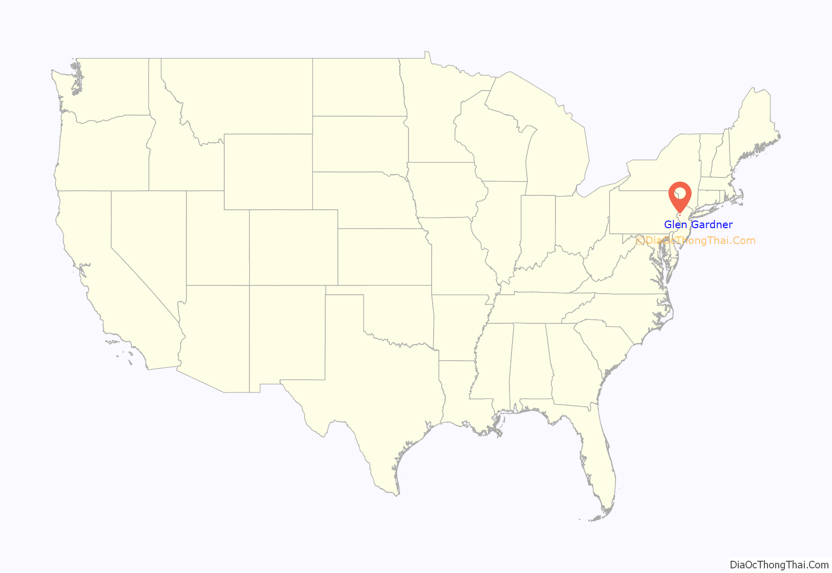
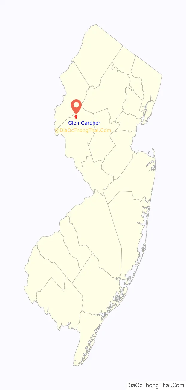
Glen Gardner location map. Where is Glen Gardner borough?
History
Originally settled by the Lenape Native Americans, European settlement began around the time of the American Revolutionary War.
The area that is now Glen Gardner had been known as Eveland’s Tavern for tavernkeeper John Eveland. Later, the area was variously called Spruce Run Mills and Sodom. The name of both the community and post office were officially changed to Glen Gardner in 1871 to mark the glen of the Spruce Run and in honor of the Gardner brothers who owned a chair and frame factory in the area.
As part of the 1931 settlement reached between the two municipalities to resolve a border dispute dating back to the borough of Glen Gardner’s formation in 1919, Hampton paid Glen Gardner $4,000 (equivalent to $71,000 in 2021) for 20 acres (8.1 ha) of land that officially became part of the borough of Hampton.
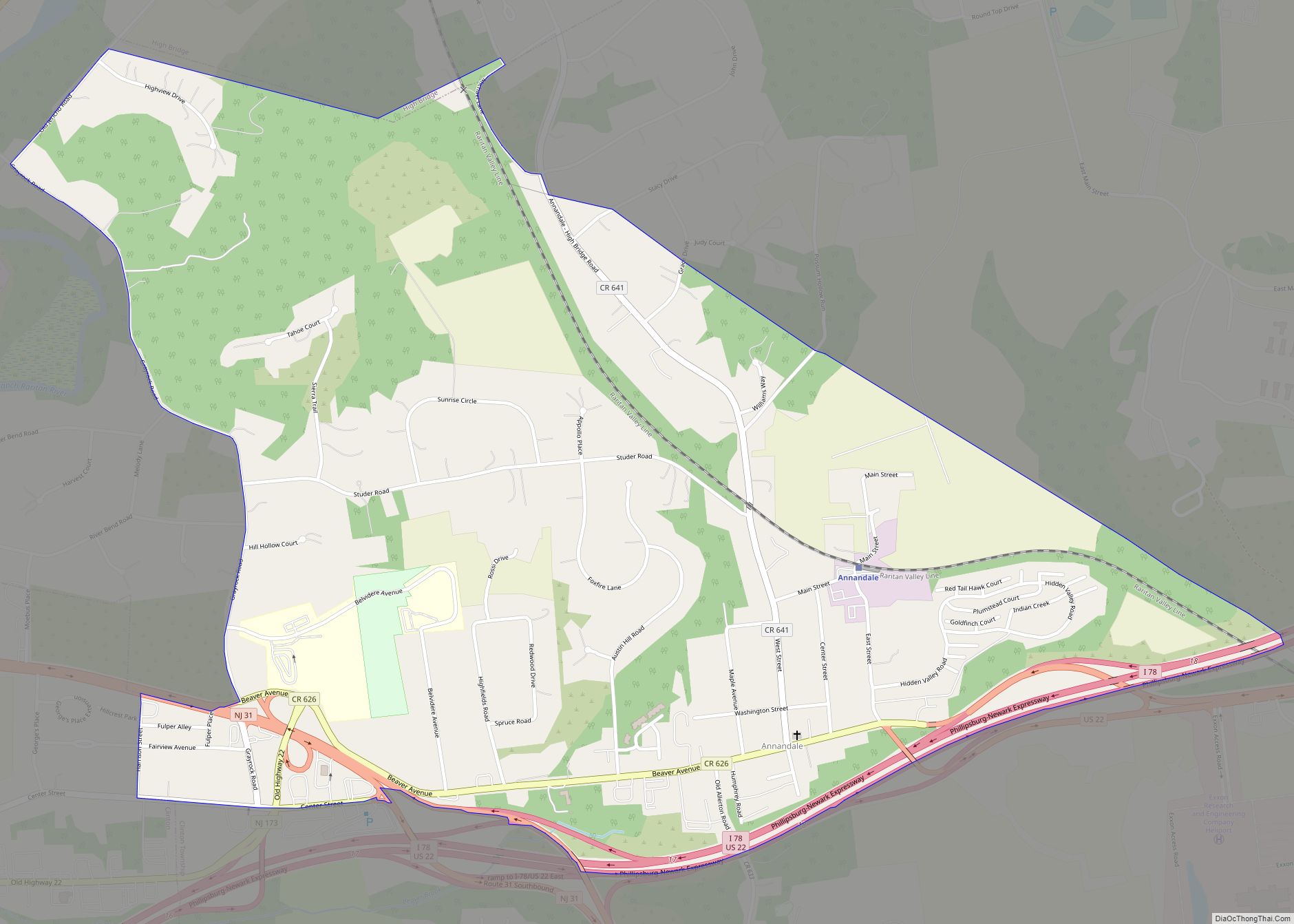
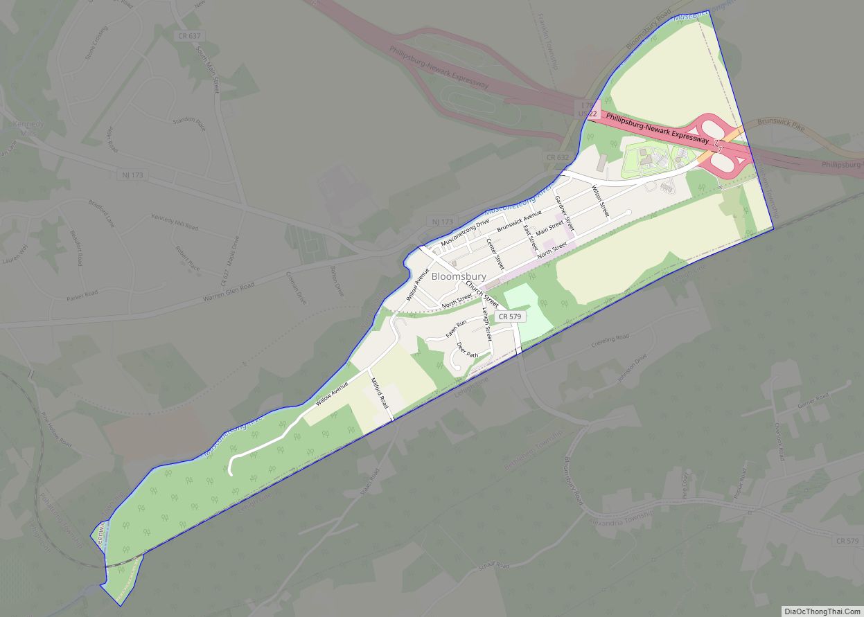
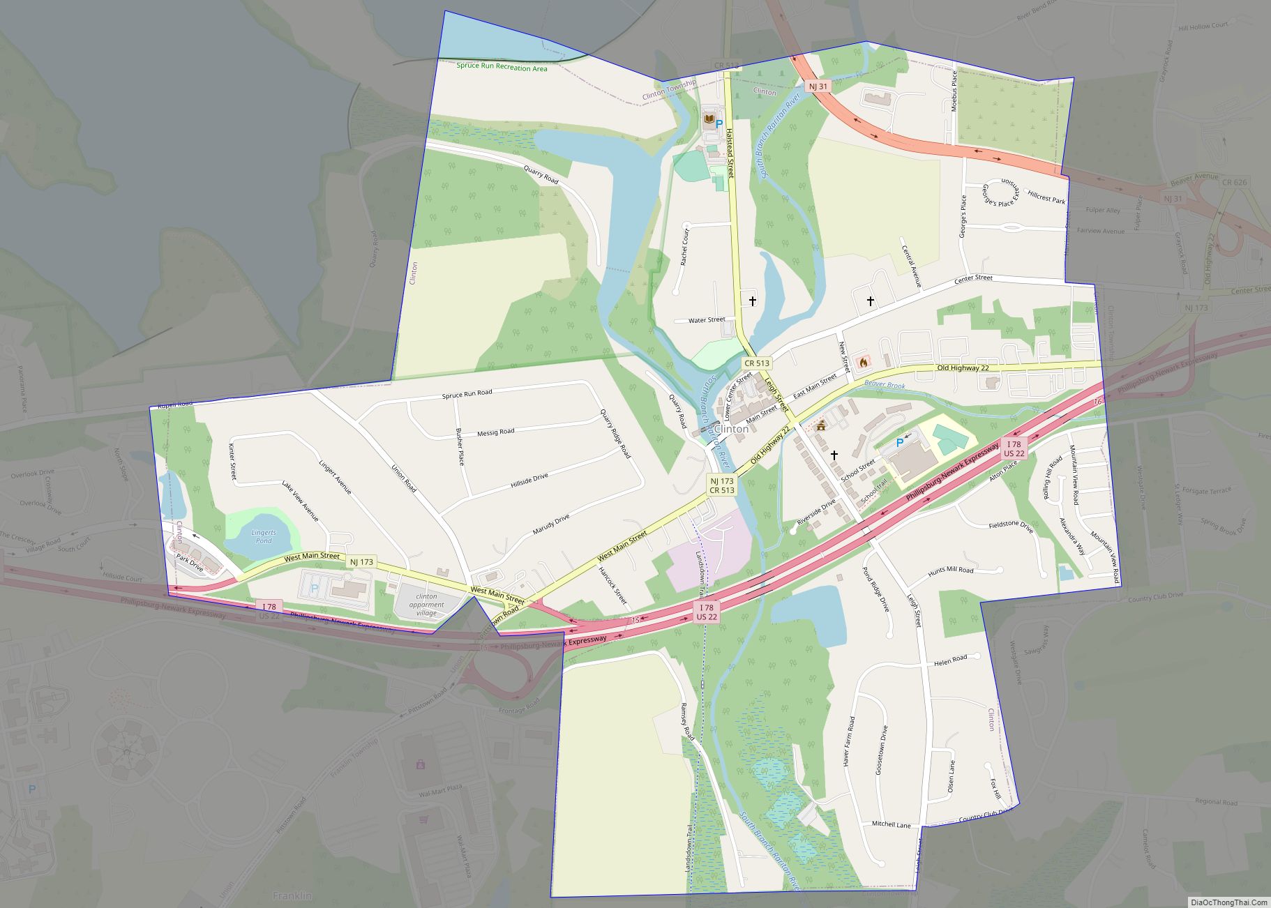
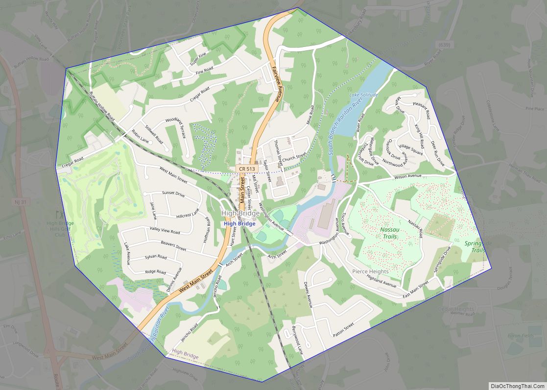
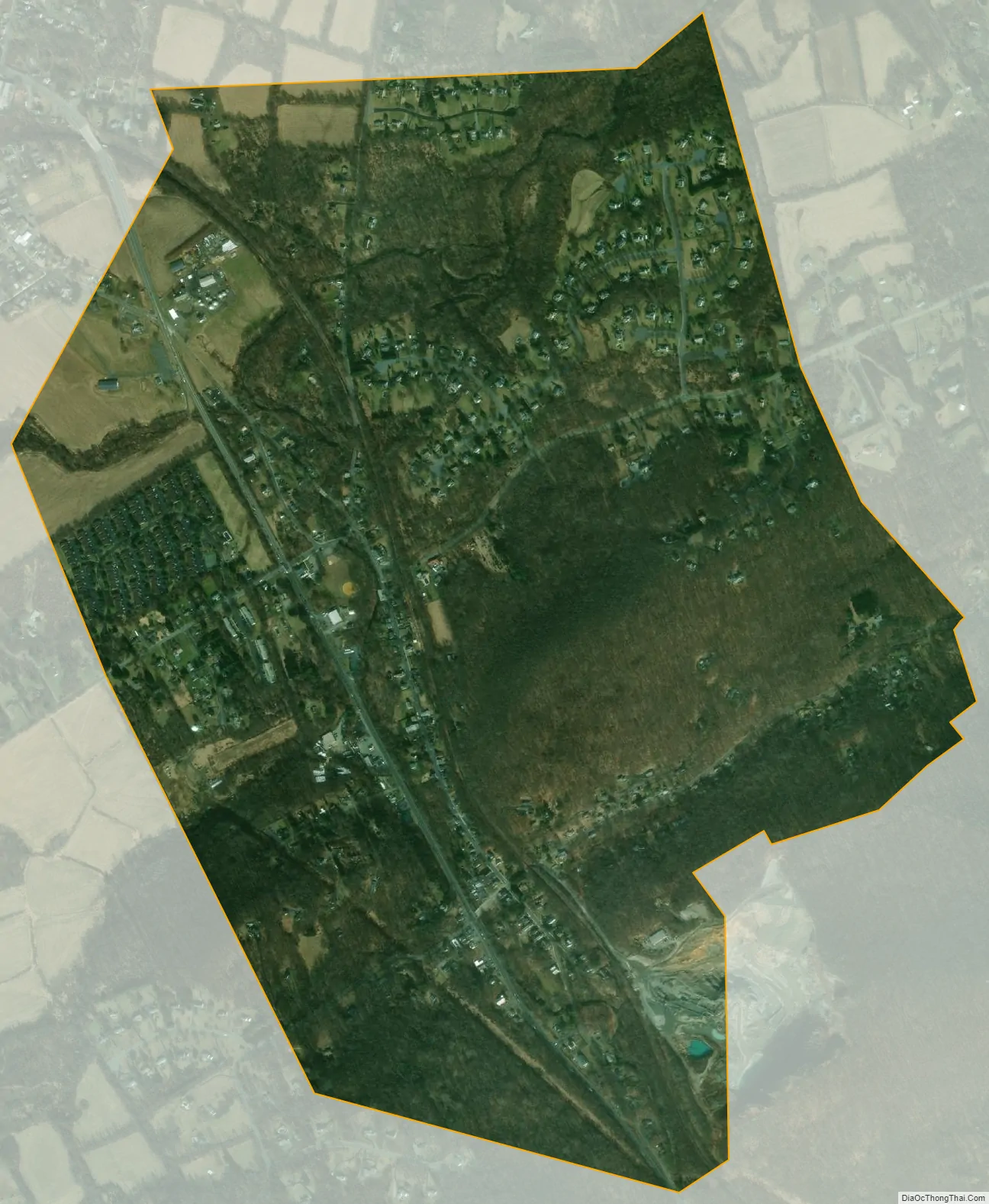
Glen Gardner Road Map
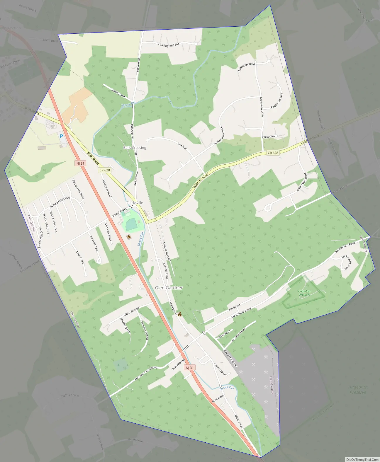
Glen Gardner city Satellite Map
Geography
According to the United States Census Bureau, the borough had a total area of 1.55 square miles (4.01 km), all of which was land.
Bells Crossing and Clarksville are unincorporated communities located within Glen Gardner.
The borough borders the Hunterdon County municipalities of Bethlehem Township, Hampton Borough and Lebanon Township.
See also
Map of New Jersey State and its subdivision: Map of other states:- Alabama
- Alaska
- Arizona
- Arkansas
- California
- Colorado
- Connecticut
- Delaware
- District of Columbia
- Florida
- Georgia
- Hawaii
- Idaho
- Illinois
- Indiana
- Iowa
- Kansas
- Kentucky
- Louisiana
- Maine
- Maryland
- Massachusetts
- Michigan
- Minnesota
- Mississippi
- Missouri
- Montana
- Nebraska
- Nevada
- New Hampshire
- New Jersey
- New Mexico
- New York
- North Carolina
- North Dakota
- Ohio
- Oklahoma
- Oregon
- Pennsylvania
- Rhode Island
- South Carolina
- South Dakota
- Tennessee
- Texas
- Utah
- Vermont
- Virginia
- Washington
- West Virginia
- Wisconsin
- Wyoming