Griggstown is an unincorporated community and census-designated place (CDP) located within Franklin Township, in Somerset County, New Jersey, United States. As of the 2010 United States Census, the CDP’s population was 819. The area was first settled around 1733.
| Name: | Griggstown CDP |
|---|---|
| LSAD Code: | 57 |
| LSAD Description: | CDP (suffix) |
| State: | New Jersey |
| County: | Somerset County |
| Elevation: | 102 ft (31 m) |
| Total Area: | 2.52 sq mi (6.52 km²) |
| Land Area: | 2.44 sq mi (6.33 km²) |
| Water Area: | 0.07 sq mi (0.18 km²) 2.86% |
| Total Population: | 835 |
| Population Density: | 341.51/sq mi (131.83/km²) |
| Area code: | 609/640, 732/848 and 908 |
| FIPS code: | 3428470 |
| GNISfeature ID: | 2583995 |
Online Interactive Map
Click on ![]() to view map in "full screen" mode.
to view map in "full screen" mode.
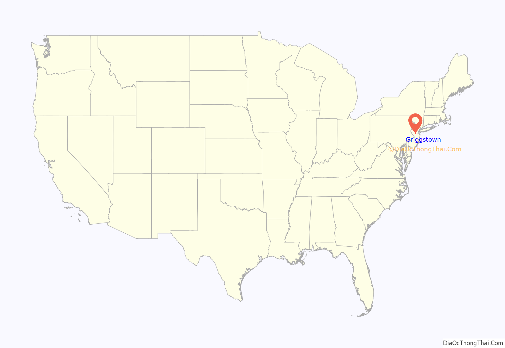
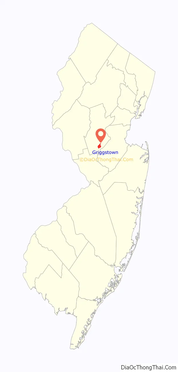
Griggstown location map. Where is Griggstown CDP?
History
Many of the earliest European settlers of the area came from Gravesend, Brooklyn. Among these settlers were four sons born to John and Elizabeth Griggs: Benjamin (b. 1690), Daniel, Samuel, and Thomas. Griggstown was named after Benjamin Griggs, who established a grist mill on the Millstone River that served as a meeting place for the European farmers of the area and as such the center of the community that would become Griggstown.
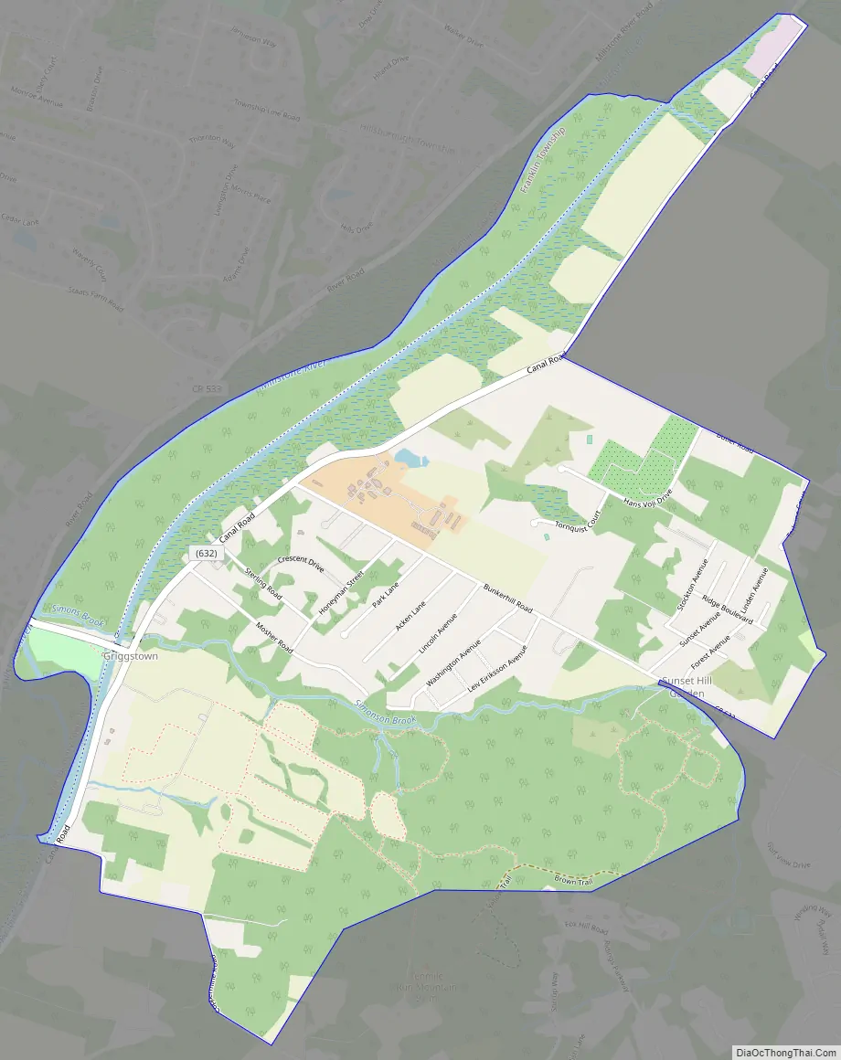
Griggstown Road Map
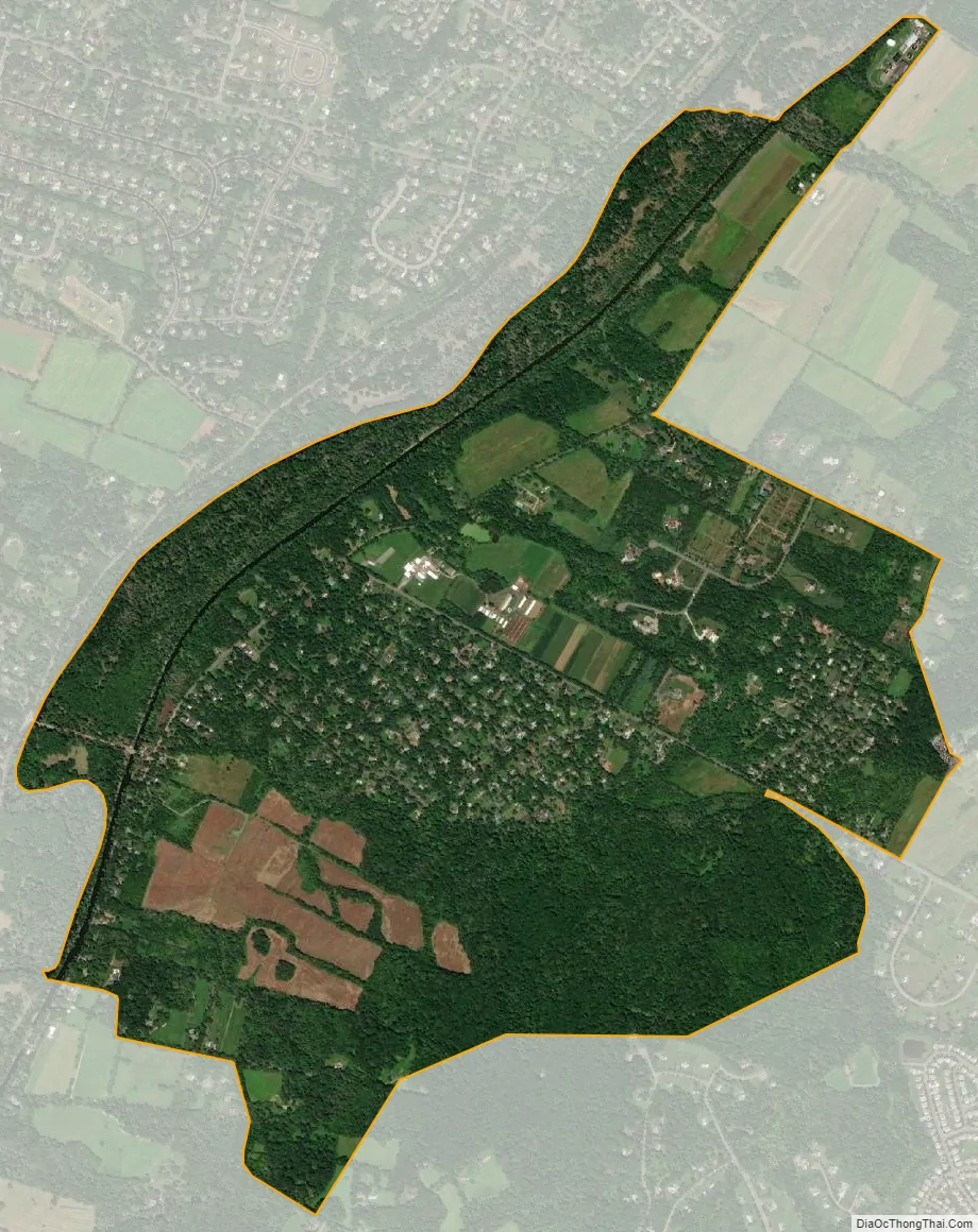
Griggstown city Satellite Map
Geography
According to the United States Census Bureau, the CDP had a total area of 2.519 square miles (6.524 km), including 2.447 square miles (6.338 km) of land and 0.072 square miles (0.187 km) of water (2.86%).
Griggstown is adjacent to the communities of Kingston, Rocky Hill, Montgomery Township, Kendall Park (in South Brunswick), and Franklin Park. The closest city of note is Princeton, New Jersey. The Millstone River and the Delaware and Raritan Canal both flow through Griggstown.
Griggstown is accessible via Route 27 (Lincoln Highway), County Route 518 and U.S. Route 206. The major roads in Griggstown are Bunker Hill Road and Canal Road. There is also a small access road with a one-lane bridge(at one time referred to as “twin bridges”) known as the Griggstown Causeway that offers access to and from Griggstown as well. The D&R Canal State Park is located on this road in conjunction with the canal side tow-path.
Selected sites
- Griggstown Quail Farm
- Griggstown Cemetery where nineteen Irish canal workers who died of cholera in an 1832-1833 epidemic are buried.
- Griggstown Volunteer Fire Company
- Griggstown Lock of the Delaware and Raritan Canal
- Griggstown Mine
- Norseville
- Sunset Hill Garden
See also
Map of New Jersey State and its subdivision: Map of other states:- Alabama
- Alaska
- Arizona
- Arkansas
- California
- Colorado
- Connecticut
- Delaware
- District of Columbia
- Florida
- Georgia
- Hawaii
- Idaho
- Illinois
- Indiana
- Iowa
- Kansas
- Kentucky
- Louisiana
- Maine
- Maryland
- Massachusetts
- Michigan
- Minnesota
- Mississippi
- Missouri
- Montana
- Nebraska
- Nevada
- New Hampshire
- New Jersey
- New Mexico
- New York
- North Carolina
- North Dakota
- Ohio
- Oklahoma
- Oregon
- Pennsylvania
- Rhode Island
- South Carolina
- South Dakota
- Tennessee
- Texas
- Utah
- Vermont
- Virginia
- Washington
- West Virginia
- Wisconsin
- Wyoming


