Kingston is an unincorporated community and census designated place (CDP) along the border of South Brunswick Township in Middlesex County and Franklin Township in Somerset County, and also located relatively near Princeton in Mercer County in New Jersey, United States. The historic settlement is in the Raritan Valley region, located along the course of the Millstone River. As of the 2010 United States Census, the CDP’s population was 1,493, of which 1,222 were in South Brunswick Township and 271 in Franklin Township.
The New Jersey State Planning Commission created the Kingston Village Advisory Committee in 2001 to address issues related to this distinct area. Both South Brunswick and Franklin appoint members to the committee, which holds an annual meeting to discuss issues pertinent to the Kingston area. Kingston is (so far) unique as the only village center that has been officially designated by the New Jersey State Planning Commission.
Kingston is located in five historic districts and is part of the Millstone River Valley Scenic Byway. The Delaware and Raritan Canal and Rockingham State Historic Site are a short distance away.
| Name: | Kingston CDP |
|---|---|
| LSAD Code: | 57 |
| LSAD Description: | CDP (suffix) |
| State: | New Jersey |
| County: | Middlesex County, Somerset County |
| Elevation: | 121 ft (37 m) |
| Total Area: | 1.94 sq mi (5.03 km²) |
| Land Area: | 1.87 sq mi (4.85 km²) |
| Water Area: | 0.07 sq mi (0.18 km²) 3.80% |
| Total Population: | 1,581 |
| Population Density: | 843.65/sq mi (325.81/km²) |
| ZIP code: | 08528 |
| Area code: | 609 |
| FIPS code: | 3436930 |
| GNISfeature ID: | 02584006 |
Online Interactive Map
Click on ![]() to view map in "full screen" mode.
to view map in "full screen" mode.
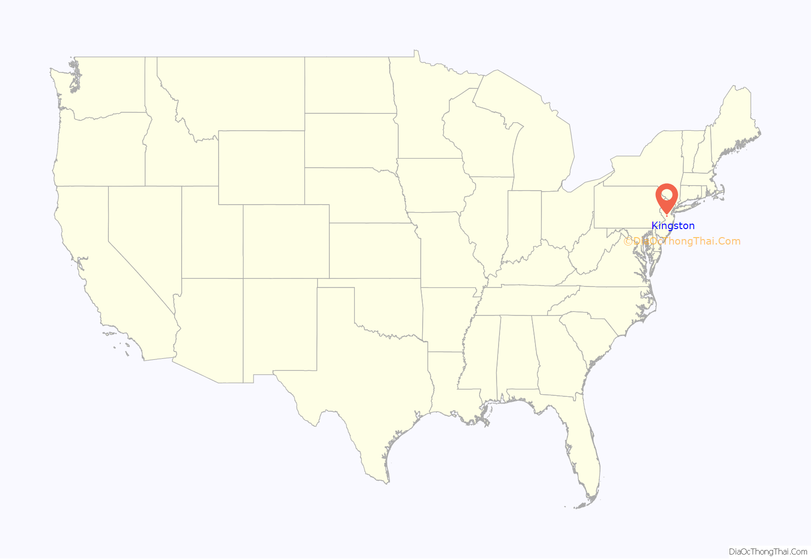
Kingston location map. Where is Kingston CDP?

History
Jediah Higgins purchased 1,000 acres (4.0 km) from the Native Americans in the early 18th century and the town of Kingston was established. Kingston’s location on the Lenape Assunpink Trail where it crossed the Millstone River and later becoming part of the King’s Highway was the prime factor in its early prominence. Kingston was by far the most active and important village, being situated on both the heavily traveled King’s Road and Millstone River, combining commercial activities of both mills and taverns.
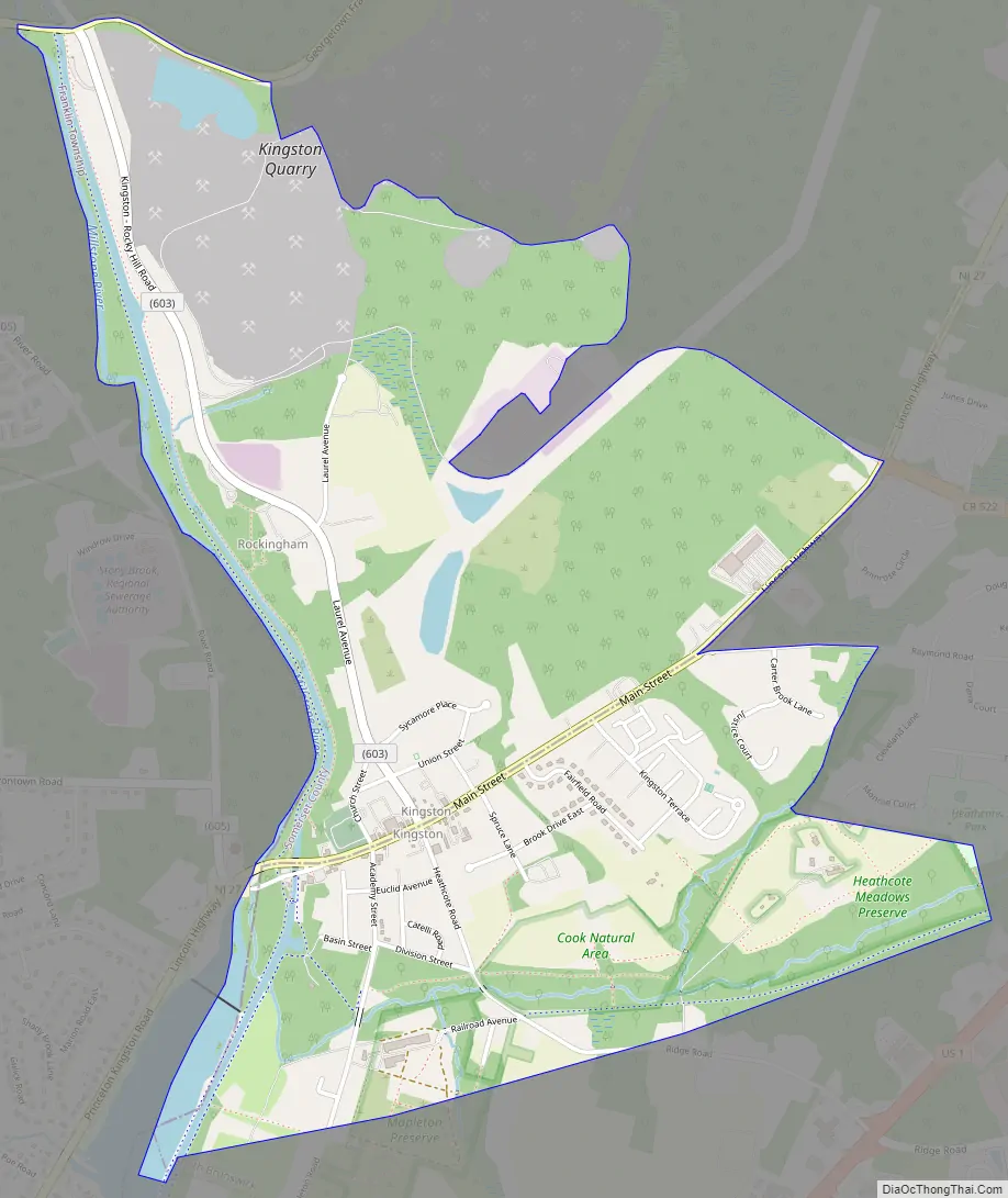
Kingston Road Map
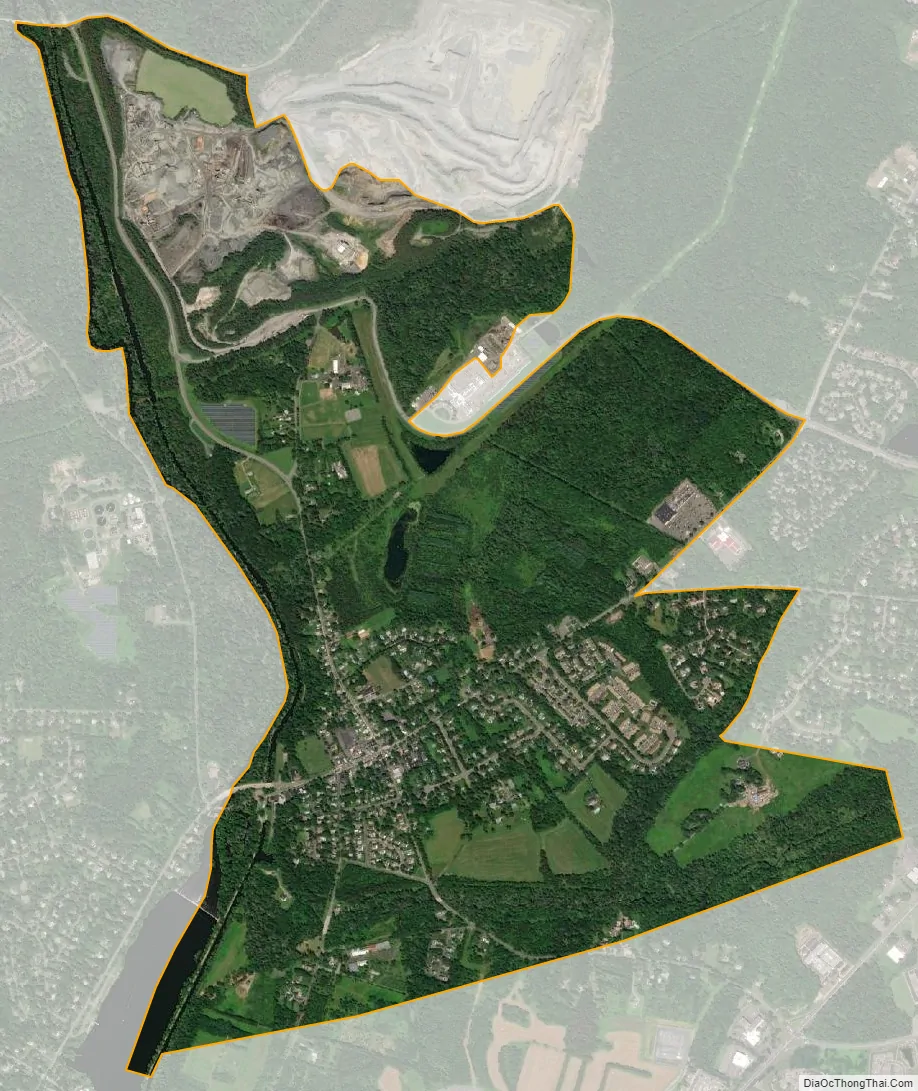
Kingston city Satellite Map
Geography
According to the United States Census Bureau, the CDP had a total area of 2.326 square miles (6.025 km), of which, 2.238 square miles (5.796 km) of it was land and 0.088 square miles (0.229 km) of it (3.80%) was water.
See also
Map of New Jersey State and its subdivision: Map of other states:- Alabama
- Alaska
- Arizona
- Arkansas
- California
- Colorado
- Connecticut
- Delaware
- District of Columbia
- Florida
- Georgia
- Hawaii
- Idaho
- Illinois
- Indiana
- Iowa
- Kansas
- Kentucky
- Louisiana
- Maine
- Maryland
- Massachusetts
- Michigan
- Minnesota
- Mississippi
- Missouri
- Montana
- Nebraska
- Nevada
- New Hampshire
- New Jersey
- New Mexico
- New York
- North Carolina
- North Dakota
- Ohio
- Oklahoma
- Oregon
- Pennsylvania
- Rhode Island
- South Carolina
- South Dakota
- Tennessee
- Texas
- Utah
- Vermont
- Virginia
- Washington
- West Virginia
- Wisconsin
- Wyoming


