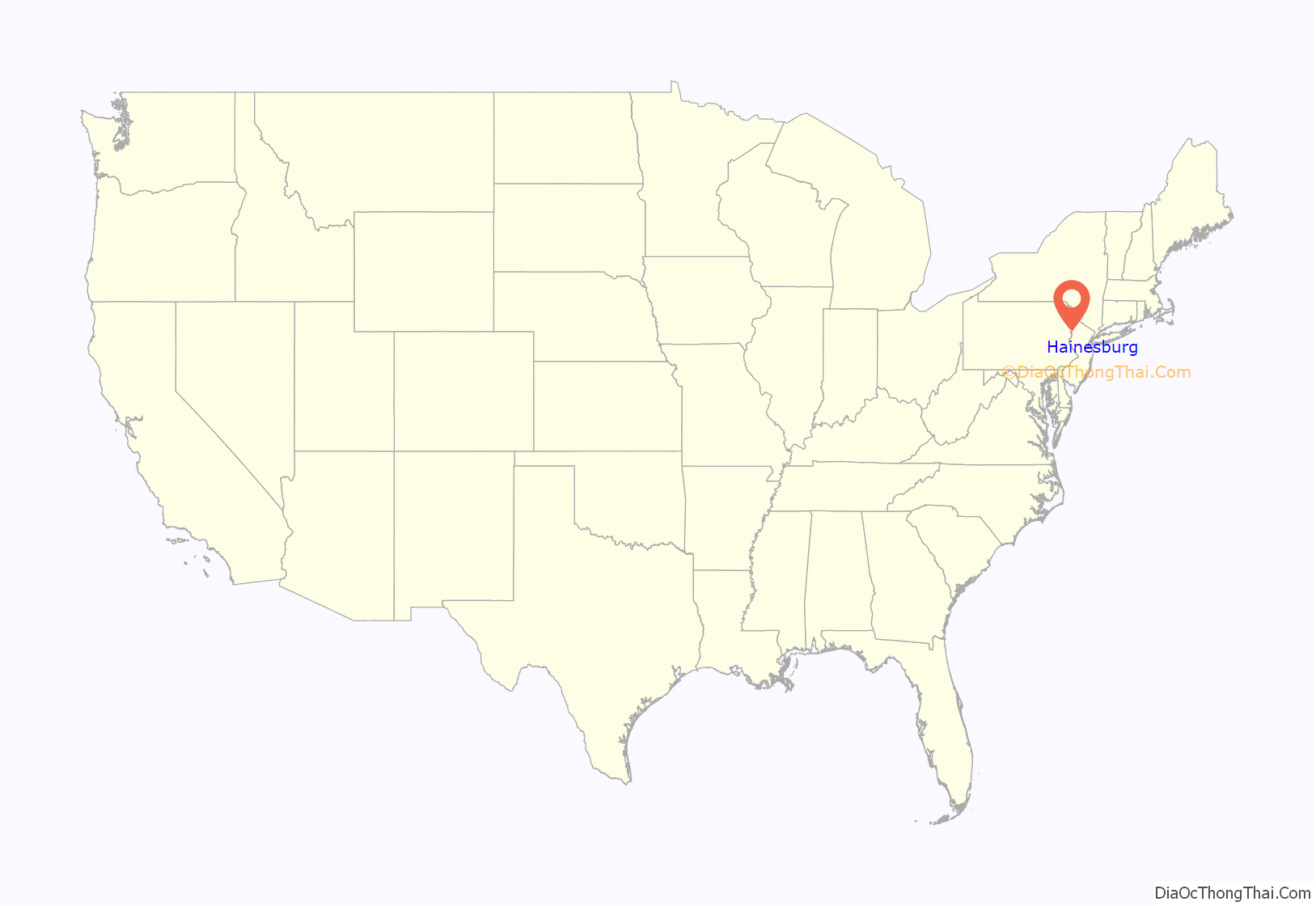
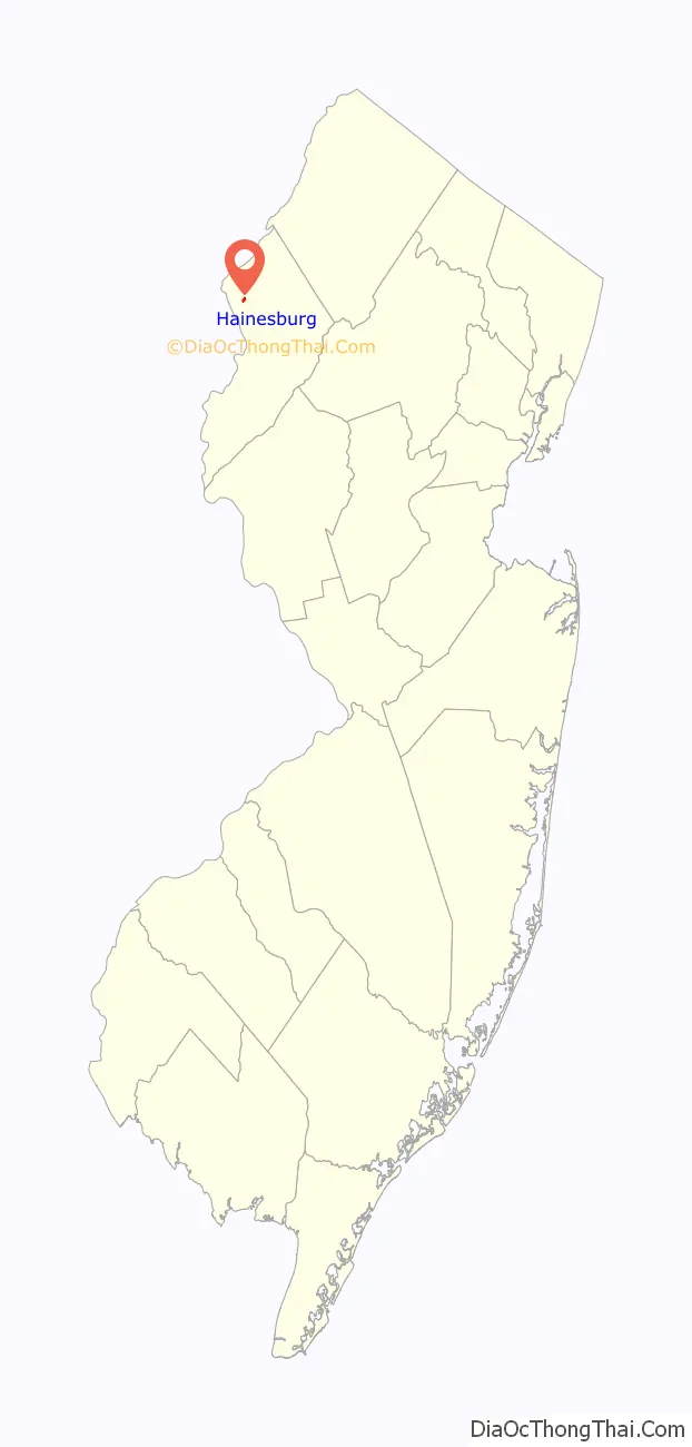
Hainesburg is an unincorporated community and census-designated place (CDP) located within Knowlton Township in Warren County, New Jersey, United States. While the community has existed for over a century, the CDP was designated as part of the 2010 United States Census. As of the 2010 Census, the CDP’s population was 91.
| Name: | Hainesburg CDP |
|---|---|
| LSAD Code: | 57 |
| LSAD Description: | CDP (suffix) |
| State: | New Jersey |
| County: | Warren County |
| Elevation: | 318 ft (97 m) |
| Total Area: | 1.52 sq mi (3.95 km²) |
| Land Area: | 1.50 sq mi (3.89 km²) |
| Water Area: | 0.02 sq mi (0.05 km²) 0.84% |
| Total Population: | 422 |
| Population Density: | 280.77/sq mi (108.37/km²) |
| Area code: | 908 |
| FIPS code: | 3428920 |
| GNISfeature ID: | 02583997 |
Online Interactive Map
Click on ![]() to view map in "full screen" mode.
to view map in "full screen" mode.
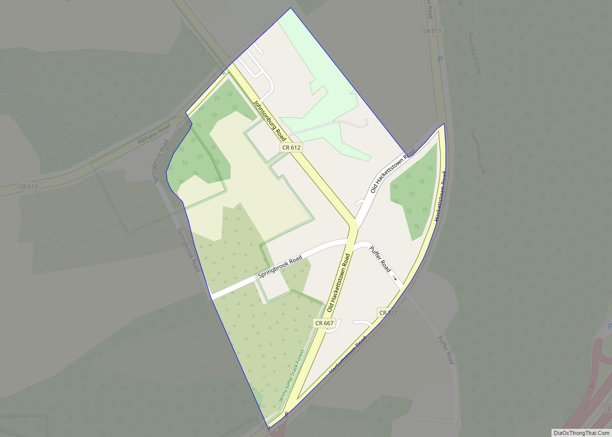
Hainesburg location map. Where is Hainesburg CDP?
History
Hainesburg is located next to Paulins Kill, and a stone grist mill was erected on that waterway prior to the American Revolution. The mill was destroyed by fire in 1908.
A tannery was built in 1840 by Jacob Hibler.
Land was acquired at Hainesburg in 1843 by the Beck brothers, who divided it into lots. Originally known as “Sodom”, the town’s first post office was called “Hainesburg” in honor of John Haines, who made a significant donation to a school located there.
A saw mill was built by George Adams in 1881, and a station on the New York, Susquehanna and Western Railway was located in Hainesburg.
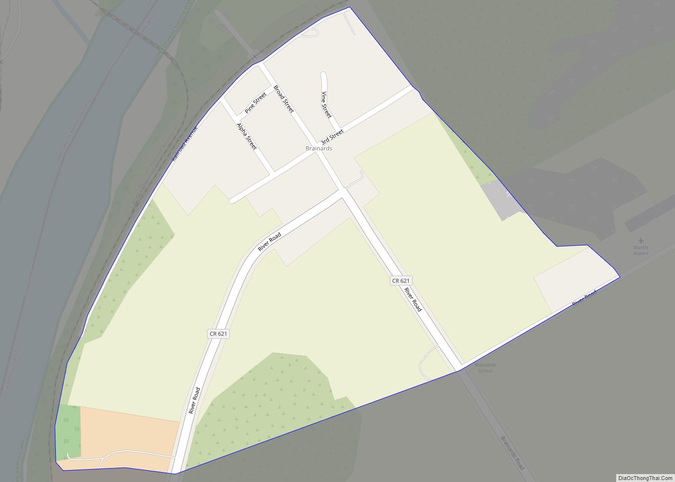
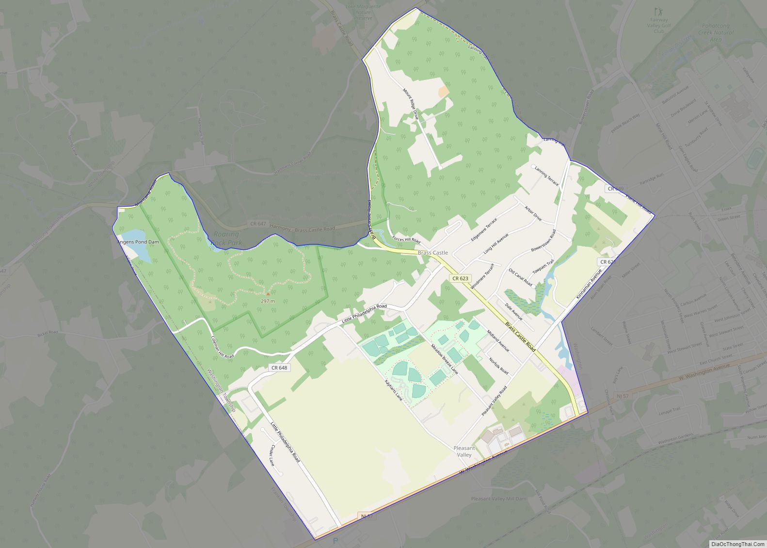
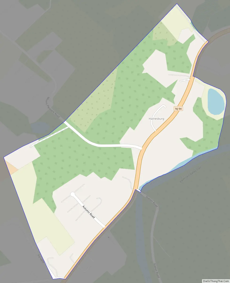
Hainesburg Road Map
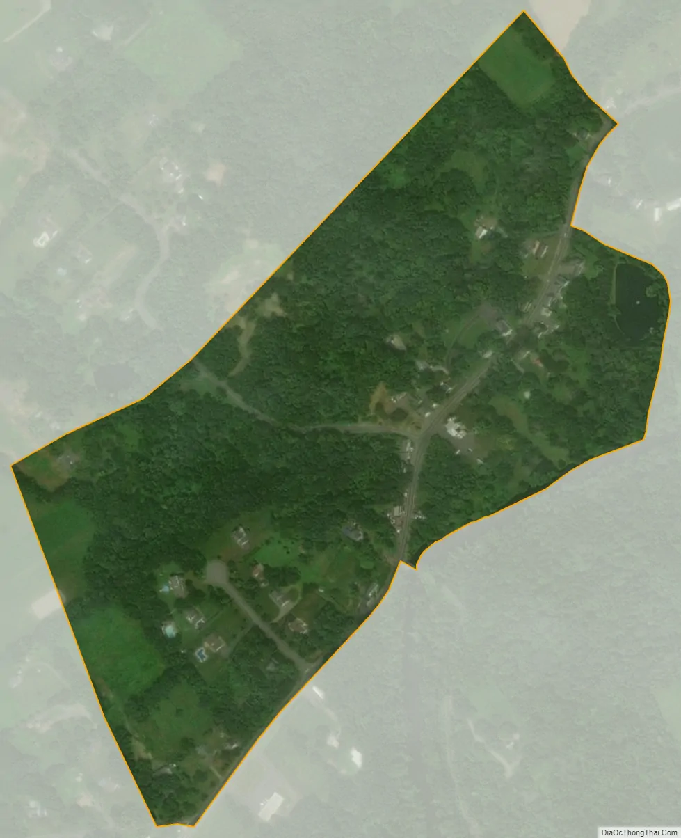
Hainesburg city Satellite Map
Geography
According to the United States Census Bureau, the CDP had a total area of 0.156 square miles (0.405 km), including 0.155 square miles (0.402 km) of land and 0.001 square miles (0.003 km) of water (0.84%).
See also
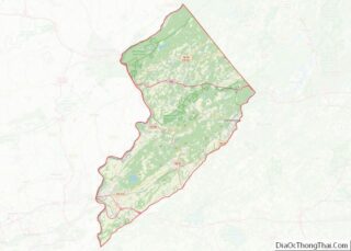
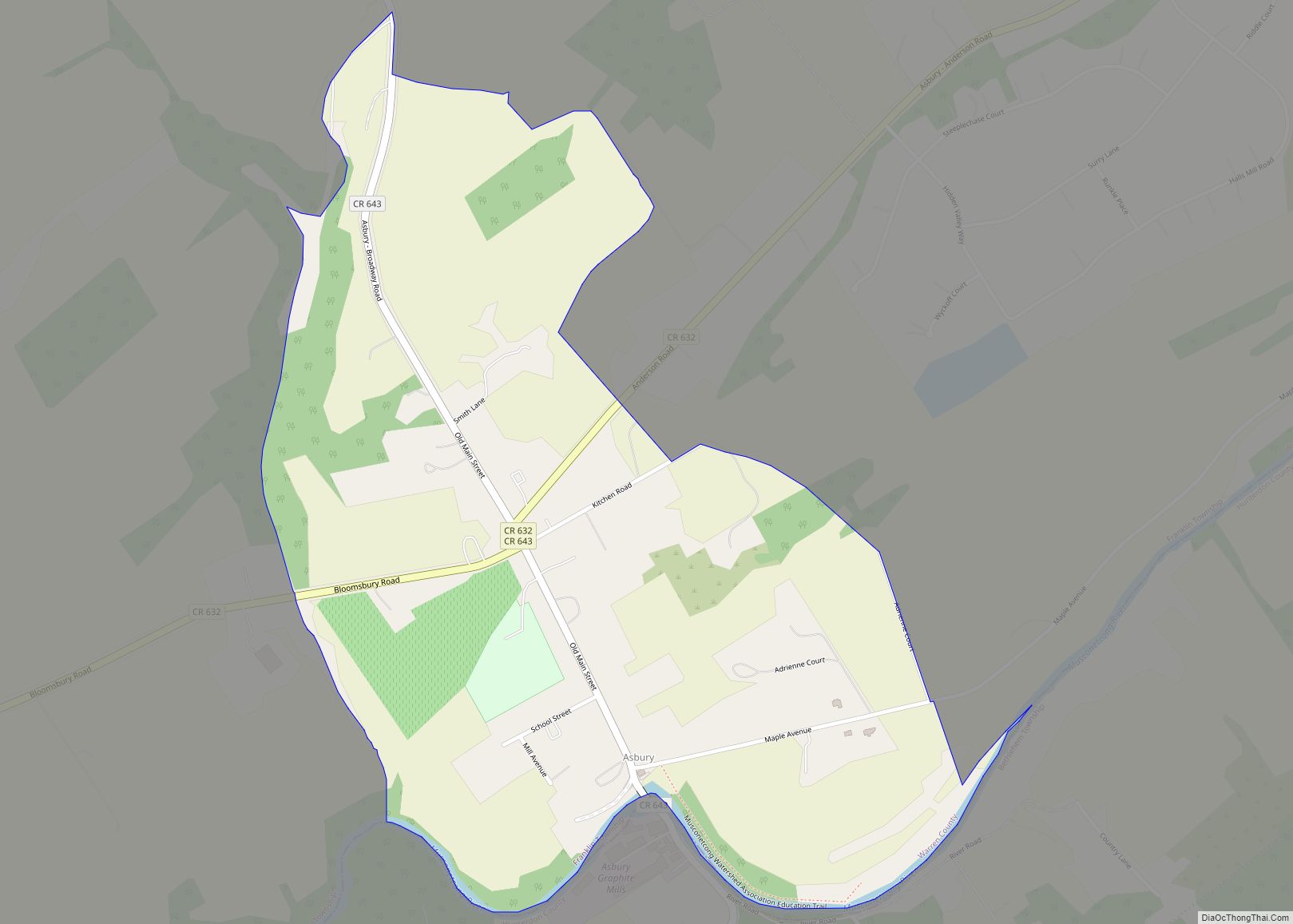
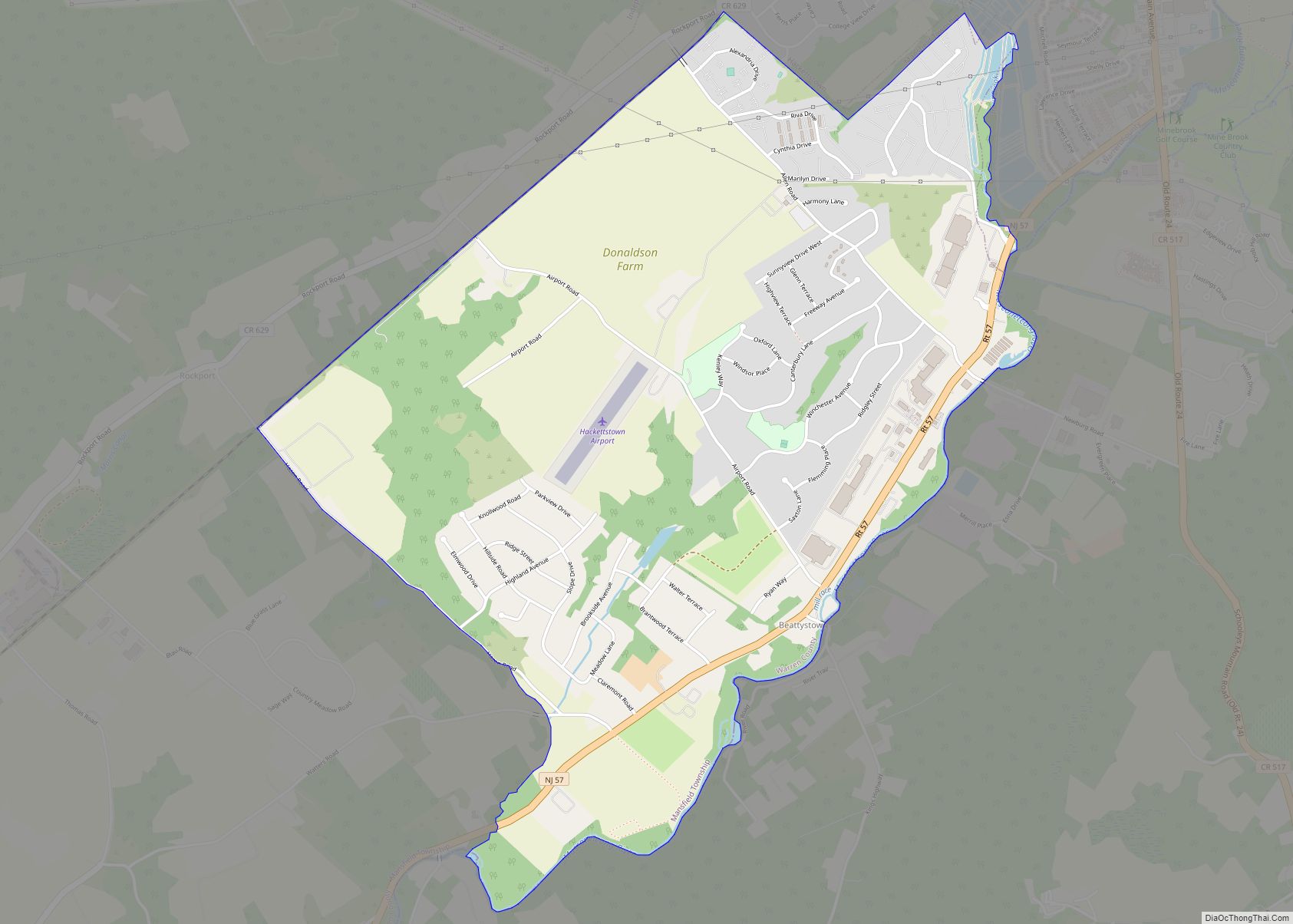
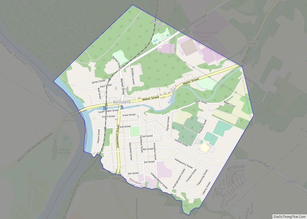
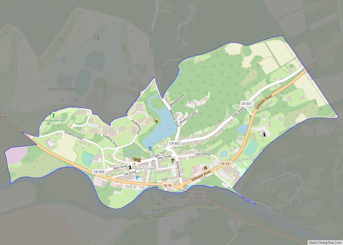
Map of New Jersey State and its subdivision: Map of other states:- Alabama
- Alaska
- Arizona
- Arkansas
- California
- Colorado
- Connecticut
- Delaware
- District of Columbia
- Florida
- Georgia
- Hawaii
- Idaho
- Illinois
- Indiana
- Iowa
- Kansas
- Kentucky
- Louisiana
- Maine
- Maryland
- Massachusetts
- Michigan
- Minnesota
- Mississippi
- Missouri
- Montana
- Nebraska
- Nevada
- New Hampshire
- New Jersey
- New Mexico
- New York
- North Carolina
- North Dakota
- Ohio
- Oklahoma
- Oregon
- Pennsylvania
- Rhode Island
- South Carolina
- South Dakota
- Tennessee
- Texas
- Utah
- Vermont
- Virginia
- Washington
- West Virginia
- Wisconsin
- Wyoming