Helmetta is a borough in Middlesex County, in the U.S. state of New Jersey. The borough is located in the heart of the Raritan Valley region, with Manalapan Brook (a Raritan River tributary) flowing through the center of the community. As of the 2020 United States census, the borough’s population was 2,455, its highest decennial count ever and an increase of 277 (+12.7%) from the 2010 census count of 2,178, which in turn reflected an increase of 353 (+19.3%) from the 1,825 counted at the 2000 census. The community was established around a snuff mill opened in the 1820s that was acquired by George Washington Helme in the 1880s.
Helmetta was formed as a borough by an act of the New Jersey Legislature on March 20, 1888, when it was created from portions of East Brunswick, based on the results of a referendum held on March 10, 1888. Helmetta’s boundary with East Brunswick Township was changed as of March 24, 1897. The borough was named for Helme’s daughter, Olivia Antoinette “Etta” Helme.
| Name: | Helmetta borough |
|---|---|
| LSAD Code: | 21 |
| LSAD Description: | borough (suffix) |
| State: | New Jersey |
| County: | Middlesex County |
| Incorporated: | March 20, 1888 |
| Elevation: | 59 ft (18 m) |
| Total Area: | 0.88 sq mi (2.27 km²) |
| Land Area: | 0.83 sq mi (2.15 km²) |
| Water Area: | 0.05 sq mi (0.13 km²) 5.57% |
| Total Population: | 2,455 |
| Population Density: | 2,963.8/sq mi (1,144.3/km²) |
| ZIP code: | 08828 |
| Area code: | 732 |
| FIPS code: | 3430840 |
| GNISfeature ID: | 885250 |
| Website: | www.helmettaboro.com |
Online Interactive Map
Click on ![]() to view map in "full screen" mode.
to view map in "full screen" mode.
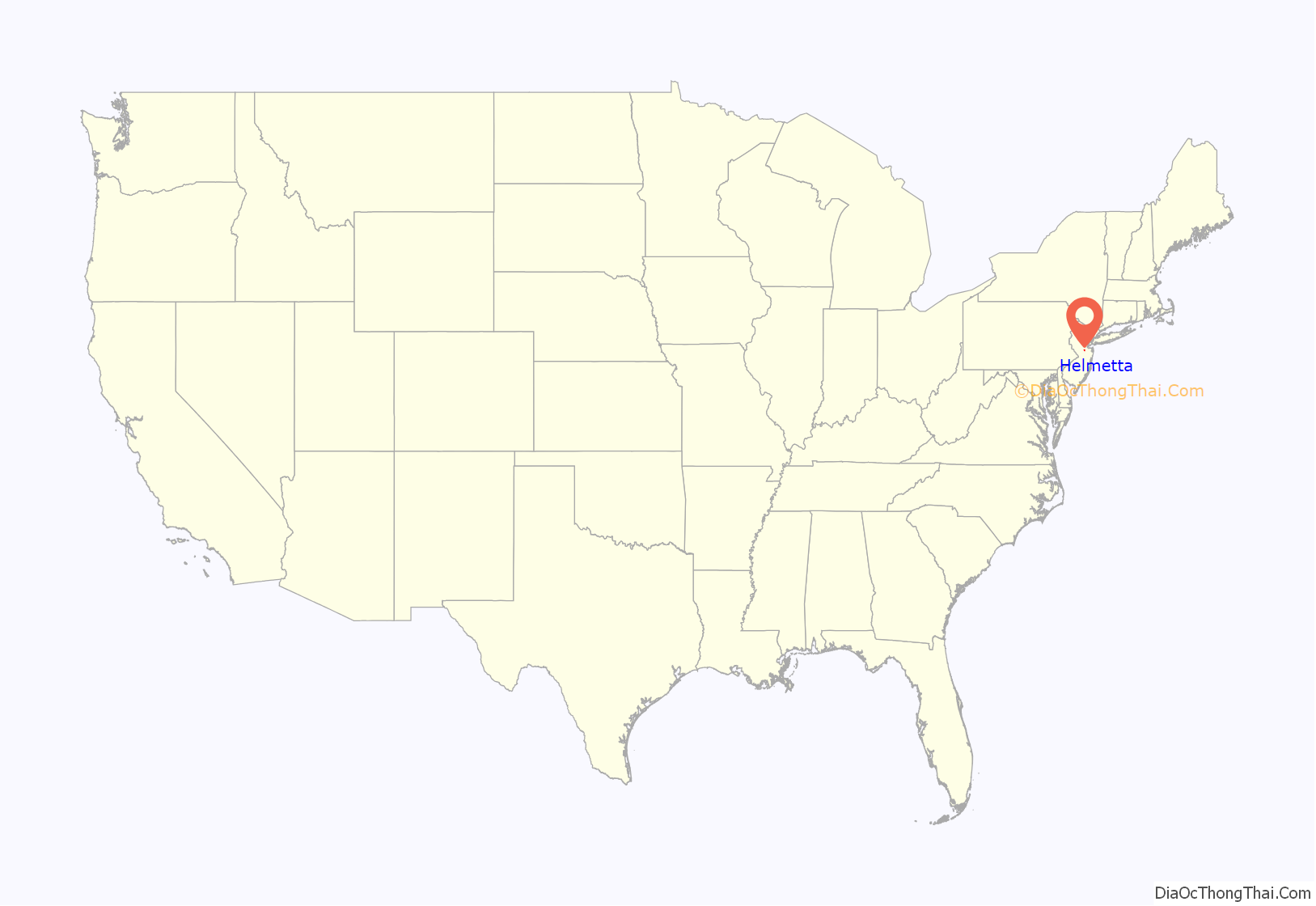
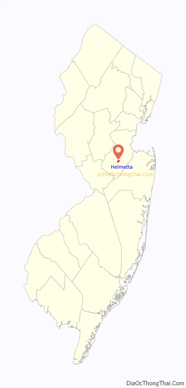
Helmetta location map. Where is Helmetta borough?
History
G. W. Helme Snuff Mill District
Helmetta’s main landmark is the large, abandoned Helme Products Inc. plant that sits adjacent to the Camden and Amboy Railroad line running through the borough. The mill began producing snuff in the 1880s. On February 23, 1900, the mill was bought by the American-Sniff Company in a merger with Helme Products Inc., but the merger was dissolved in 1911. In 1925, the mill became the largest of its kind in the world, and by 1934 it employed 400 people. In 1986, the mill was bought out by American Maize-Products. Finally, in 1993, it was purchased by Swisher International, and operations were moved to Wheeling, West Virginia. It has remained inactive since.
The G. W. Helme Snuff Mill District is a classic example of a late 1800s mill town. The district consists of the George Washington Helme snuff mill, housing for employees, accessory buildings, St. George’s Episcopal Church, Holy Trinity Roman Catholic Church, and Helmetta Pond, which at one time served as a source of power for the mill. About 115 buildings were originally in the district, which was named to the New Jersey Register of Historic Places on February 1, 1980, and to the National Register of Historic Places listings in Middlesex County, New Jersey, on August 15, 1980.
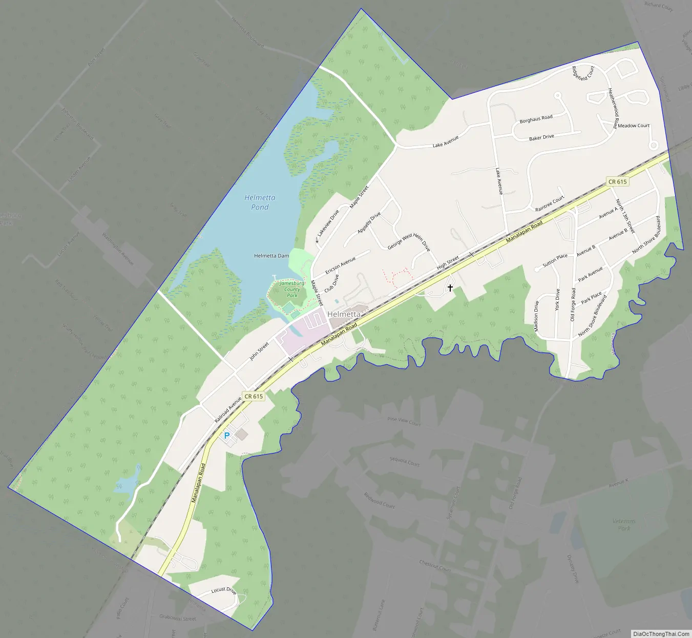
Helmetta Road Map
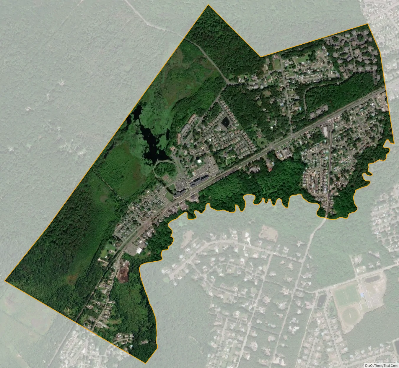
Helmetta city Satellite Map
Geography
According to the United States Census Bureau, the borough had a total area of 0.88 square miles (2.27 km), including 0.83 square miles (2.15 km) of land and 0.05 square miles (0.13 km) of water (5.57%).
The borough borders the Middlesex County municipalities of East Brunswick, Monroe Township and Spotswood.
See also
Map of New Jersey State and its subdivision: Map of other states:- Alabama
- Alaska
- Arizona
- Arkansas
- California
- Colorado
- Connecticut
- Delaware
- District of Columbia
- Florida
- Georgia
- Hawaii
- Idaho
- Illinois
- Indiana
- Iowa
- Kansas
- Kentucky
- Louisiana
- Maine
- Maryland
- Massachusetts
- Michigan
- Minnesota
- Mississippi
- Missouri
- Montana
- Nebraska
- Nevada
- New Hampshire
- New Jersey
- New Mexico
- New York
- North Carolina
- North Dakota
- Ohio
- Oklahoma
- Oregon
- Pennsylvania
- Rhode Island
- South Carolina
- South Dakota
- Tennessee
- Texas
- Utah
- Vermont
- Virginia
- Washington
- West Virginia
- Wisconsin
- Wyoming


