High Bridge is a borough in Hunterdon County, in the U.S. state of New Jersey. As of the 2020 United States census, the borough’s population was 3,546, a decrease of 102 (−2.8%) from the 2010 census count of 3,648, which in turn reflected a decline of 128 (−3.4%) from the 3,776 counted in the 2000 census.
| Name: | High Bridge borough |
|---|---|
| LSAD Code: | 21 |
| LSAD Description: | borough (suffix) |
| State: | New Jersey |
| County: | Hunterdon County |
| Incorporated: | March 29, 1871 (as township) |
| Elevation: | 295 ft (90 m) |
| Total Area: | 2.43 sq mi (6.30 km²) |
| Land Area: | 2.39 sq mi (6.19 km²) |
| Water Area: | 0.04 sq mi (0.10 km²) 1.65% |
| Total Population: | 3,546 |
| Population Density: | 1,482.9/sq mi (572.6/km²) |
| ZIP code: | 08829 |
| Area code: | 908 Exchanges: 617, 638 |
| FIPS code: | 3431320 |
| GNISfeature ID: | 0885251 |
| Website: | www.highbridge.org |
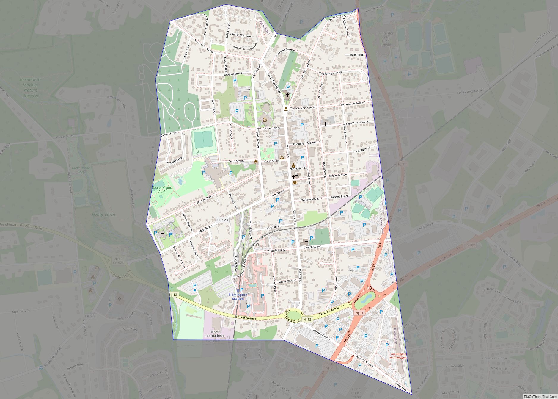
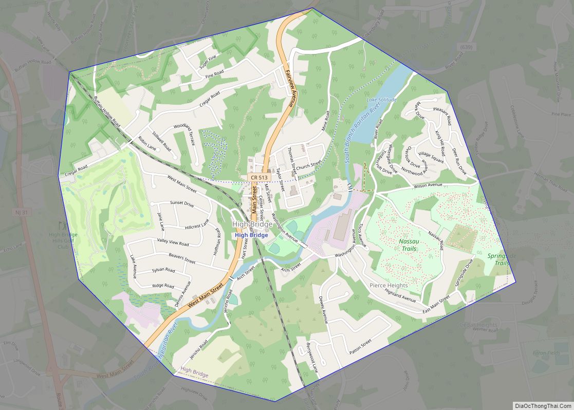
Online Interactive Map
Click on ![]() to view map in "full screen" mode.
to view map in "full screen" mode.
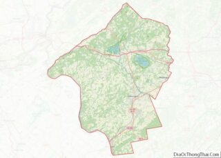
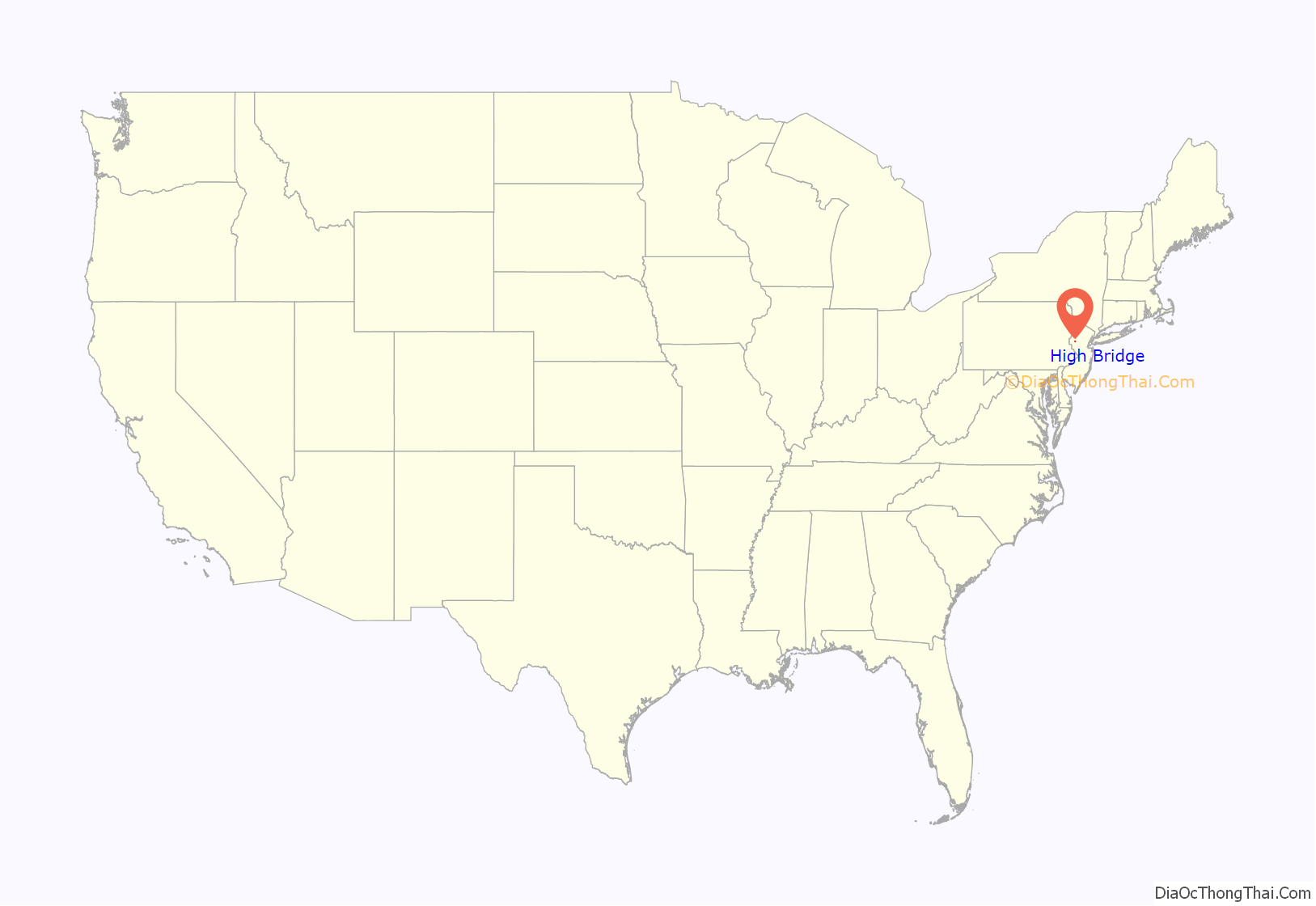
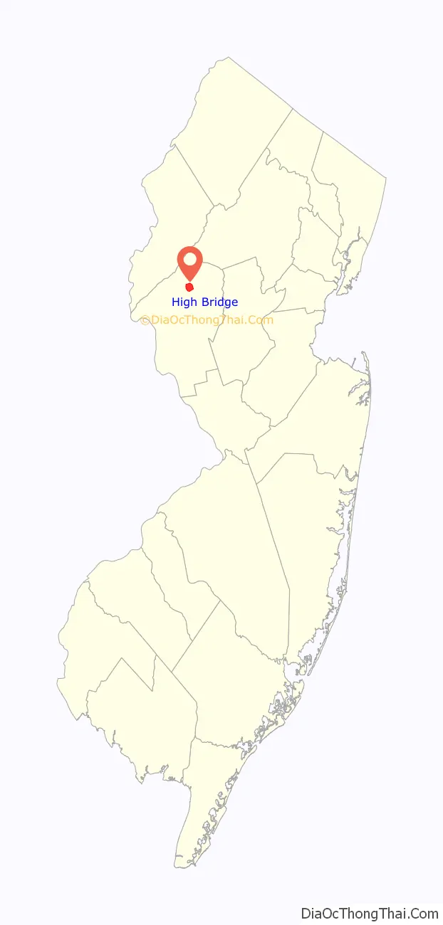
High Bridge location map. Where is High Bridge borough?
History
High Bridge was originally incorporated as a township by an act of the New Jersey Legislature on March 29, 1871, from portions of Clinton Township and Lebanon Township. On February 19, 1898, the borough of High Bridge was incorporated from portions of the township, with the remainder returned to Clinton and Lebanon Townships five days later.
The borough is located on the South Branch of the Raritan River in the north central part of Hunterdon County. Water from the South Branch was a valuable power source for one of the first ironworks in the United States, established in the 1740s by William Allen and Joseph Turner of Philadelphia. Allen was the mayor of Philadelphia, a Chief Justice of Pennsylvania, and a prominent landowner in New Jersey. In 1859, the Central Railroad of New Jersey began a five-year construction project of a 112-foot-high (34 m), 1,300-foot-long (400 m) bridge across the river from which structure the locality ultimately took its name.
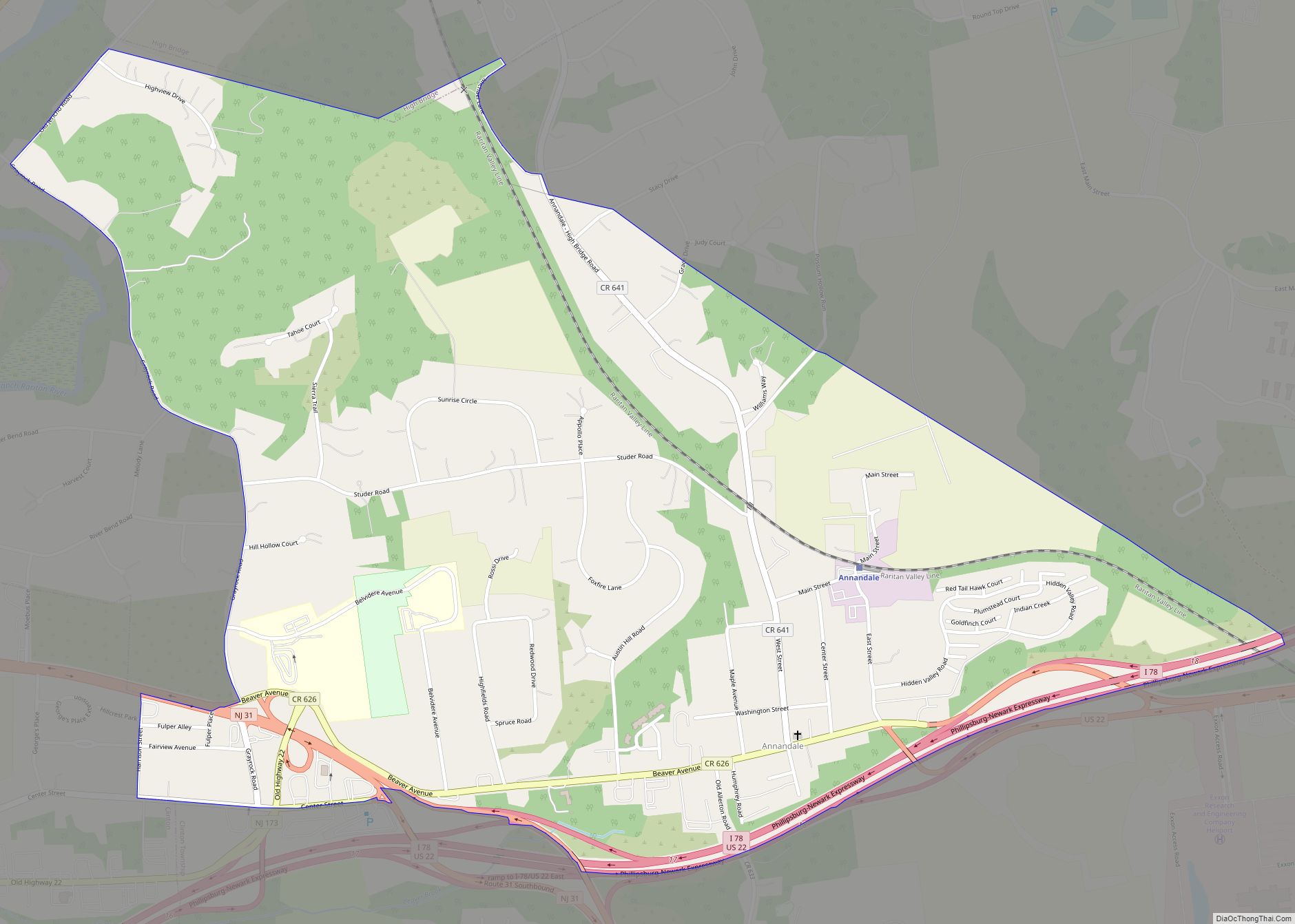
High Bridge Road Map
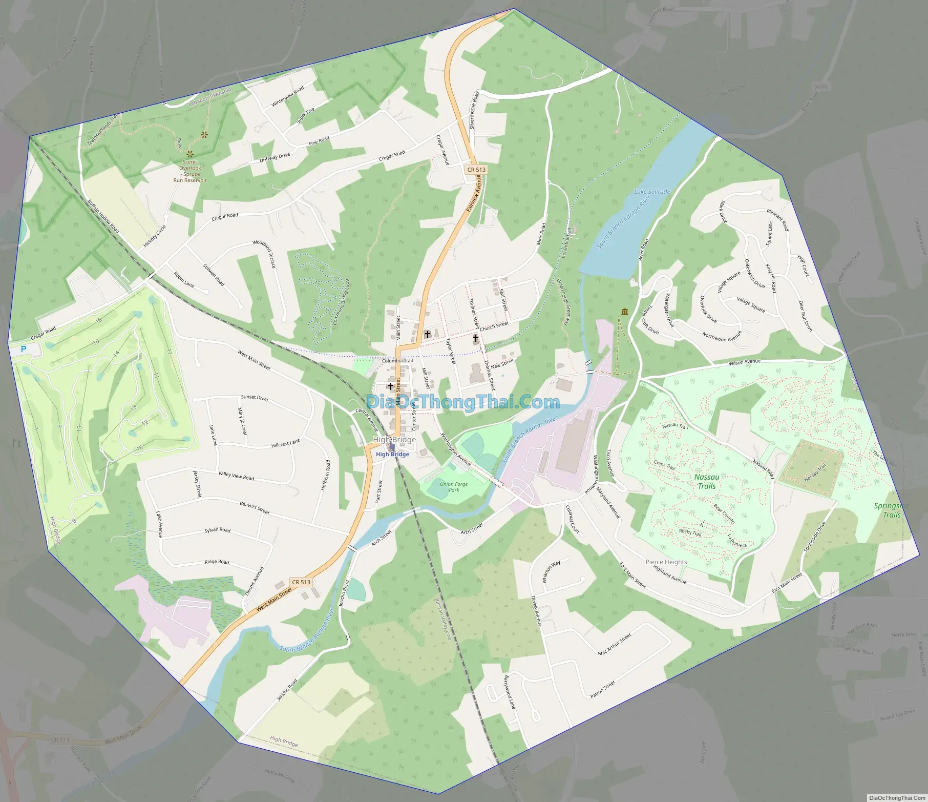
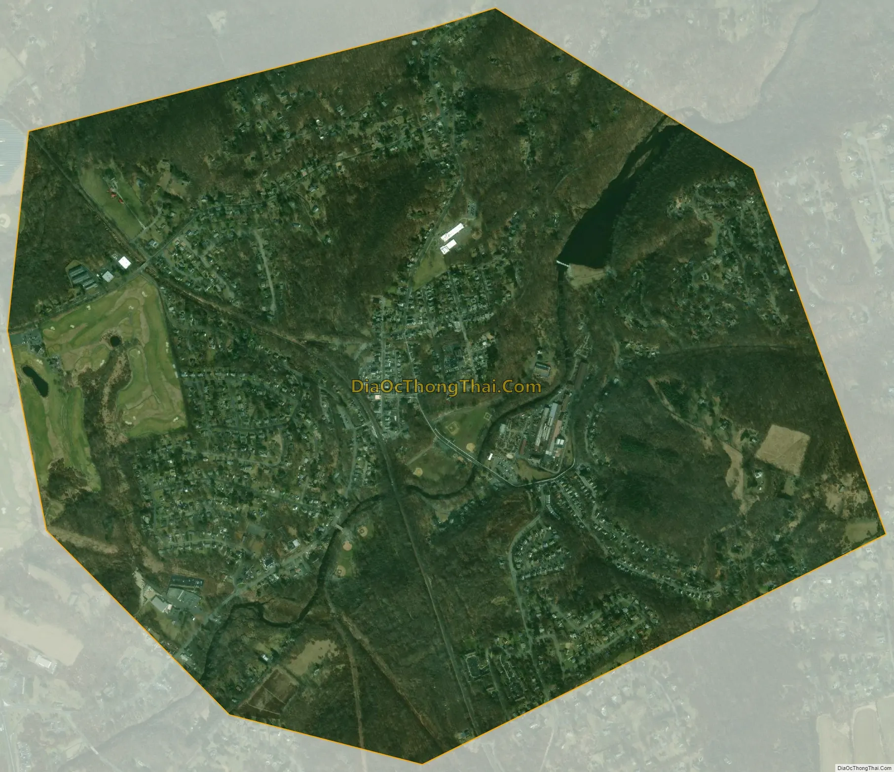
High Bridge city Satellite Map
Geography
According to the United States Census Bureau, the borough had a total area of 2.43 square miles (6.30 km), including 2.39 square miles (6.19 km) of land and 0.04 square miles (0.10 km) of water (1.65%). It is drained by the South Branch of the Raritan River.
High Bridge borders the Hunterdon County municipalities of Clinton Township and Lebanon Township.
Unincorporated communities, localities and place names located partially or completely within the township include Jericho Hill, Pierce Heights and Silverthorn.
Climate
See also
Map of New Jersey State and its subdivision: Map of other states:- Alabama
- Alaska
- Arizona
- Arkansas
- California
- Colorado
- Connecticut
- Delaware
- District of Columbia
- Florida
- Georgia
- Hawaii
- Idaho
- Illinois
- Indiana
- Iowa
- Kansas
- Kentucky
- Louisiana
- Maine
- Maryland
- Massachusetts
- Michigan
- Minnesota
- Mississippi
- Missouri
- Montana
- Nebraska
- Nevada
- New Hampshire
- New Jersey
- New Mexico
- New York
- North Carolina
- North Dakota
- Ohio
- Oklahoma
- Oregon
- Pennsylvania
- Rhode Island
- South Carolina
- South Dakota
- Tennessee
- Texas
- Utah
- Vermont
- Virginia
- Washington
- West Virginia
- Wisconsin
- Wyoming