Laurel Springs is a borough in Camden County, in the U.S. state of New Jersey. As of the 2020 United States census, the borough’s population was 1,978, an increase of 70 (+3.7%) from the 2010 census count of 1,908, which in turn reflected a decline of 62 (−3.1%) from the 1,970 counted in the 2000 census.
Laurel Springs was incorporated as a borough by an act of the New Jersey Legislature on April 2, 1913, from portions of Clementon Township, based on the results of a referendum held on May 1, 1913. The borough was named for its therapeutic springs situated in laurel groves.
In 2021, the borough had the 11th-highest property tax rate in New Jersey, with an equalized rate of 4.803% in 2020, compared to 3.470% in the county as a whole and a statewide average of 2.279%.
| Name: | Laurel Springs borough |
|---|---|
| LSAD Code: | 21 |
| LSAD Description: | borough (suffix) |
| State: | New Jersey |
| County: | Camden County |
| Incorporated: | April 2, 1913 |
| Elevation: | 85 ft (26 m) |
| Total Area: | 0.46 sq mi (1.19 km²) |
| Land Area: | 0.45 sq mi (1.17 km²) |
| Water Area: | 0.01 sq mi (0.02 km²) 2.17% |
| Total Population: | 1,978 |
| Population Density: | 4,381.5/sq mi (1,691.7/km²) |
| ZIP code: | 08021 – Clementon |
| Area code: | 609 and 856 |
| FIPS code: | 3439210 |
| GNISfeature ID: | 0885272 |
| Website: | www.laurelsprings-nj.com |
Online Interactive Map
Click on ![]() to view map in "full screen" mode.
to view map in "full screen" mode.
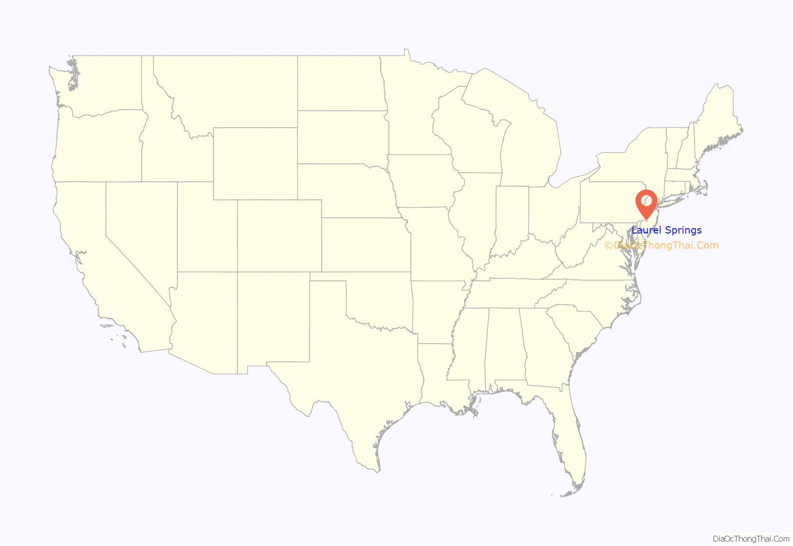
Laurel Springs location map. Where is Laurel Springs borough?
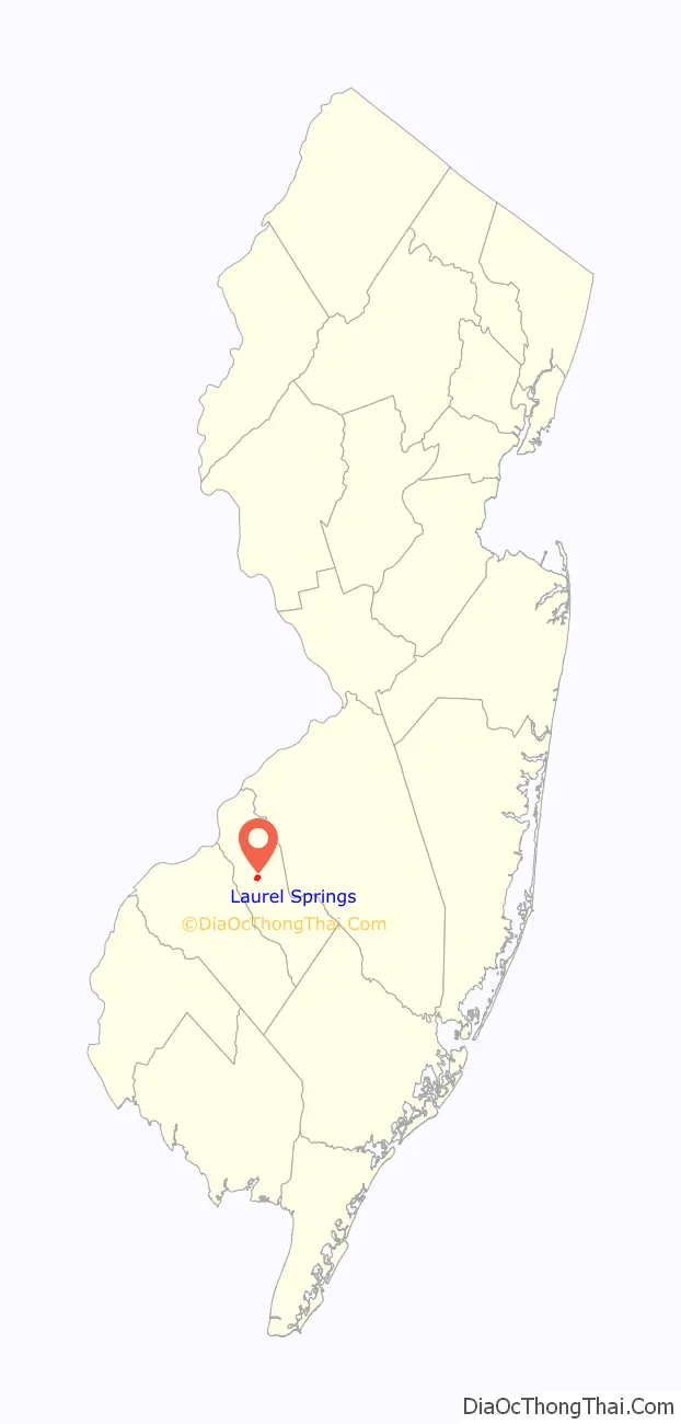
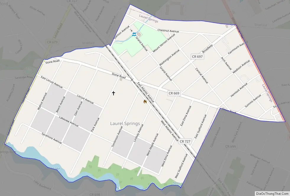
Laurel Springs Road Map
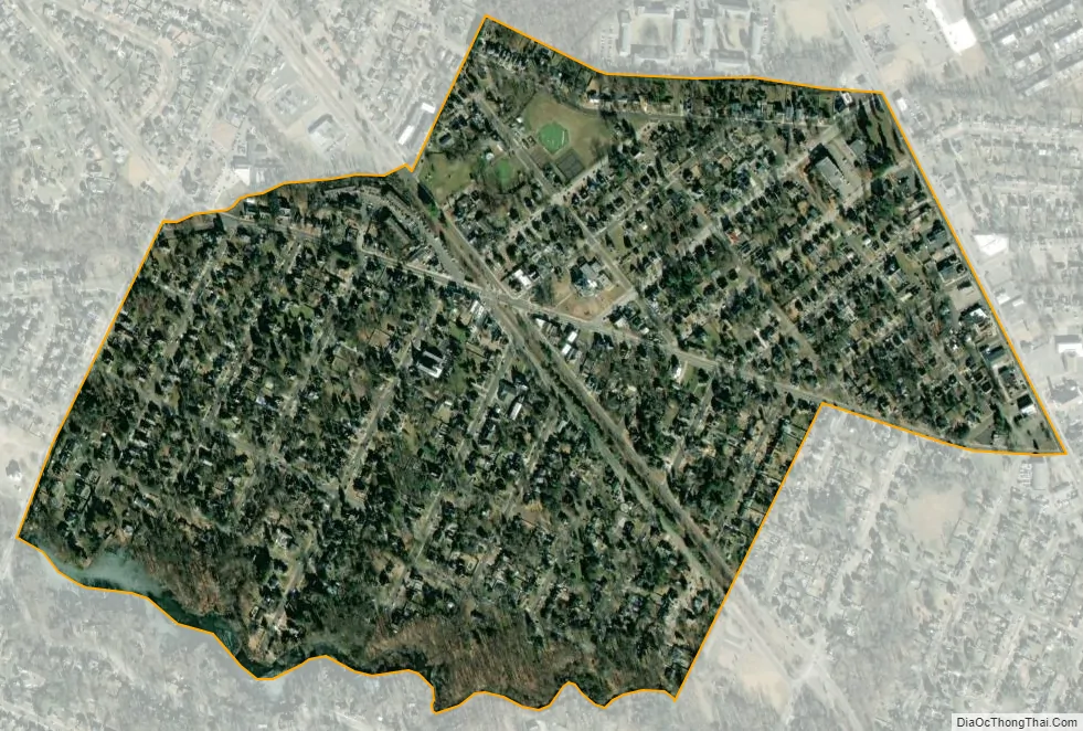
Laurel Springs city Satellite Map
Geography
According to the United States Census Bureau, the borough had a total area of 0.46 square miles (1.19 km), including 0.45 square miles (1.17 km) of land and 0.01 square miles (0.02 km) of water (2.17%).
Unincorporated communities, localities and place names located partially or completely within the township include Watsontown.
Laurel Springs borders the Camden County municipalities of Lindenwold and Stratford.
See also
Map of New Jersey State and its subdivision: Map of other states:- Alabama
- Alaska
- Arizona
- Arkansas
- California
- Colorado
- Connecticut
- Delaware
- District of Columbia
- Florida
- Georgia
- Hawaii
- Idaho
- Illinois
- Indiana
- Iowa
- Kansas
- Kentucky
- Louisiana
- Maine
- Maryland
- Massachusetts
- Michigan
- Minnesota
- Mississippi
- Missouri
- Montana
- Nebraska
- Nevada
- New Hampshire
- New Jersey
- New Mexico
- New York
- North Carolina
- North Dakota
- Ohio
- Oklahoma
- Oregon
- Pennsylvania
- Rhode Island
- South Carolina
- South Dakota
- Tennessee
- Texas
- Utah
- Vermont
- Virginia
- Washington
- West Virginia
- Wisconsin
- Wyoming


