Stratford is a borough in Camden County, in the U.S. state of New Jersey. As of the 2020 United States census, the borough’s population was 6,981, a decrease of 59 (−0.8%) from the 2010 census count of 7,040, which in turn reflected a decline of 231 (−3.2%) from the 7,271 counted in the 2000 census. Rowan-Virtua School of Osteopathic Medicine is located in Stratford.
Stratford was created on February 13, 1925, from portions of Clementon Township, one of seven municipalities created from the now-defunct township. The borough was named for Stratford-upon-Avon, England, by the owners of the Rural Land Improvement Company that developed the area in the 1880s.
| Name: | Stratford borough |
|---|---|
| LSAD Code: | 21 |
| LSAD Description: | borough (suffix) |
| State: | New Jersey |
| County: | Camden County |
| Incorporated: | February 13, 1925 |
| Elevation: | 79 ft (24 m) |
| Total Area: | 1.57 sq mi (4.07 km²) |
| Land Area: | 1.57 sq mi (4.07 km²) |
| Water Area: | 0.00 sq mi (0.00 km²) 0.00% |
| Total Population: | 6,981 |
| Population Density: | 4,446.5/sq mi (1,716.8/km²) |
| ZIP code: | 08084 |
| Area code: | 856 |
| FIPS code: | 3471220 |
| GNISfeature ID: | 0885411 |
| Website: | www.stratfordnj.org |
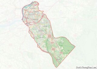
Online Interactive Map
Click on ![]() to view map in "full screen" mode.
to view map in "full screen" mode.
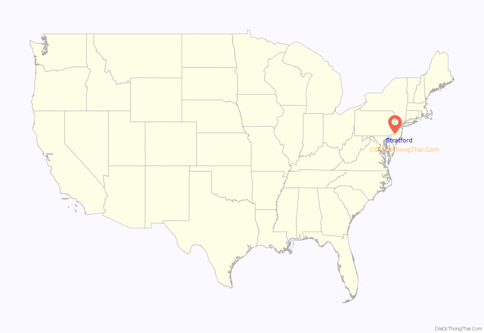
Stratford location map. Where is Stratford borough?
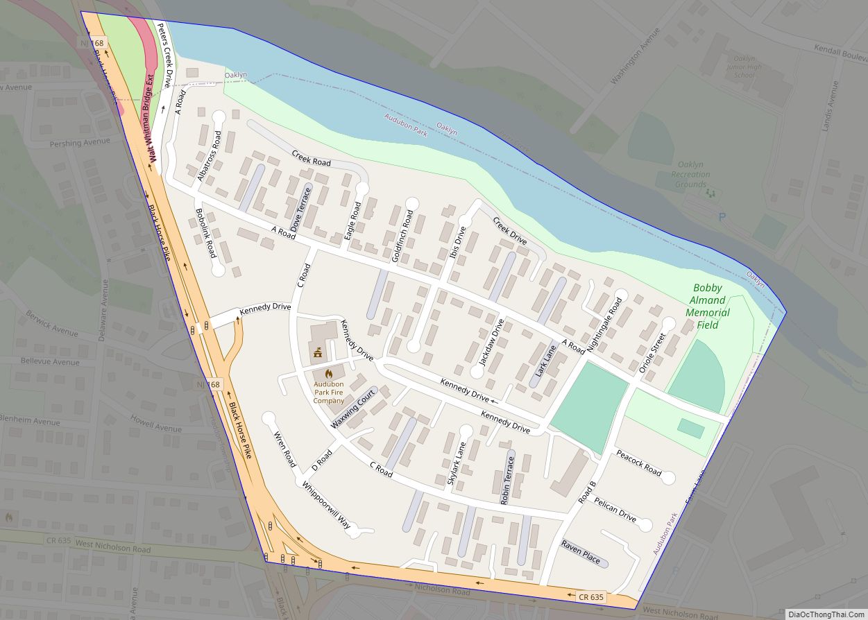
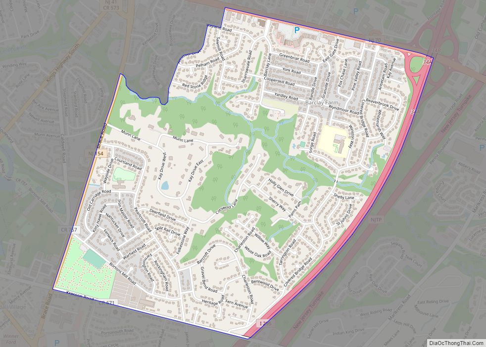
Stratford Road Map
Stratford city Satellite Map
Geography
According to the U.S. Census Bureau, the borough had a total area of 1.57 square miles (4.07 km), all of which was land.
The borough borders Gloucester Township (north and east), Hi-Nella (north), Laurel Springs (south), Lindenwold (south and west), and Somerdale (west).
See also
Map of New Jersey State and its subdivision: Map of other states:- Alabama
- Alaska
- Arizona
- Arkansas
- California
- Colorado
- Connecticut
- Delaware
- District of Columbia
- Florida
- Georgia
- Hawaii
- Idaho
- Illinois
- Indiana
- Iowa
- Kansas
- Kentucky
- Louisiana
- Maine
- Maryland
- Massachusetts
- Michigan
- Minnesota
- Mississippi
- Missouri
- Montana
- Nebraska
- Nevada
- New Hampshire
- New Jersey
- New Mexico
- New York
- North Carolina
- North Dakota
- Ohio
- Oklahoma
- Oregon
- Pennsylvania
- Rhode Island
- South Carolina
- South Dakota
- Tennessee
- Texas
- Utah
- Vermont
- Virginia
- Washington
- West Virginia
- Wisconsin
- Wyoming
