Lincoln Park is a borough in Morris County, in the U.S. state of New Jersey. As of the 2020 United States census, the borough’s population was 10,915, an increase of 394 (+3.7%) from the 2010 census count of 10,521, which in turn reflected a decline of 409 (−3.7%) from the 10,930 counted in the 2000 census.
Lincoln Park was incorporated as a borough by an act of the New Jersey Legislature on March 11, 1922, from portions of Pequannock Township. The borough was reincorporated on February 26, 1925. The borough was named for President Abraham Lincoln. The borough is situated in the easternmost part of Morris County bordering both Essex and Passaic counties along the Passaic and Pompton rivers.
New Jersey Monthly magazine ranked Lincoln Park as its 5th best place to live in its 2008 rankings of the “Best Places To Live” in the state.
| Name: | Lincoln Park borough |
|---|---|
| LSAD Code: | 21 |
| LSAD Description: | borough (suffix) |
| State: | New Jersey |
| County: | Morris County |
| Incorporated: | March 11, 1922 |
| Elevation: | 180 ft (50 m) |
| Total Area: | 6.92 sq mi (17.92 km²) |
| Land Area: | 6.40 sq mi (16.57 km²) |
| Water Area: | 0.52 sq mi (1.35 km²) 7.47% |
| Total Population: | 10,915 |
| Population Density: | 1,706.0/sq mi (658.7/km²) |
| ZIP code: | 07035 |
| Area code: | 973 |
| FIPS code: | 3440290 |
| GNISfeature ID: | 0885277 |
| Website: | www.lincolnpark.org |
Online Interactive Map
Click on ![]() to view map in "full screen" mode.
to view map in "full screen" mode.
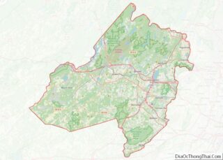
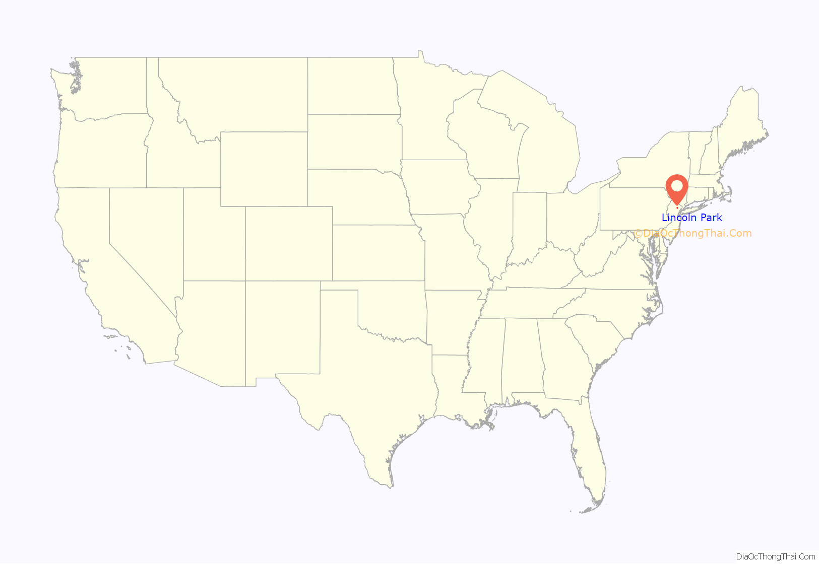
Lincoln Park location map. Where is Lincoln Park borough?
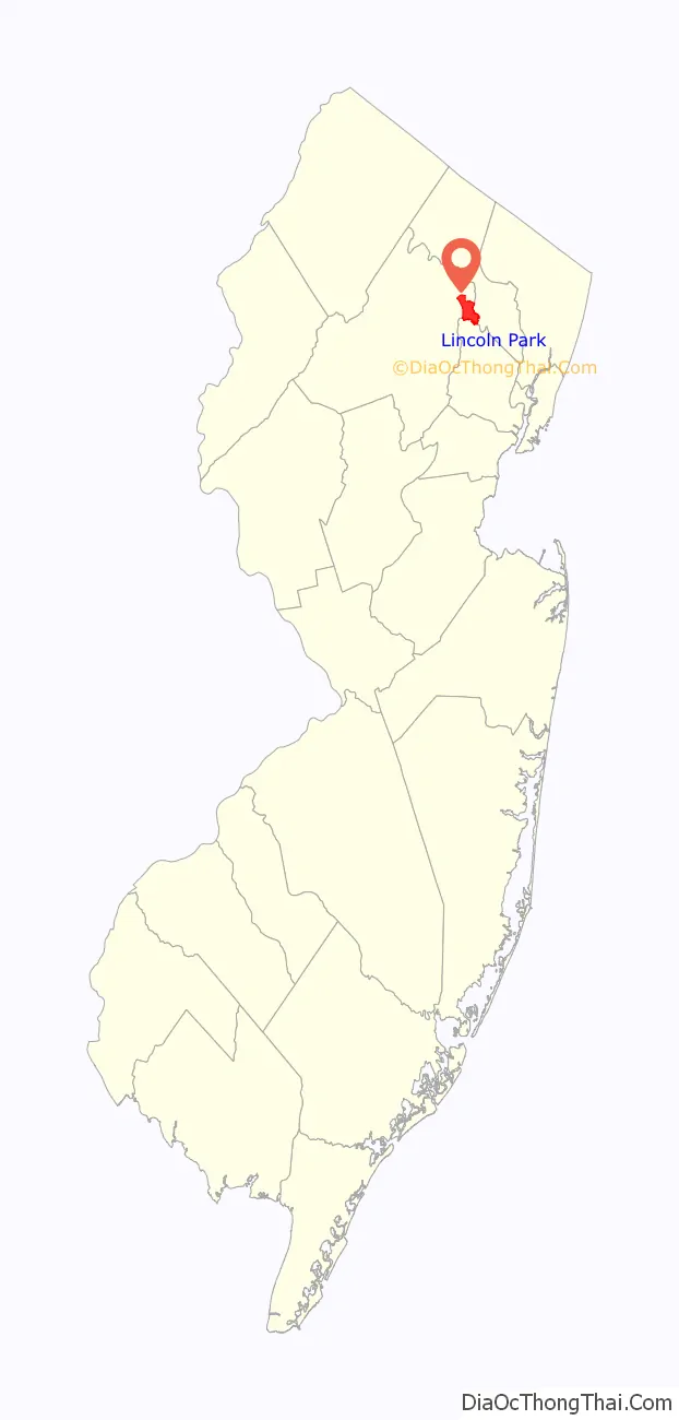
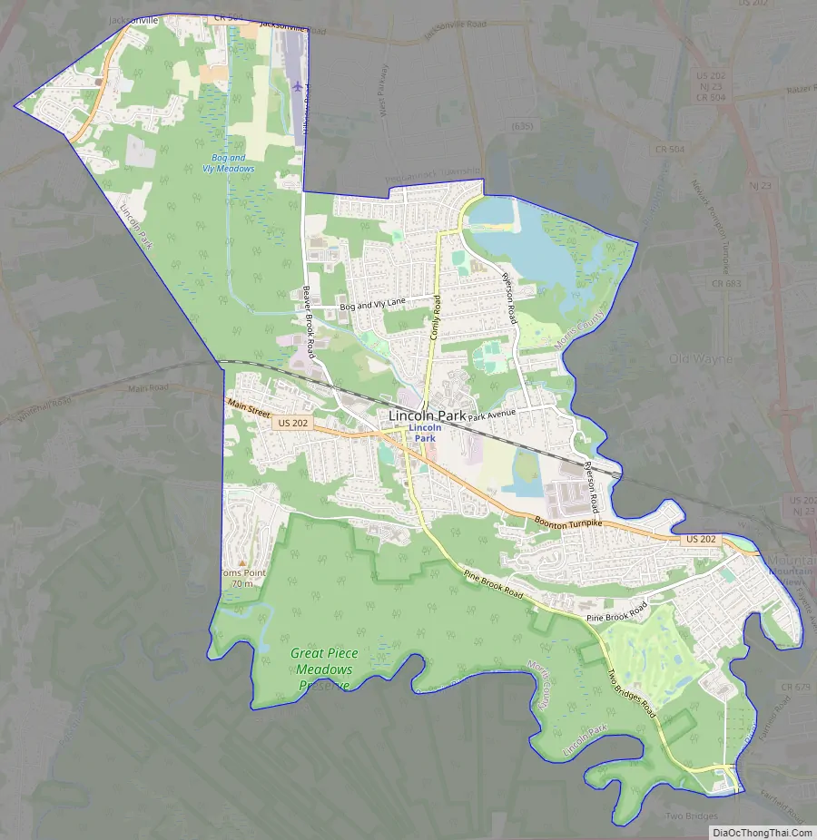
Lincoln Park Road Map
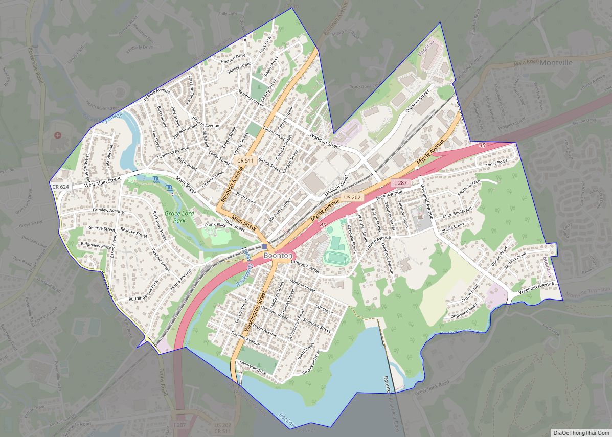
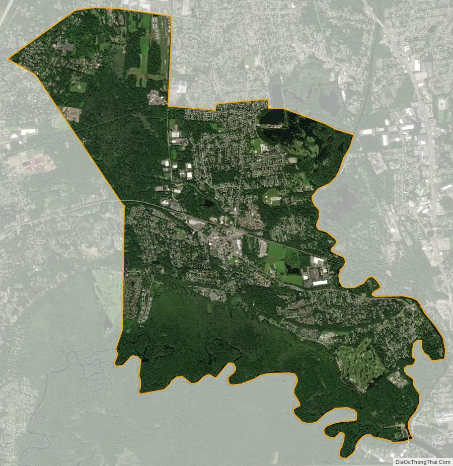
Lincoln Park city Satellite Map
Geography
Lincoln Park contains the easternmost point in Morris County, which is located along the Pompton River.
According to the United States Census Bureau, the borough had a total area of 6.91 square miles (17.91 km), including 6.40 square miles (16.57 km) of land and 0.52 square miles (1.34 km) of water (7.47%).
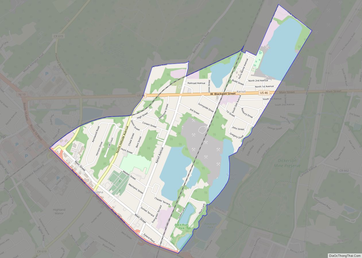
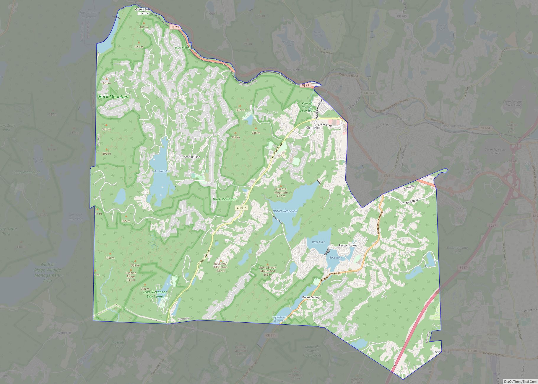
The borough borders Kinnelon, Montville, and Pequannock Township in Morris County; Fairfield Township in Essex County; and Wayne in Passaic County.
See also
Map of New Jersey State and its subdivision: Map of other states:- Alabama
- Alaska
- Arizona
- Arkansas
- California
- Colorado
- Connecticut
- Delaware
- District of Columbia
- Florida
- Georgia
- Hawaii
- Idaho
- Illinois
- Indiana
- Iowa
- Kansas
- Kentucky
- Louisiana
- Maine
- Maryland
- Massachusetts
- Michigan
- Minnesota
- Mississippi
- Missouri
- Montana
- Nebraska
- Nevada
- New Hampshire
- New Jersey
- New Mexico
- New York
- North Carolina
- North Dakota
- Ohio
- Oklahoma
- Oregon
- Pennsylvania
- Rhode Island
- South Carolina
- South Dakota
- Tennessee
- Texas
- Utah
- Vermont
- Virginia
- Washington
- West Virginia
- Wisconsin
- Wyoming