Long Valley is an unincorporated community and census-designated place (CDP) located within Washington Township, in Morris County, New Jersey, United States. Once known as German Valley from its foundation during the colonial era, the community was renamed in response to anti-German sentiment during World War I. As of the 2010 United States Census, the CDP’s population was 1,879.
| Name: | Long Valley CDP |
|---|---|
| LSAD Code: | 57 |
| LSAD Description: | CDP (suffix) |
| State: | New Jersey |
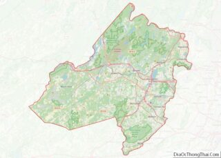
| County: | Morris County |
| Elevation: | 554 ft (169 m) |
| Total Area: | 4.62 sq mi (11.97 km²) |
| Land Area: | 4.57 sq mi (11.83 km²) |
| Water Area: | 0.06 sq mi (0.15 km²) 1.24% |
| Total Population: | 1,827 |
| Population Density: | 400.13/sq mi (154.50/km²) |
| ZIP code: | 07853 |
| Area code: | 908 |
| FIPS code: | 3441400 |
| GNISfeature ID: | 02390090 |
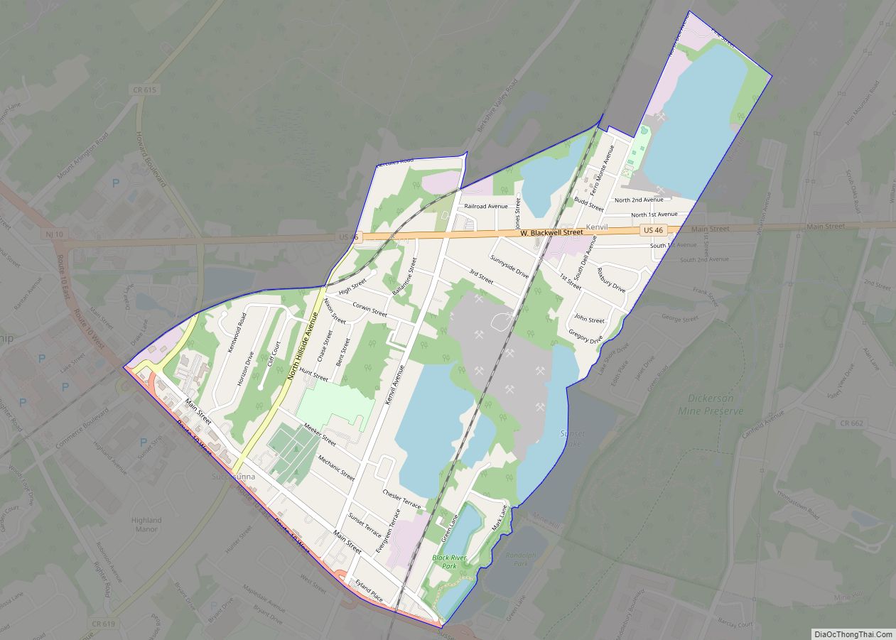
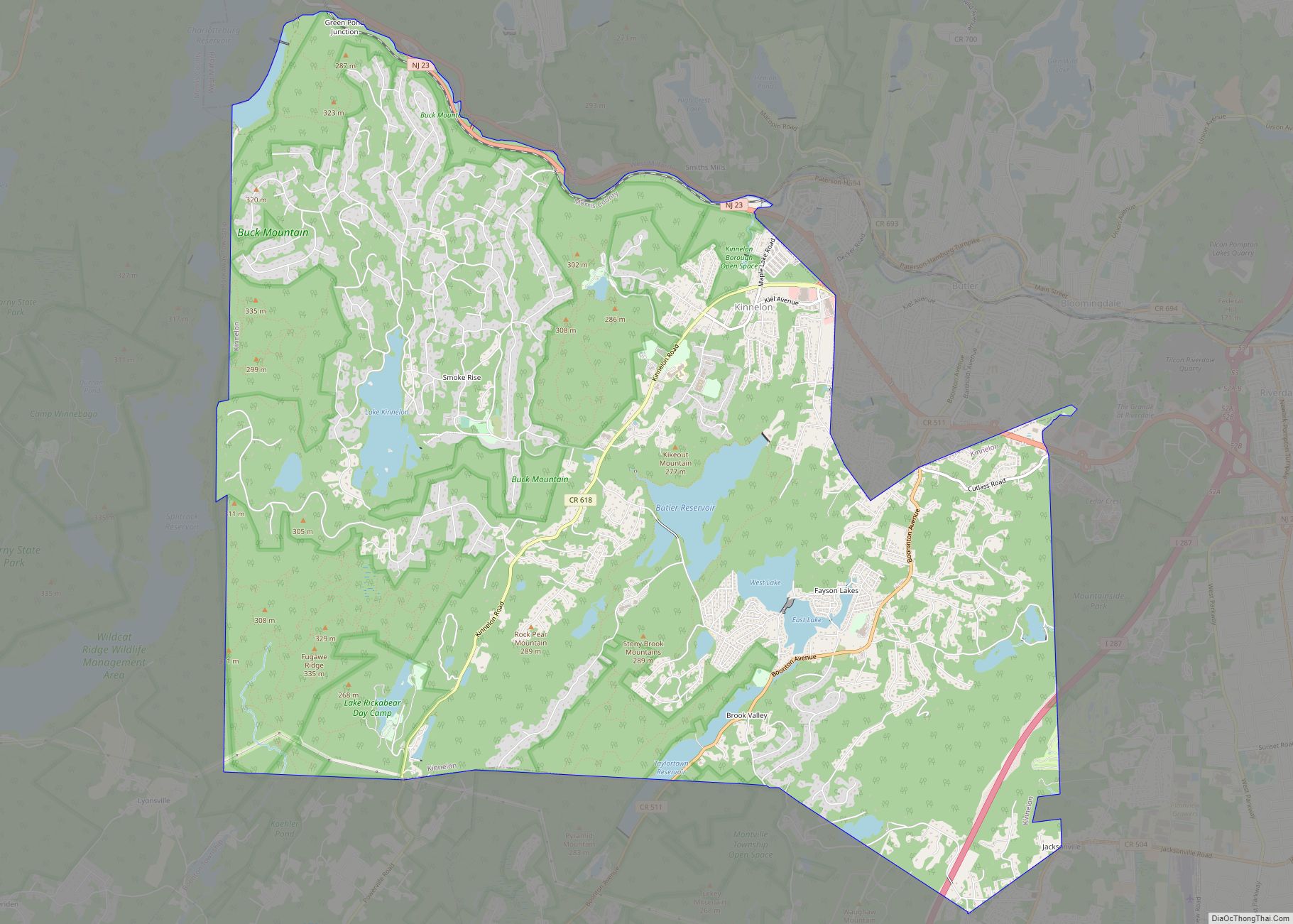
Online Interactive Map
Click on ![]() to view map in "full screen" mode.
to view map in "full screen" mode.
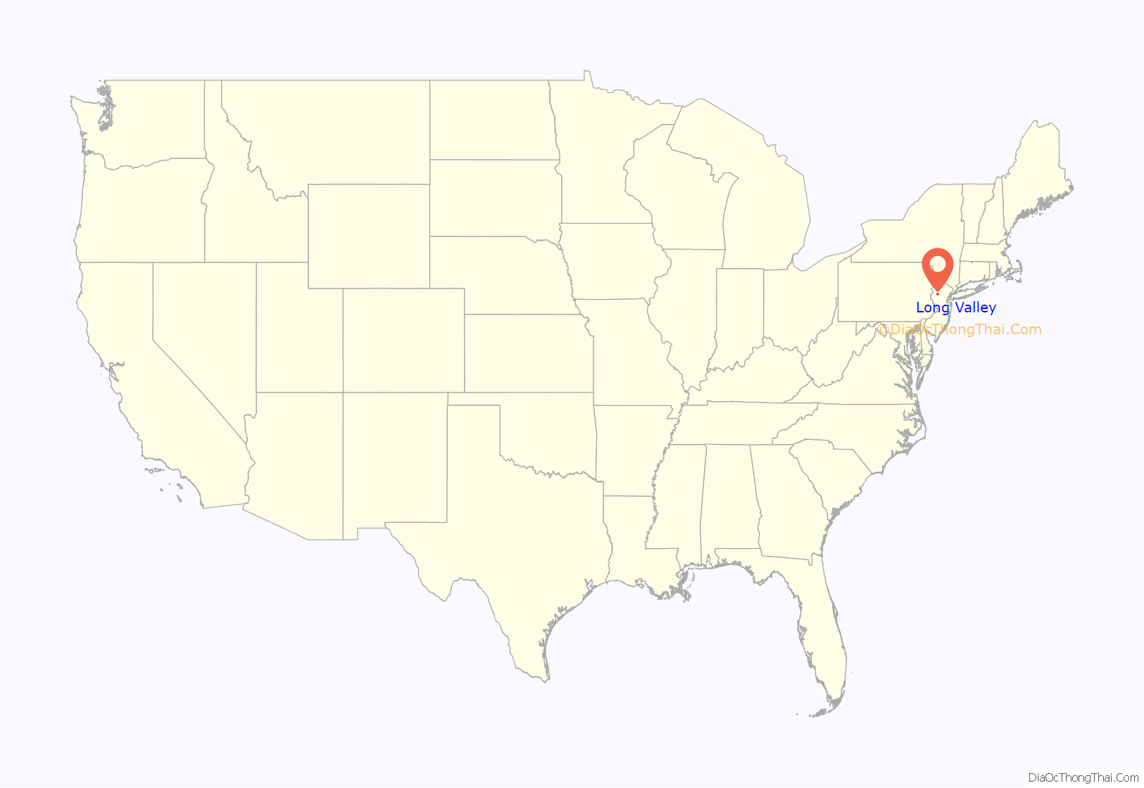
Long Valley location map. Where is Long Valley CDP?
History
In 1705, a number of German Reformed, residing between Wolfenbüttel and Halberstadt, fled to Neuwied, a town of Rhenish Prussia, where they remained for two years before proceeding on to Holland. In 1707, they embarked for the British colony of New York. Before arriving, their ship was blown off-course to the south, where they were carried into the Delaware Bay and landed in Philadelphia. From there, they embarked by land eastward to what became known as the “German Valley” in what was then called “Nova Caesaria” (New Jersey), located in today’s Morris County, New Jersey.
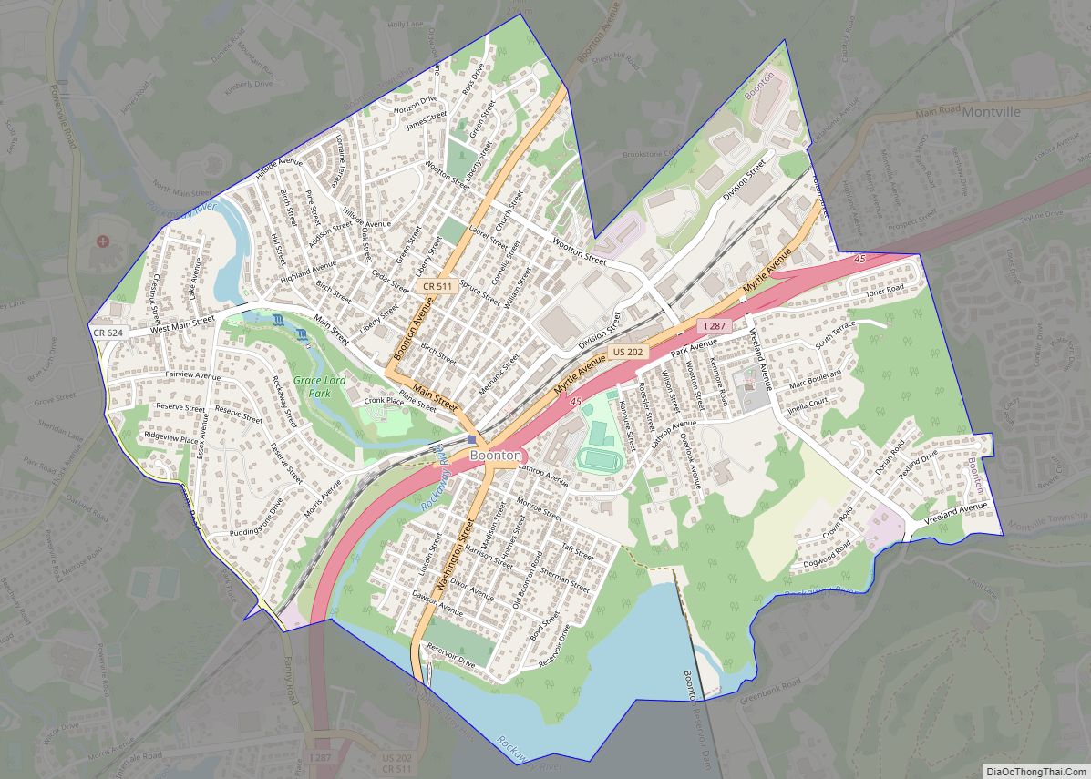
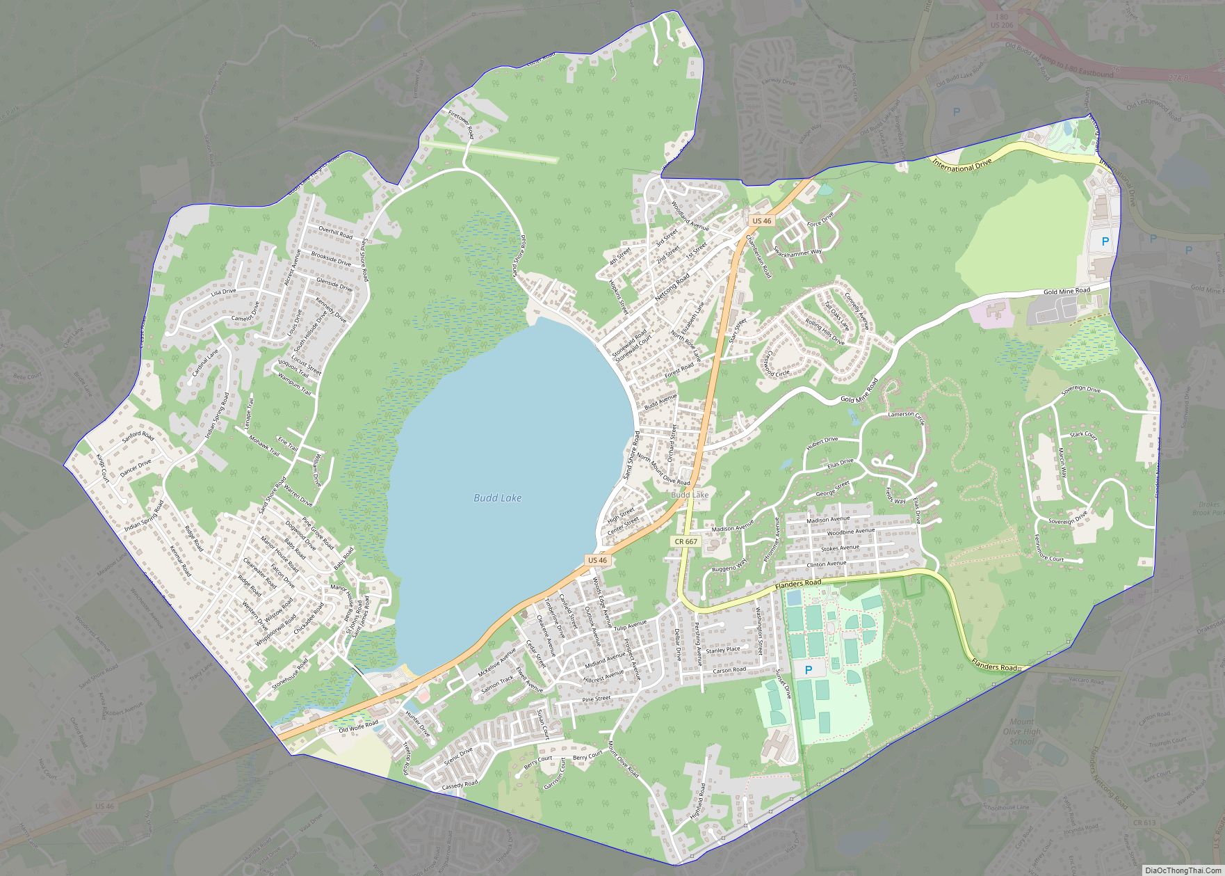
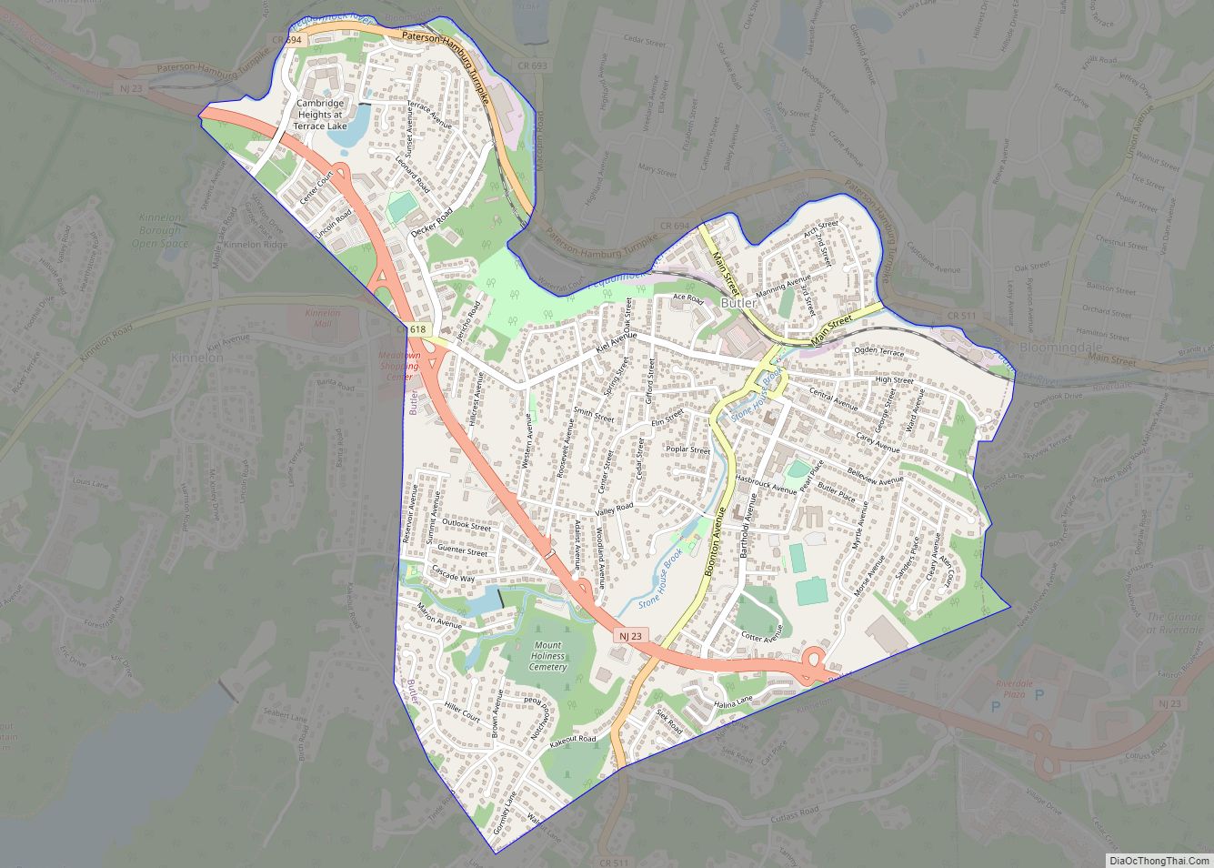
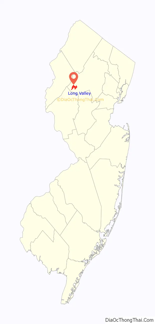
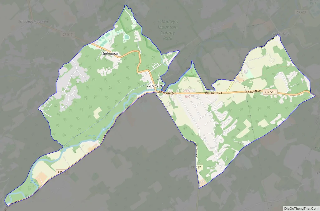
Long Valley Road Map
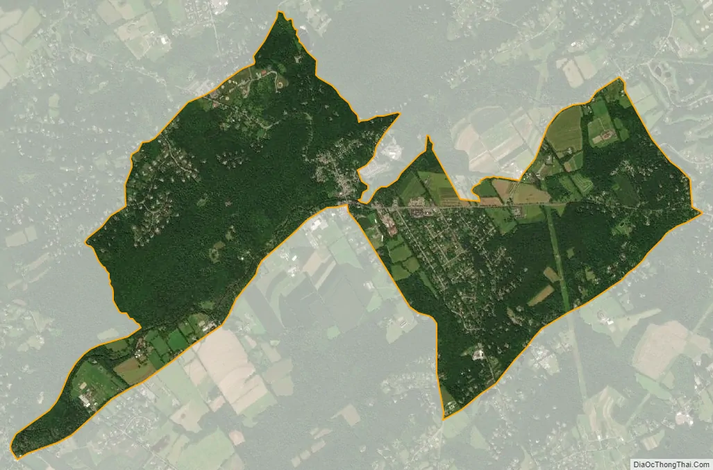
Long Valley city Satellite Map
Geography
According to the United States Census Bureau, the CDP had a total area of 4.623 square miles (11.974 km), including 4.566 square miles (11.825 km) of land and 0.057 square miles (0.148 km) of water (1.24%).
There are several bodies of water, including several man-made lakes used for agriculture and a portion of the Raritan River that are not reflected in the calculation of water area.
The climate in this area is characterized by four distinct seasons and large seasonal temperature differences, with warm to hot (and often humid) summers and cold (sometimes severely cold in the northern areas) winters. According to the Köppen Climate Classification system, Long Valley has a humid continental climate, abbreviated “Dfa” on climate maps.
See also
Map of New Jersey State and its subdivision: Map of other states:- Alabama
- Alaska
- Arizona
- Arkansas
- California
- Colorado
- Connecticut
- Delaware
- District of Columbia
- Florida
- Georgia
- Hawaii
- Idaho
- Illinois
- Indiana
- Iowa
- Kansas
- Kentucky
- Louisiana
- Maine
- Maryland
- Massachusetts
- Michigan
- Minnesota
- Mississippi
- Missouri
- Montana
- Nebraska
- Nevada
- New Hampshire
- New Jersey
- New Mexico
- New York
- North Carolina
- North Dakota
- Ohio
- Oklahoma
- Oregon
- Pennsylvania
- Rhode Island
- South Carolina
- South Dakota
- Tennessee
- Texas
- Utah
- Vermont
- Virginia
- Washington
- West Virginia
- Wisconsin
- Wyoming