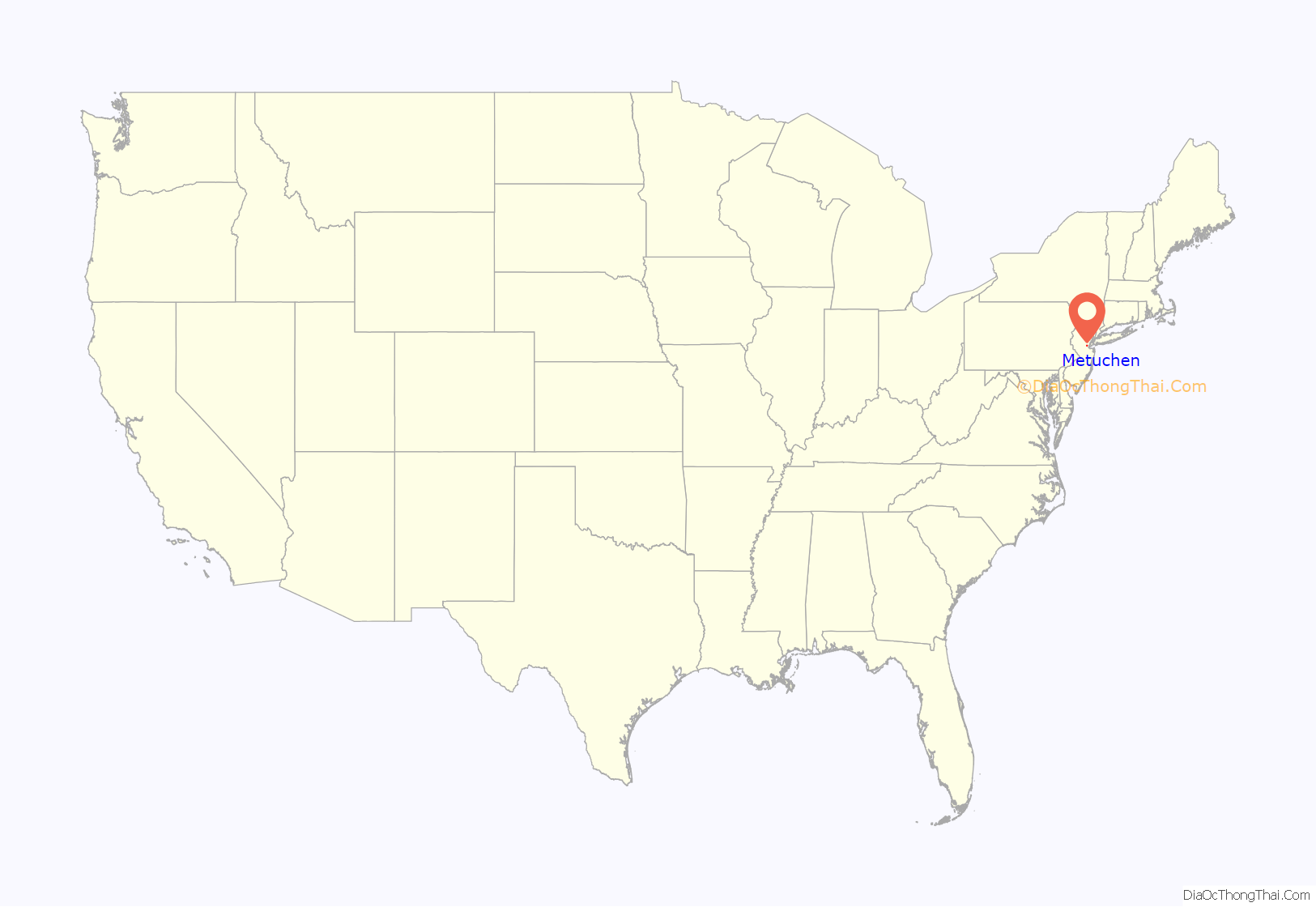
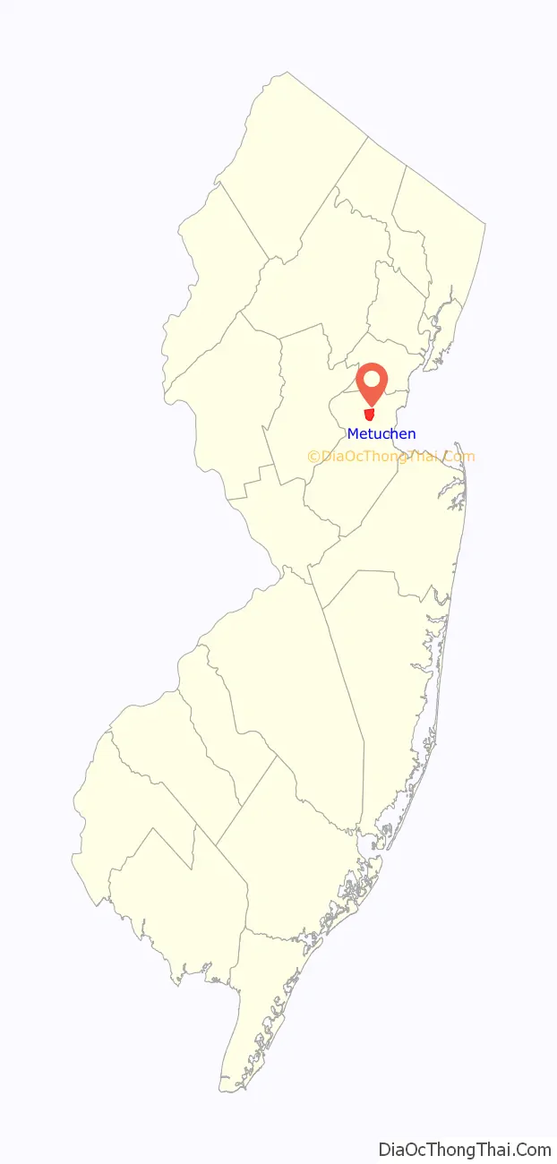
Metuchen (/məˈtʌtʃən/ mə-TUTCH-ən) is a suburban borough in Middlesex County in the U.S. state of New Jersey. The borough is a commuter town of New York City, located in the heart of the Raritan Valley region within the New York Metropolitan area. The borough, along with Edison (which completely surrounds Metuchen), is a regional commercial hub for Central New Jersey. The borough is 6 miles (9.7 km) northeast of New Brunswick, 17 miles (27 km) southwest of Newark, 20 miles (32 km) southwest of Jersey City, and 22 miles (35 km) southwest of Manhattan. As of the 2020 United States census, the borough’s population was 15,049, an increase of 1,475 (+10.9%) from the 2010 census count of 13,574, which in turn reflected an increase of 734 (+5.7%) from the 12,840 counted in the 2000 census.
Metuchen was incorporated as a borough by an act of the New Jersey Legislature on March 20, 1900, from portions of Raritan Township (now known as Edison). Downtown Metuchen won the honor of Great American Main Street of the Year in 2023.
| Name: | Metuchen borough |
|---|---|
| LSAD Code: | 21 |
| LSAD Description: | borough (suffix) |
| State: | New Jersey |
| County: | Middlesex County |
| Incorporated: | March 20, 1900 |
| Elevation: | 95 ft (29 m) |
| Total Area: | 2.84 sq mi (7.36 km²) |
| Land Area: | 2.84 sq mi (7.35 km²) |
| Water Area: | 0.00 sq mi (0.01 km²) 0.07% |
| Total Population: | 15,049 |
| Population Density: | 5,282.2/sq mi (2,039.5/km²) |
| ZIP code: | 08840 |
| Area code: | 732 |
| FIPS code: | 3445690 |
| GNISfeature ID: | 0885298 |
| Website: | www.metuchennj.org |
Online Interactive Map
Click on ![]() to view map in "full screen" mode.
to view map in "full screen" mode.
Metuchen location map. Where is Metuchen borough?
History
The earliest residents of the area were the Raritan people of the Lenape Native Americans, who lived in the area and travelled through it to the shore. In 1646, Chief Matouchin was part of a group that included 1,200 warriors.
Until 1870, what is now Metuchen was part of Woodbridge Township. Because the settlers in the western part of the township were so far removed from the main settlement of Woodbridge, they early-on developed a separate identity. The name “Metuchen” first appeared in 1688/1689, and its name was derived from the name of a Native American chief, known as Matouchin or Matochshegan. In 1701, an overseer of roads was appointed for “Metuchen district”. In 1705, Main Street was laid out at the same time as the road from Metuchen to Woodbridge, which one source calls a “reworking of the original road”.
Sometime between 1717 and 1730, a meeting house was constructed for weekday meetings conducted by the pastor of the Woodbridge Presbyterian Church. In 1756, Metuchen Presbyterians succeeded in forming their own congregation, attesting to their growing numbers. In 1770, the congregations merged, with Metuchen getting 2/5 of the pastor’s services and Woodbridge 3/5; by 1772, Metuchen had grown sufficiently to warrant half of his time. In 1793, the two churches again separated.
From the late 18th to the early 19th century Metuchen grew little. A map of 1799 shows ten buildings in the center of town along Main Street. By 1834, a Presbyterian church, a store, two taverns and about a dozen dwellings could be found. The opening of the Middlesex and Essex Turnpike (now Middlesex Avenue, portions in concurrency with Route 27) in 1806, and the Perth Amboy and Bound Brook Turnpike in 1808 seem not to have spurred growth to any appreciable extent. Not until the beginning of the railroad era did commercial and residential development surge.
In 1836, the New Jersey Railroad was completed to New Brunswick. The construction of a station at Main Street made it inevitable that this would develop as the principal street. A business section soon began to appear between Middlesex Avenue and the railroad tracks, and commercial and service establishments gradually began to assume a more modern aspect (the typical 18th century tavern, for example, was replaced by the equally typical 19th century hotel).
The second half of the 19th century was a period of social, cultural and religious diversification in Metuchen. Between 1859 and 1866 the Reformed Church was organized, the first Catholic mass was celebrated and St. Luke’s Episcopal Church was founded. In 1870 both the Building and Loan Association and the library opened, the same year that Raritan Township was incorporated. As the largest village in the new township, Metuchen naturally became its commercial and cultural center and acquired substantial political control. In 1873, the town hosted Howard Newton Fuller and the Rutgers College Glee Club in the first-ever performance of their alma mater. In 1879, the literary and debating society was formed, and in 1883 the Village Improvement Society. By 1882, Metuchen School #15 had an enrollment of 256 pupils, and by 1885 the New Jersey Gazette listed 37 businesses.
The decade of the 1890s was a period of expansion for public utilities. In 1894, telegraph service was begun and in 1897 telephone service begun by the N.Y. and N.J. Telephone Company. In the same year the Midland Water Company began operation and supplied hydrants for “newly formed” volunteer fire companies. In 1899, a new street lighting system was installed. At about the same time a bicycling organization was formed, the Metuchen Wheelmen, which lobbied for improved roads. Trolley service began in 1900. In addition, commerce had grown to such an extent that the New Brunswick Directory listed 91 businesses in 1899.
Metuchen attracted an influx of artists, literary figures and noted intellectuals during this time, acquiring the nickname “the Brainy Boro”. One of the Borough’s two post offices is named Brainy Boro Station.
The new century began with the borough’s incorporation, in 1900.
On November 19, 1981, Metuchen became the Seat of the newly established Roman Catholic Diocese of Metuchen. The diocese includes Hunterdon, Middlesex, Somerset and Warren counties and more than 500,000 Catholics.
Metuchen Borough Hall, dedicated in 2005, replaced a structure built in 1924 during the City Beautiful movement.
From 1948 until 2004 the Ford Motor Company manufactured decades of Ford and Mercury vehicles, including the Ford Mustang, at Edison Assembly.
In 2022, Metuchen was nominated as one of the eight semifinalists for the 2023 Great American Main Street Award
American Girl’s 2023 “Girl of the Year” Kavika Sharma “hails” from Metuchen. She is the first “Girl of the Year” doll of South Asian ancestry.
Metuchen Road Map
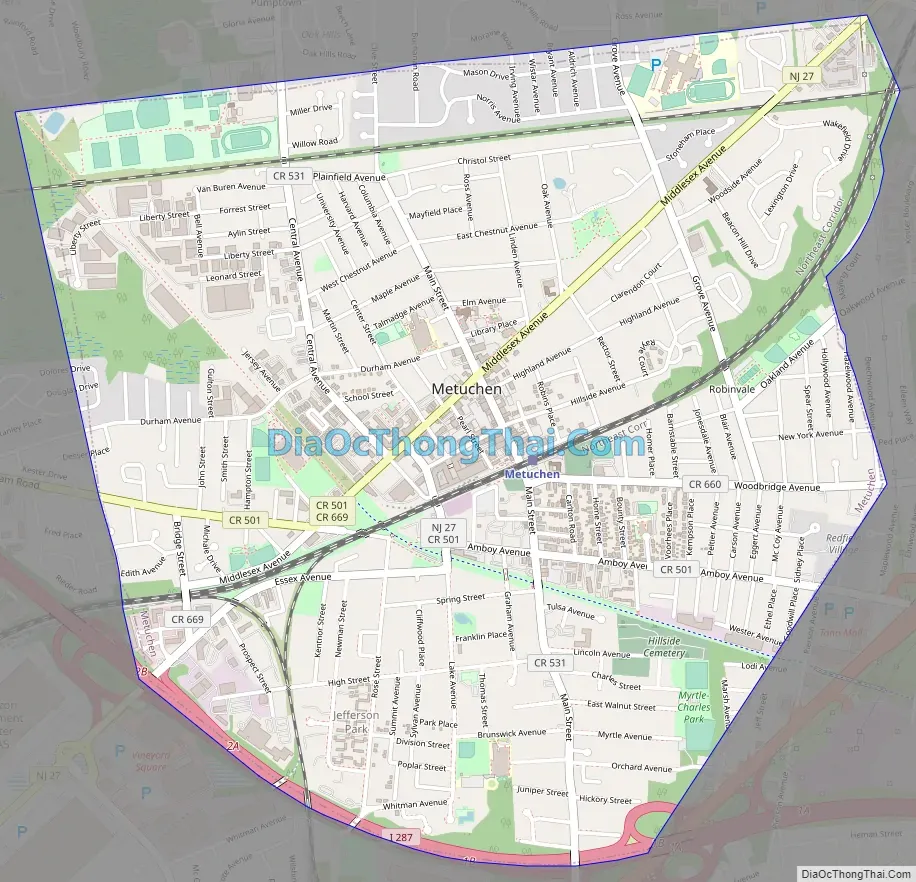
Metuchen city Satellite Map

Geography
According to the United States Census Bureau, the borough had a total area of 2.85 square miles (7.39 km), including 2.85 square miles (7.38 km) of land and <0.01 square miles (0.01 km) of water (0.07%).
The Borough of Metuchen is completely surrounded by Edison, making it part of 21 pairs of “doughnut towns” in the state, where one municipality entirely surrounds another.
Unincorporated communities, localities and place names located partially or completely within the township include Jefferson Park and Robinvale.
Metuchen has been a state-designated “town center” since 1996 and “transit village” in 2001. The borough has been recognized for its smart growth development. Plans to build a residential and commercial center with 700 parking spaces on a parking lot adjacent to the train station were announced in July 2014.
See also
Map of New Jersey State and its subdivision: Map of other states:- Alabama
- Alaska
- Arizona
- Arkansas
- California
- Colorado
- Connecticut
- Delaware
- District of Columbia
- Florida
- Georgia
- Hawaii
- Idaho
- Illinois
- Indiana
- Iowa
- Kansas
- Kentucky
- Louisiana
- Maine
- Maryland
- Massachusetts
- Michigan
- Minnesota
- Mississippi
- Missouri
- Montana
- Nebraska
- Nevada
- New Hampshire
- New Jersey
- New Mexico
- New York
- North Carolina
- North Dakota
- Ohio
- Oklahoma
- Oregon
- Pennsylvania
- Rhode Island
- South Carolina
- South Dakota
- Tennessee
- Texas
- Utah
- Vermont
- Virginia
- Washington
- West Virginia
- Wisconsin
- Wyoming


