Milford is a borough located in western Hunterdon County, in the U.S. state of New Jersey. As of the 2020 United States census, the borough’s population was 1,232, a decrease of one person (−0.1%) from the 2010 census count of 1,233, which in turn reflected an increase of 38 (+3.2%) from the 1,195 counted at the 2000 census.
Milford was incorporated as a borough by an act of the New Jersey Legislature on April 15, 1911, from portions of Holland Township, based on the results of a referendum held on May 8, 1911. The borough’s incorporation was confirmed on March 13, 1925.
The borough is located on the Delaware River in the western portion of Hunterdon County, known as the Hunterdon Plateau. The borough dates to the mid-18th century when a grist mill was established beside a river in what was then Bethlehem Township. After the mill was destroyed by fire in 1769, the settlement became known as Burnt Mills in Alexandria Township. The area was renamed as “Lowreytown” after Thomas Lowrey purchased land in the area in 1796. The community became commonly known as “Millford” or “Millsford” by the beginning of the 19th century, but by 1844 the name had lost a letter or two. By 1863 it was consistently spelled as “Milford”. The community was incorporated in 1911 but the official incorporation was not registered until 1925.
| Name: | Milford borough |
|---|---|
| LSAD Code: | 21 |
| LSAD Description: | borough (suffix) |
| State: | New Jersey |
| County: | Hunterdon County |
| Incorporated: | May 8, 1911 |
| Elevation: | 253 ft (77 m) |
| Total Area: | 1.27 sq mi (3.29 km²) |
| Land Area: | 1.18 sq mi (3.06 km²) |
| Water Area: | 0.09 sq mi (0.23 km²) 6.93% |
| Total Population: | 1,232 |
| Population Density: | 1,042.0/sq mi (402.3/km²) |
| ZIP code: | 08848 |
| Area code: | 908 |
| FIPS code: | 3446260 |
| GNISfeature ID: | 885301 |
| Website: | www.milford-nj.us |
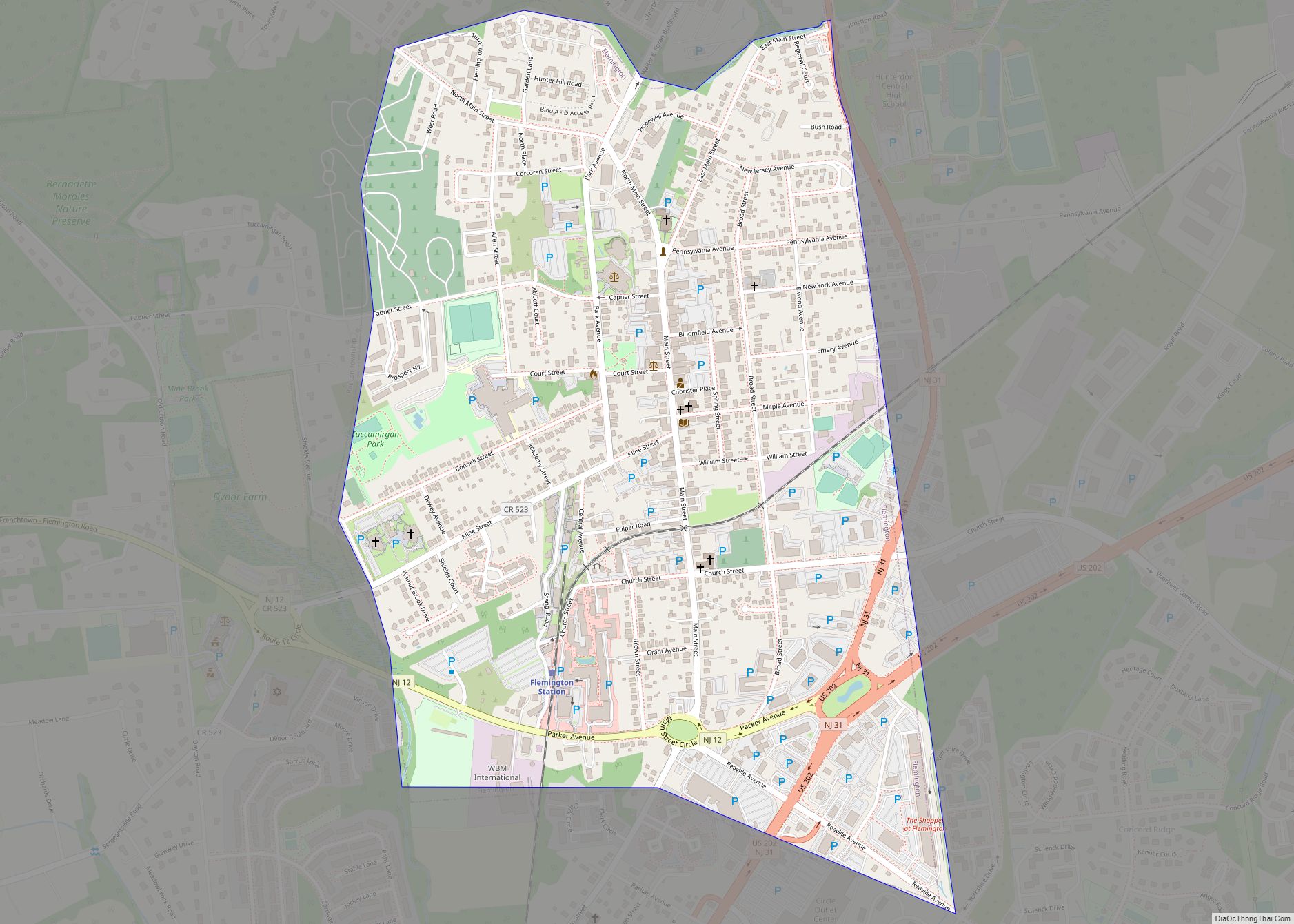
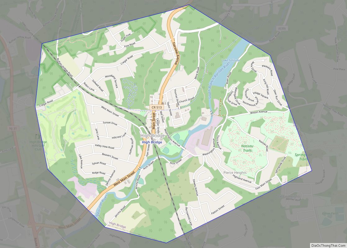
Online Interactive Map
Click on ![]() to view map in "full screen" mode.
to view map in "full screen" mode.
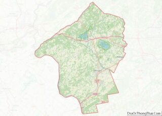
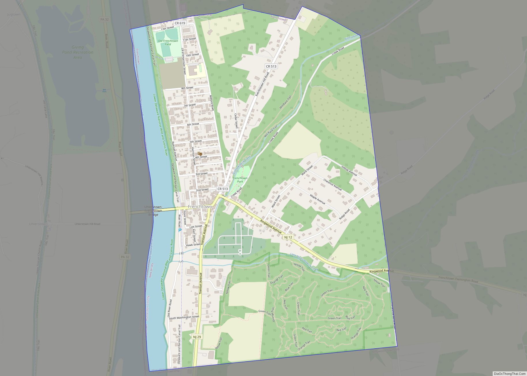
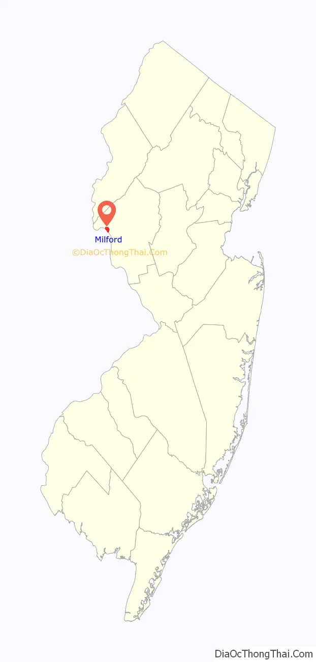
Milford location map. Where is Milford borough?

Milford Road Map

Milford city Satellite Map

Geography
According to the United States Census Bureau, the borough had a total area of 1.27 square miles (3.29 km), including 1.18 square miles (3.06 km) of land and 0.09 square miles (0.23 km) of water (6.93%).
Milford borders the municipalities of Alexandria Township and Holland Township in Hunterdon County; and Bridgeton Township in Bucks County, Pennsylvania, across the Delaware River in the Commonwealth of Pennsylvania.
See also
Map of New Jersey State and its subdivision: Map of other states:- Alabama
- Alaska
- Arizona
- Arkansas
- California
- Colorado
- Connecticut
- Delaware
- District of Columbia
- Florida
- Georgia
- Hawaii
- Idaho
- Illinois
- Indiana
- Iowa
- Kansas
- Kentucky
- Louisiana
- Maine
- Maryland
- Massachusetts
- Michigan
- Minnesota
- Mississippi
- Missouri
- Montana
- Nebraska
- Nevada
- New Hampshire
- New Jersey
- New Mexico
- New York
- North Carolina
- North Dakota
- Ohio
- Oklahoma
- Oregon
- Pennsylvania
- Rhode Island
- South Carolina
- South Dakota
- Tennessee
- Texas
- Utah
- Vermont
- Virginia
- Washington
- West Virginia
- Wisconsin
- Wyoming